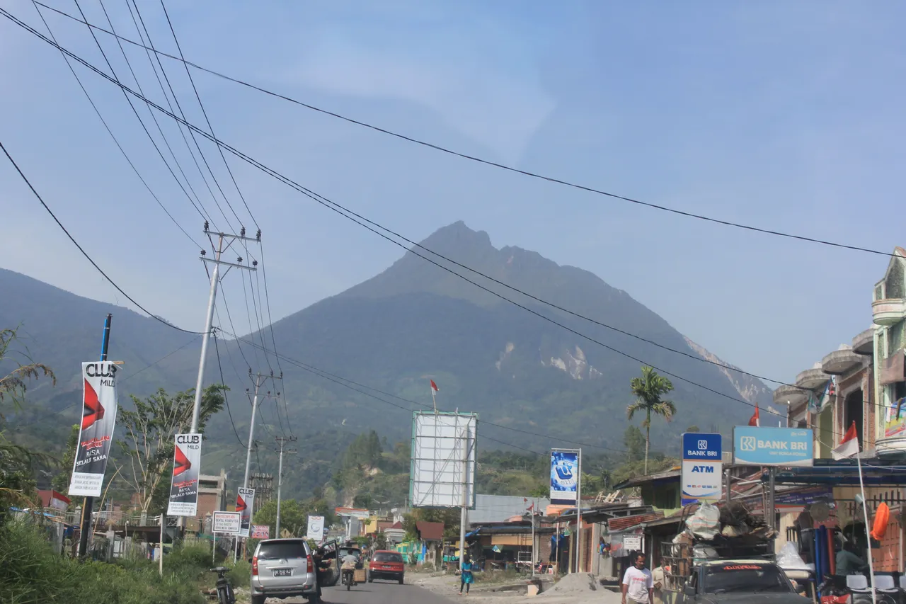
Burni Telong is located at an altitude of 2,624 meters above sea level, the strato type has five craters which are all at the top. Geographically located at 4 degrees 46 North Latitude and 96 degrees 48.5 East Longitude. Meanwhile, Mount Seulawah Agam has a height of 1726 meters above sea level. Geologically, Type A volcano indicates that the volcano has experienced a magmatic eruption at least once after 1600.
Location : Bener Meriah District
Based on existing data as written by Neuman Van Padang (1951), Burni Telong once increased its activity or erupted in 1837, at the end of September that year, there were several eruptions and earthquakes that caused much damage, Neuman van Padang (1951) as a normal eruption of the central crater.
Signed
@zulfikar170280