Today the route to follow is quebrada quintero today I will show you in every step I took I found every , insect , plant and landscape that I have to describe here , also as I said a few days ago I am a great hiker and I love the mountain more photography that today I will show you I hope you like it and enjoy as much as I do , I will place some labels that go according to each photograph and community I do not know if this can because everything in itself is related to the same environment enjoy it then .
General information. Passing slowly and briefly through the low sierra, from PGP Sabas Nieves I to Pajaritos camp. The two main peaks of Altamira (a short climb with a natural view at 1,187 meters above sea level) then descend gently over the town. Three levels of light are covered, allowing you to enjoy the grass in different conditions. ITINERARY: Transversal. 10 de Altamira (995 masl) / Mirador (1187 masl) / Camp Pajaritos (1010 masl). Promotion.
Cross. 10 de Altamira (995 masl) / Mirador (1187 masl).
Ask. Mirador (1187 mas) / Pajaritos Camp (1010 m asl).
ROUTE: From point to point through a low hill with a length of 3.12 km. NOTE: 9 out of 25.
1- Circumference. 2.- 4 Risks: Crossing the water without a bridge. Exposure to insects/ophidian insects. Risk of tripping and falling on the road. Crossing the ravine without a bridge.
2- Design and method. 1.- Well-defined paths and stops. 3- Difficulty in moving around. 3. - Walking on cobblestones and stairs. 4.
4- Physical effort: 1. - Less than one (1) hour of walking is effective.
5- Slope: 2- Up to 36 degrees.
Level: not limited. First column: Boyacá Avenue, department of Altamira. PGP Sabas Nieves I (1006 m high) / Mirador (1187 m high). Top: 192 ms correct.
Distance to cover in section: 1.76 km. Estimated time of the section: 00:33:00.
The visit started at Av. Tramo Boyacá Altamira and immediately pass in front of the PGP Sabas Nieves I and find the stone steps that go through the Transversal 10 of Altamira. Here there are many kiosks. Going up the hill we found the first fork where we had to turn right and reach a small bridge. Passing on the right side of the small bridge, we had to cross to the right and continue on the small bridge.
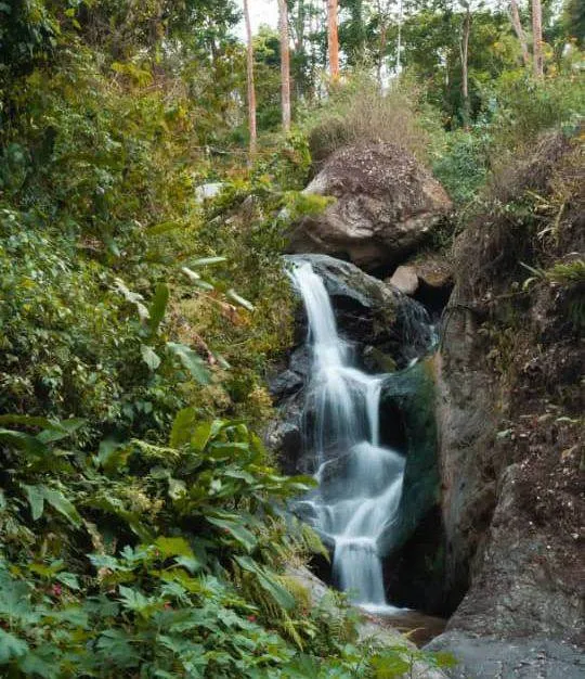
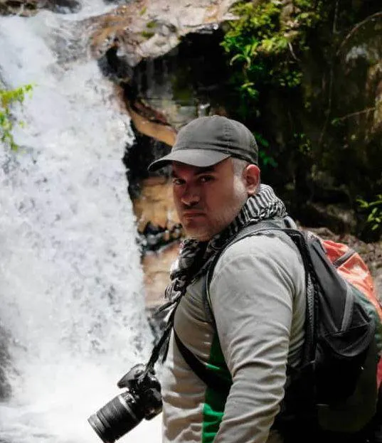
On the horizontal plane in southwest direction (towards the city), begins the hard dirt road, well defined and luxurious grass begins to turn to the northeast (mountain) to ascend moderately until you find some natural steps that lead to the highest point. to descend to the valley of Quintero (1070 m above sea level) a very good place by the waterfall that takes the air. Crossing the river you see the path by a new natural process (going down this time, as there are two paths, take the one on the right) to go to face and climb moderately zigzagging until you reach a high enough point that becomes a. kind of natural view over the city and the fork to the water (1187 meters above sea level). Total length of the route: 1.76 km.
Current total time: 0:33:00.
Second stage: Mirador (1187 masl) / Av. Distribución Boyacá, Altamira at 1026 meters above sea level. Upper part: 158 plus negative.
Distance to cover in section: 1.36 km. Estimated time of the section: 00:25:00.
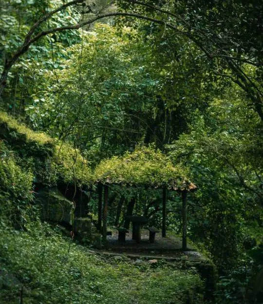
After passing the highest point, the slope turns and begins to descend sharply into the forest where eucalyptus trees are common. Soon you will see a fork (1185 meters above sea level) on the left side of the road, where you will turn right. To continue the descent manually resets a new junction (1174 meters above sea level) and the road leads undoubtedly to the nursery school and a little further to the park of Pajaritos. The paths are hard and well separated, with moderate slopes (up to 36 degrees), with moderate shade.
Total length of the route: 3.12 km.
Total time: 00:58:00. Suggestion:
- Do this route early in the morning, it is calmer and clearer. 2. Remember to drink water every 15 minutes and apply oil in the existing areas or carry enough water to hydrate yourself. 3. The food you take is the best (fruits, vegetables, sandwiches, etc.). 4. In your backpack carry at least a spare flannel, first aid and a flashlight. Additional information: Cell phone signal is intermittent throughout the trip.
WAYS PEOPLE'S FAMILIES DRIVE AND TALK. LET'S VISIT ONE. Start the descent in full sun.
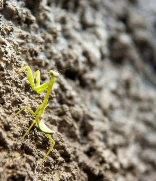
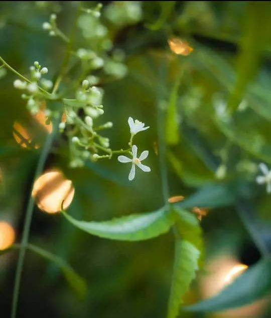
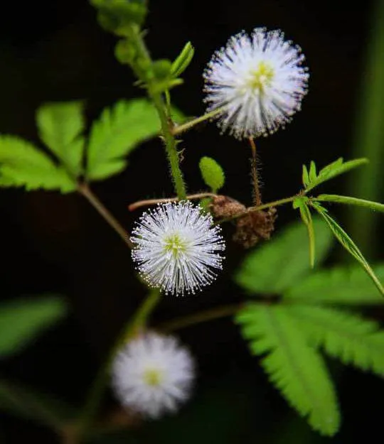
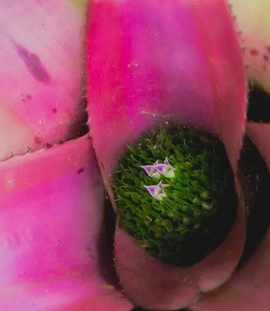
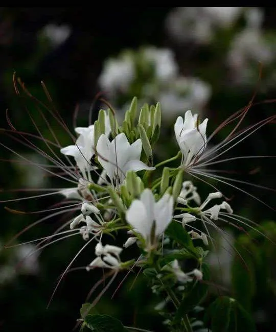
The ecosystem is full of different types of plants and grasses.
The vegetation of El Avila National Park varies according to the altitude above sea level, ranging from almost sea level to 2,765 meters above sea level.
Cerro el Ávila has more than 2,100 plant species, at least a dozen of which are endemic. The tree varies as we climb.
The first 500 meters
In the northern part of the park is a xerophytic forest, visible from the sea up to 500 meters above sea level, where we will observe species such as: Cují, Cardón, indio desnudo and other species of similar characteristics.
In the southern part of the park we see the mountainous savanna that begins at 1000 meters above sea level. This type of savanna reaches 1600 meters above sea level where the small pastures are mostly grasslands, which include grasses and reeds. and wood, mainly Capín Melao and Gamelote. Also on this side of the mountain we have clouds from 900 meters above sea level to 2500 meters above sea level with a lot of water and a type of grass in this type of forest on the mountainside. of the camp.
Andean scrub
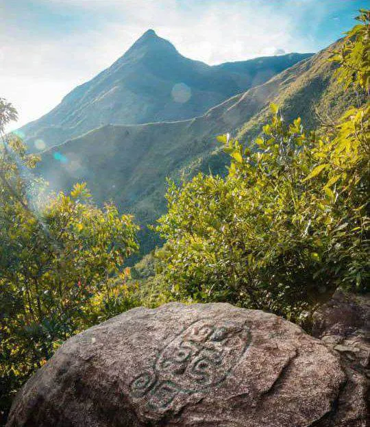
We have the Andean Scrub in the highest part, which is supposed to have a good relationship with the Andean heather, we can see Rosal de El Avila, Incienso, Bambucillo and others as dwarf trees on the edge of La Silla de Caracas and n' the south. Master line up to the top of Naiguatá. The Avila Palms
On the slopes of the southern hills is also found the Avila palm, whose leaves are used during Holy Week and Catholic celebrations.
It is important to note that near the valley there is a forest gallery with large grasses and large leaves. About 10 endemic plant species have been identified and there are also cultivated species, such as guamo, coffee and eucalyptus.