Every adventure is bound to have its own share of misadventures, reminding us that no matter how well-planned or exciting it may be, we must always be prepared for unexpected situations and willing to adapt to changing circumstances. By embracing uncertainty and facing challenges with resilience and flexibility, we can make the most of every adventure and even find unexpected joy and meaning in the journey.
Although we had initially planned to conquer the highest mountain in the Philippines, Mt. Apo (2,954 MASL), a natural calamity hindered our adventure. However, we did not let this setback stop us from exploring other exciting possibilities. We decided to trek up nearby peaks such as Mt. Kalatungan and Mt. Wiji, which are also among the highest mountains in the Philippines.
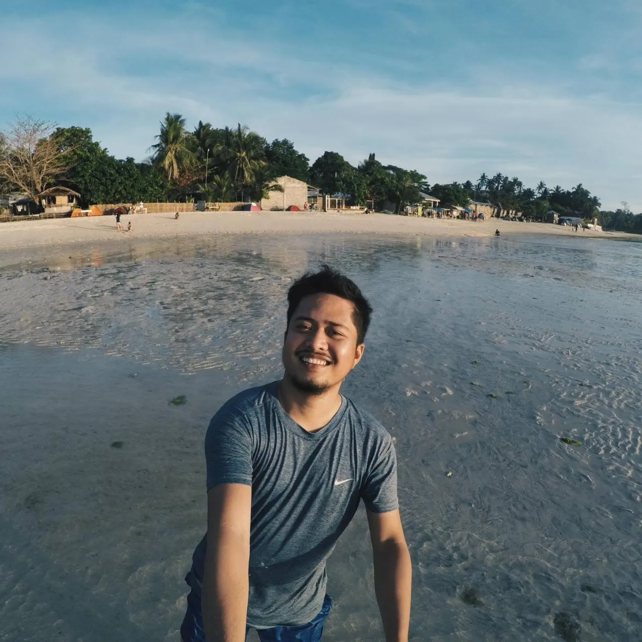
Our adventure began with an early flight to Davao's Francisco Bangoy International Airport, but we encountered a slight hiccup. One of our organizers realized that she had left her valid ID at home, which was essential to board the plane. With boarding time approaching, we had to think quickly and arranged for the ID to be delivered to the airport via a motorcycle delivery app.
Luckily, it arrived on time, but we were quite anxious that she might not make it. We found her running towards the boarding gate, and we all breathed a sigh of relief.
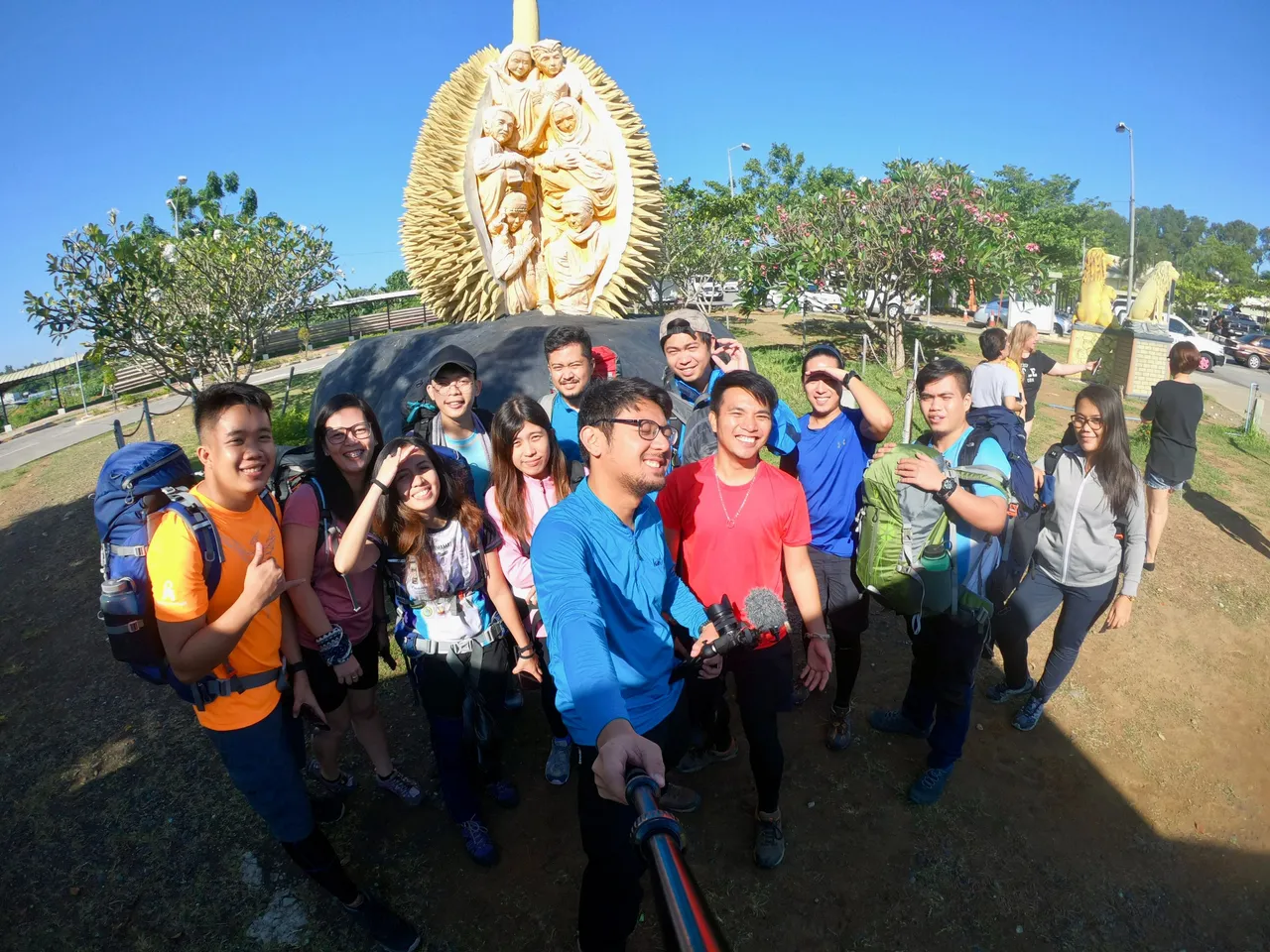
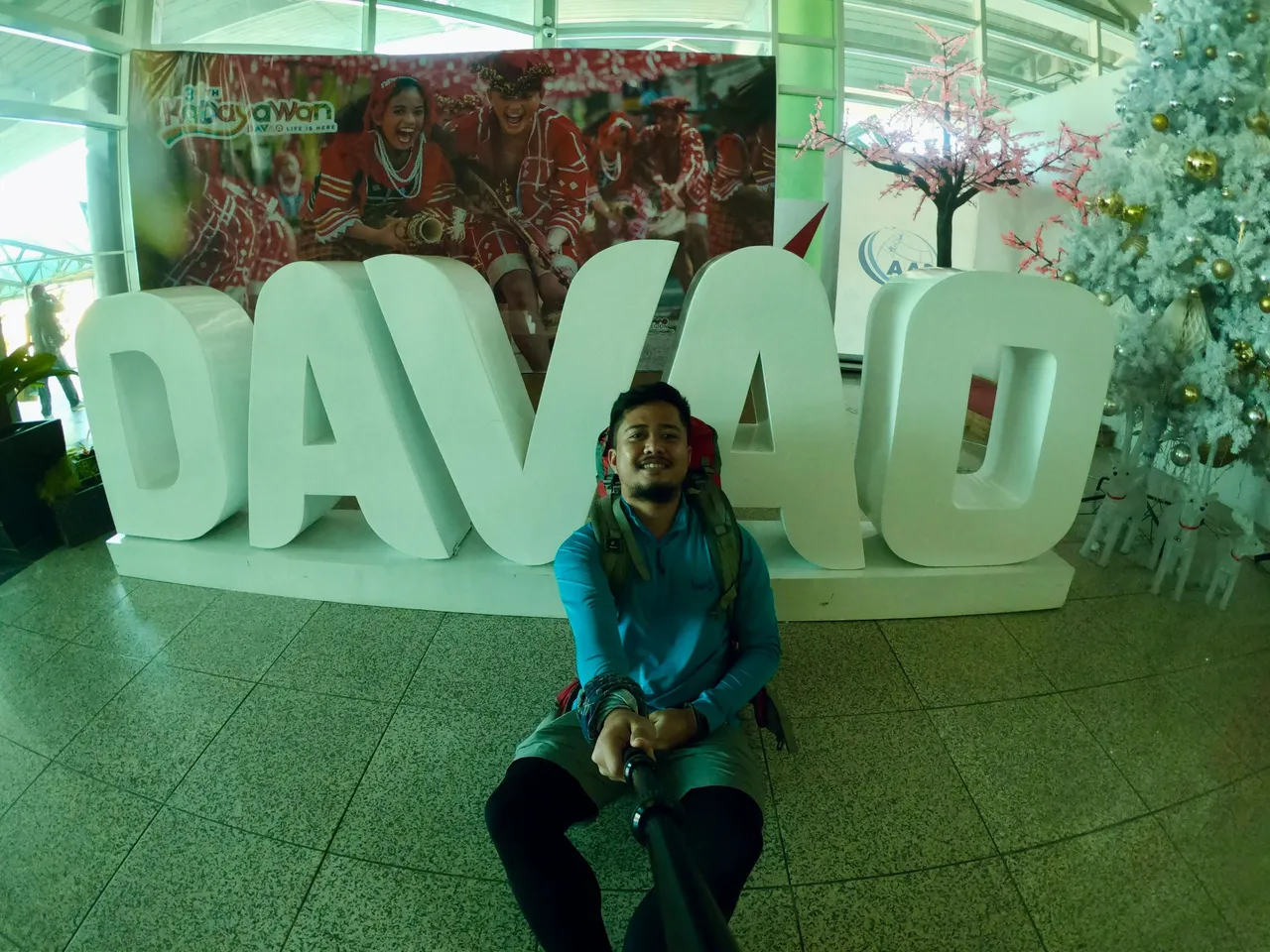
After an hour's flight, we arrived in Davao. From there, a van picked us up and drove us to the registration area in Pangantucan, Bukidnon.

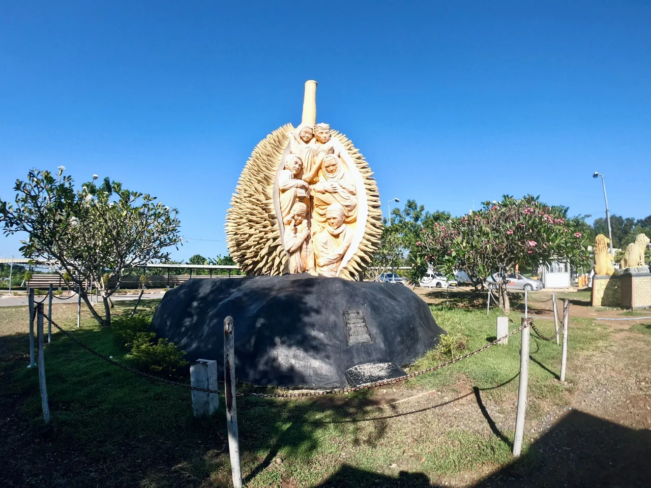
Pangantucan Tourism Office
187 kilometers from the airport, we arrived at the Pangantucan Tourism Office for our registration and orientation, where we were briefed on the dos and don'ts and learned about how the tribal communities living there perform a ritual offering of a live chicken to the mountain deities before the climb.
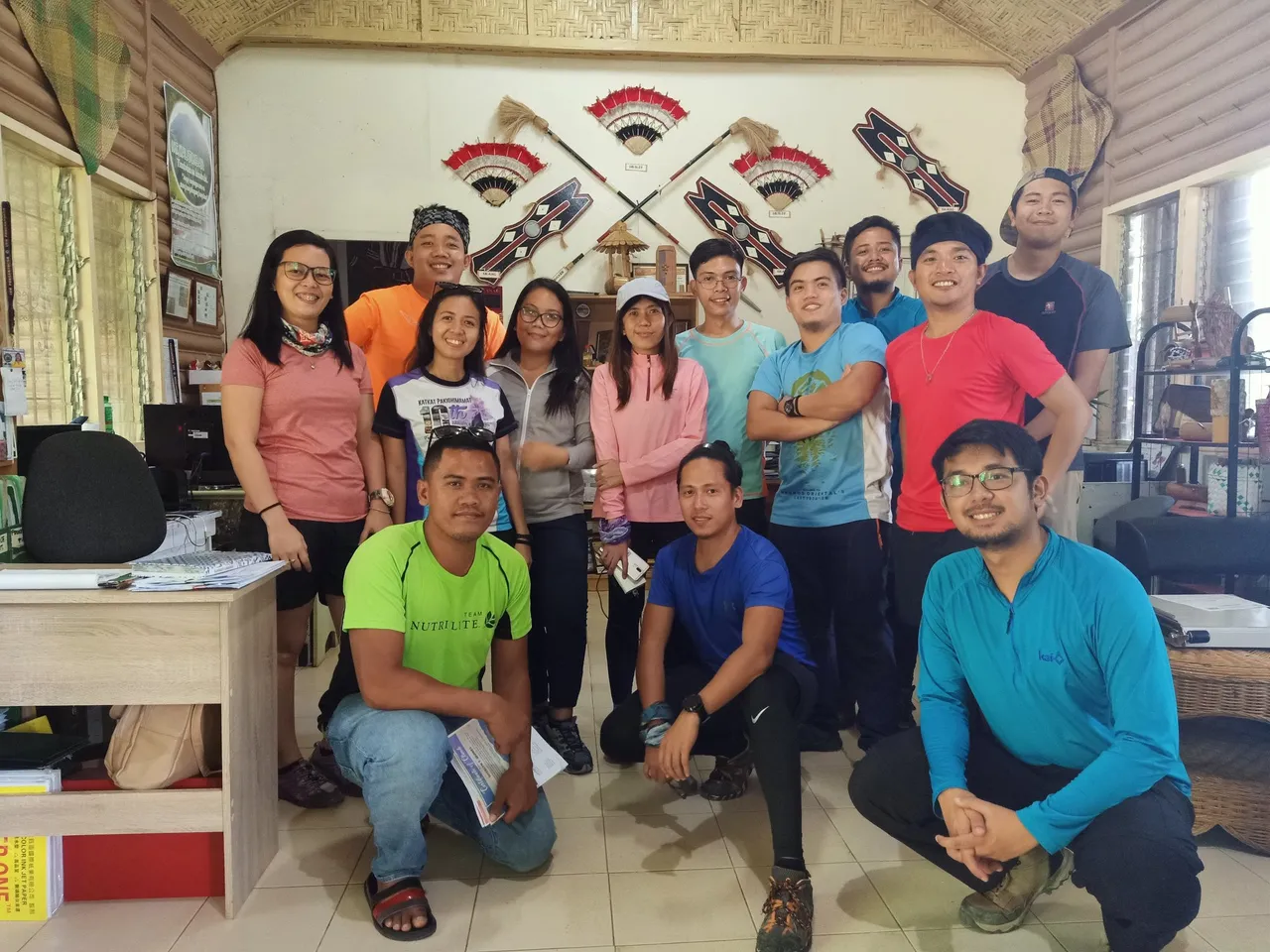
Photo credits to @zanbarluado
Arduous Ascent To The Philippines' 5th Highest Peak
After the orientation and taking the mandatory group picture, we headed back to the van and proceeded to the actual jump-off point at Brgy. Mendis Gymnasium, which is about 8.5 kilometers away from the Tourism Office.
We arrived at Brgy. Mendis around 4:30 PM, with a dark cloud looming in the background. The local chief decided to perform the ritual while we were on the way to the view deck.
|
|
|
|---|---|
|
|
|
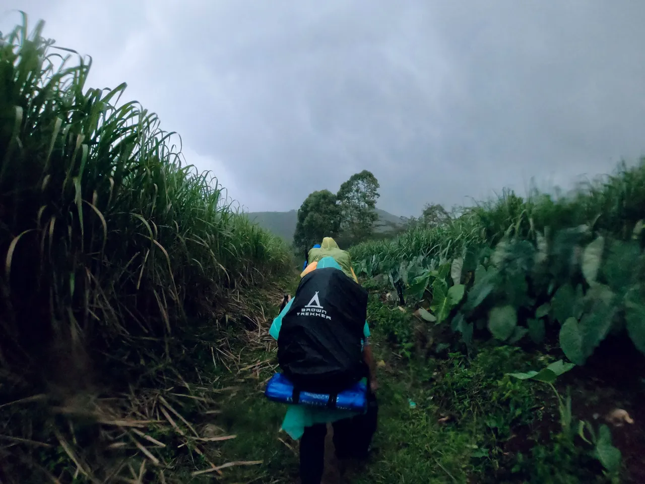
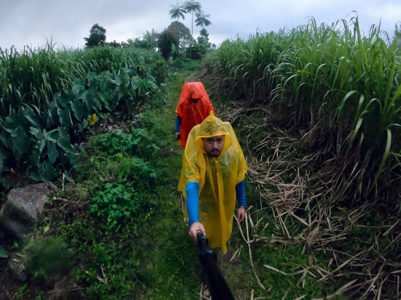
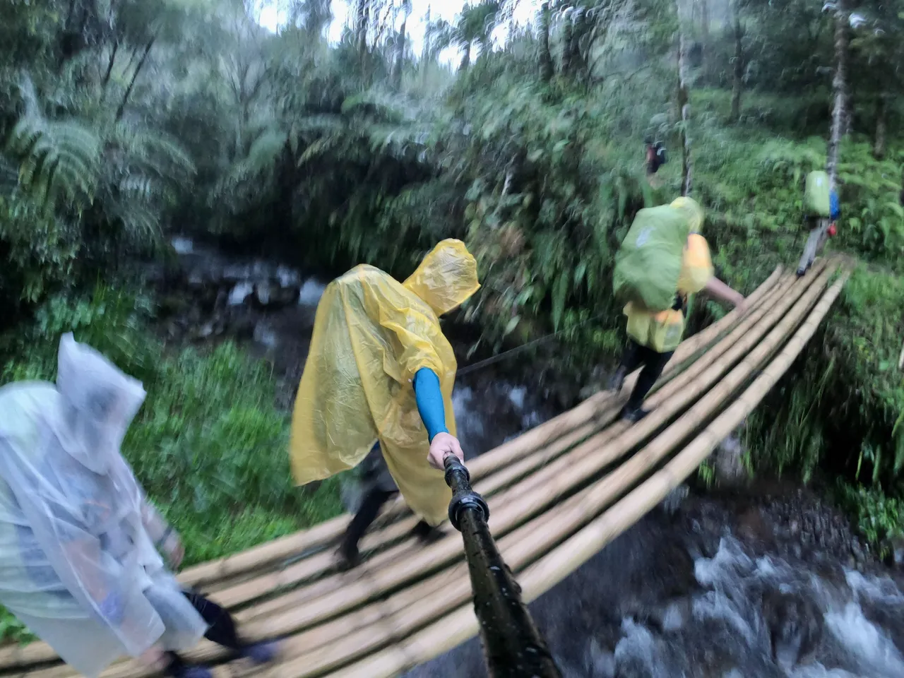

Our hike began at 5:00 PM, with us wearing ponchos and rain jackets. Just a few meters away from the gymnasium, it started to rain heavily. As it grew darker, the rain persisted, and the trail became wet and created a lot of deep puddles. We had to be careful not to fall on them. Our friend John had a hard time as he kept falling on the puddles, but his long legs saved him. LOL.
Viewdeck
The 2-storey view deck is located 3.6 kilometers from Brgy. Mendis Gymnasium and stands at around 1,607 MASL.
Despite having our rain jackets and ponchos on, we were still soaking wet when we arrived at the view deck. We immediately took off our wet clothes and hung them on the second floor of the deck, where we were also going to sleep that night. While we were getting comfortable and preparing our beds, the guides were busy preparing our dinner in the kitchen below.
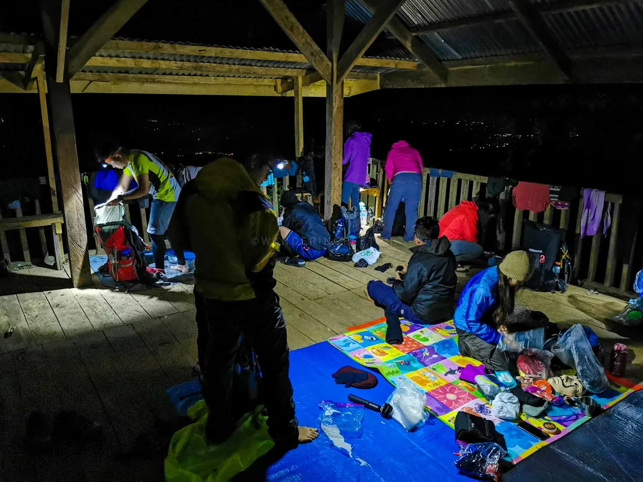
Photo credits to wanderingfeetph
Conquering Mt. Kalatungan Peak
After dinner, we quickly tucked ourselves into our sleeping bags. The deck had a roof but no walls, so we had to keep warm with our jackets inside our sleeping bags. We ended the night early as we had to wake up at 2:00 AM the next day.
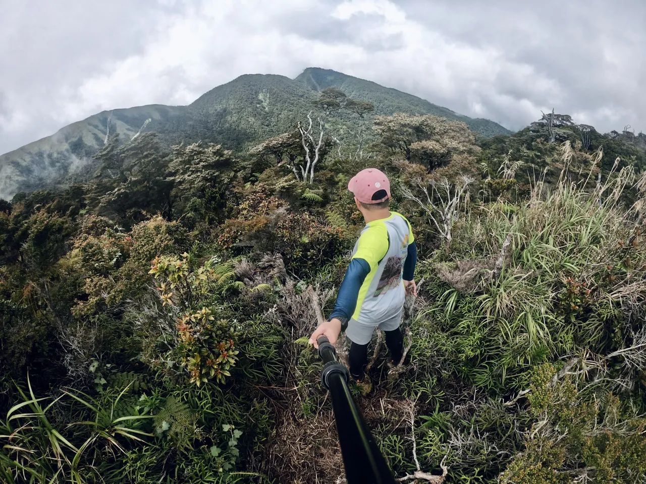
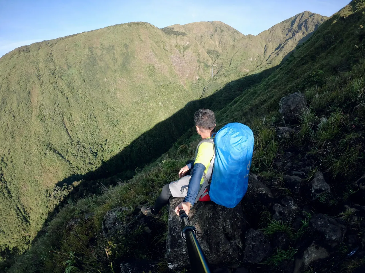
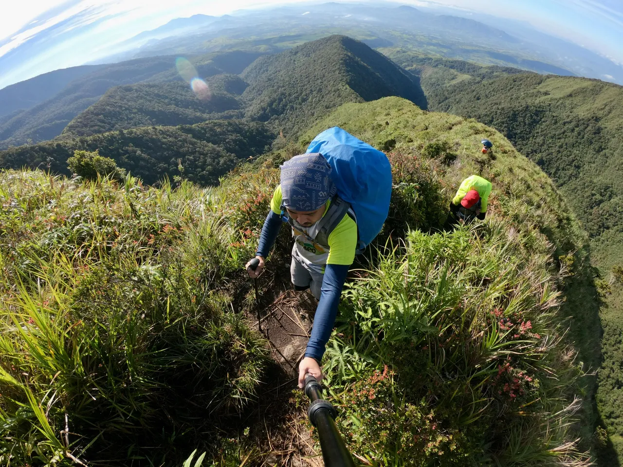
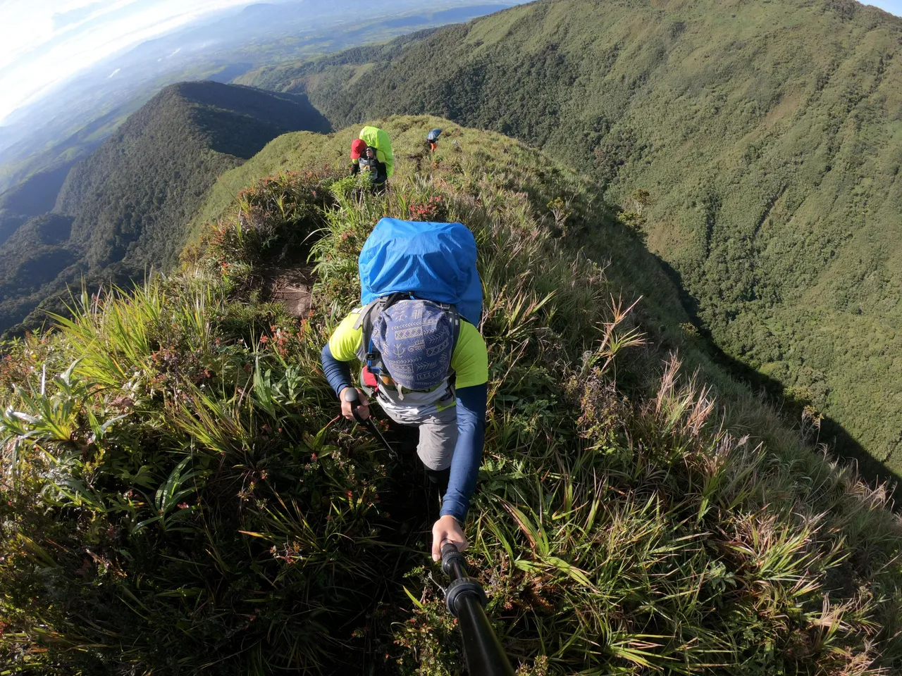
I was awakened by the noises made by my friends preparing their things at 2:00 AM, and the guides had already prepared our lunch. We started our ascent past 3:00 AM, and I was a little scared of the steep ascent through Buko-buko sa Anay. Although I had read a lot of blogs about Mt. Kalatungan prior to the climb to prepare myself for the actual climb, it was different once we were on the trail.
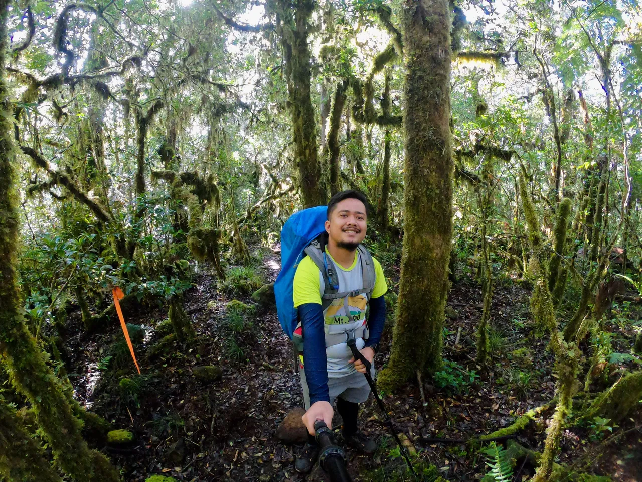
CJ and I were on the sweeper team with one of our guides, either Kuya Babu or one of the other guides. The first part of the trail was a subtle ascent into the forest, but we could not see anything except for the parts illuminated by our headlamps.
Kikikoka Peak
After walking 1.21 kilometers from the Viewdeck, we reached Kikikoka Peak (1,907 MASL). However, since it was still dark, we decided to press on. From there, we could already see the surrounding mountains in the distance.
|
|
|
|---|---|
|
|
|
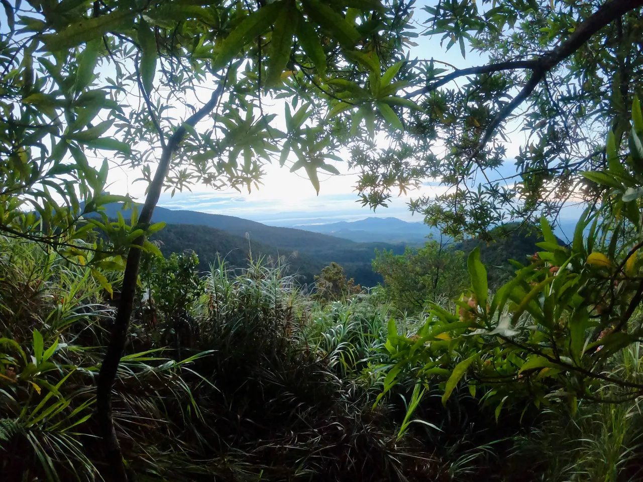
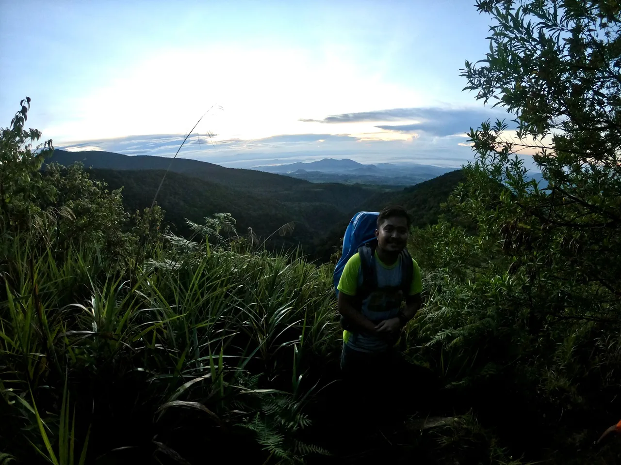
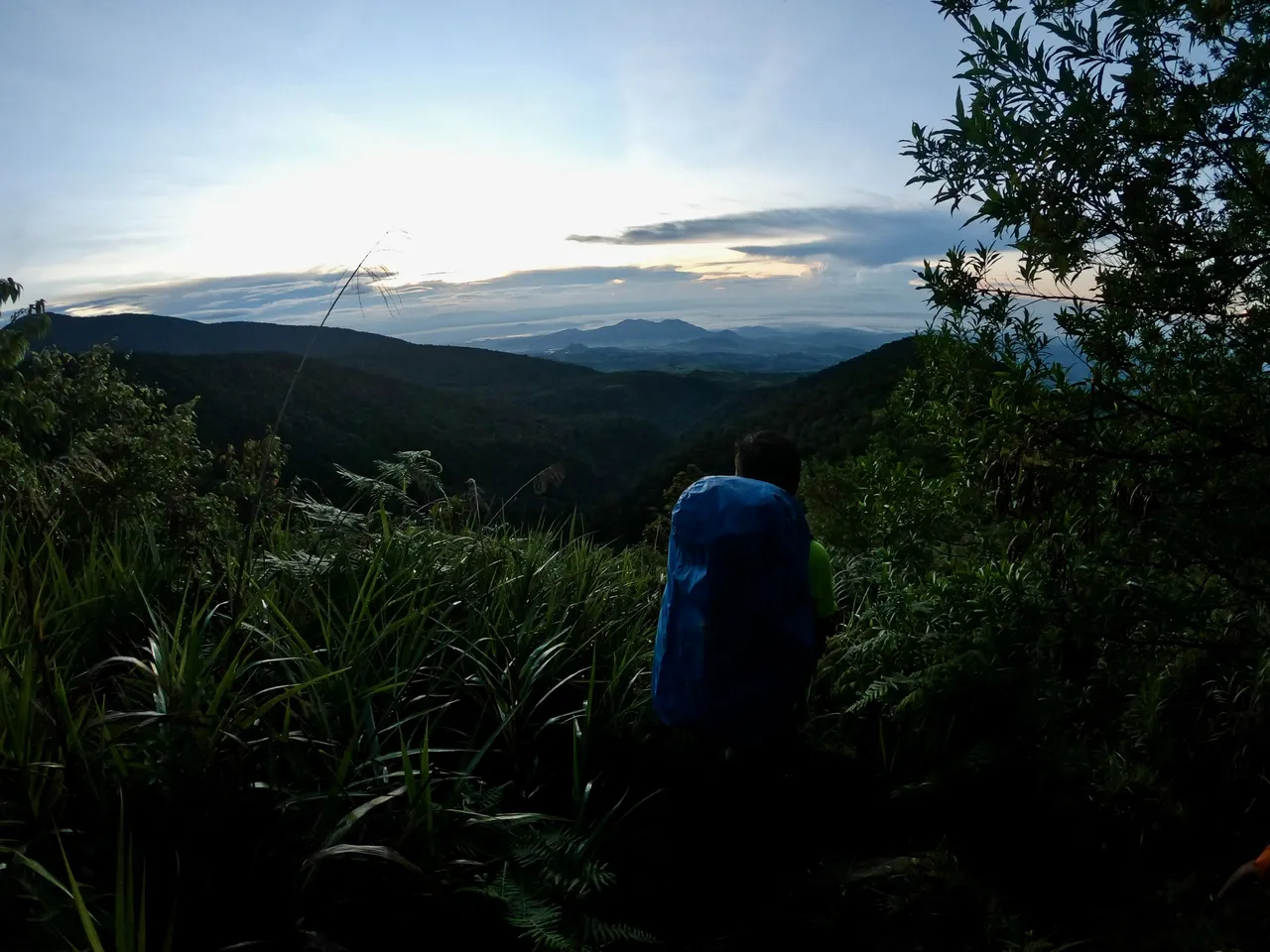
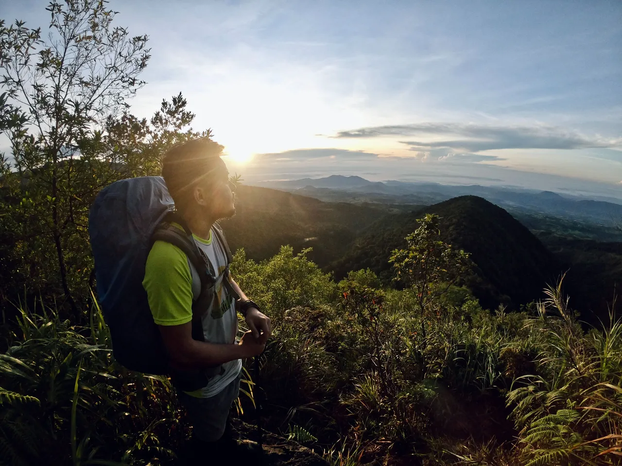
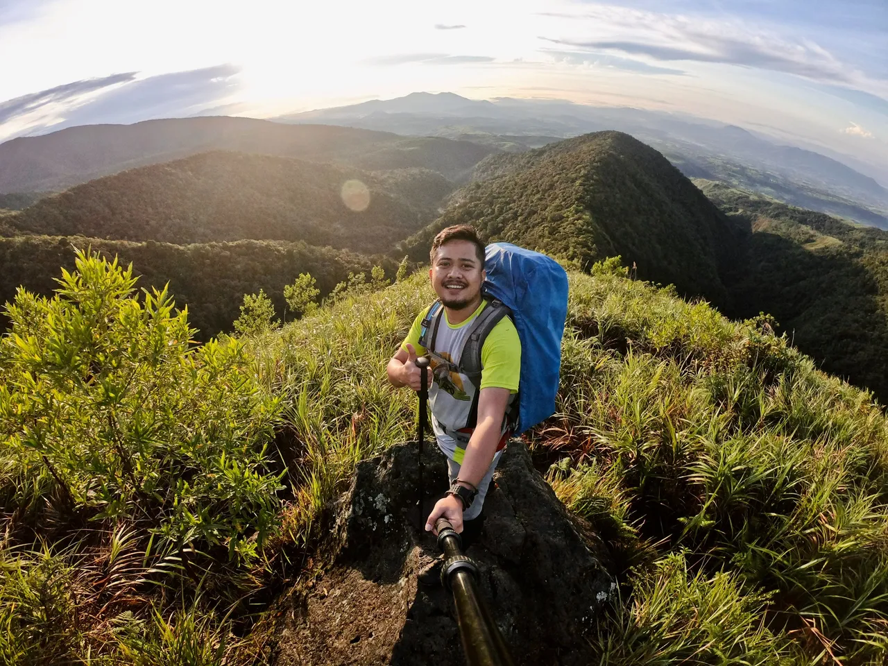
I was amazed by the stunning beauty of the mountains, which was intensified by the colors of the sunrise.
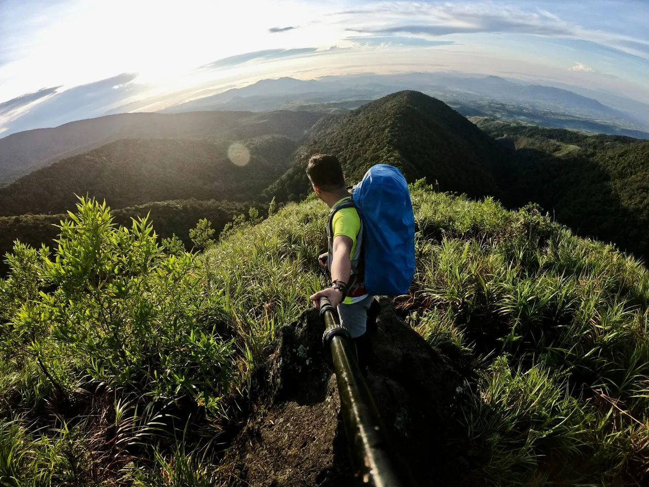
It left us in awe and made us pause for a moment to appreciate its magnificence.
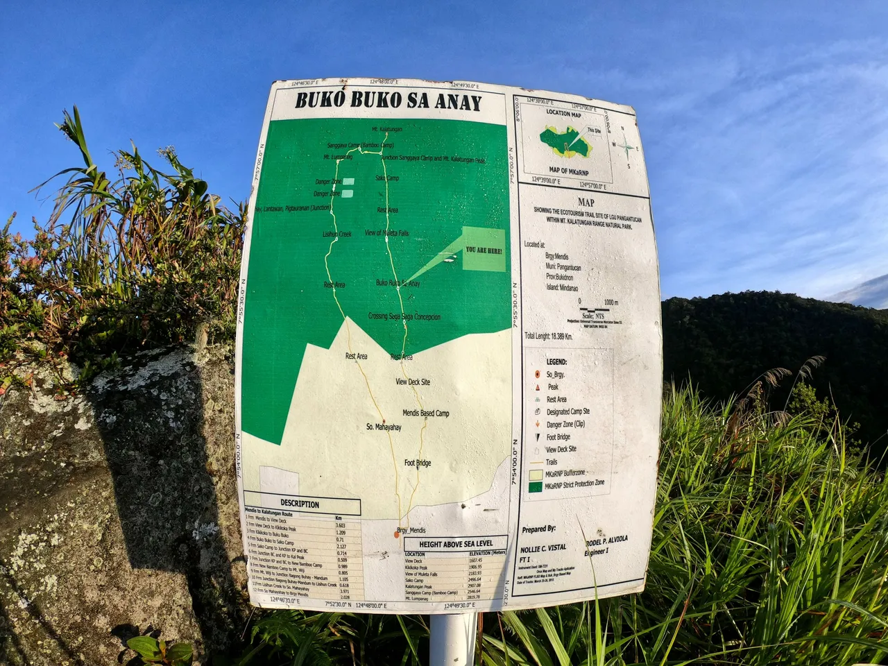
Buko-buko sa Anay
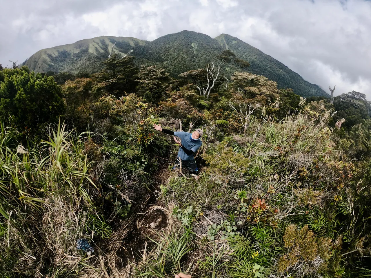
In less than 1 kilometer from Kikikoka Peak, we reached the entrance of Buko-buko sa Anay (2,003 MASL).
We hiked for a few hundred meters until we reached the viewdeck overlooking Muleta Falls (2,184 MASL).
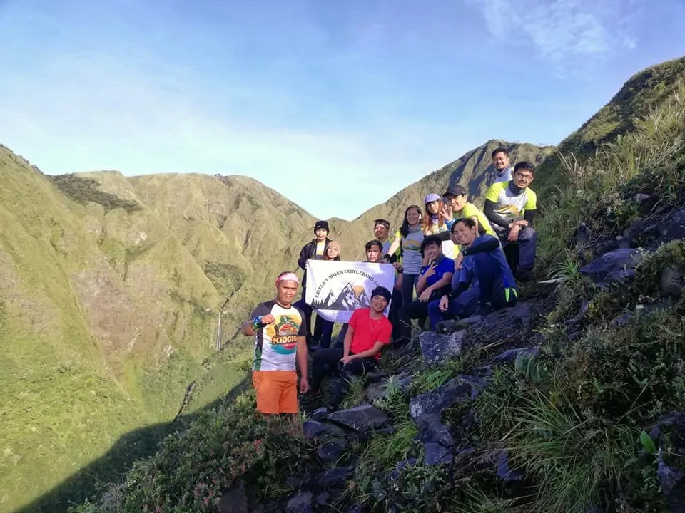
Photo credits to Shiela Mae Genita Piscos
Mt. Kalatungan (Buko-buko sa Anay)
After taking group pictures with the falls, we continued our hike.
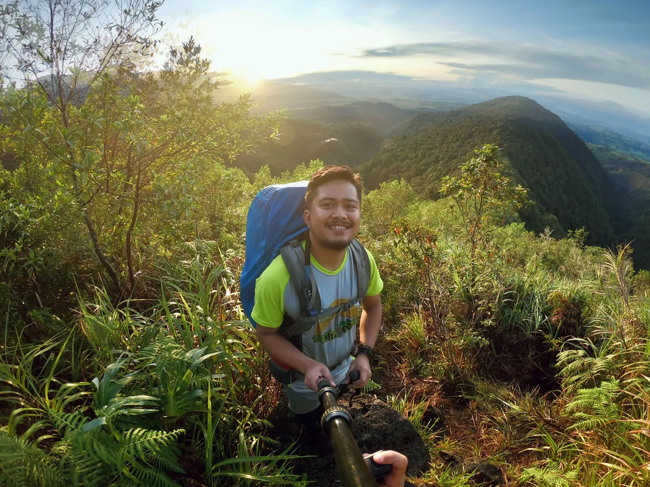
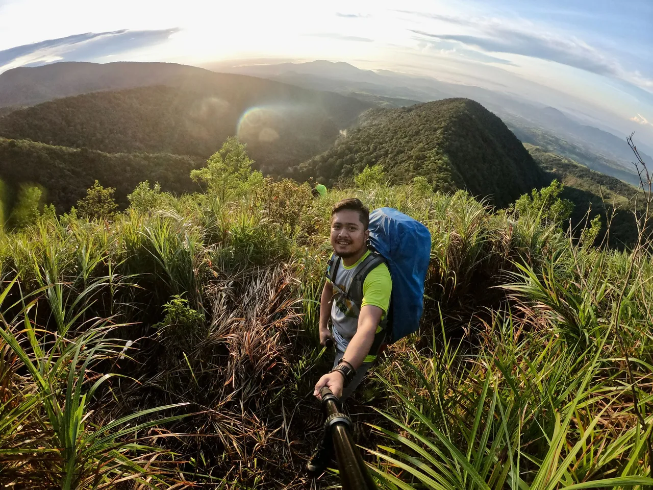
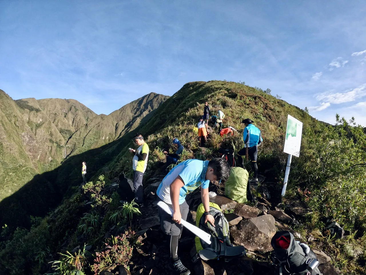
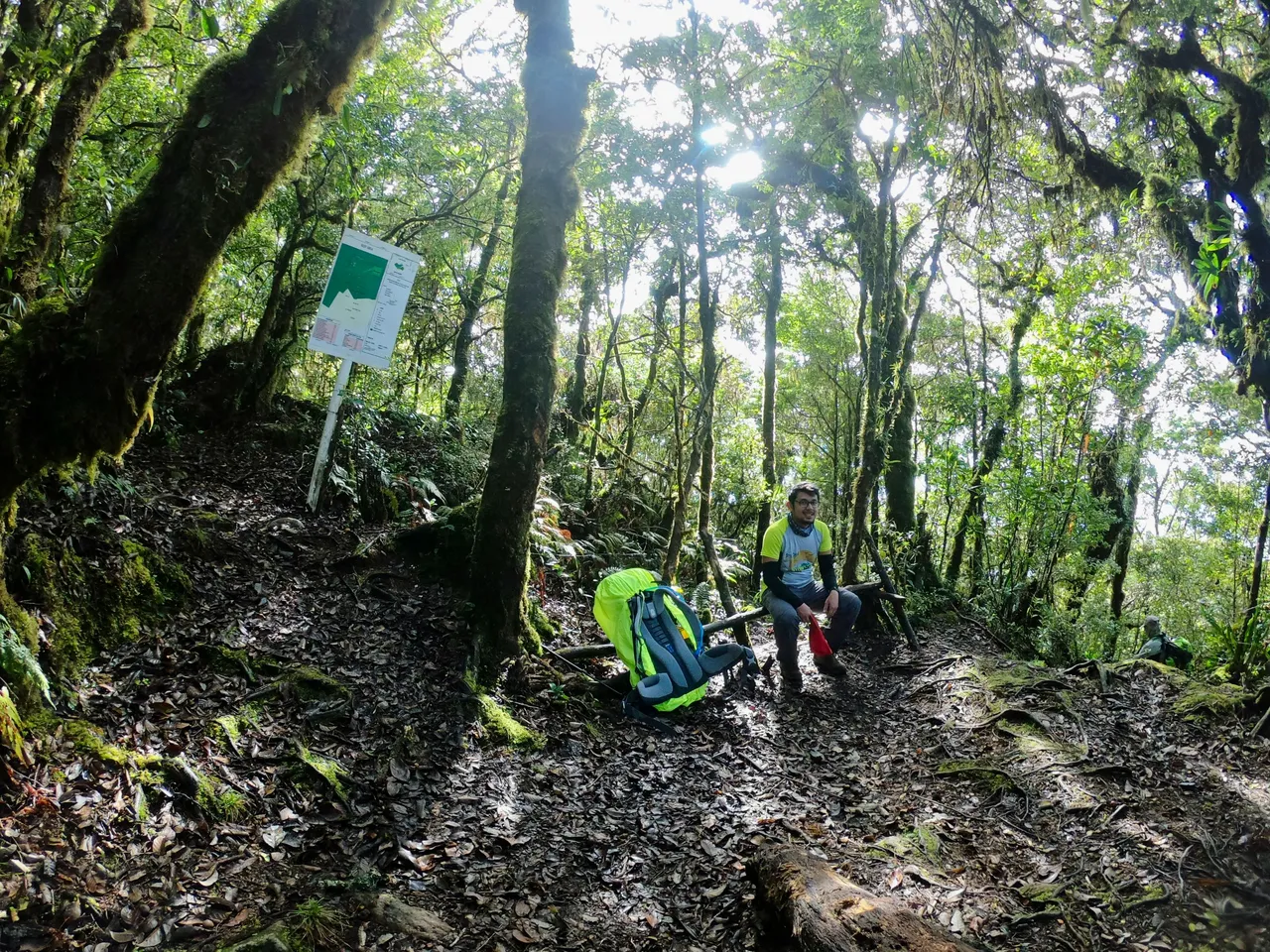
The grueling ascent continued and 2.13 kilometers from Buko-buko sa Anay, we reached Sako Camp (2,497 MASL).

Although we were supposed to rest there, we decided to proceed straight to the Junction Area that leads to Kalatungan Summit.
Junction Sanggaya Camp-Kalatungan Summit
After leaving Sako Camp, we soon reached the Junction, which was located less than a kilometer away. One of our guides was waiting for us there, and we left our bags behind to continue our trek to the summit. Along the way, we passed through a long stretch of mossy trees, which added to the mystical atmosphere of the place.
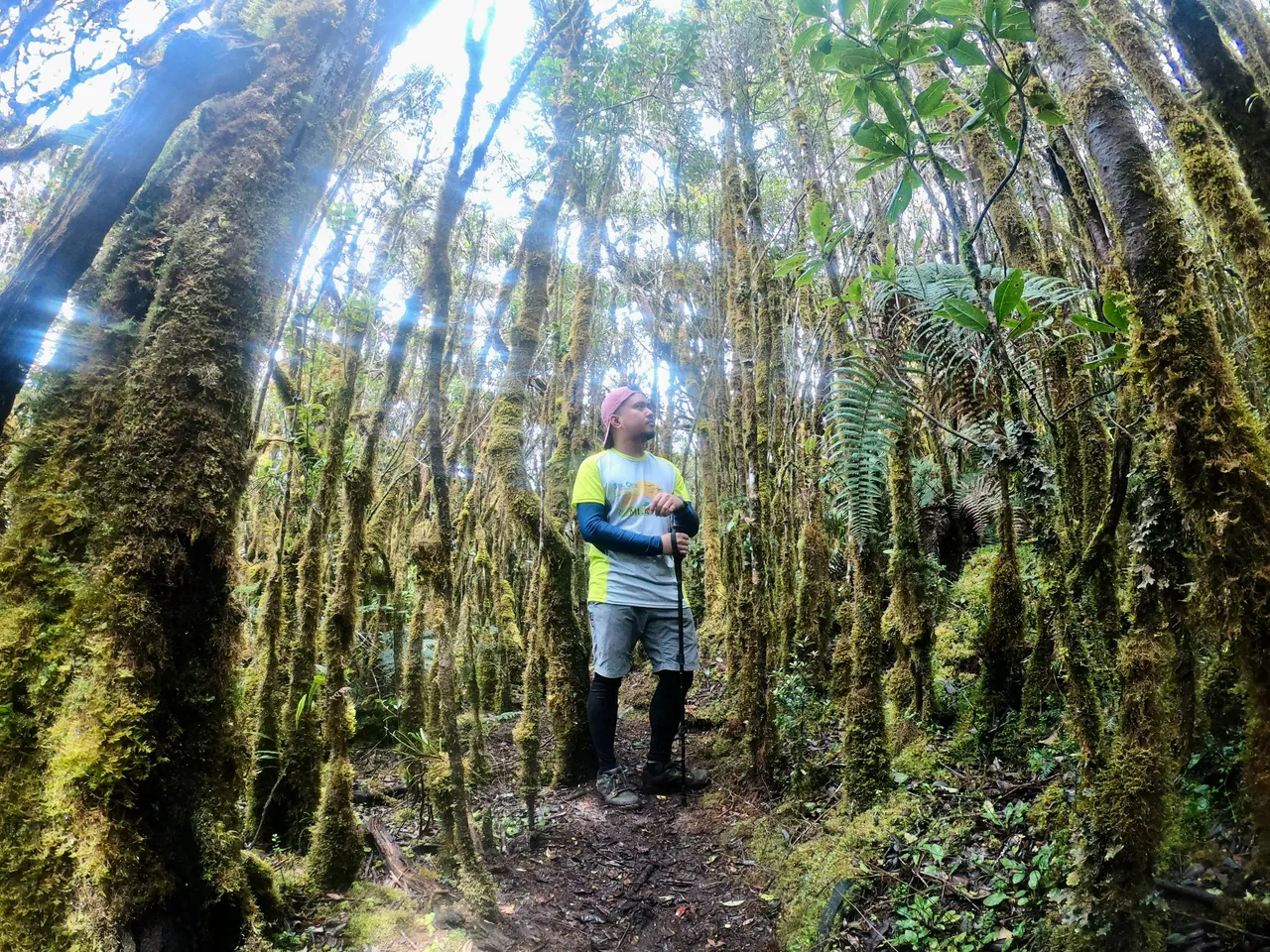
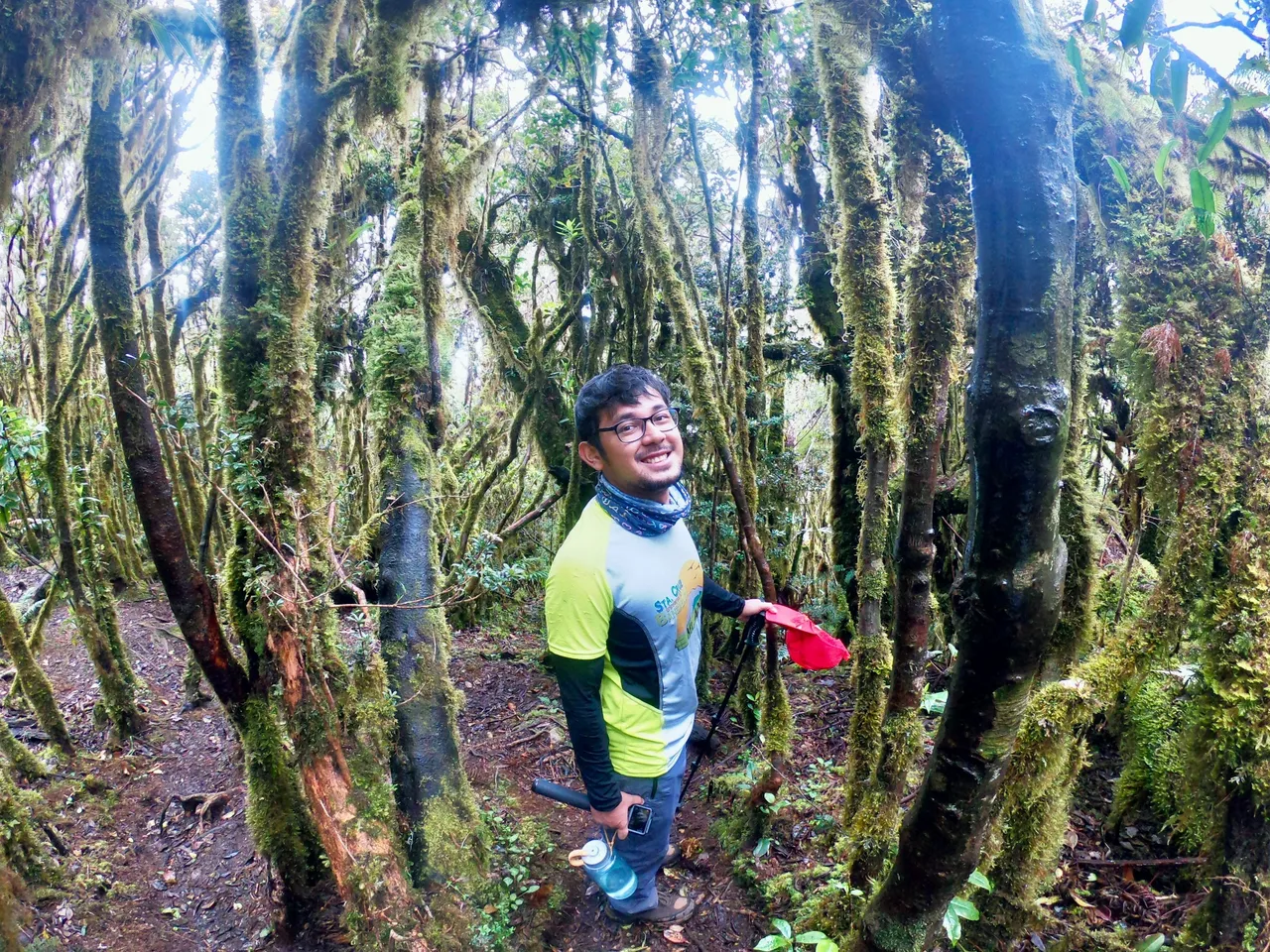
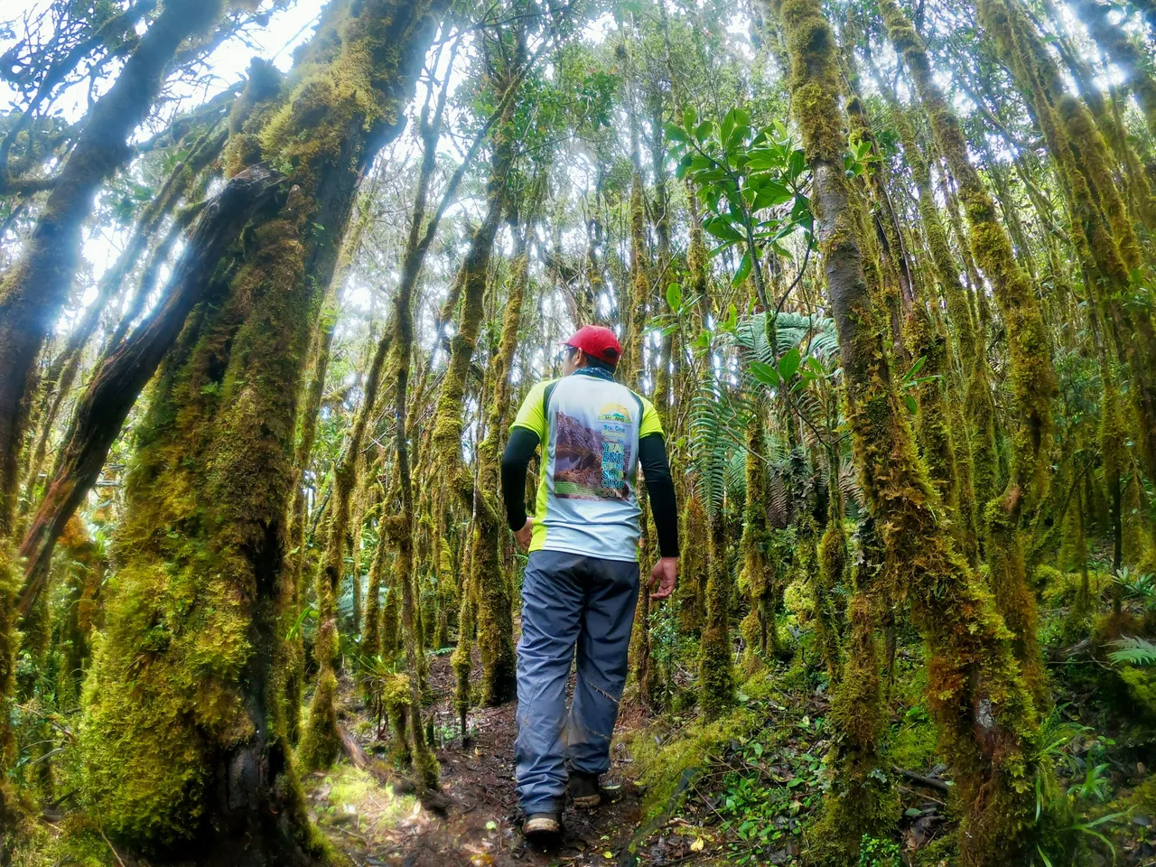
We paused for a minute to take some pictures with the enchanting forest.
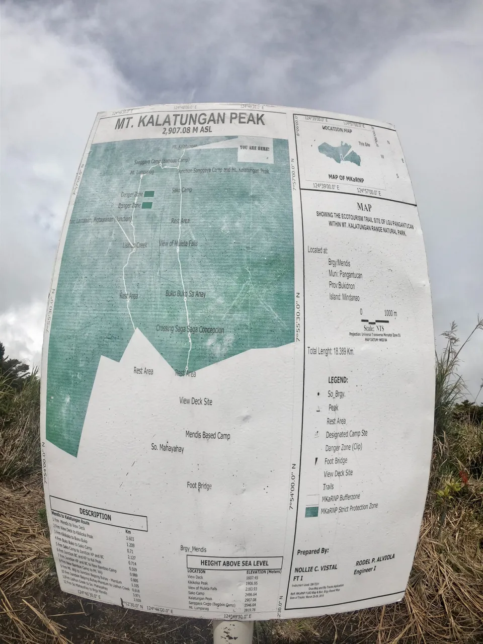
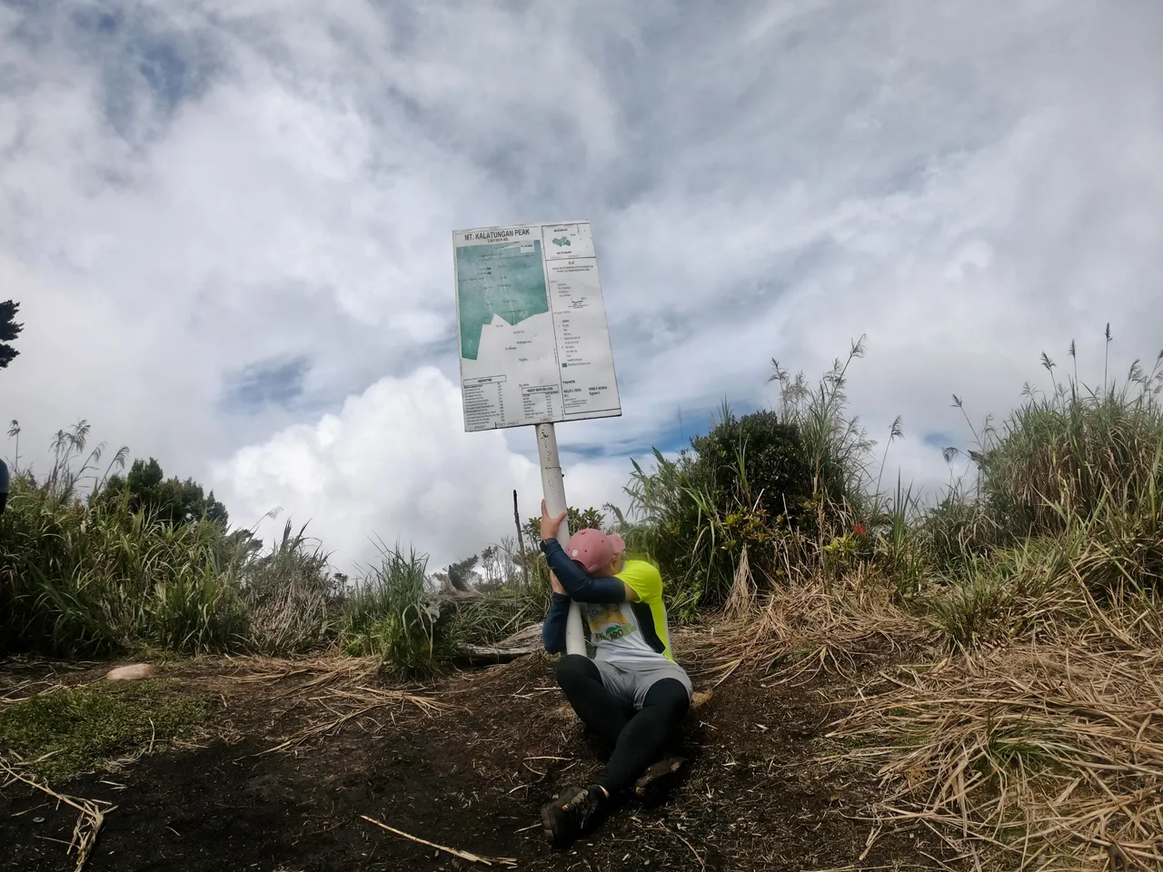
Kalatungan Peak
Mt. Kalatungan is the fifth highest mountain in the Philippines, with an elevation of 2,880 MASL.
After trekking 500 meters from the Junction, our group finally reached the peak. We took turns snapping photos with the summit sign.
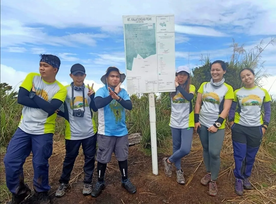
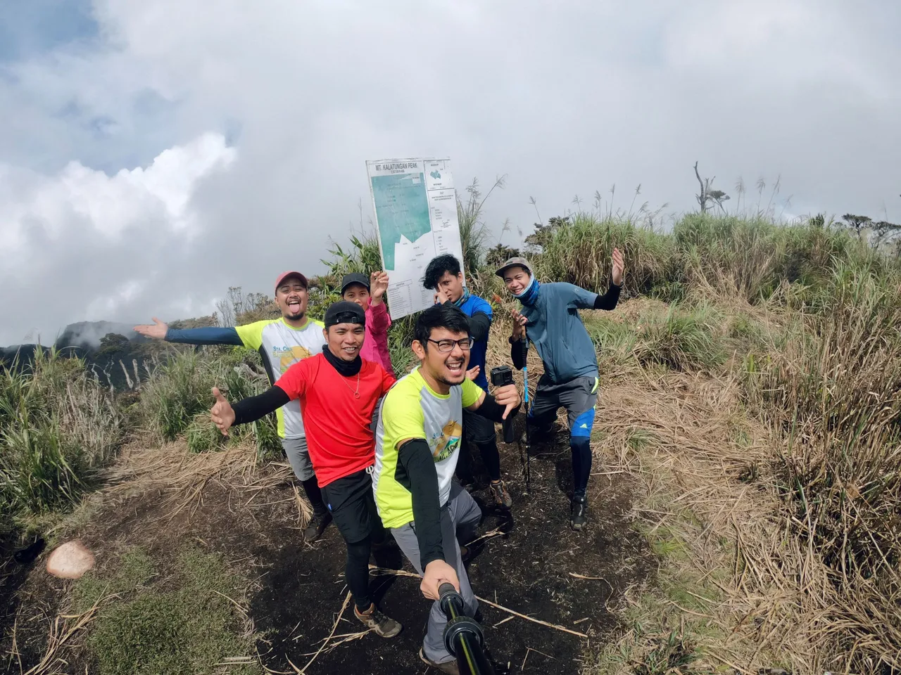
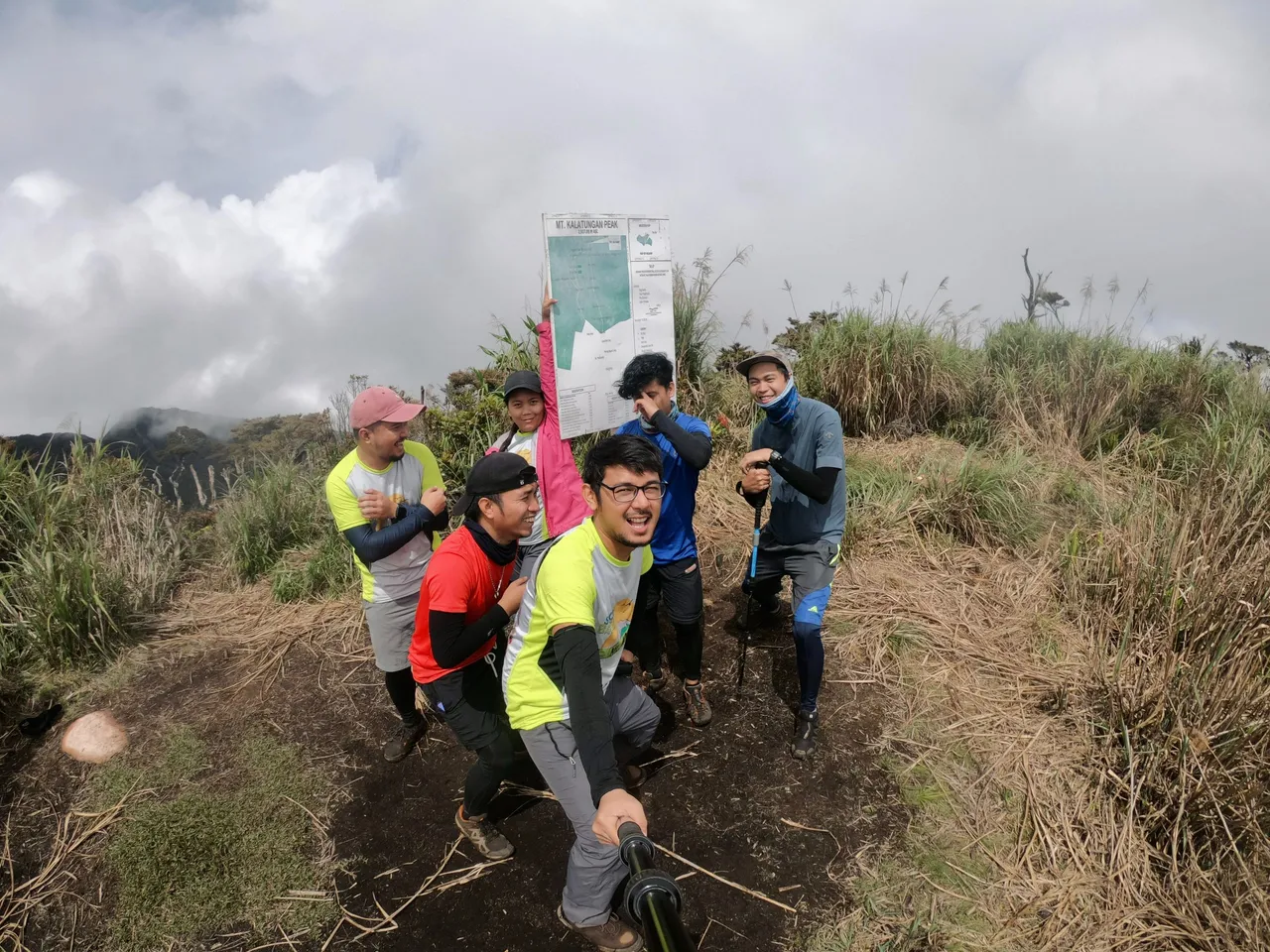
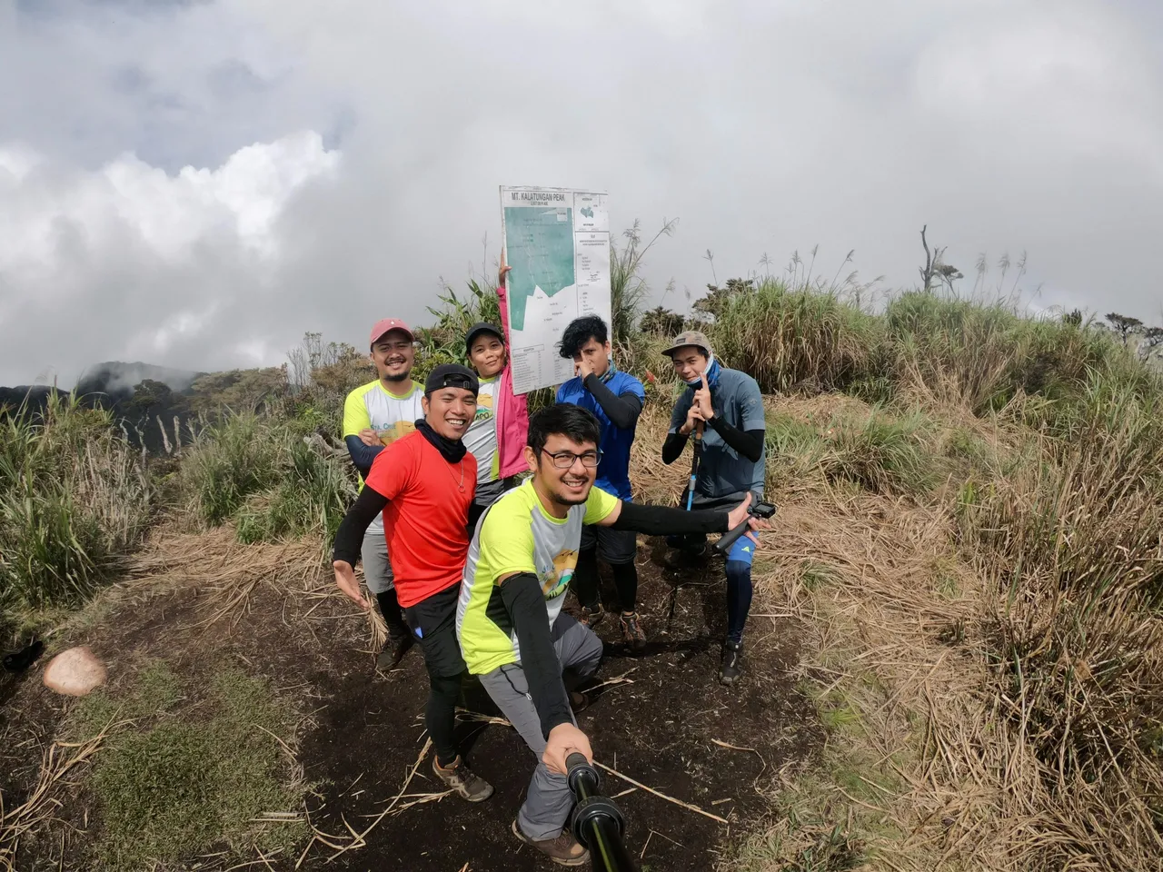
And I even hugged the pole in disbelief that I had made it to the top. LOL
Once we finished taking pictures, we headed back to the Junction Area. However, our journey wasn't over yet as we still had to descend several hundred meters to reach Sanggaya/Bamboo Camp. But that's a story for another time.