
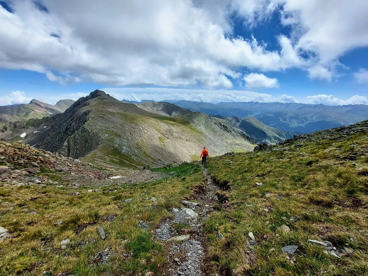
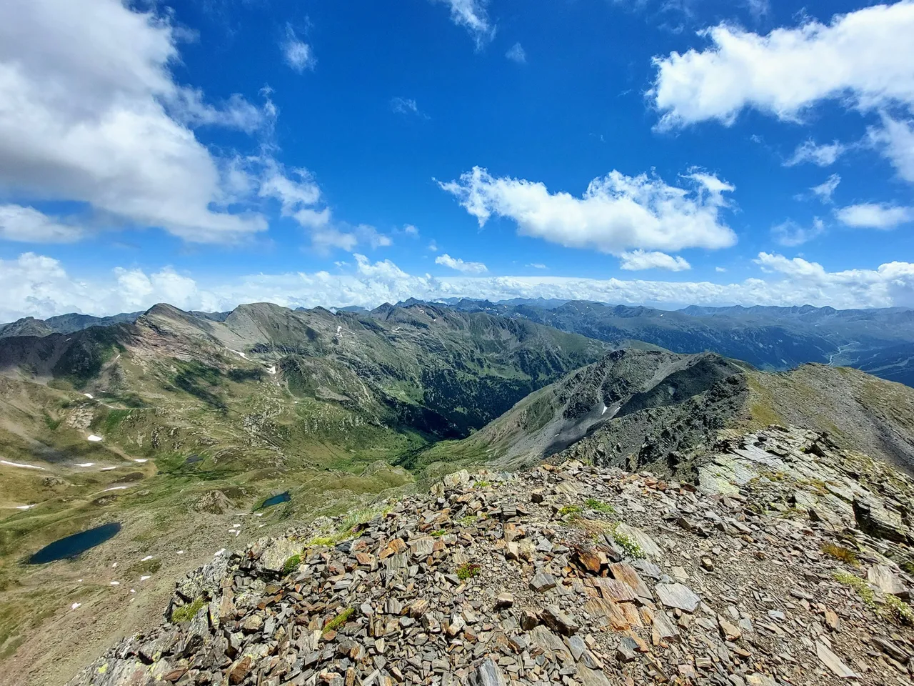
Here we are standing on top of Mount Estanyo looking out over the mountains towards our next destination for the day. Its an un-named peak followed by a ridge hike and mountain pass just below the peak of Mount Serrera.
Well, there's no sense standing around when we have so much further to go. Lets get to it.
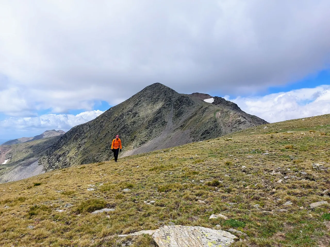
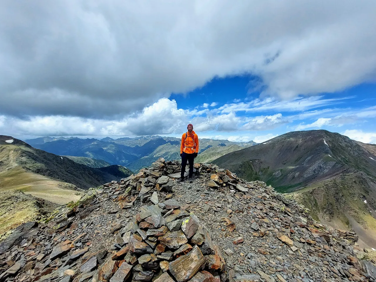
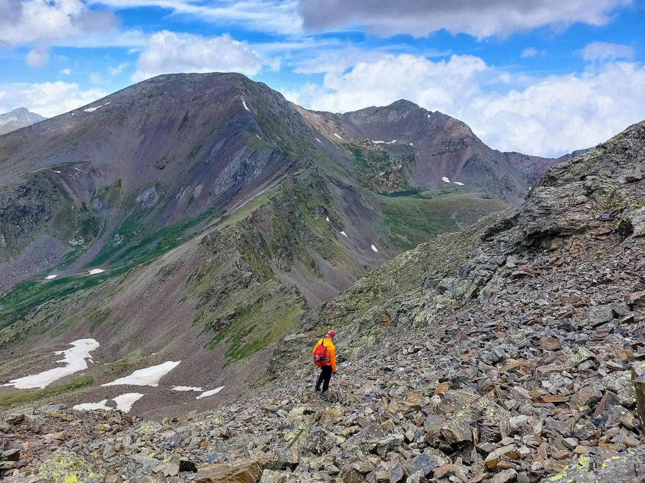
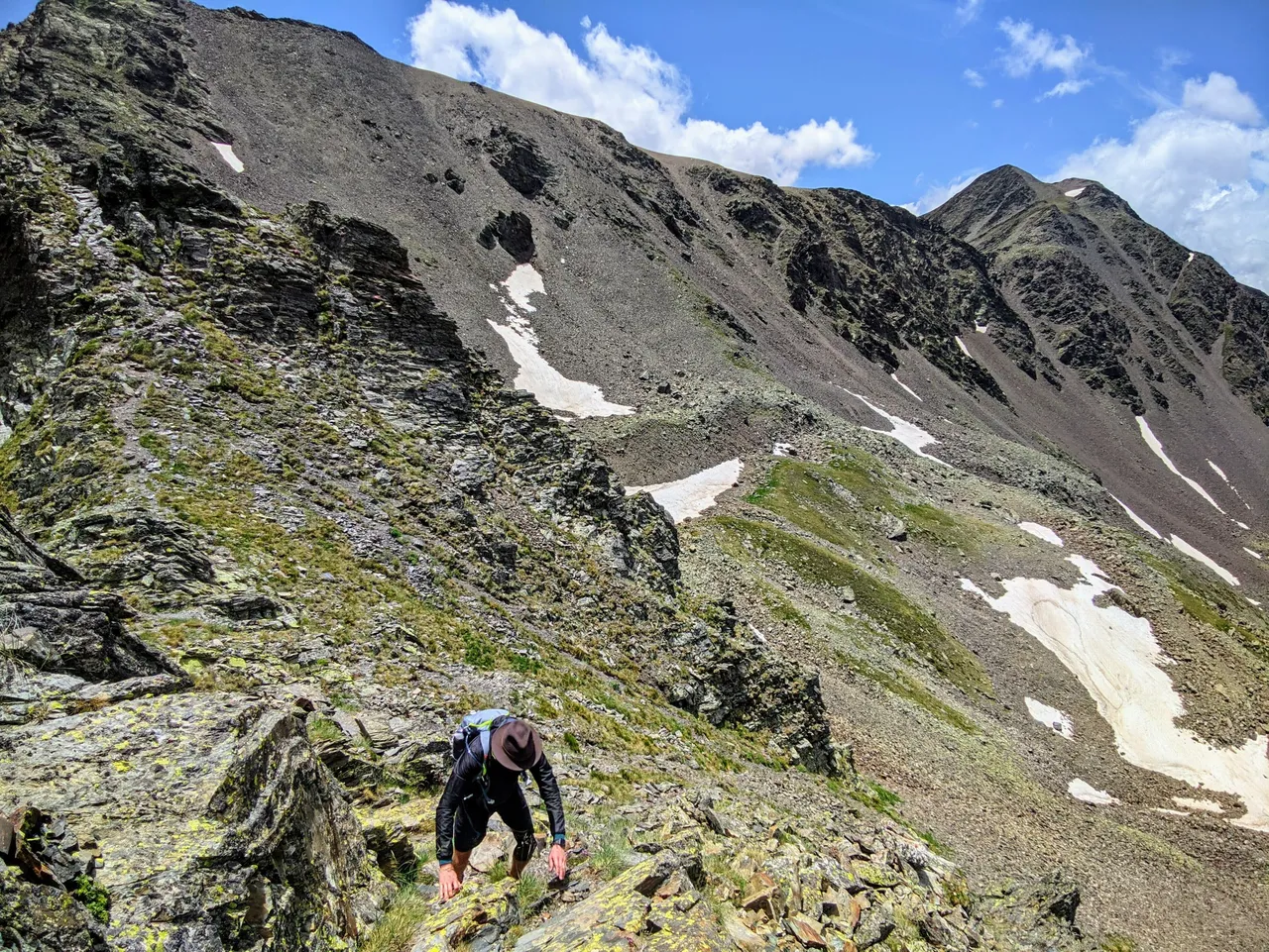
I couldn't find the name of the next mountain that we climbed but according to google maps its peak is at an elevation of approximately 2700m.
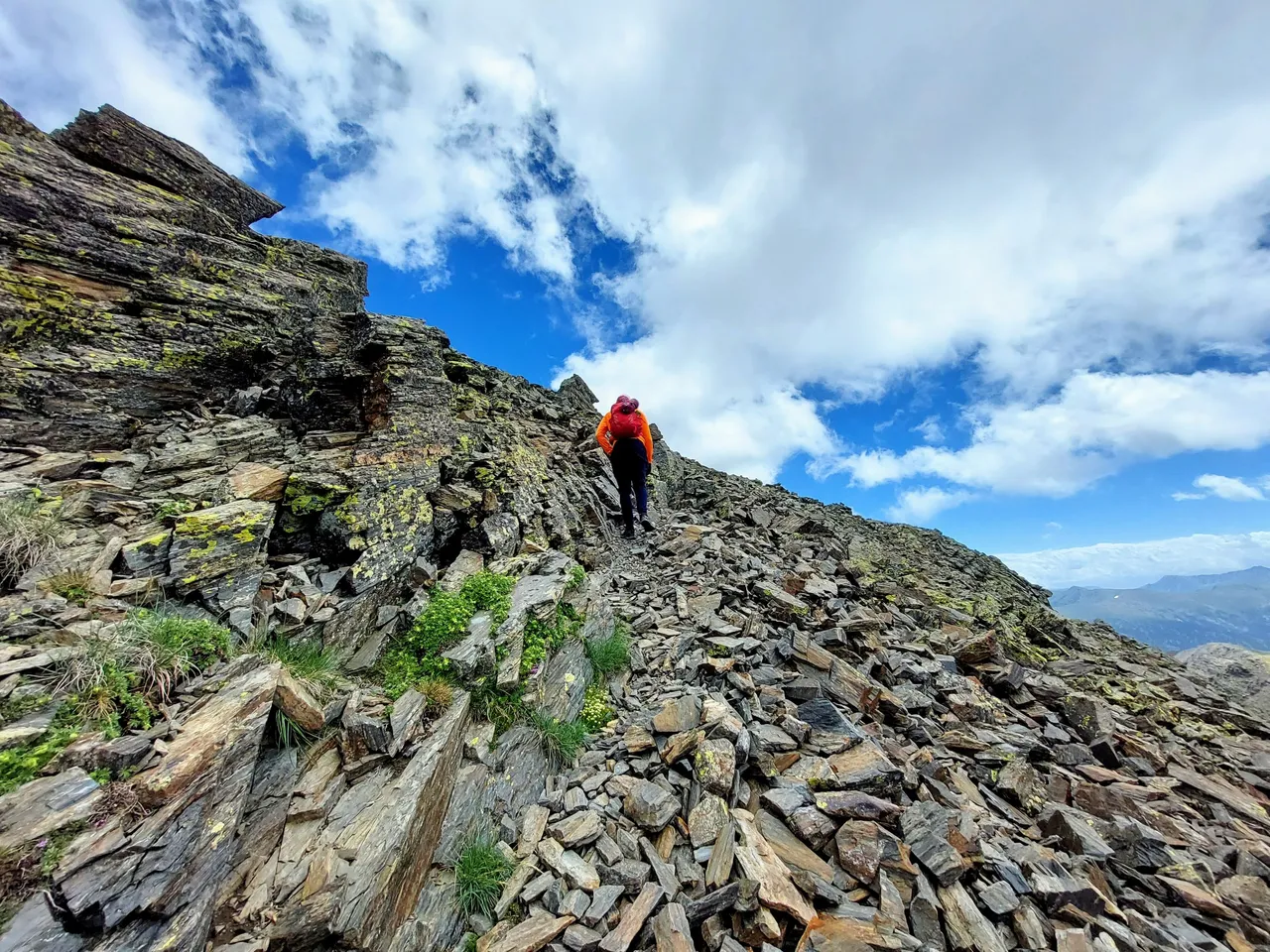
To get there we had to hike down from Estanyo, cross a very wide ridgeline and then hike back up a couple hundred meters to get to the peak.
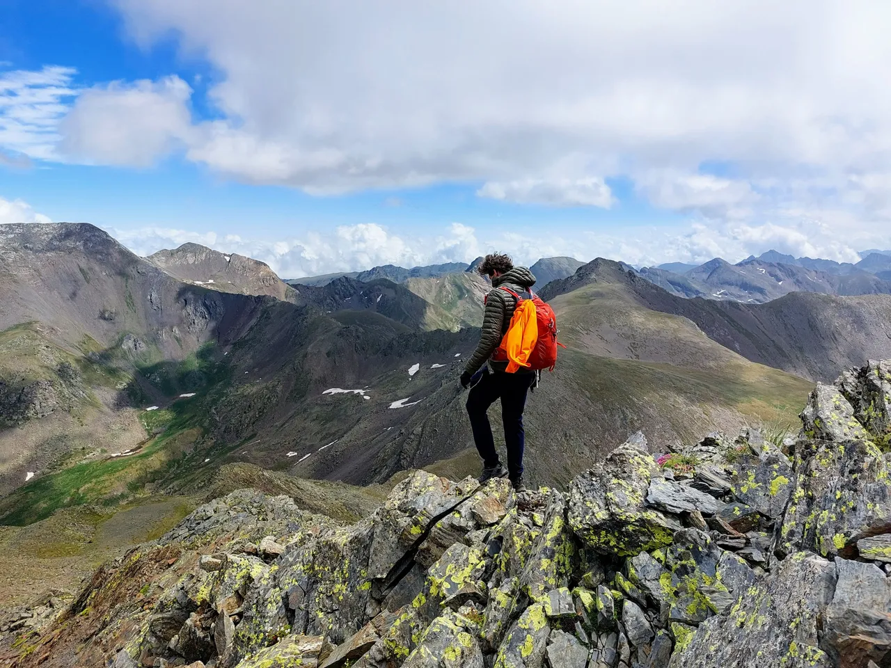
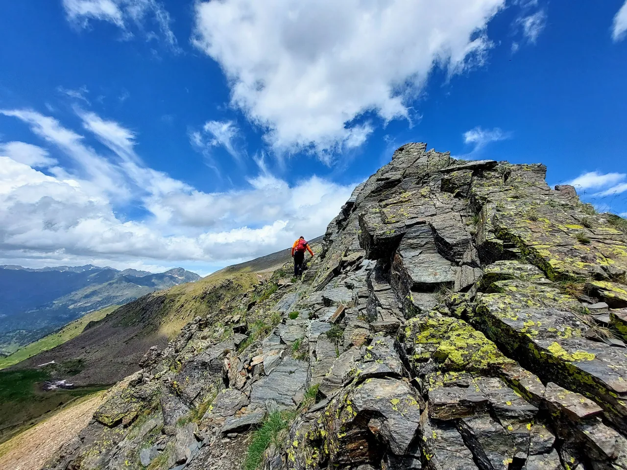
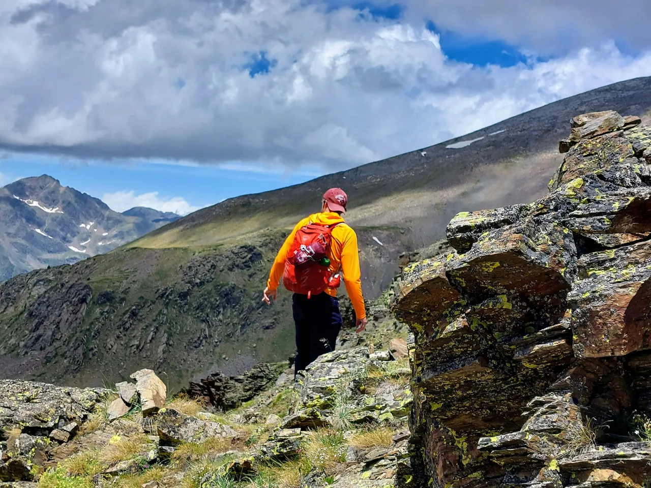
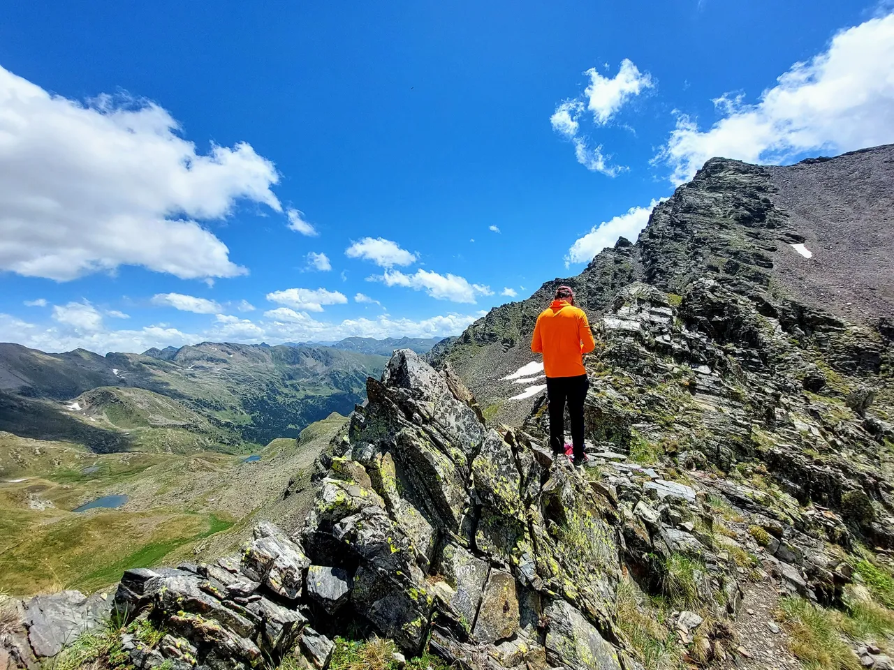
It was less windy and much warmer once we started so my friend took off his jacket and adorned his bright orange sweater.
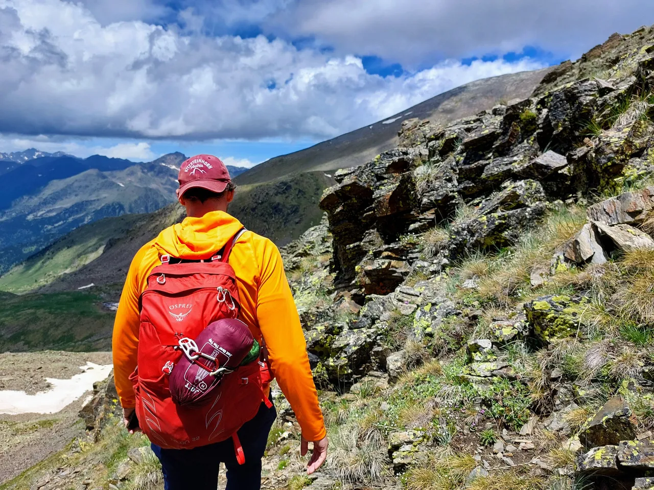
I've since realized that bright orange is a great color to wear when hiking in the mountains. I highly recommend it.
It really stands out in photos and pops nicely against a blue sky background. You'll see what I mean a little later.
My black coat and shorts had sort of the opposite effect. I tended to blend in with the scenery in the photos.
I somehow got ahead of my friend at one point.
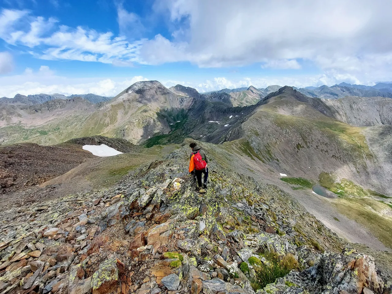
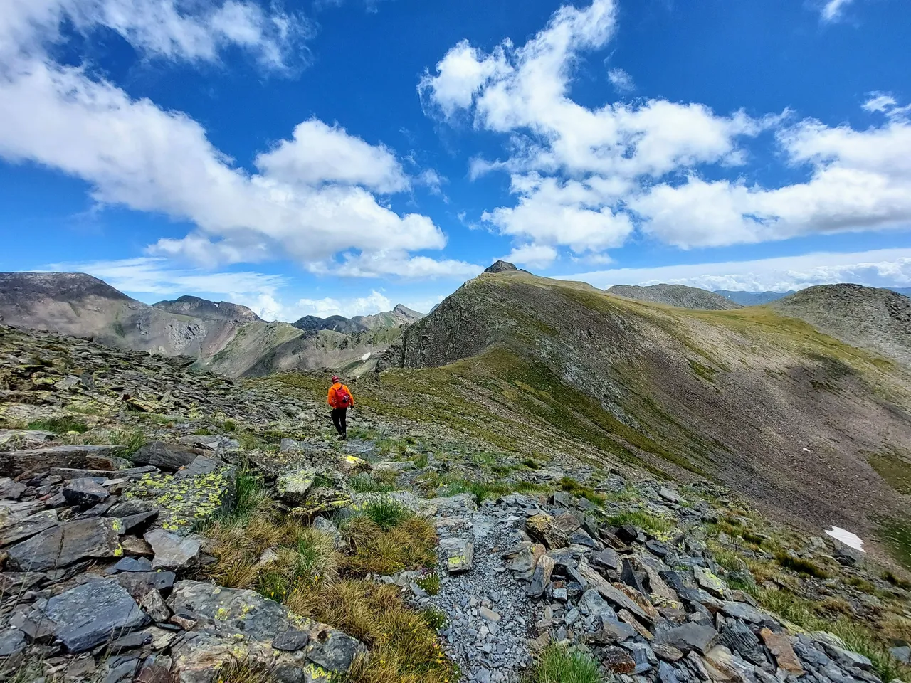
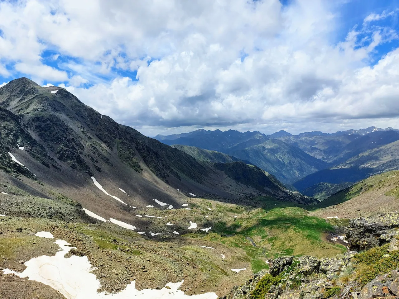
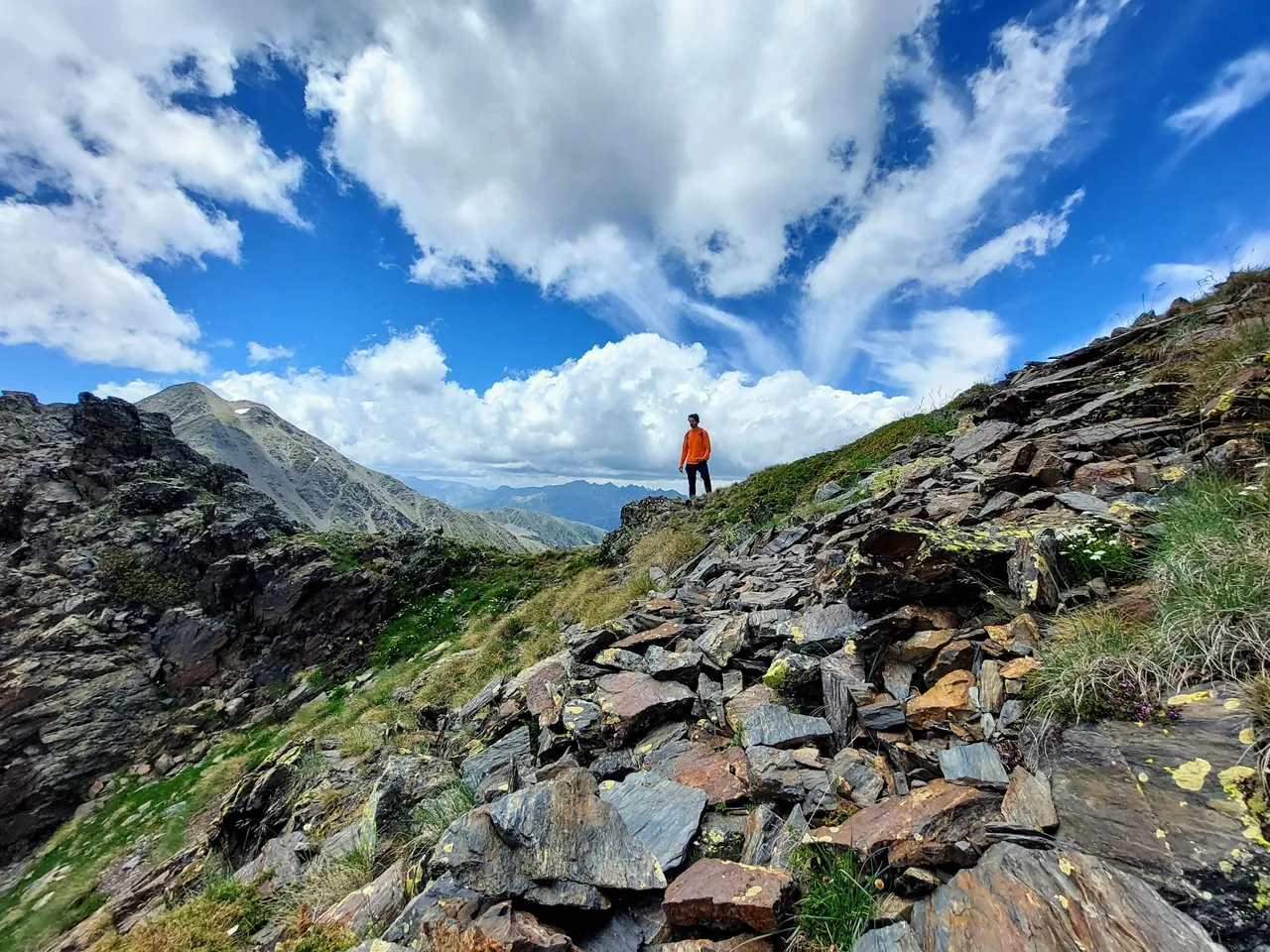
Here we are walking across that wide ridge I mentioned. You can see Peak Estanyo in the background in the photo above.
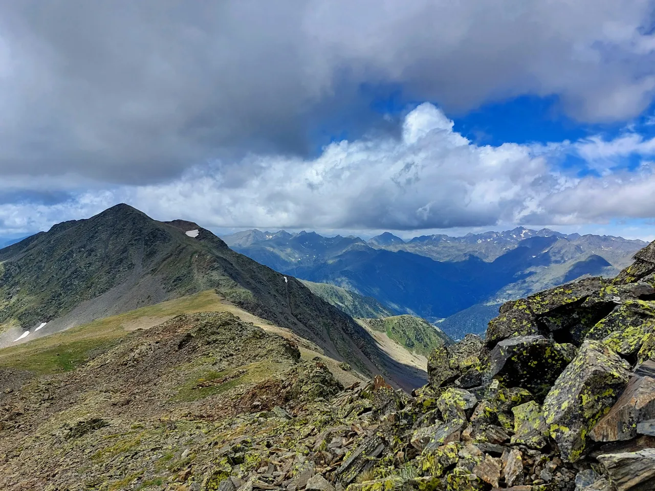
Here it is again (above) as seen from the base of our next, much smaller, peak climb.
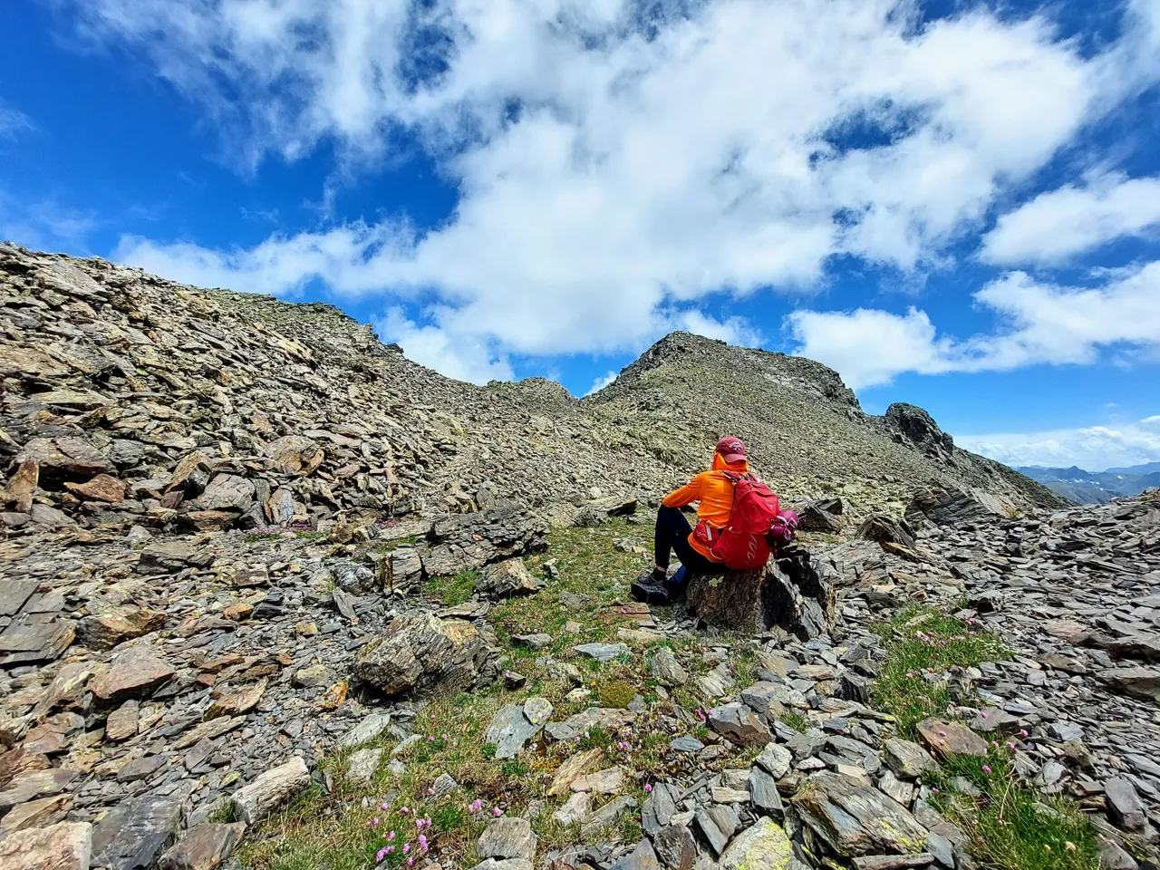
We took a short break here before climbing to the top.
We probably didn't need it. It wasn't a particularly long or difficult climb. But is did give me a chance to take another selfie with Mount Estanyo.
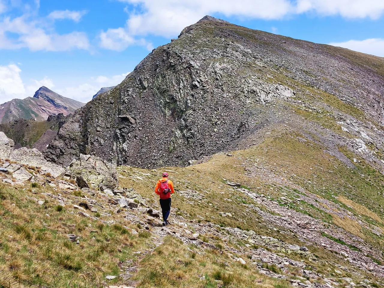
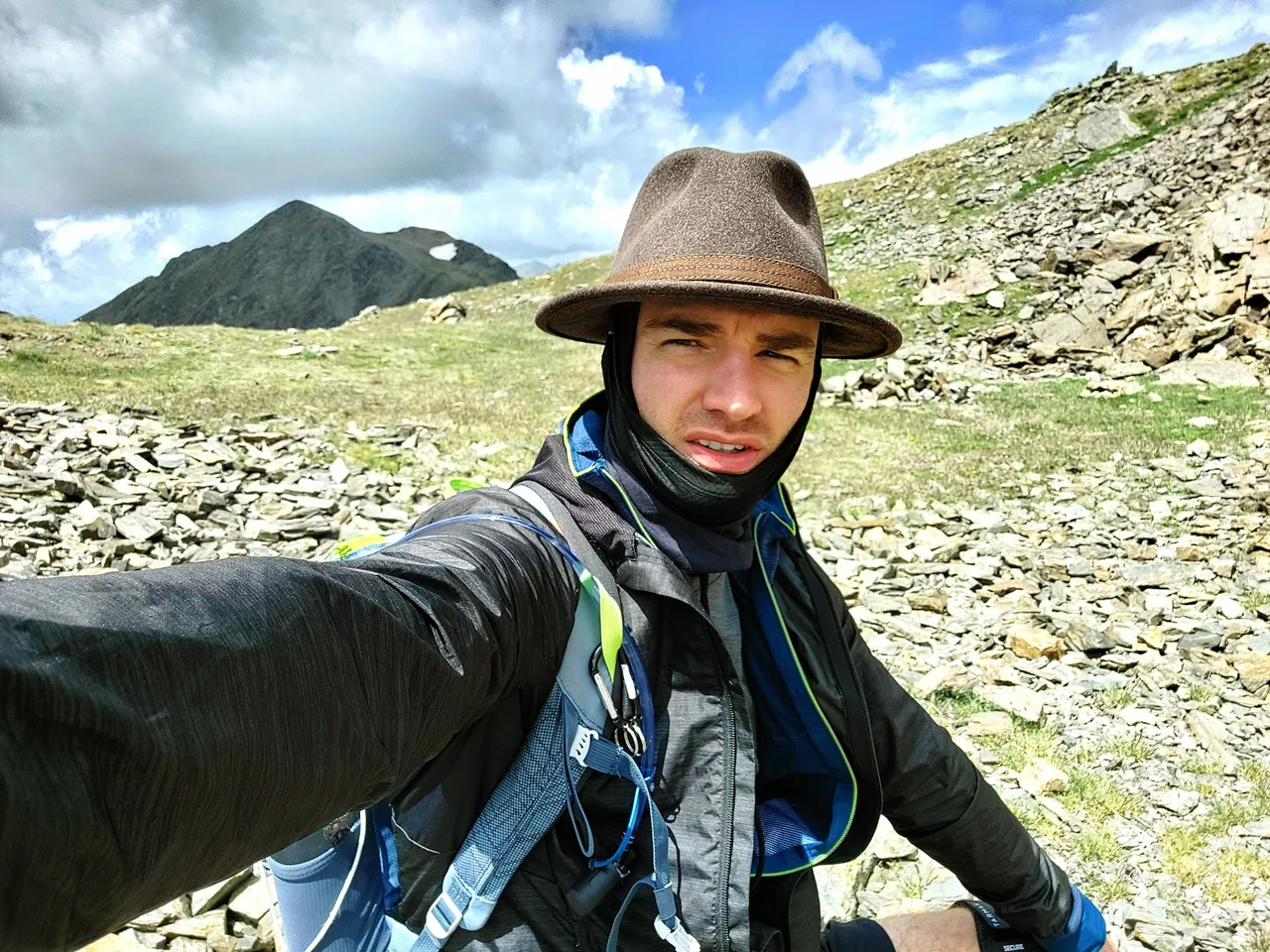
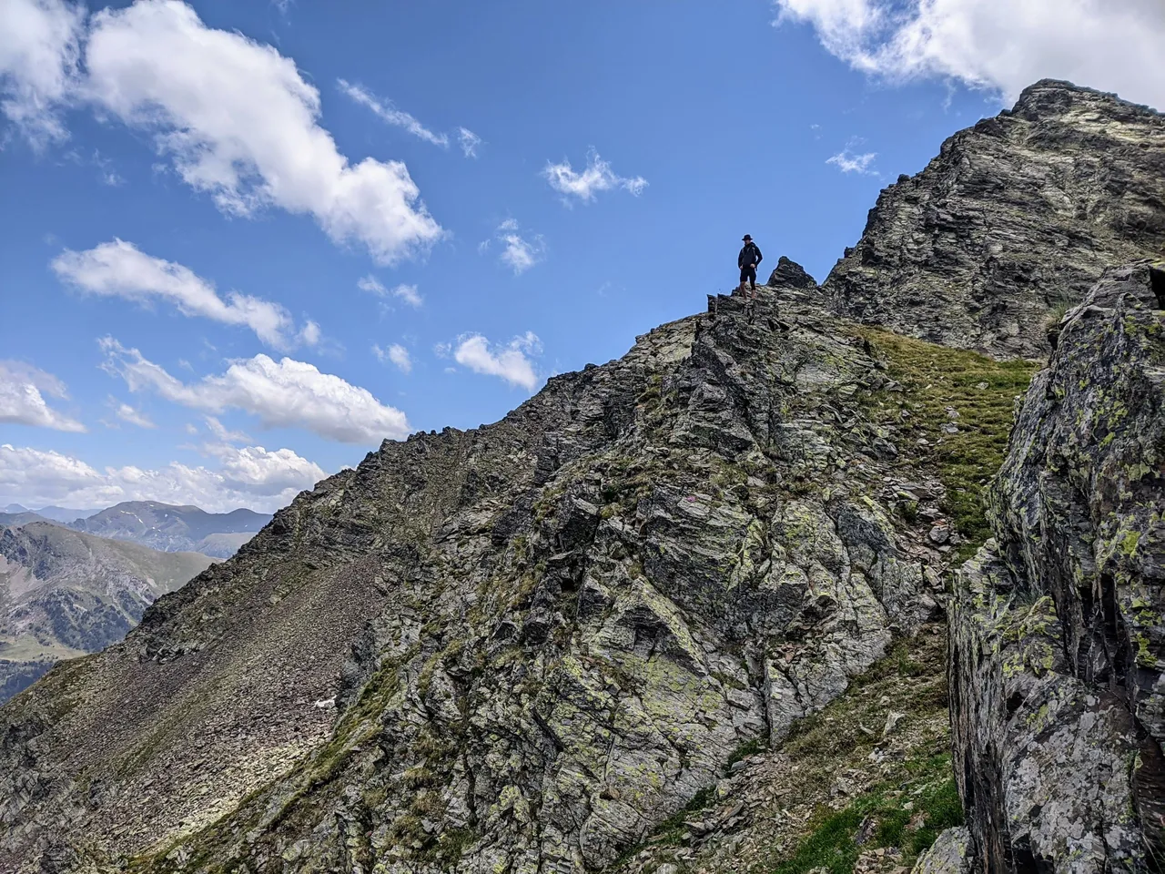
One last push and we made it to the top.
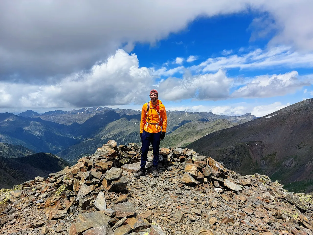
Try and tell me that orange isn't the best color for hiking in blue sky mountains.
I told him to point over to where we had just come from.
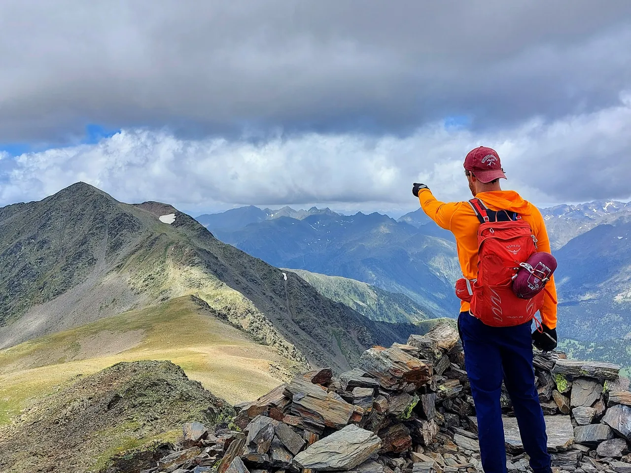
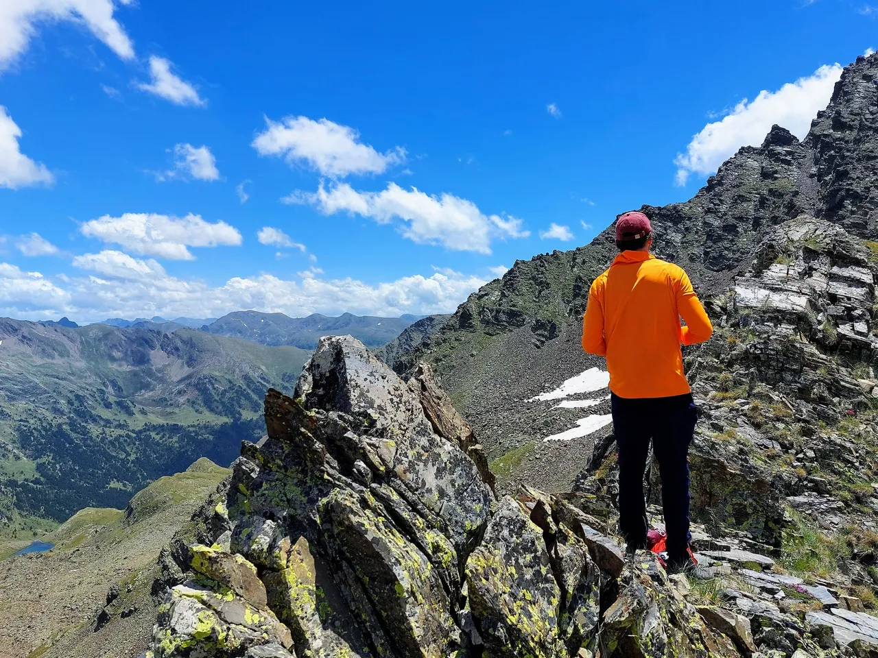
The view from this point was pretty incredible.
But then, it was pretty incredible everywhere that day, really.
The photo above was the view from the opposite side.

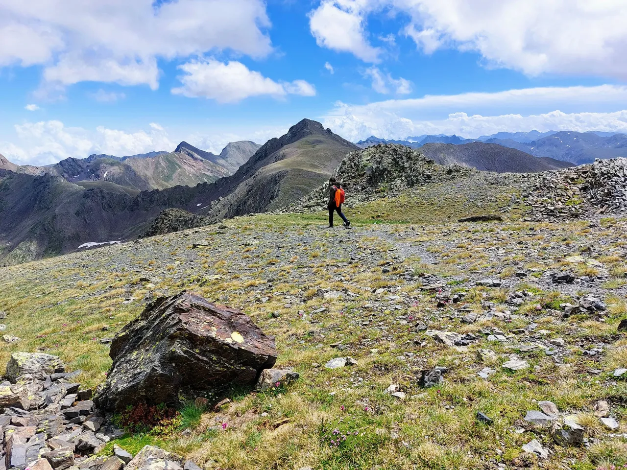
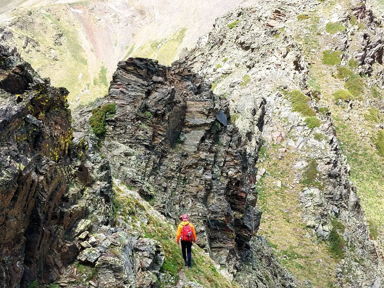
And we're moving on.
Heading down and around.
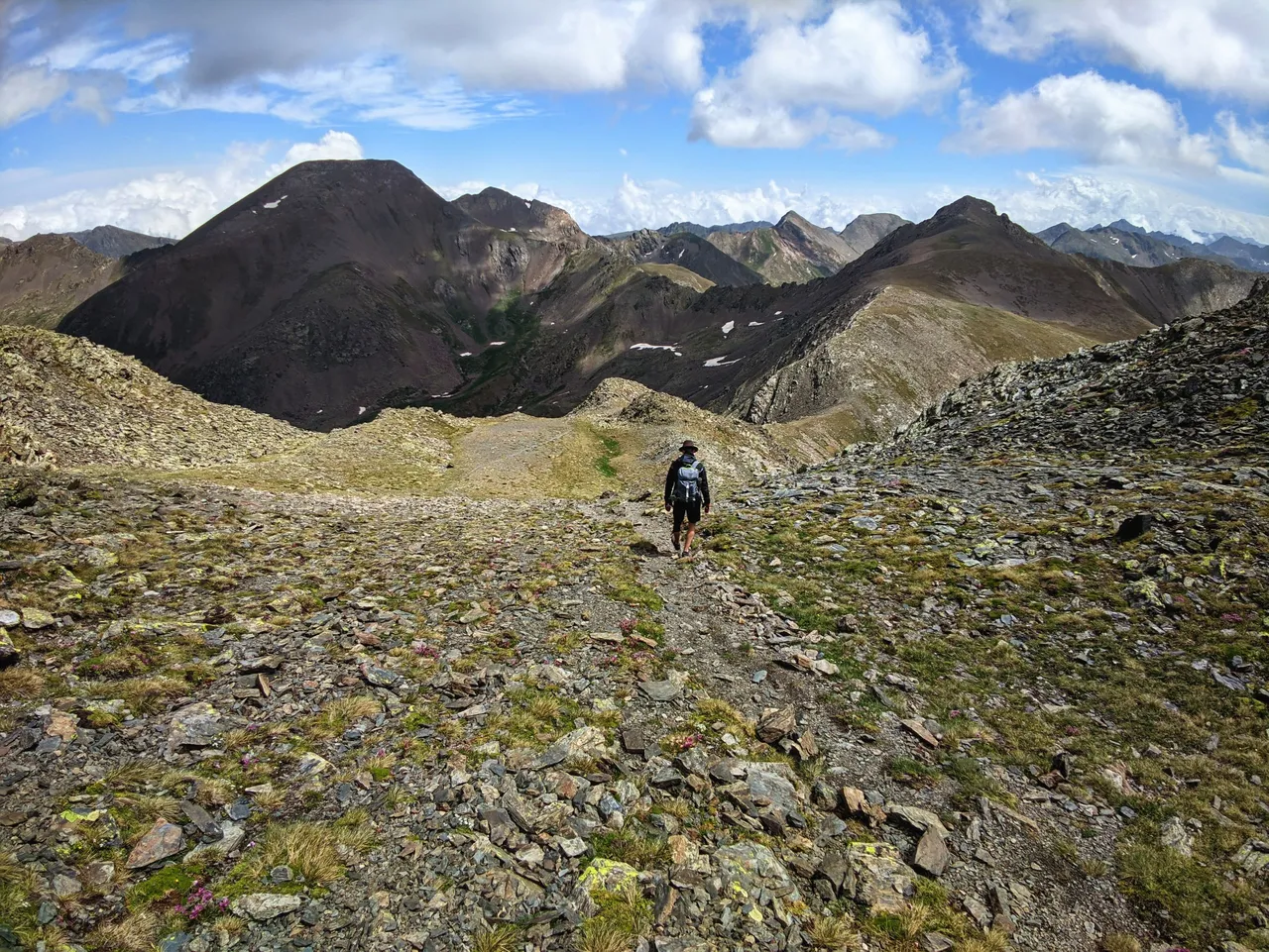
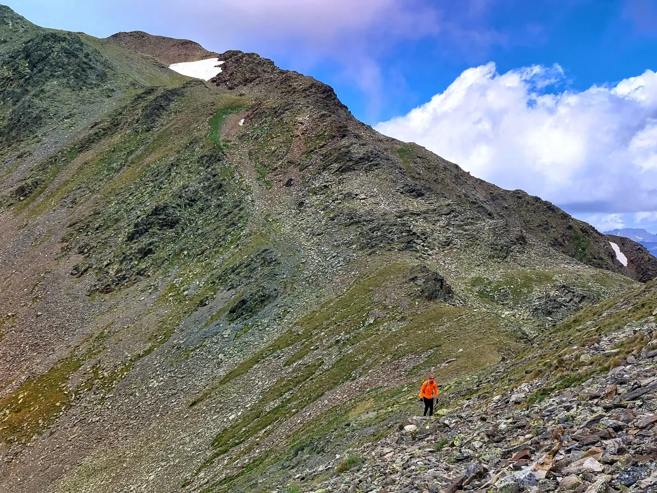
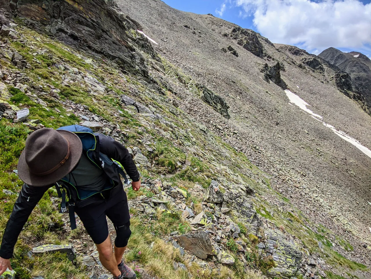
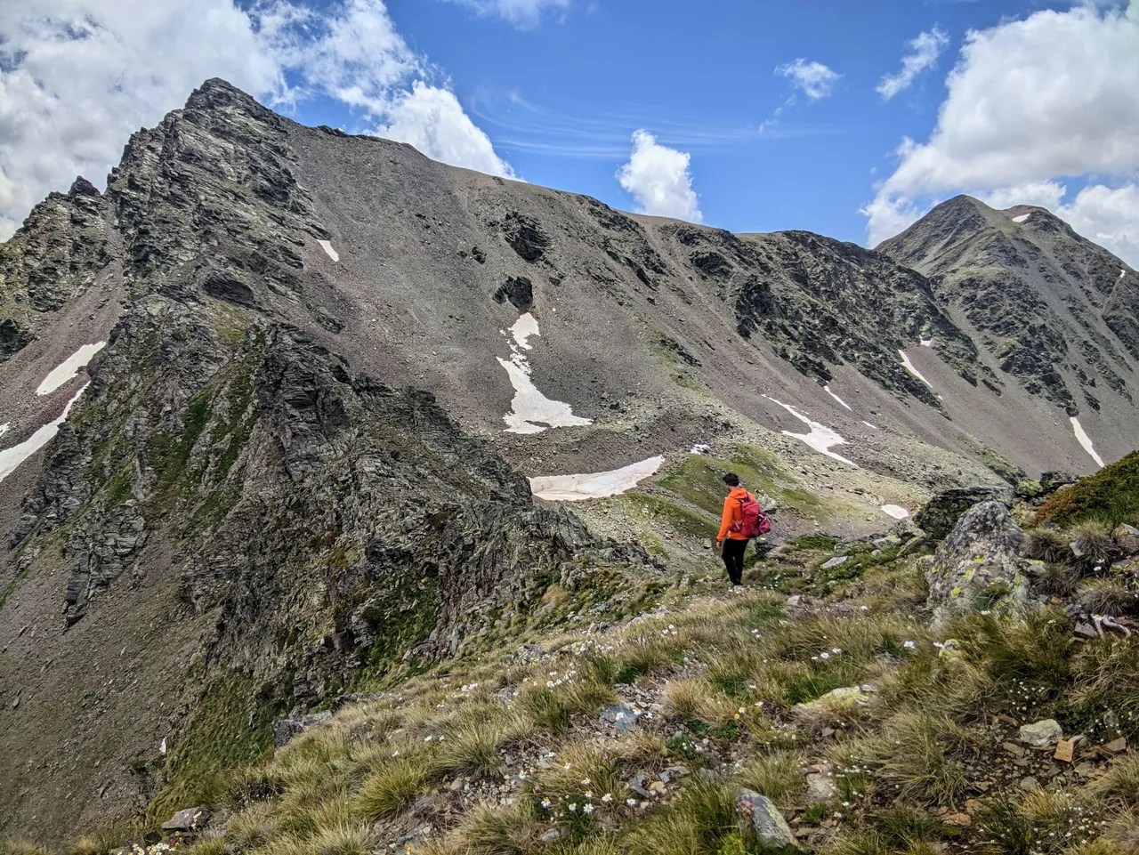
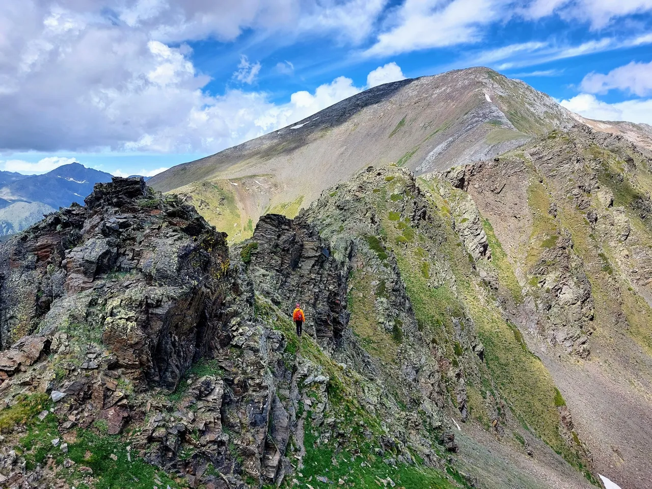
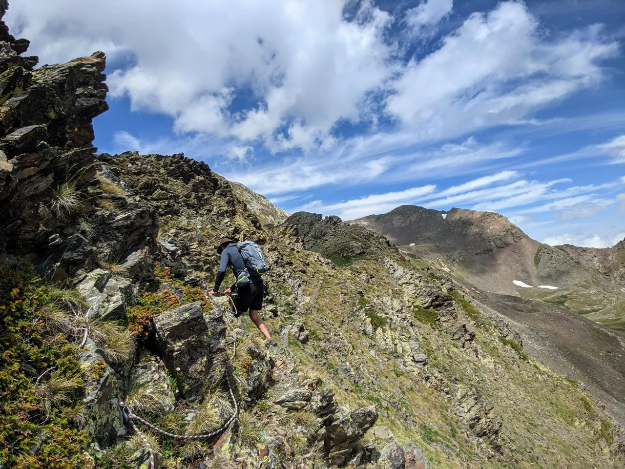
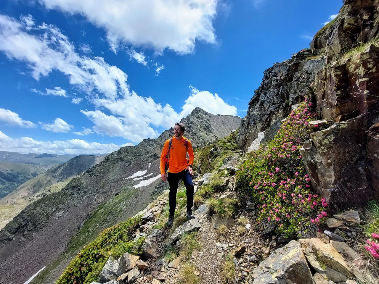
Here we are working our way over to a ridge between two mountains.

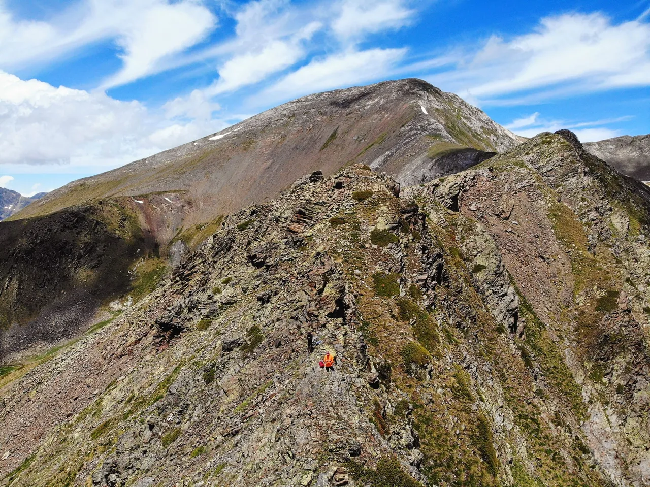
In the photo below you can see the ridge that I'm referring to along with Mount Serrera in the background.
The ridge doesn't look like much from this distance but it was actually a pretty serious hike in some places.
You will see what I mean as we get closer.
The hill here was very steep and the shale rock that you can see in the two photos above was deep and very loose. My feet were buried up to my ankles walking through it and it came down in a rock slide, pulling down larger and larger rocks as we made our way down the mountain. We had to split up a bit to avoid rocks tumbling into the other person.
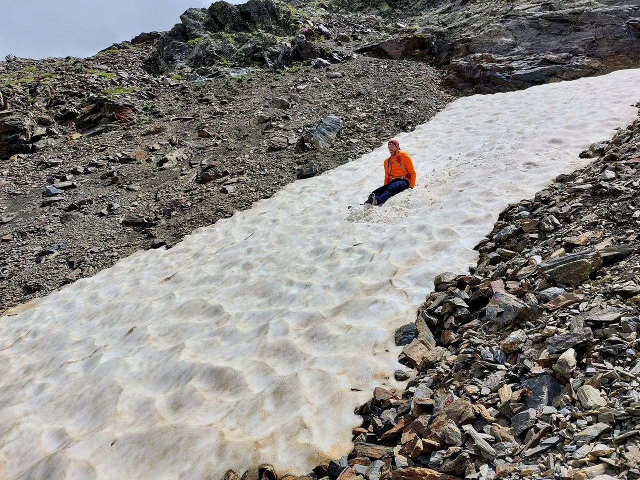
The rocks were ankle breakers in some cases, but we made it out of there without any issues. We had some fun along the way as well.
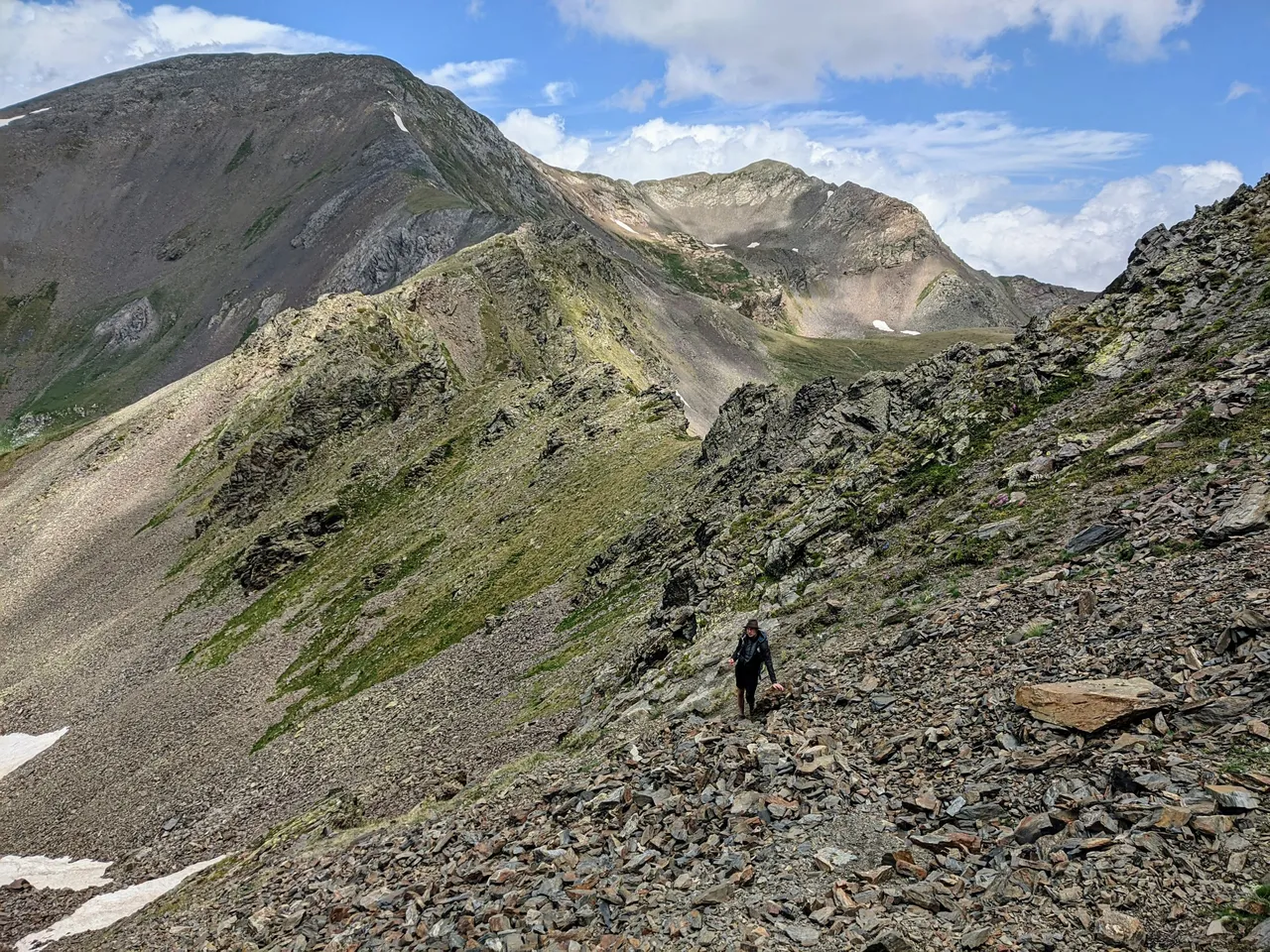
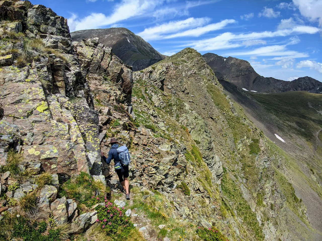
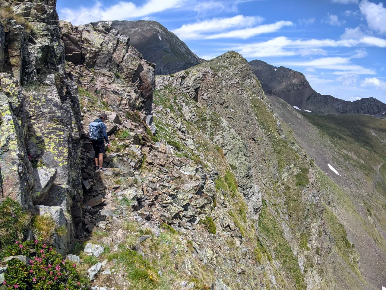
We are getting into the ridge line now.
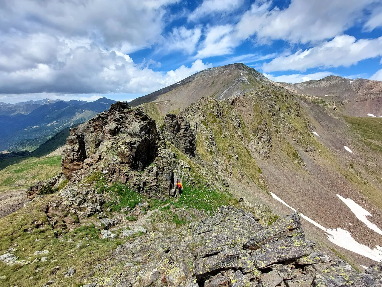
From far away the rocks don't look like much.
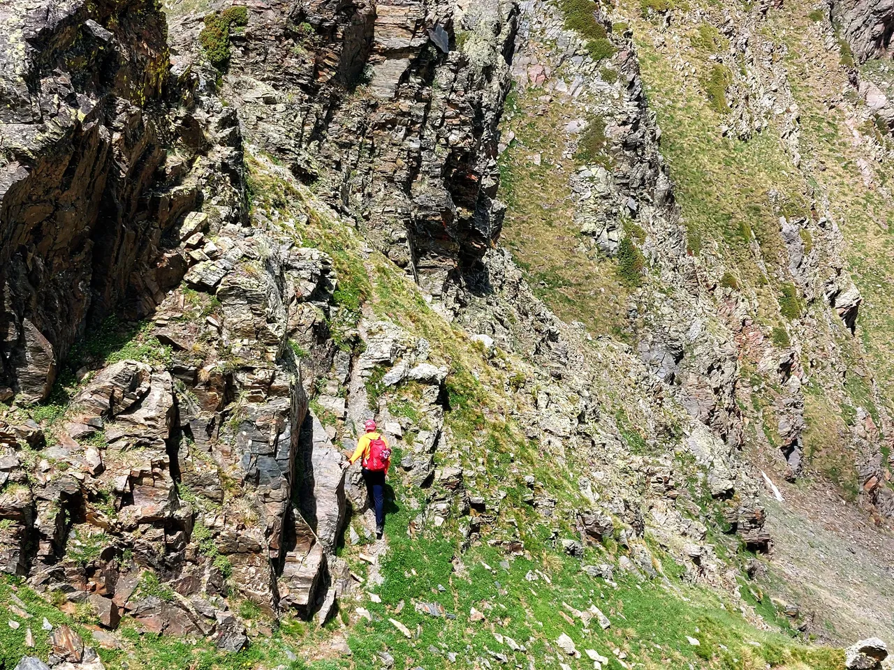
But as you get closer you can see that they are much larger than they had appeared previously.
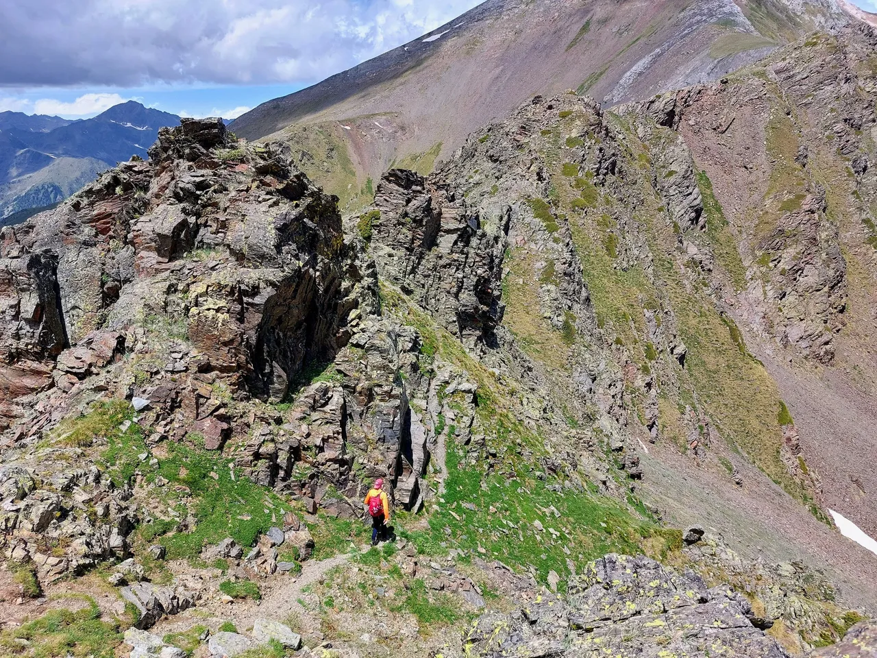
The path was quite steep and a little precarious in some places.
There was a moment or two when I felt a little scared.
Just for a moment.
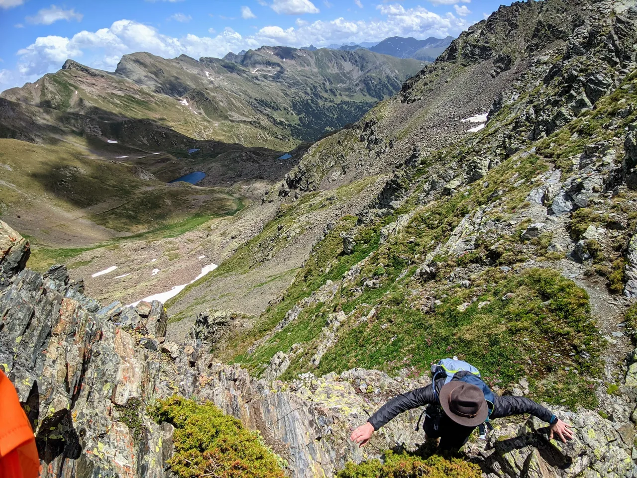
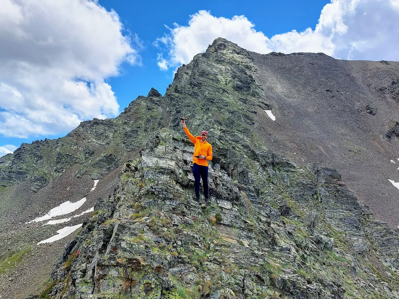
Me contemplating on whether or not I would survive a fall from here.
There was actually some mild climbing involved, which I was a little surprised by.
Looks like a good place to pull out the drone again.
Drone image below.
You can't see me in the photo but my friends orange sweater came through for us again.
It was somewhere around here, immediately after messing with the drone, that my friend lost his hat for the second time during our trip.
A gust of wind blew it off his head and sent it tumbling down the mountain.
It was the second time that I said out loud "Well that's the end of that I guess," only to be proven wrong by him climbing down and retrieving it. It took him a little longer this time and this spot was way more dangerous then the previous location, but he was insistent on getting it back and in the end he managed to do so.

He kept it in his backpack for the remainder of our time on the ridge though.
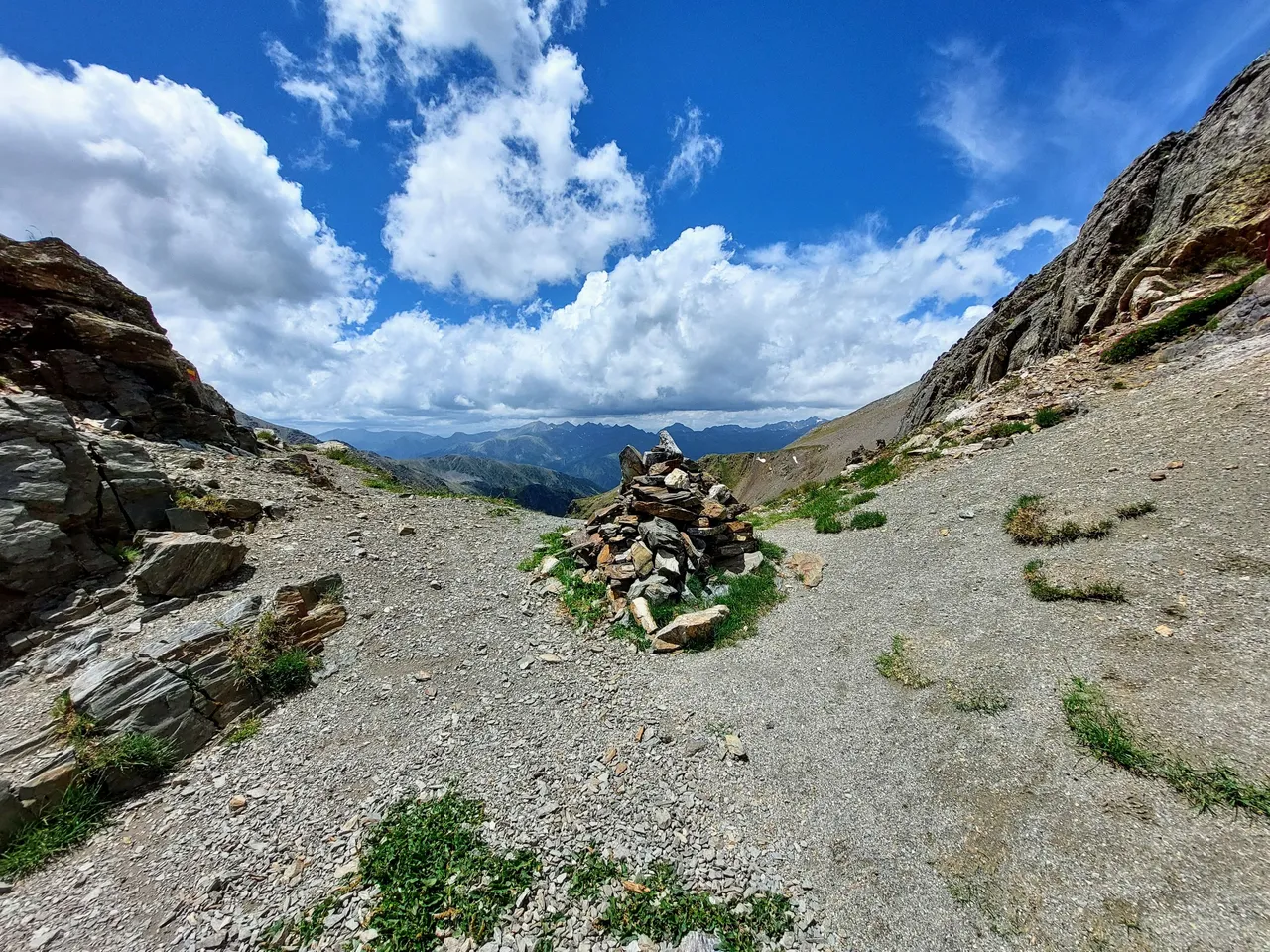
We reached the pass just under Mount Serrera shortly after that.
I'm just guessing here but I'd say that this section of our hike probably took us around two hours to complete. It wasn't overly difficult, but it was probably the most technical spot that we experienced over the course of our three days on the mountain.