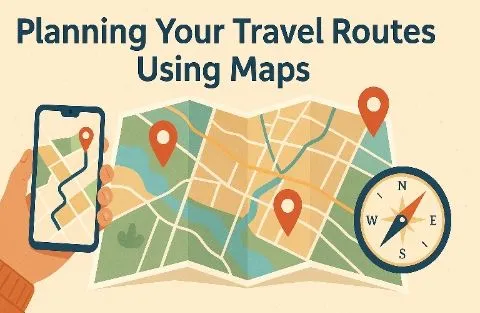
Planning a trip can be exciting, but also a bit confusing. One thing that always helps me is using maps. Whether I’m going to a nearby city or a different country, maps make travel easier and more fun.
First, I open a digital map app like Google Maps or Maps.me. I look at the main places I want to visit—famous landmarks, restaurants, or even hidden gems I read about online. I save each place as a "star" or pin it so I can see them all in one view.
Next, I check how far each place is from the others. If they are close together, I can walk. If not, I plan my route using public transport or by renting a bike or car. I try to group nearby spots for each day so I don’t waste time going back and forth.
I also look at the map to see if there are parks, rivers, or viewpoints along the way. Sometimes, the best part of the trip is what you find between the main sights.
Offline maps are a great help too. I always download the city or area before I travel, just in case there’s no internet.
Planning with maps helps me feel more relaxed and confident while traveling. I don’t follow my plan exactly, but it’s a great guide. And sometimes, I find new places just by zooming in and exploring the map like a game.
So, before your next trip, try using a map to plan your route. It saves time, helps you discover more, and makes travel a lot smoother.