Hello everyone, I'm here with another continuation of my travels in the footsteps of Jan Hus from Prague to Constance. In today's episode, we will visit several historical places. And I will slowly move from the Fränkiche Alb region to the Schwäbische Alb region. So let's hit the road.
Ahoj všichni, jsem tu s dalším pokračováním z mých cest po stopách Jana Husa z Prahy do Kostnice. V dnešním díle navštívíme hned několik historických míst. A pomalu se přesuneme z oblasti Fränkiche Alb do oblasti Schwäbische Alb. Pojďme tedy na cestu.
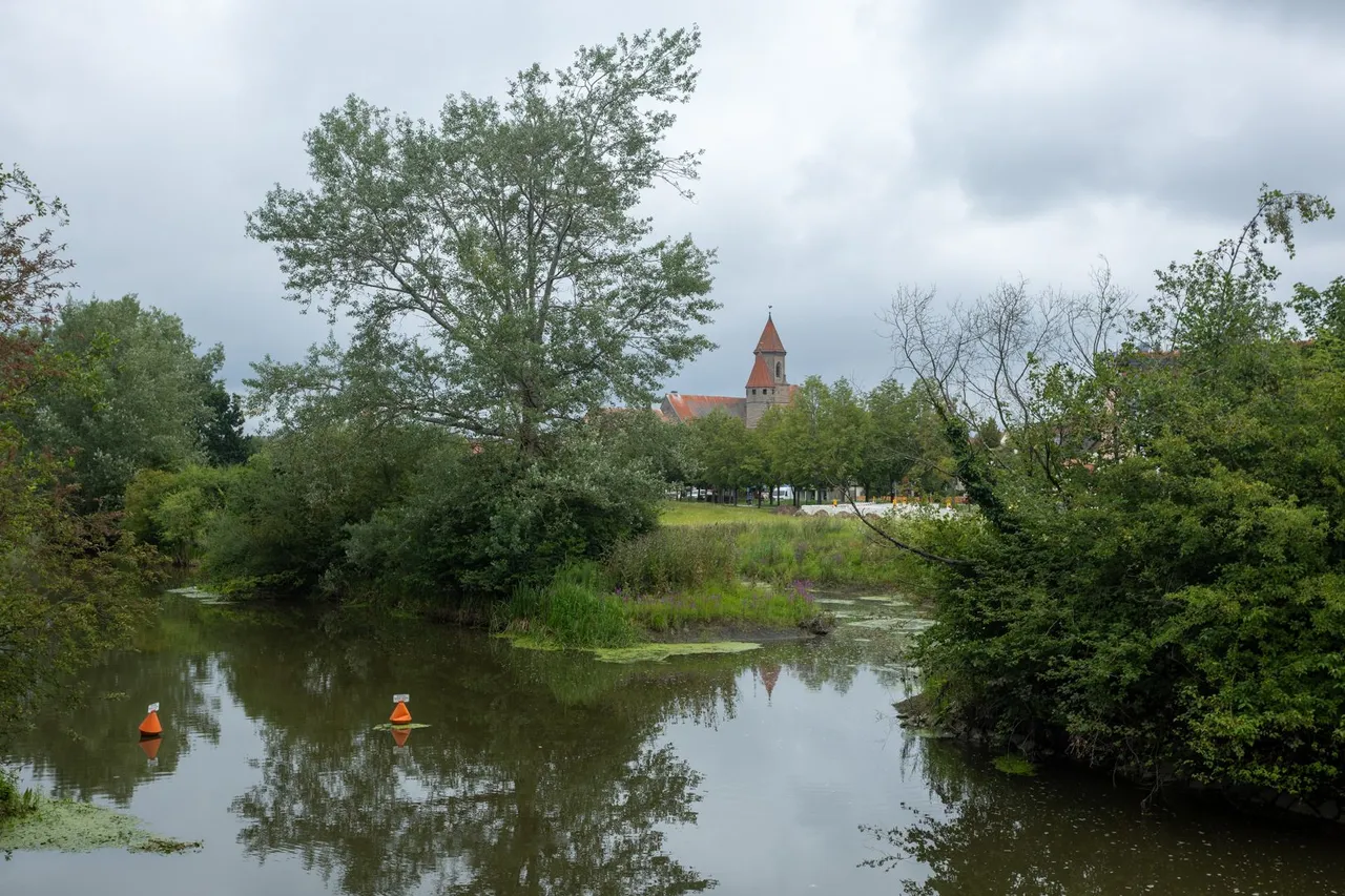
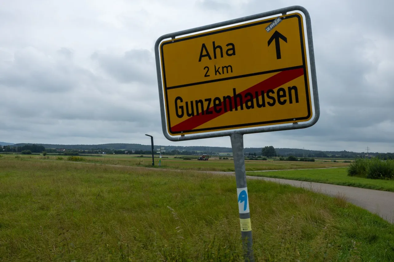
It rained several times during the night so I was glad to have built a shelter. In the morning I woke up a few hours after sunrise because the raindrops kept drumming on the tarp. I packed up and put my breakfast on hold again so I wouldn't be eaten alive by hungry mosquitoes. And I set out on the road towards Gunzehausen, where I originally wanted to go the day before. Once again, an obstacle in the form of a construction stood in my way.This time it was about repairing the railway crossing, so I had to illegally cross the tracks few hundred meters further.
Během noci několikrát pršelo a tak jsem byl rád, že jsem si postavil přístřešek. Ráno jsem se vzbudil pár hodin po východu slunce, protože kapky z dešťů neustále bubnovaly na plachtu. Zabalil jsem se a snídani jsem opět odložil, abych nebyl sežrán zaživa hladovými komáry. A vydal jsem se po silnici směr Gunzehausen kam jsem chtěl původně dojít předchozí den. Opět se mi do cesty postavila překážka v podobě stavby. Tentokráte železničního přejezdu a tak jsem musel ilegálně překročit koleje o pár stovek metrů dále.
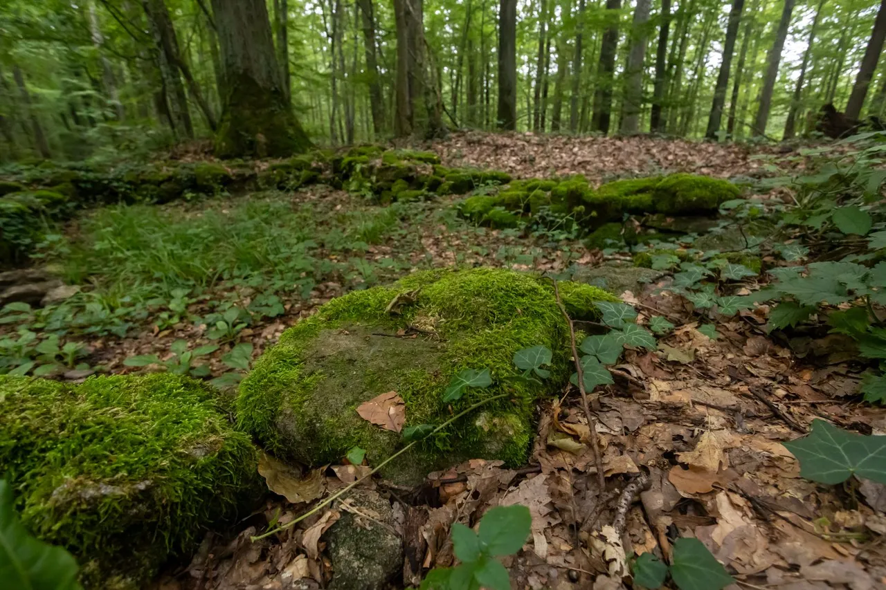
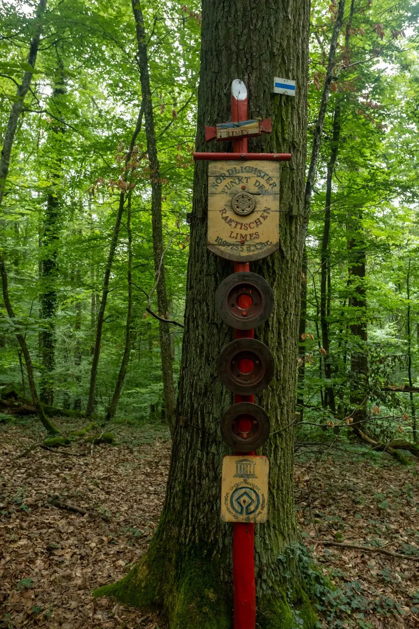
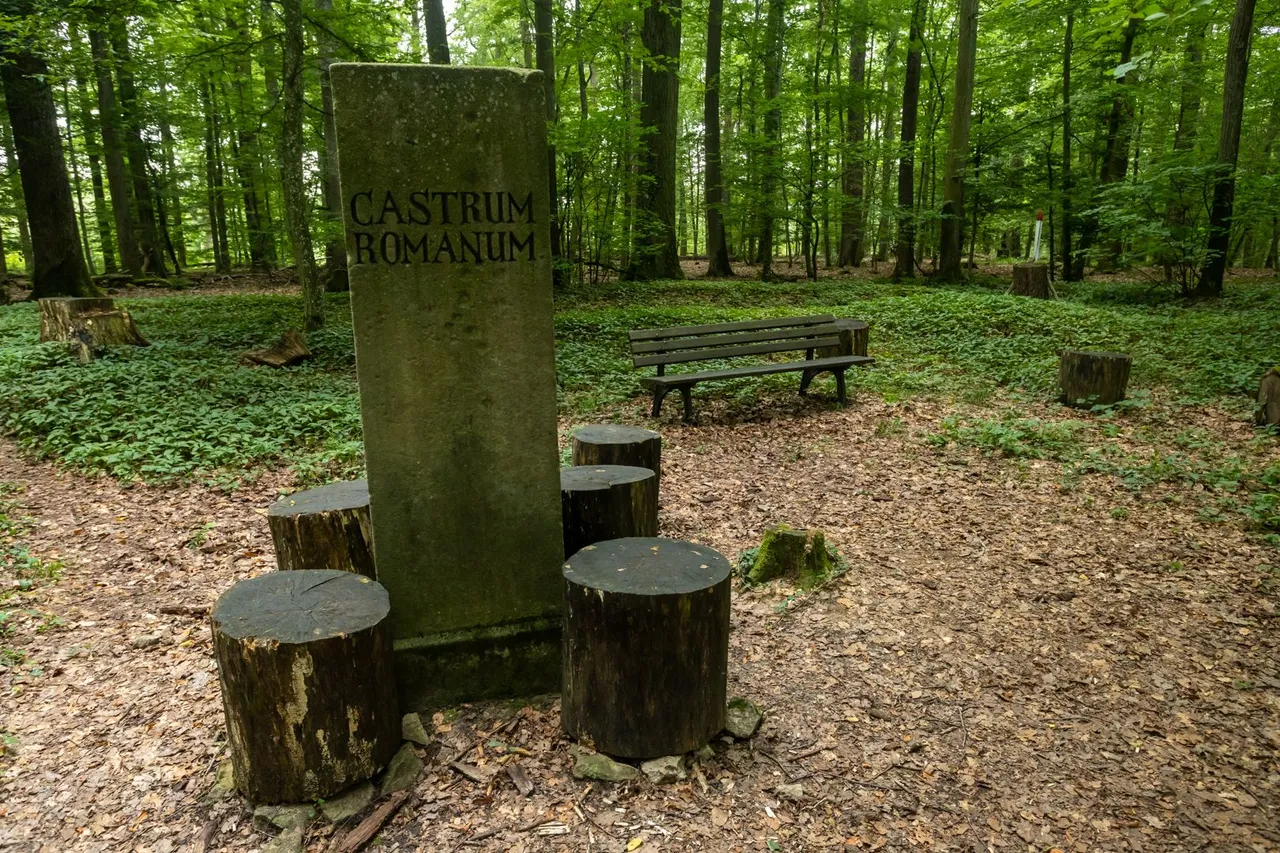
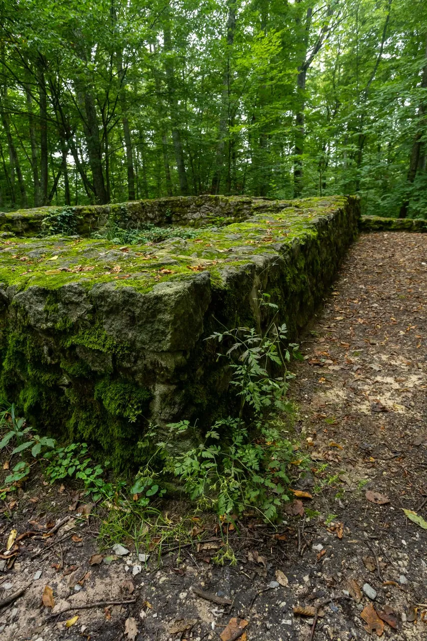
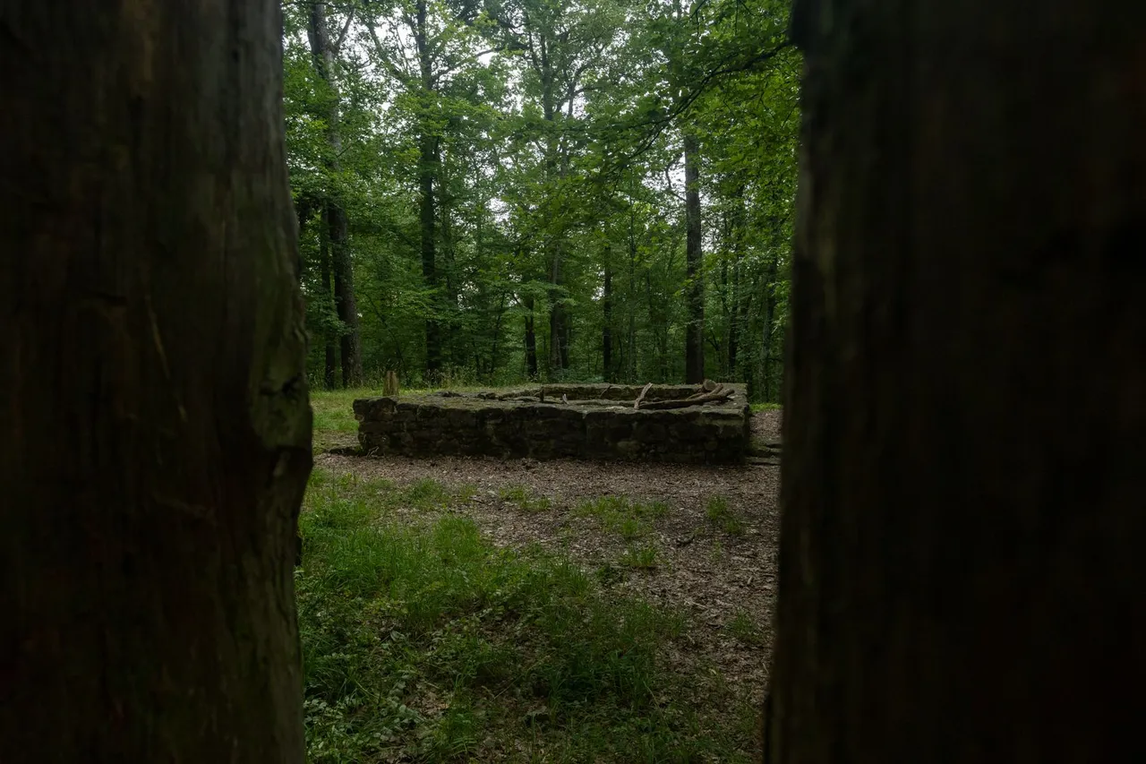
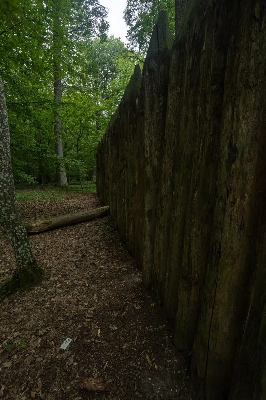
But before I reached Gunzehausen. I still had a visit to the northernmost Roman defense line, Limes, on the territory of continental Europe. On the ridge above Gunzehausen are the remains of the foundations of several defensive towers and a small fortress.
Ale než jsem dorazil do Gunzehausenu. Čekala mě ještě návštěva nejsevernější Římské obrané linie Limes na území kontinentální Evropy. Na hřebenu nad Gunzehausenem jsou pozůstatky základů několika obraných věží a malé pevnosti.

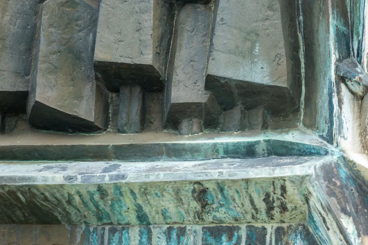
There is also a monument to Otto von Bismarck at the highest point of the ridge. I don't know why, but he looks pretty sad in the picture.
Na nejvyšším bodě hřebenu je i památník Otto von Bismarcka. Nevím proč, ale na vyobrazení vypadá dost smutně.
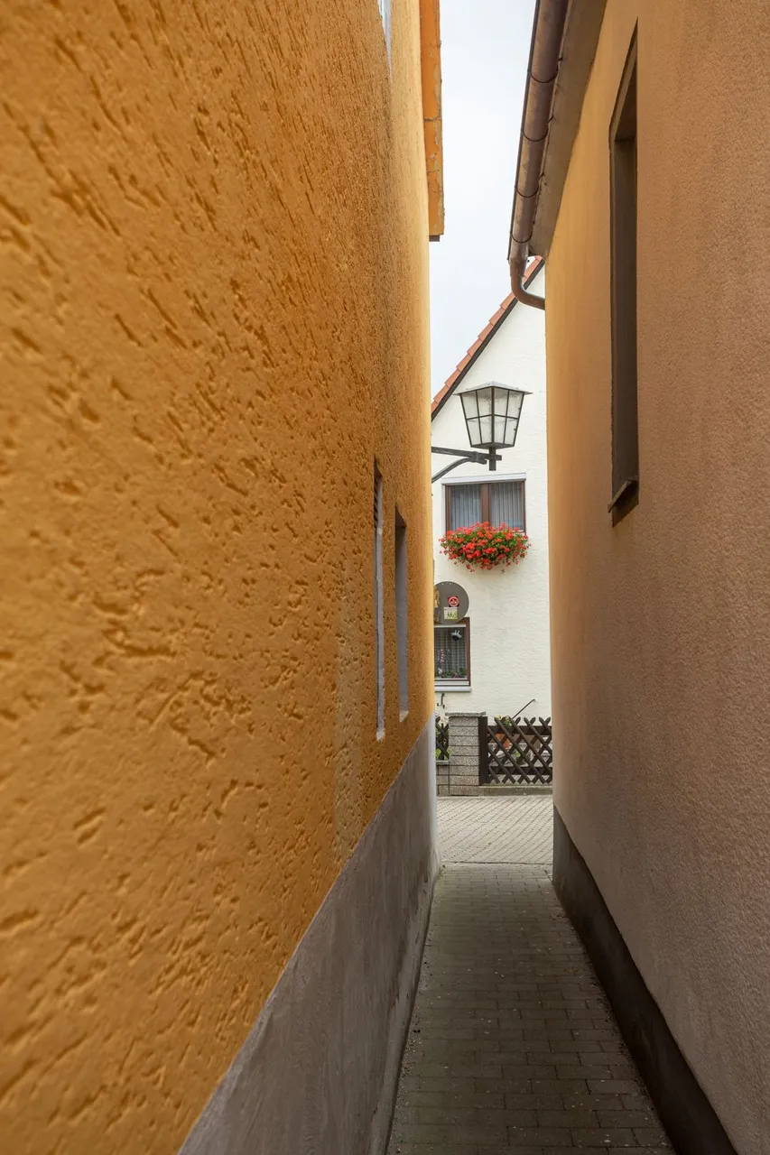
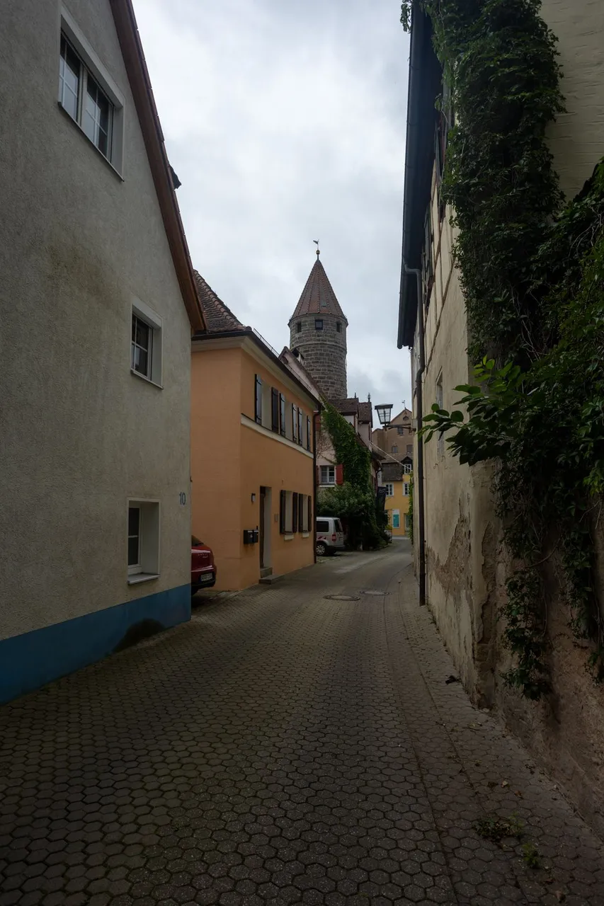
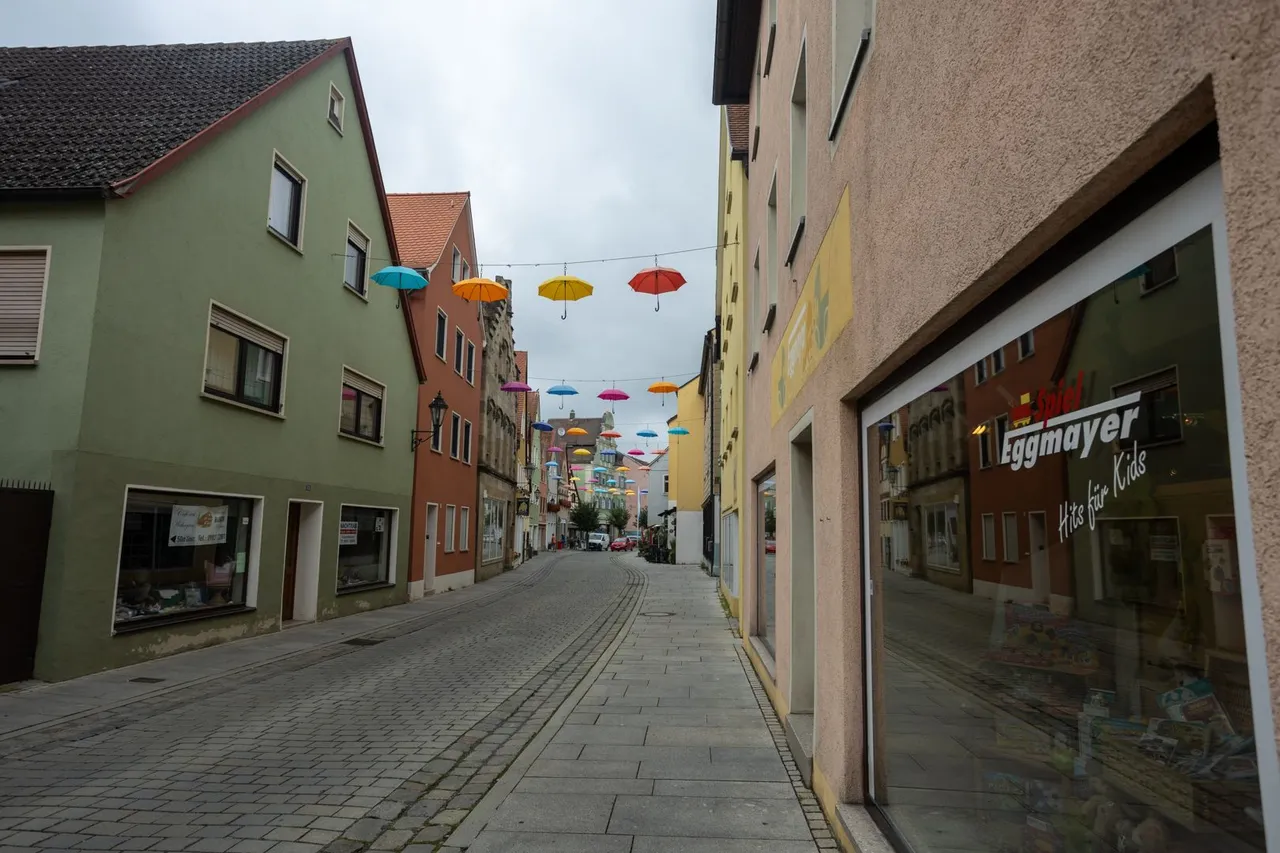
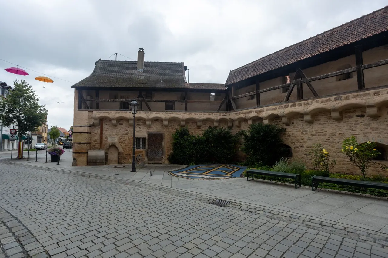
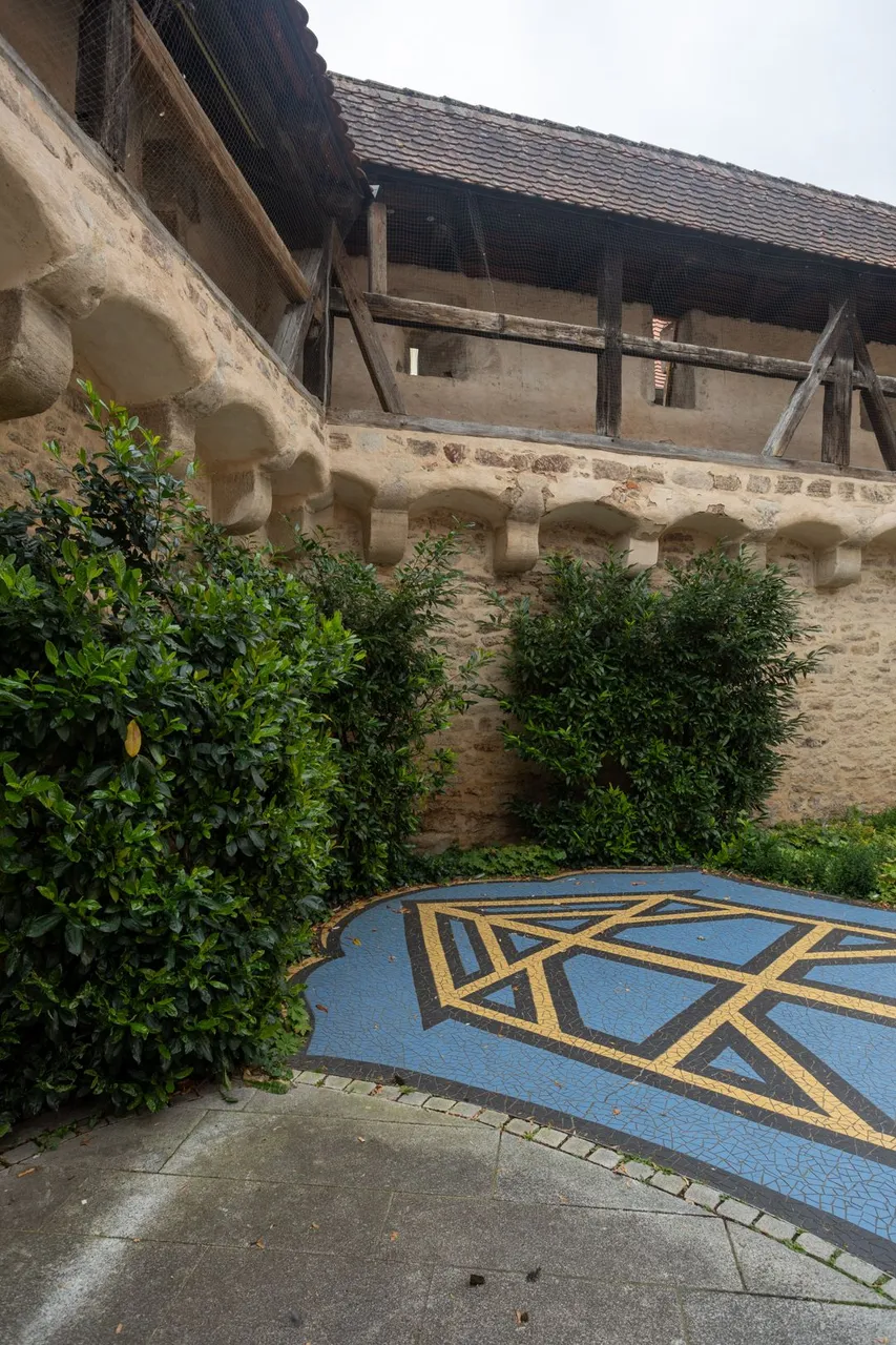
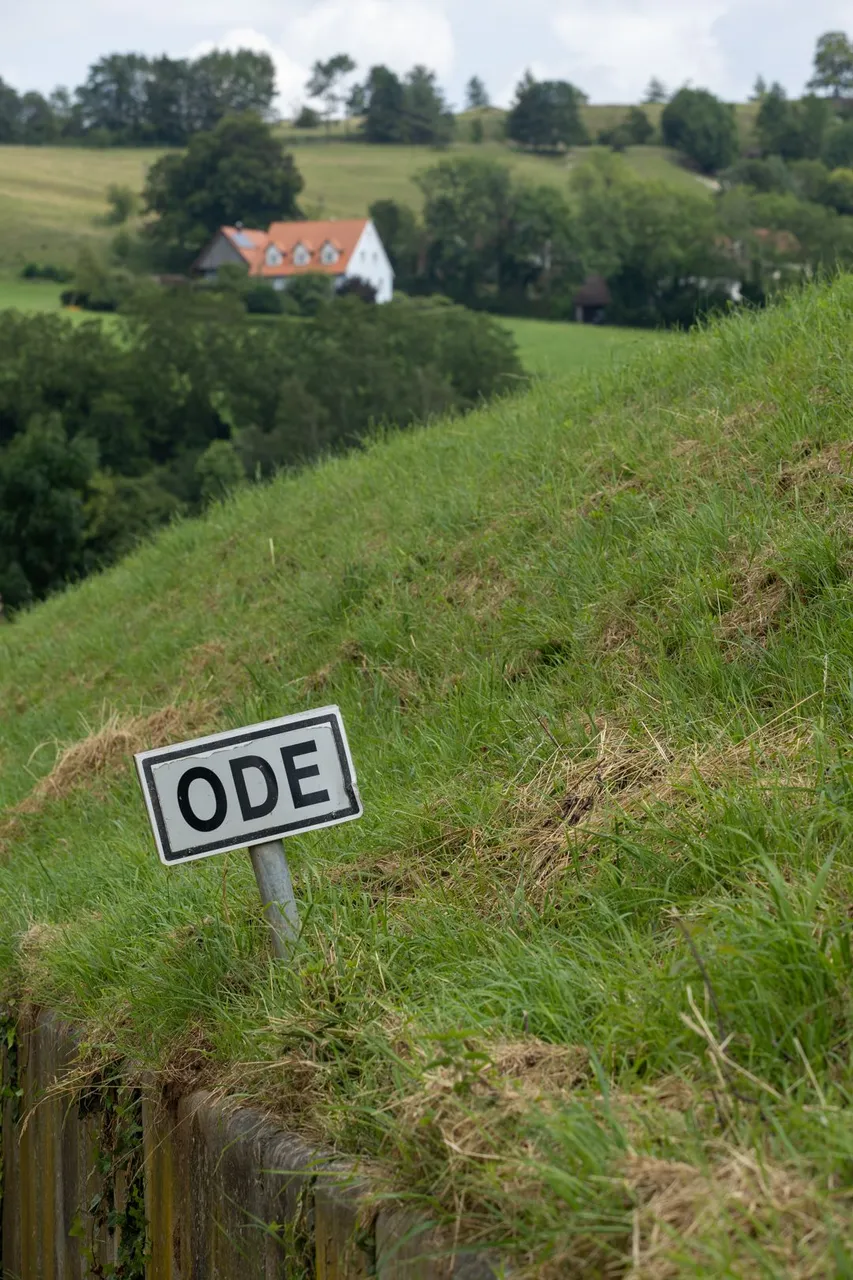
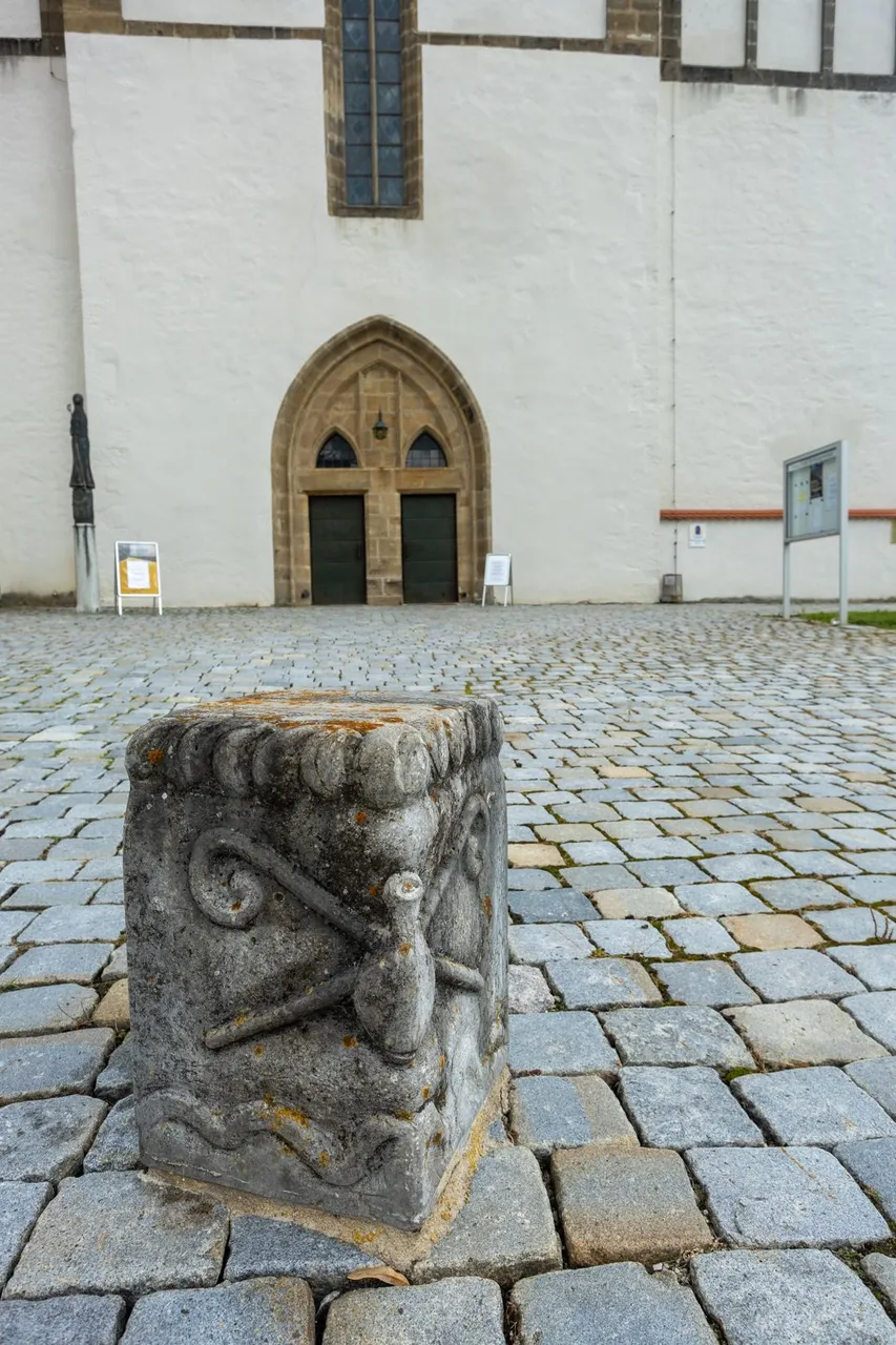
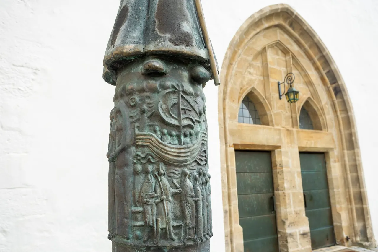
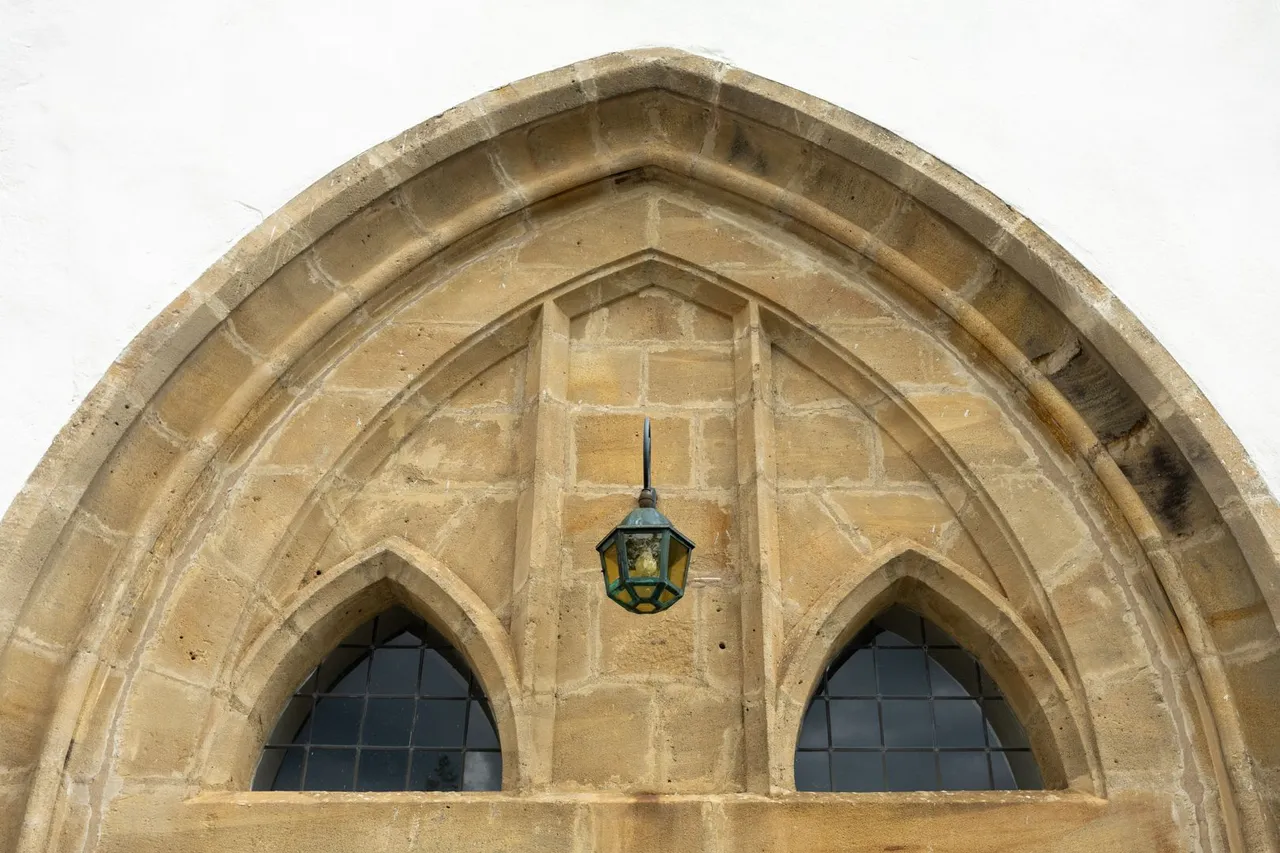
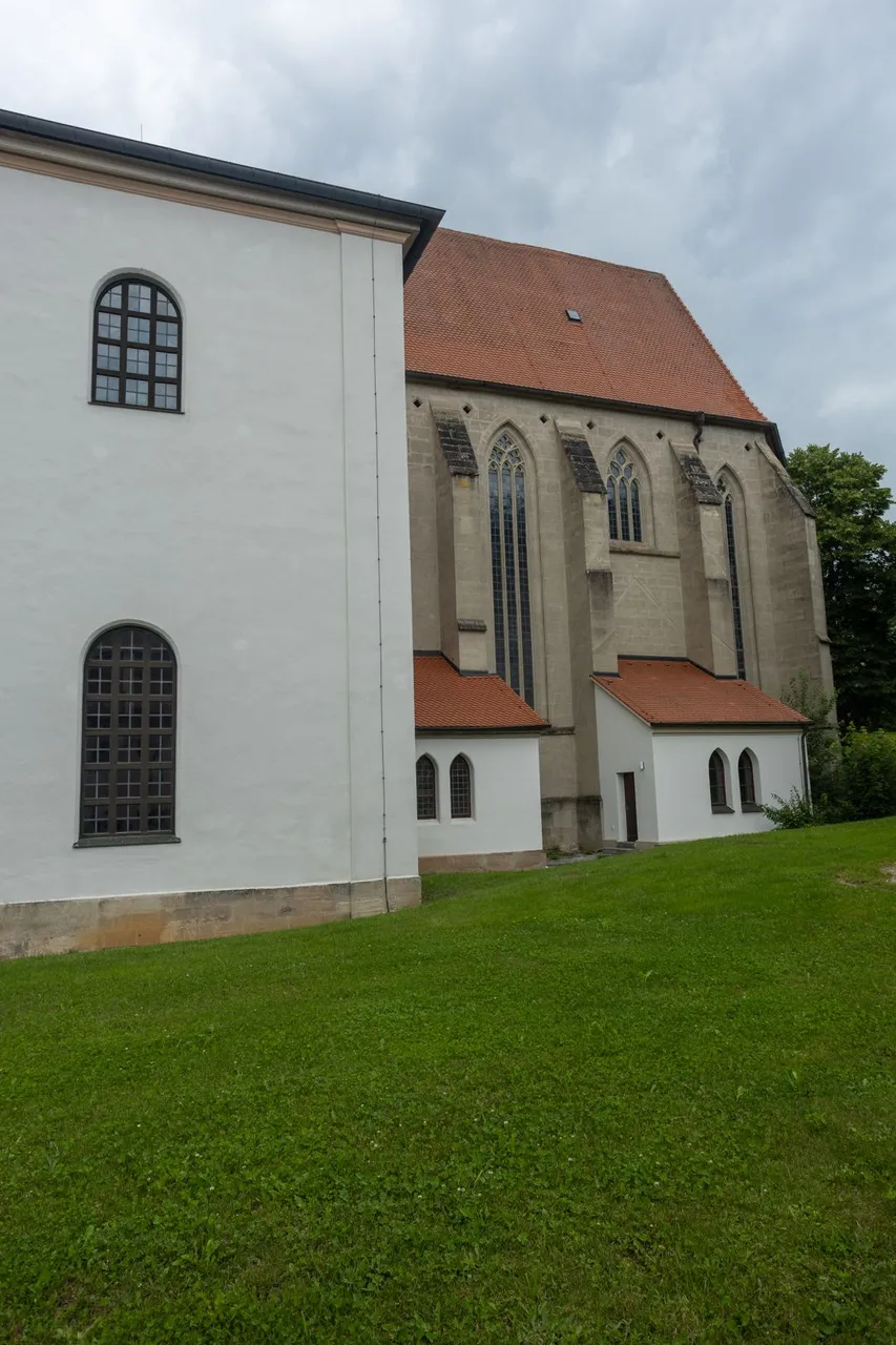
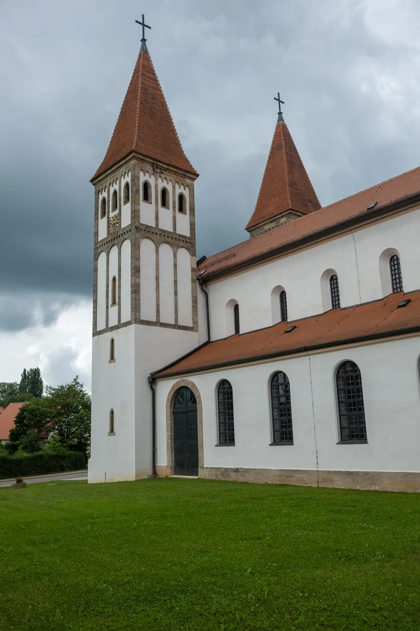
In the city itself, the path took me through narrow streets again. I would then walk around the church, the tower and the remains of the walls. Since there wasn't much to see in this town I headed to the grocery store where I stocked up and continued on.
Ve městě samotném mě stezka opět protáhla úzkými uličkami. Abych pak prošel kolem kostela, věže a zbytků hradeb. Jelikož toho v tomto městě nebylo moc k vidění zamířil jsem do obchodu s potravinami, kde jsem doplnil zásoby a pokračoval dále.
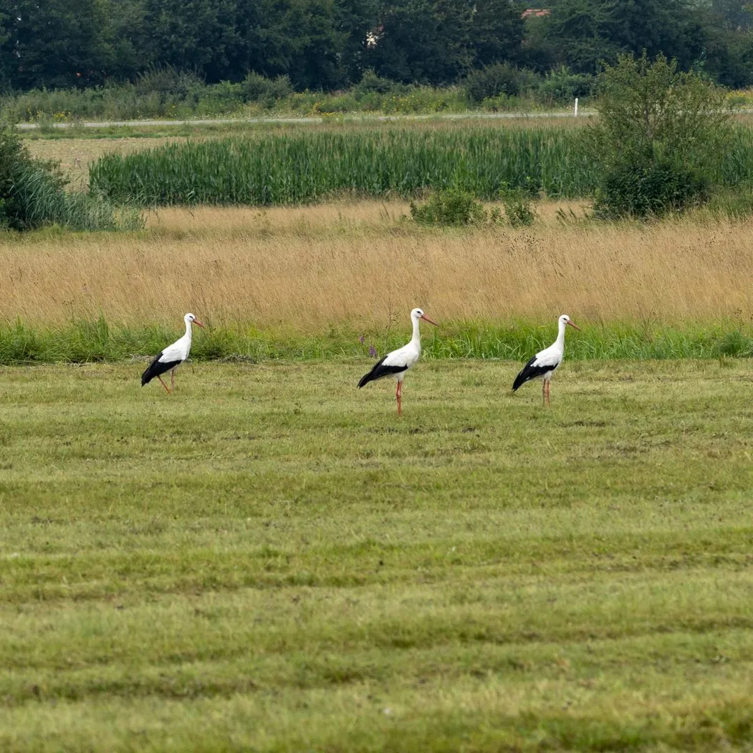
Outside the city, I watched the storks hunting for something behind the tractor that was collecting hay here. It was interesting that they didn't mind the tractor, but as soon as I got within 50 meters they all immediately flew away.
Za městem jsem chvíli pozoroval čápy lovící cosi za traktorem, který zde sbíral seno. Bylo zajímavé, že traktor jim nevadil, ale jakmile jsem se přiblížil na 50 metrů všichni okamžitě uletěli.
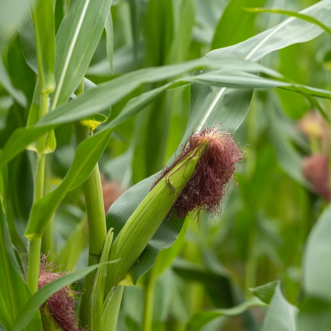
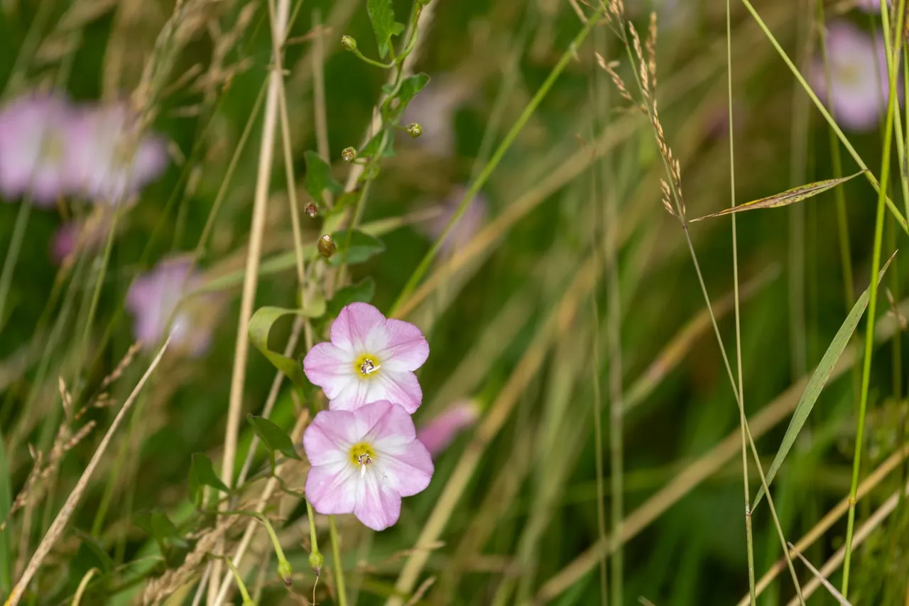
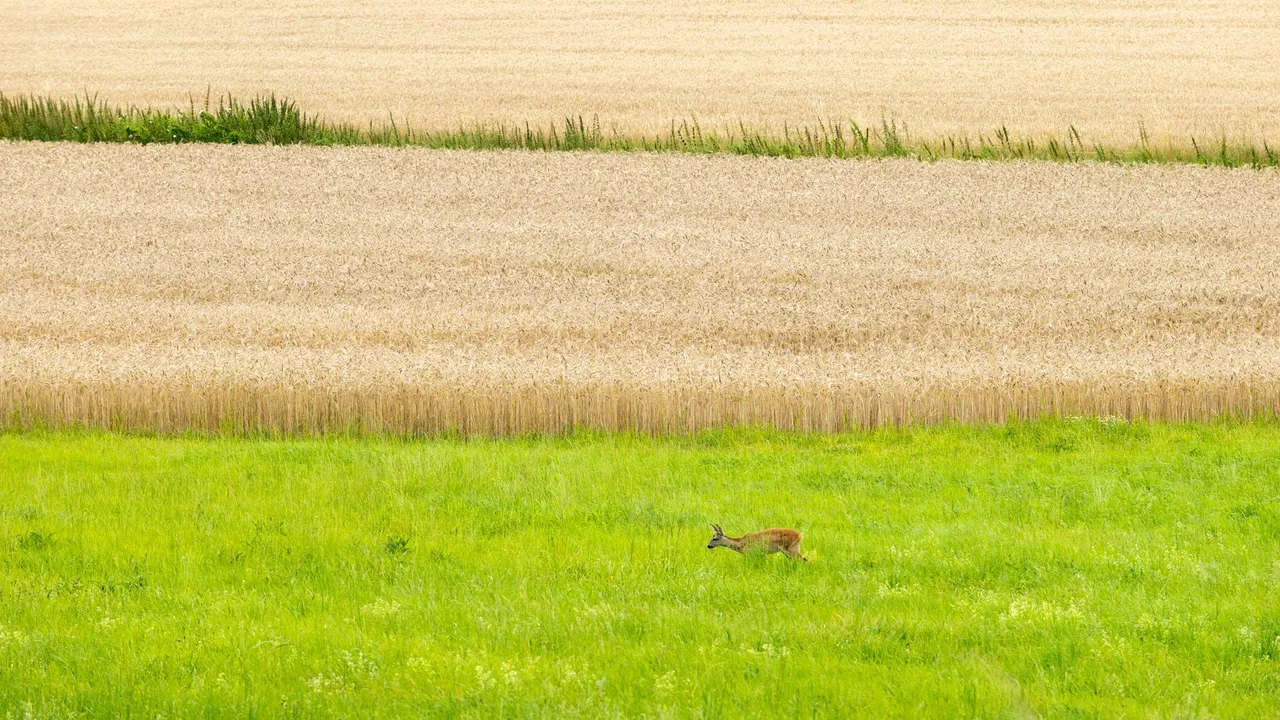
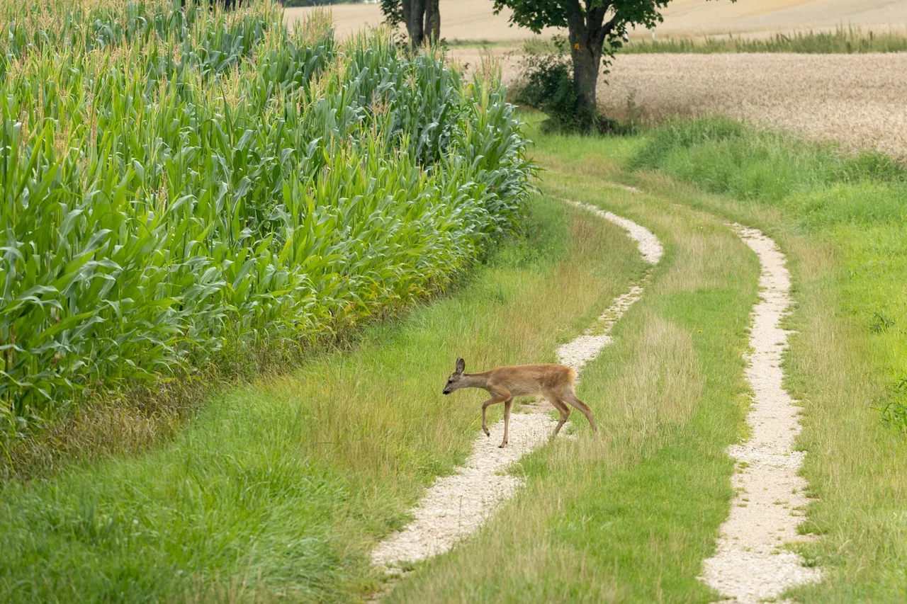
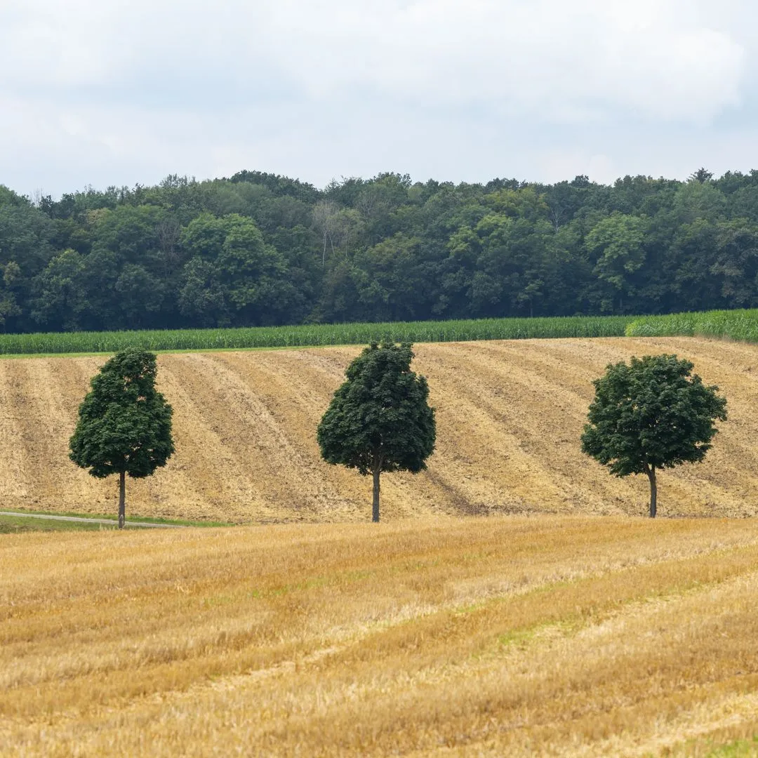
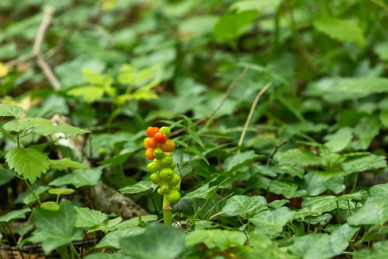
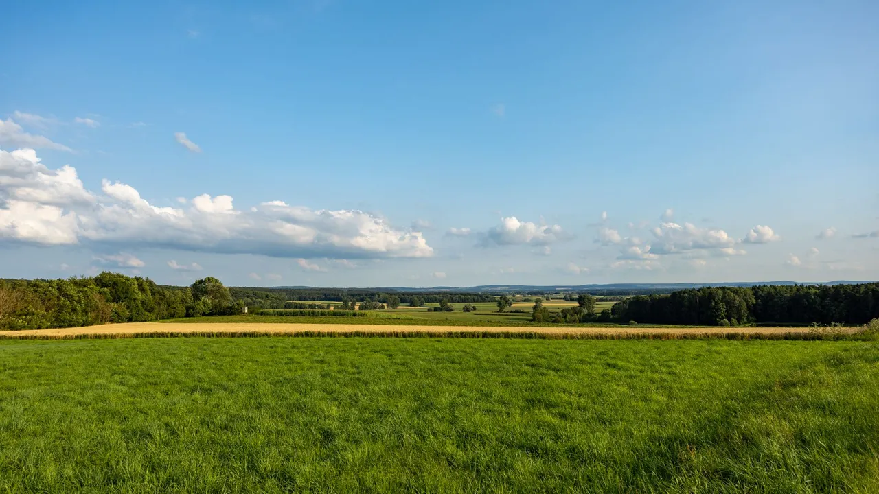
After that, I had a long journey through fields and meadows ahead of me. Where I occasionally saw some wildlife.
Poté mě čekala poměrně dlouhá cesta skrze pole a louky. Kde jsem občas uviděl nějakou tu divokou zvěř.
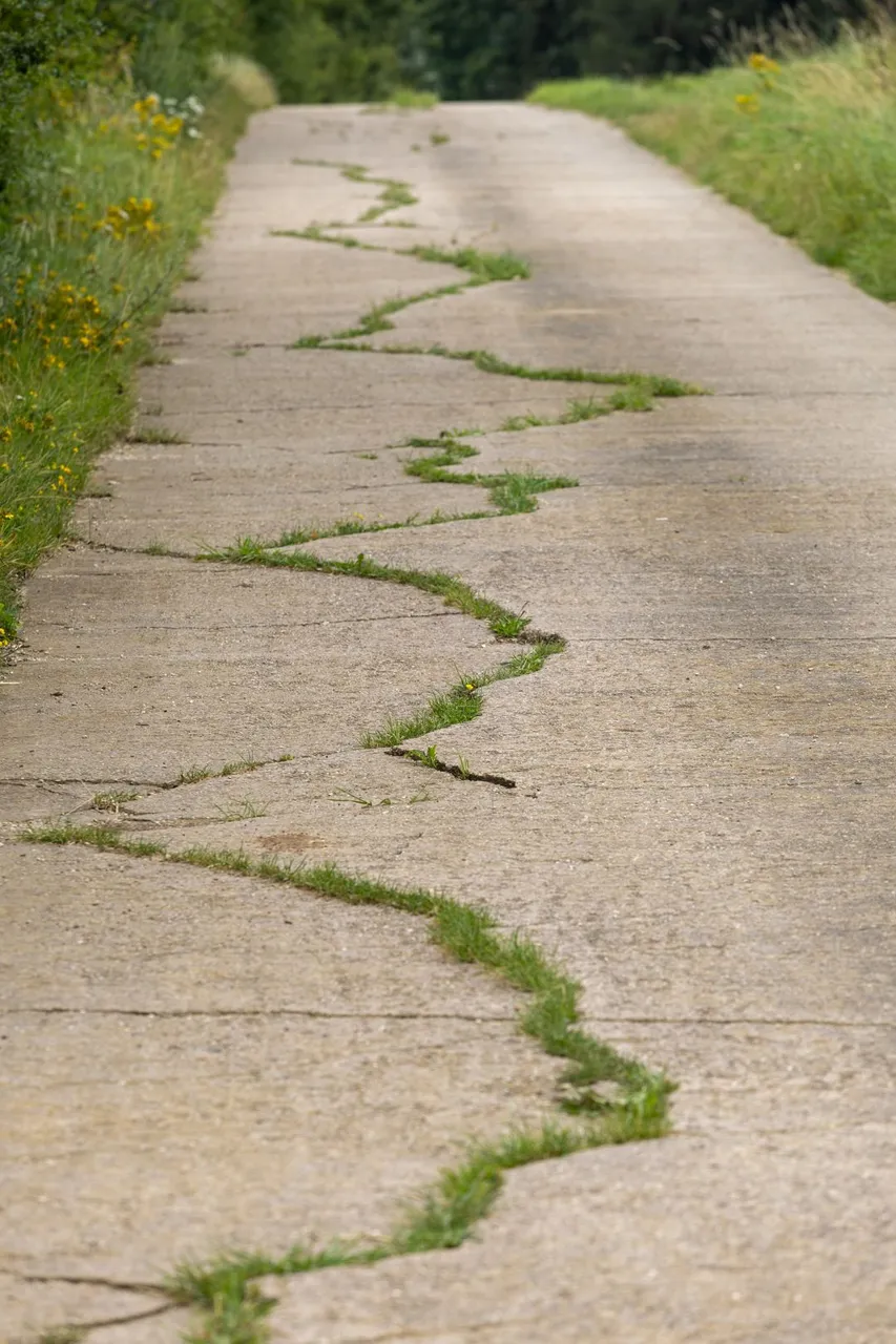

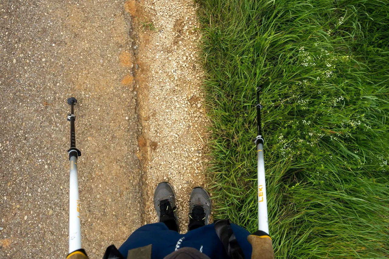
Because the road continued on through fields and meadows. I had to focus on the details in the landscape to get any photos at all.
Protože cesta pokračovala dále skrze pole a louky. Musel jsem se zaměřit na detaily v krajině, abych měl vůbec nějaké fotky.
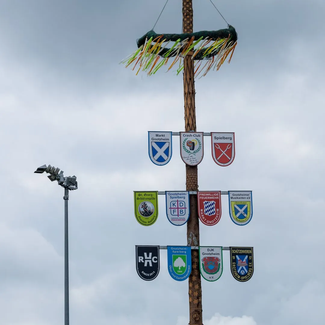
Beyond the village of Gnotzheim, I began to climb towards Spielberg Castle. From where there was finally a view of the flat landscape.
Za vesnicí Gnotzheim jsem začal stoupat k hradu Spielberg. Odkud byl konečně výhled do rovinaté krajiny.
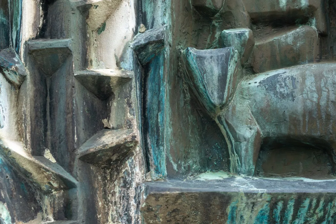
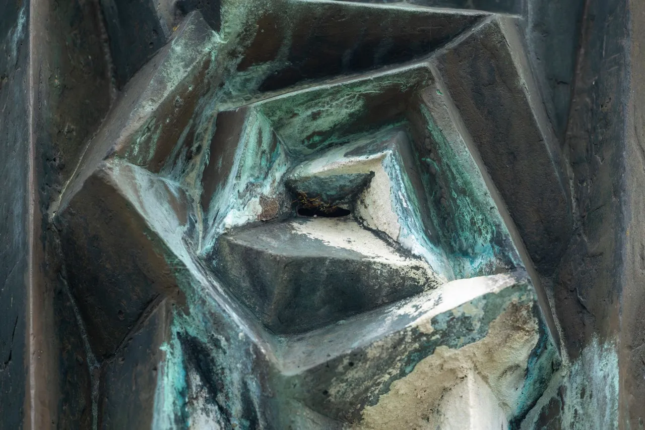
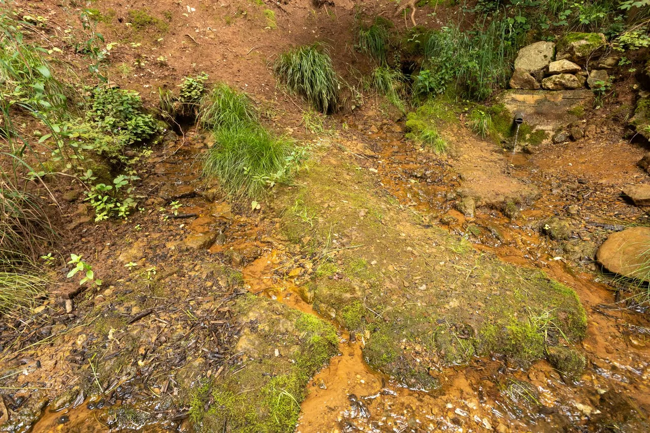
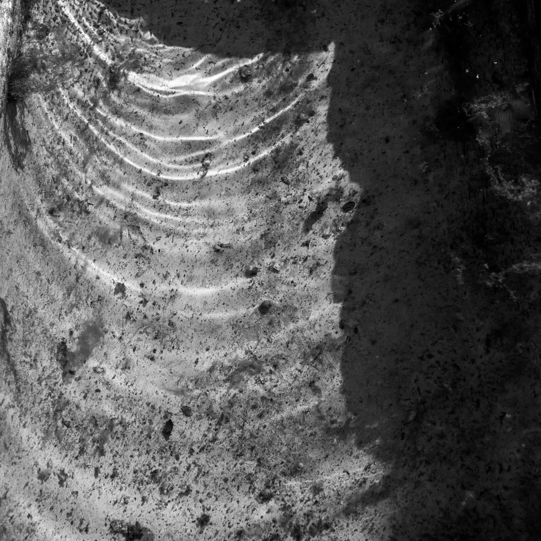
There was supposed to be a spring with drinking water at the top of the hill. But for some mysterious way it didn't work and so I only made a few details of the statue from which the water was supposed to flow.
Na vrcholu kopce měl být pramen s pitnou vodou. Ale z nějakého záhadného způsobu nefungoval a tak jsem udělal pouze pár detailů sochy, ze které měla voda vytékat.
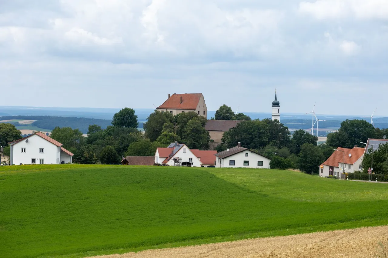
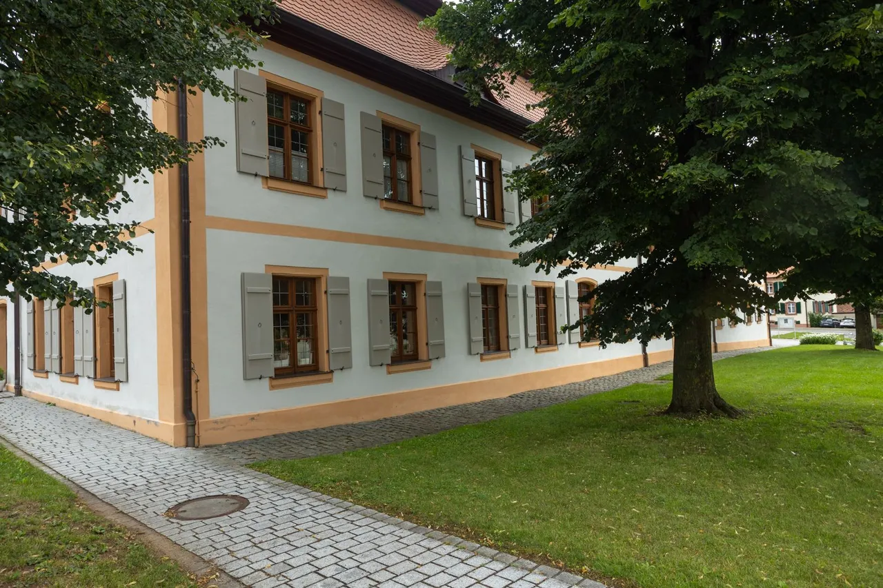
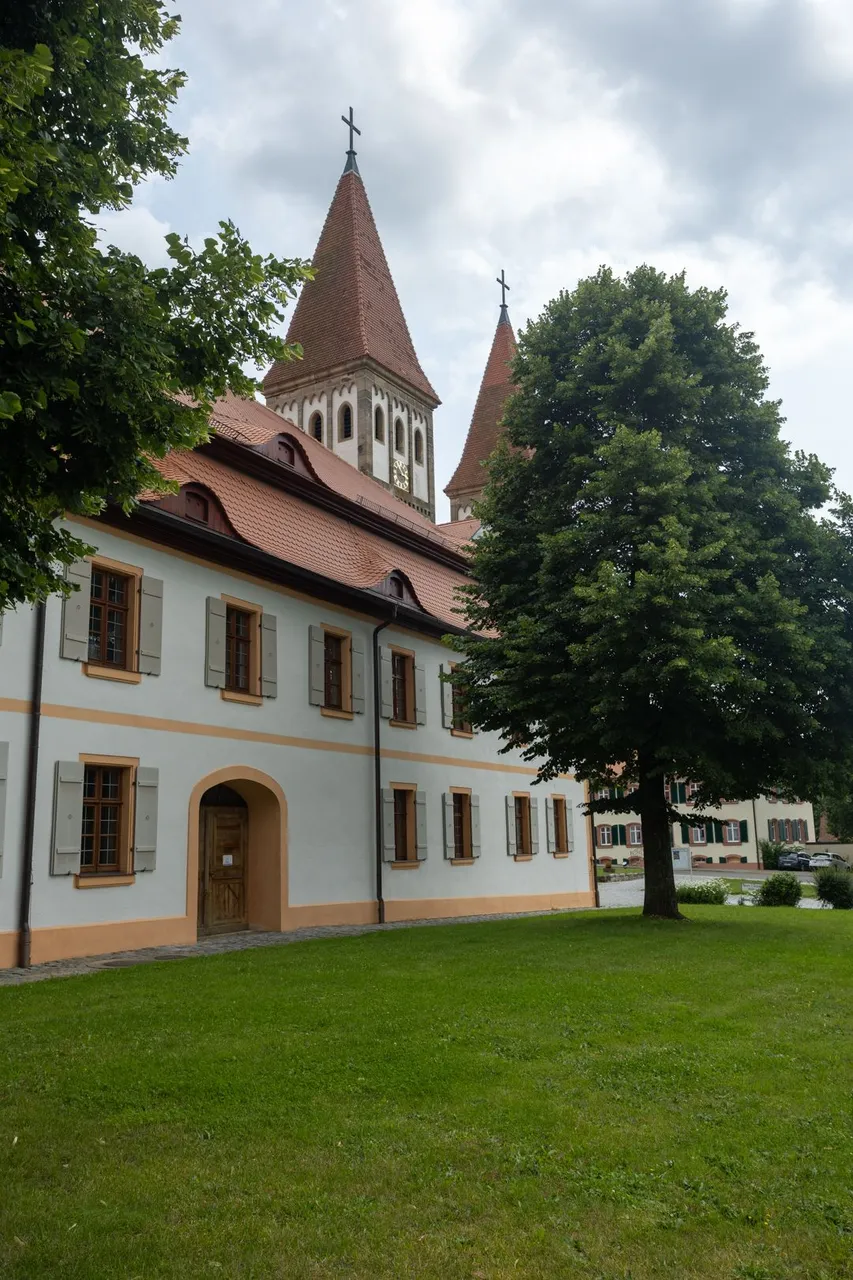
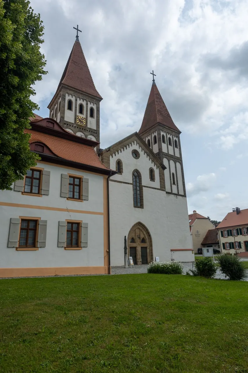
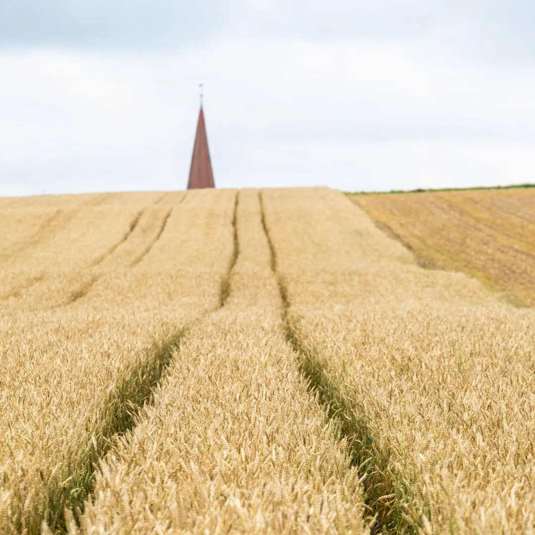
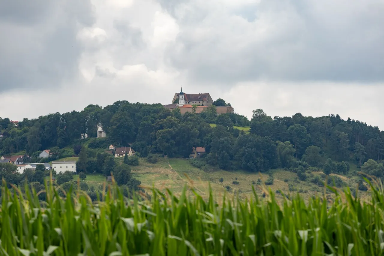
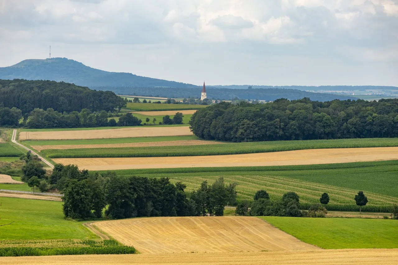
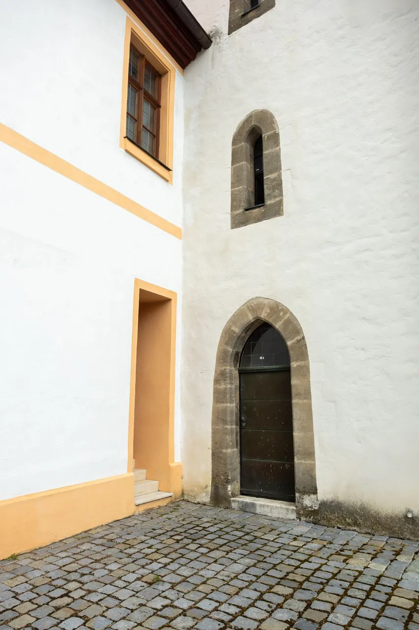
I reached the small town of Heidenheim over a ridge at a height of more than 600 meters above sea level. Where it is possible to visit the monastery and the church. Otherwise, it was pretty dead here.
Přes hřeben vedoucí ve výšce přes 600 metrů nad mořem jsem se dostal do malého městečka Heidenheim. Kde je možné navštívit klášter a kostel. Jinak zde bylo dost mrtvo.
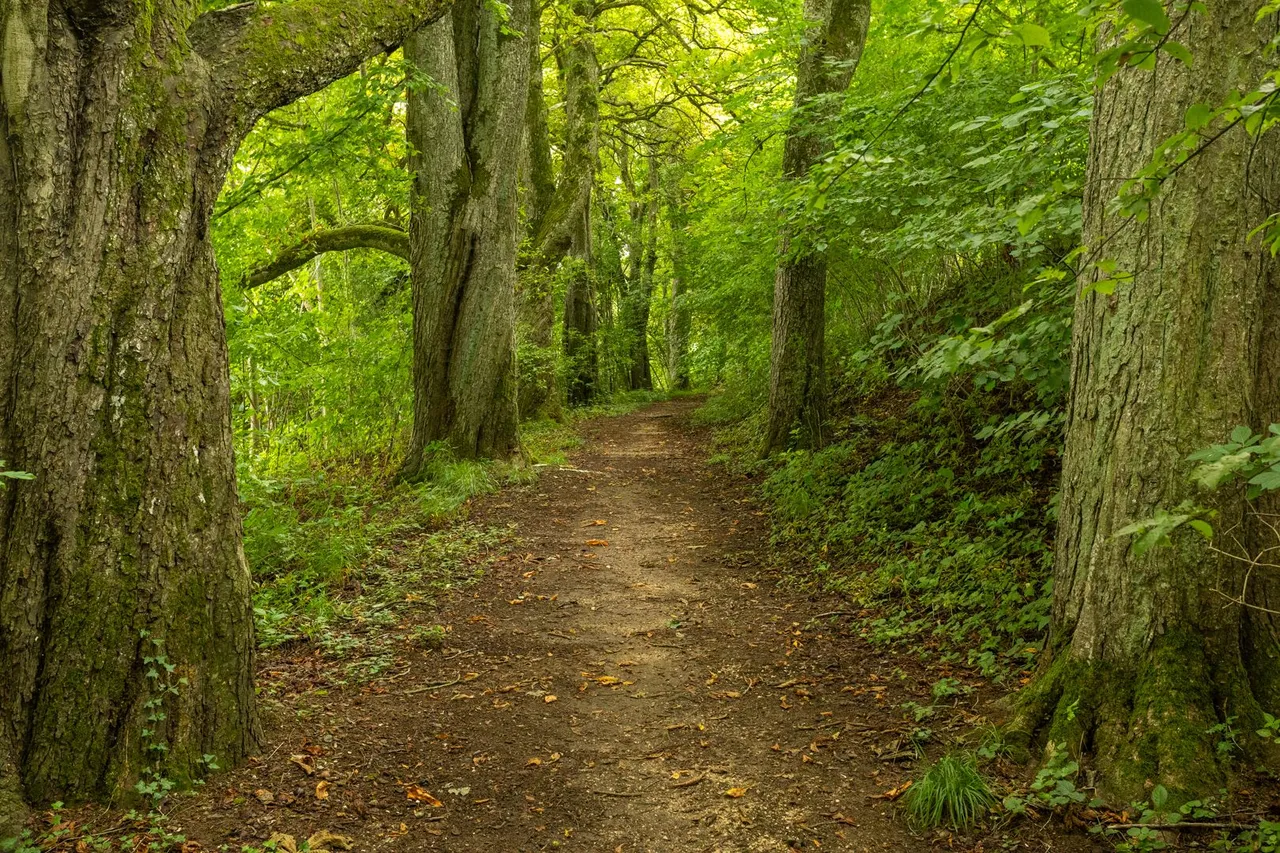
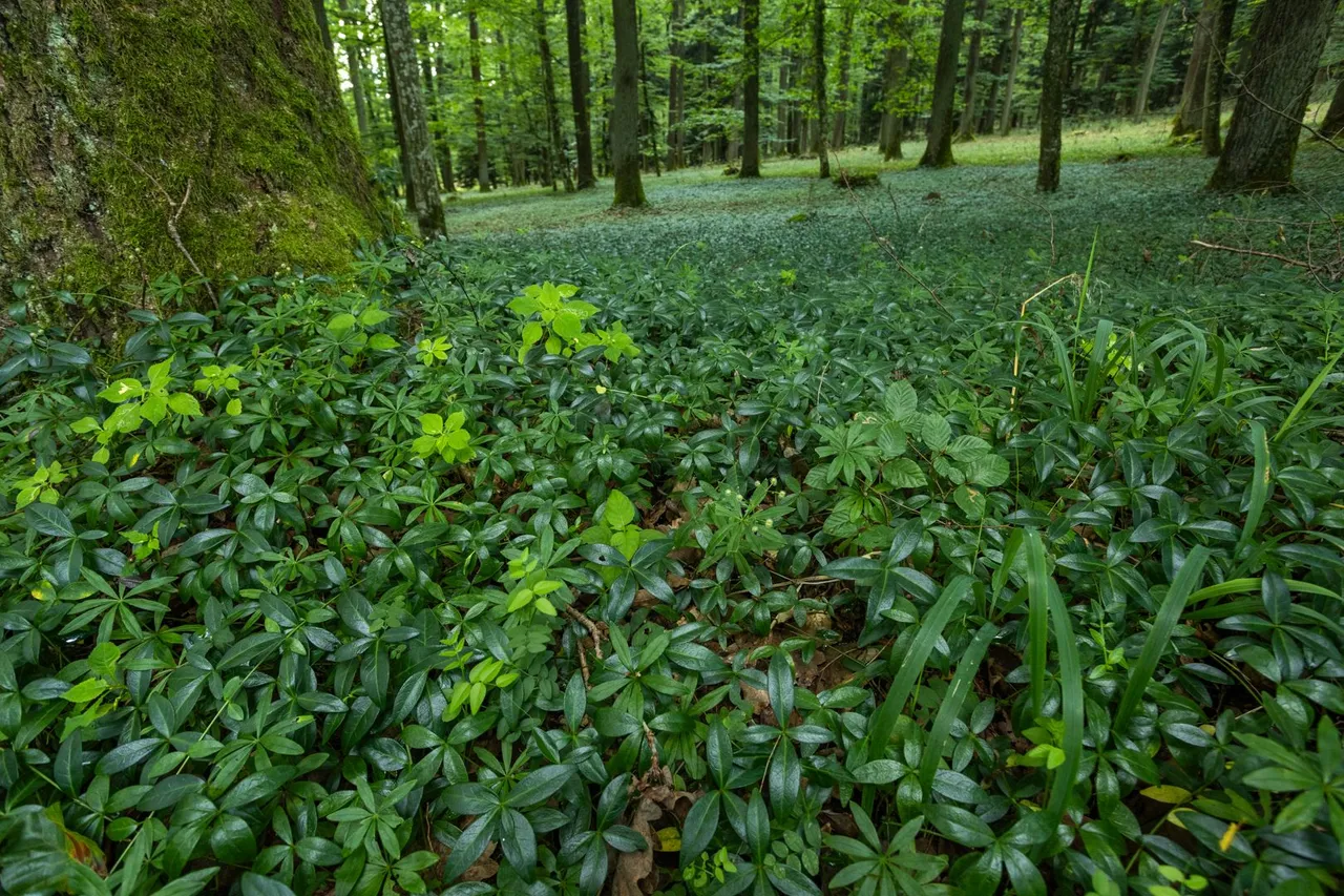
I went through the town pretty quickly. I catch a few details and continued down the trail. On the way I made a small detour to the chestnut alley, where it was definitely cooler than the main path that led through the meadow.
Prošel jsem městečkem dost rychle. Zachytil pár detailů a pokračoval dále po stezce. Cestou jsem si udělal malou odbočku do kaštanové aleje, kde bylo rozhodně chladněji, než na hlavní stezce, která vedla loukou.
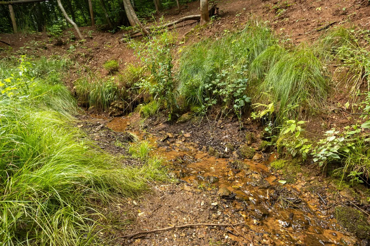
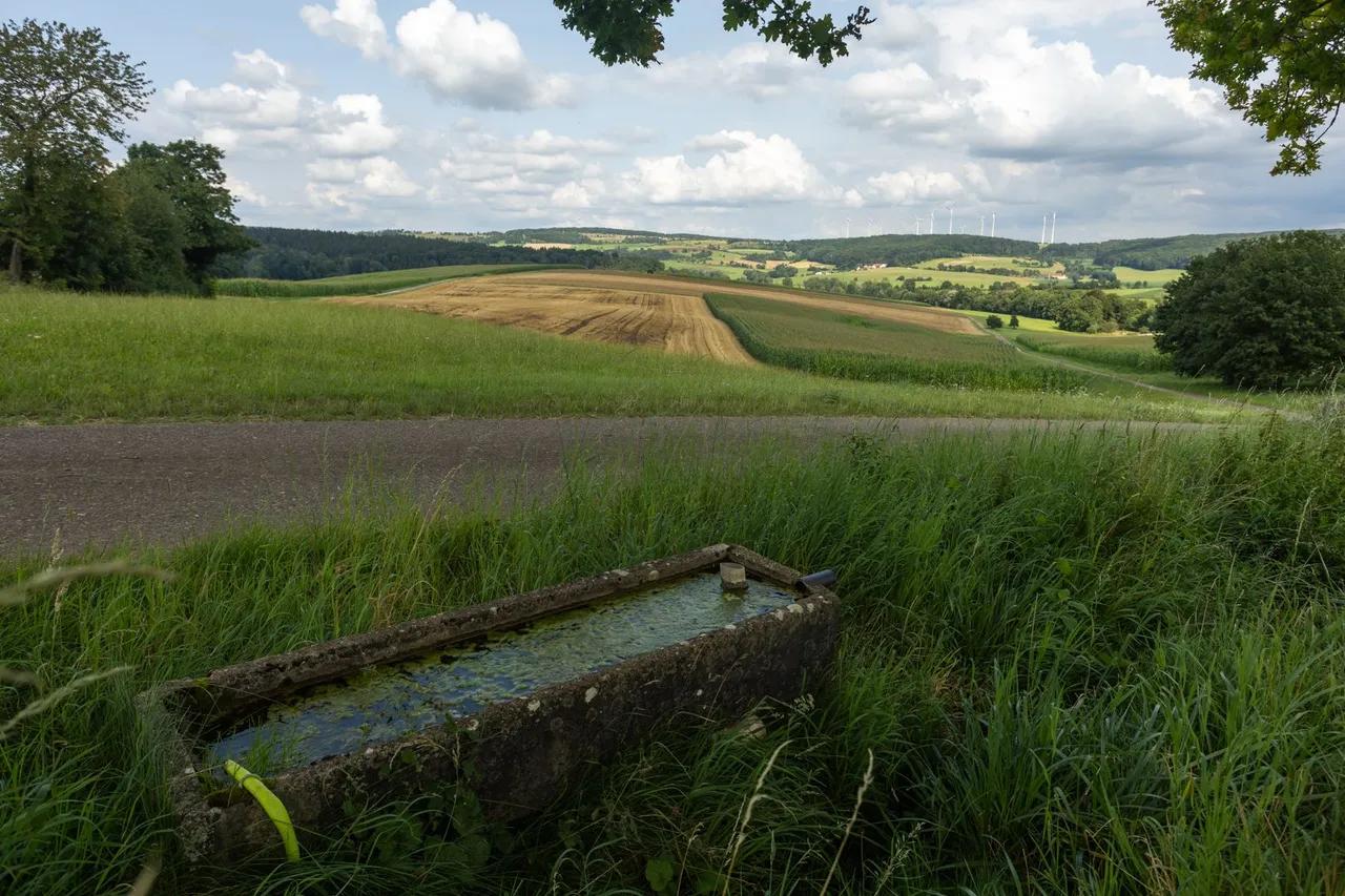
The path again led slightly uphill, up to the place where the place of 7 springs was. Here I filled the water to the maximum. So the backpack was loaded by another 4.5 kg. I sat on the bench for a while and replenished my energy in the form of a small snack.
Cesta vedla opět mírně do kopce, až k místu kde bylo prameniště 7mi pramenů. Zde jsem doplnil vodu do maxima. Takže se batoh zatížil o dalších 4.5 kg. Chvíli jsem poseděl na lavičce a doplnil energii v podobě malé svačiny.
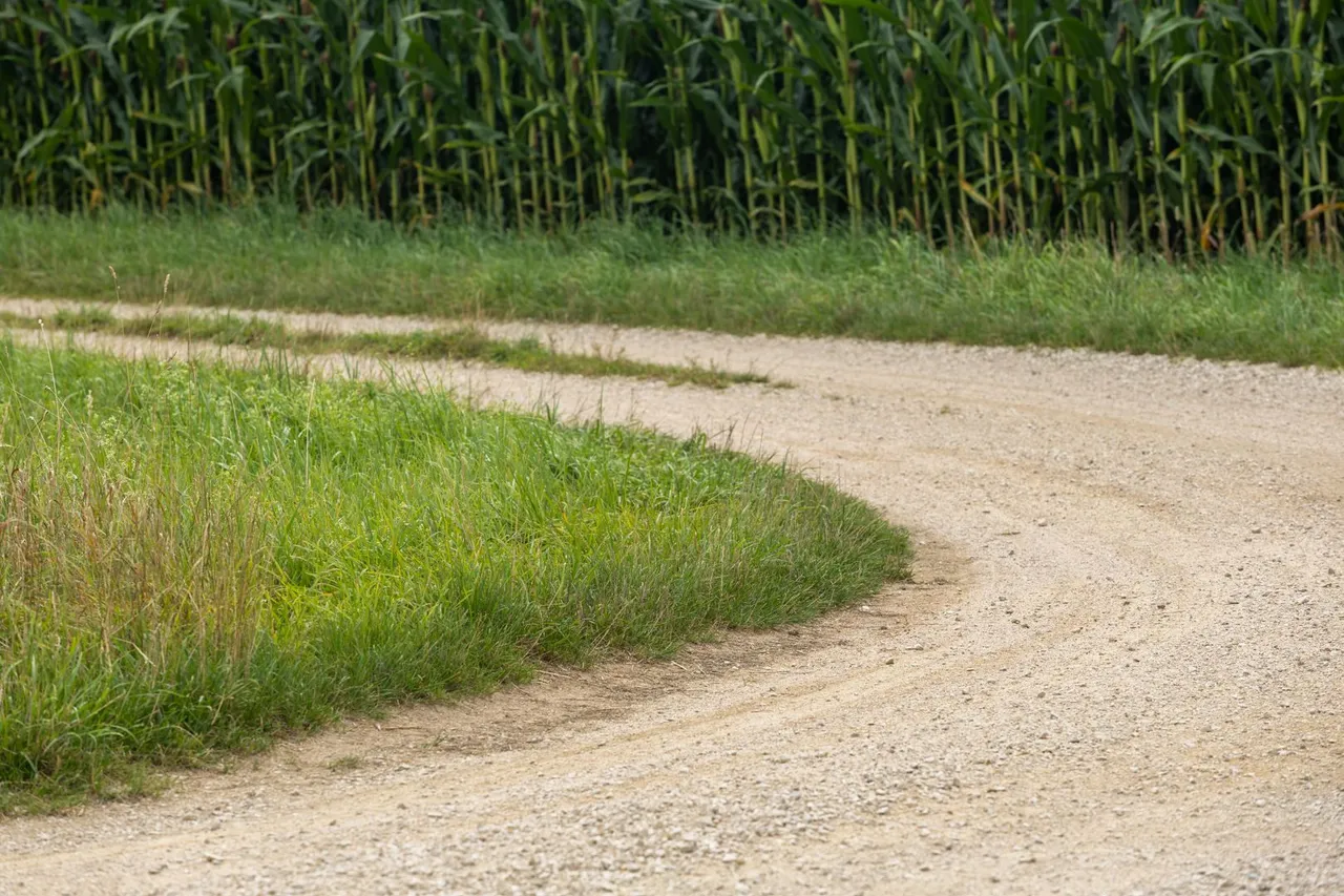
The trail then continued down the hill to the main road, only to continue up the hill again on a minor road. Fortunately, there was a well-trodden path on the edge of the asphalt, so I didn't have to walk on a hard surface.
Poté stezka pokračovala dolů s kopce k hlavnější silnici, aby opět pokračovala do kopce po vedlejší silnici. Naštěstí zde byla vyšlapaná cestička na okraji asfaltu a tak jsem nemusel jít po tvrdém povrchu.
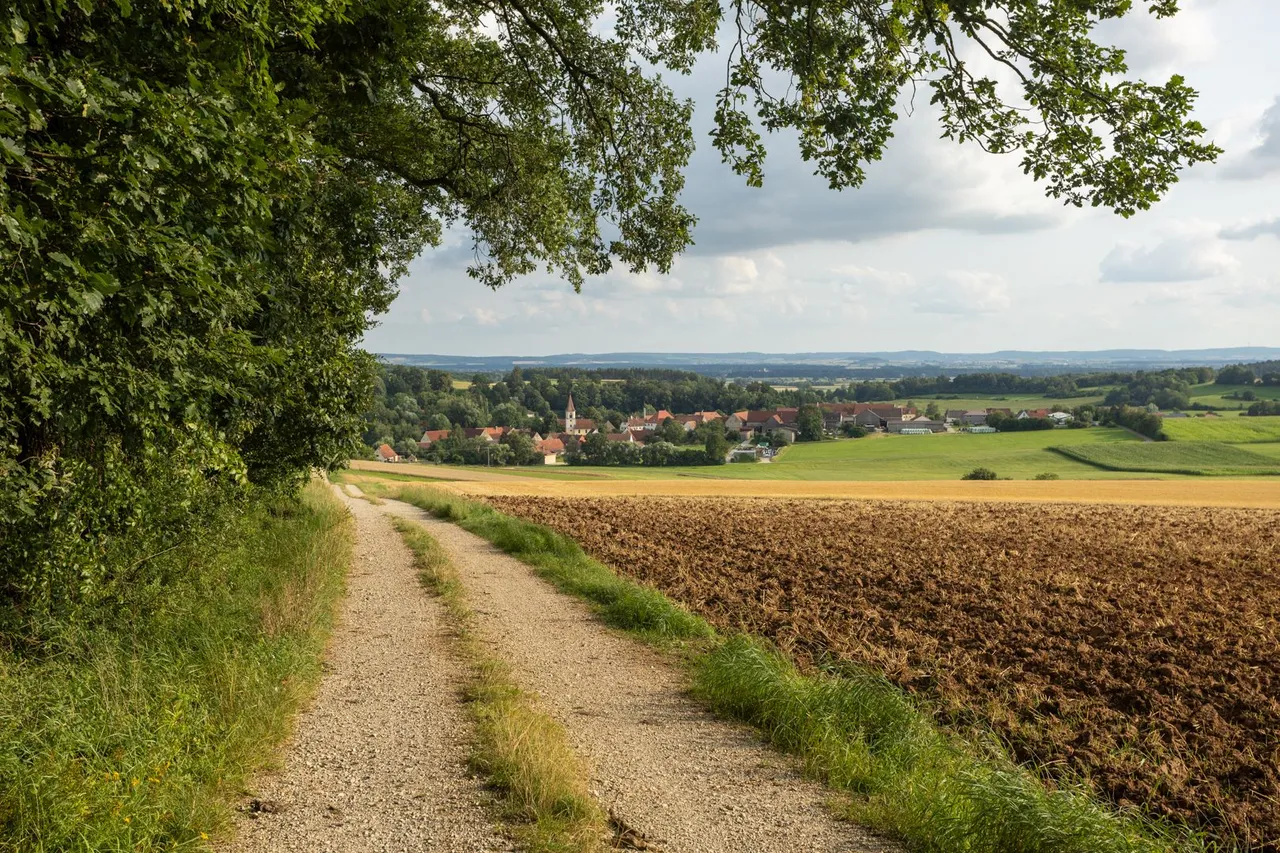
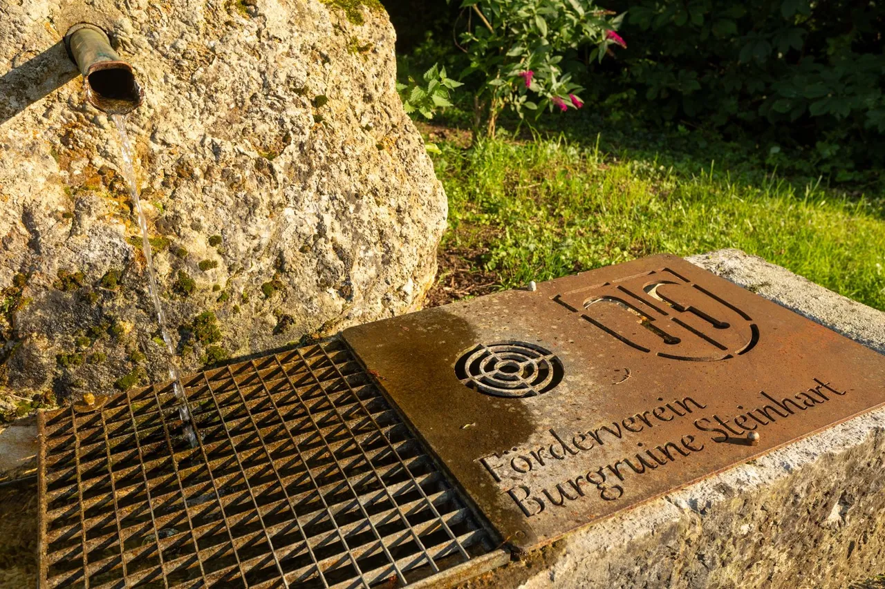
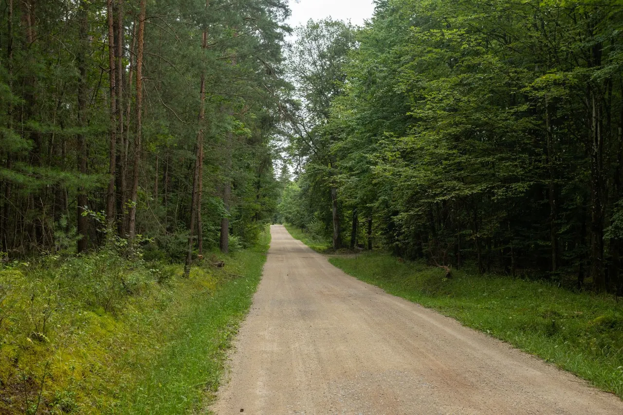
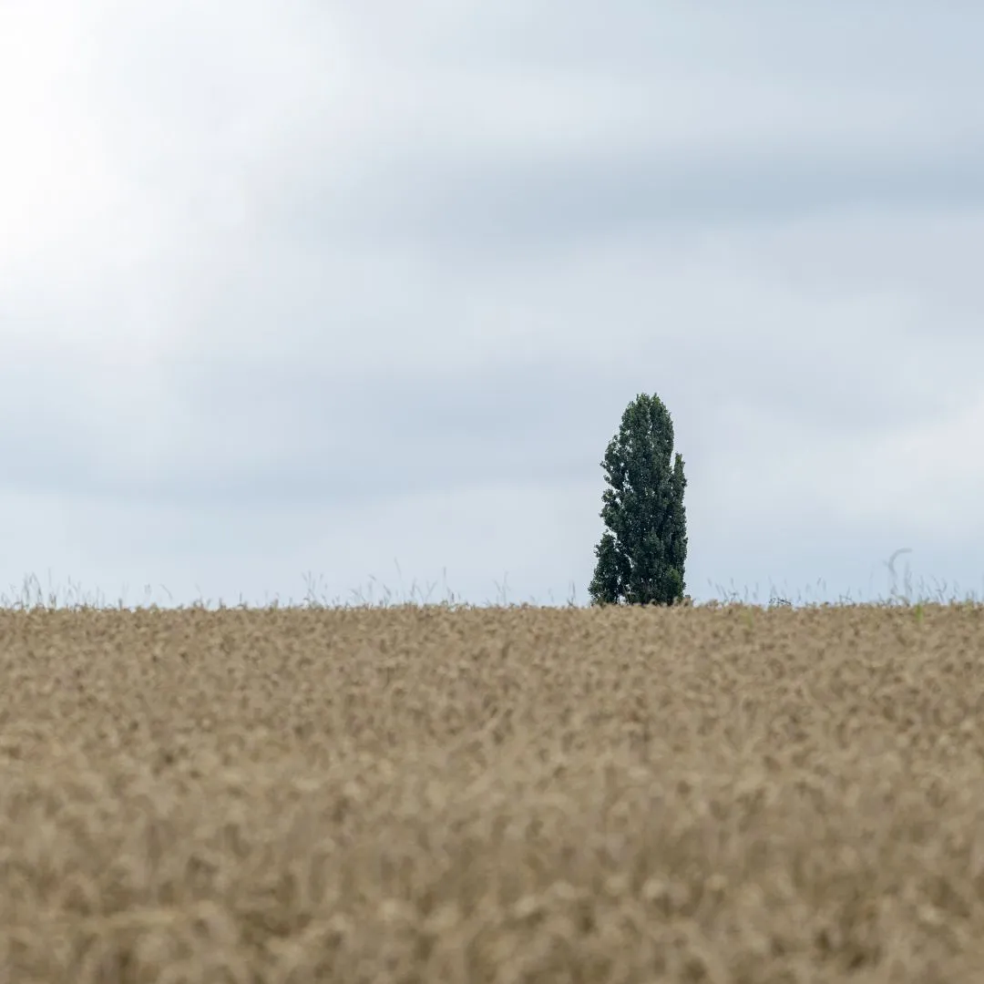
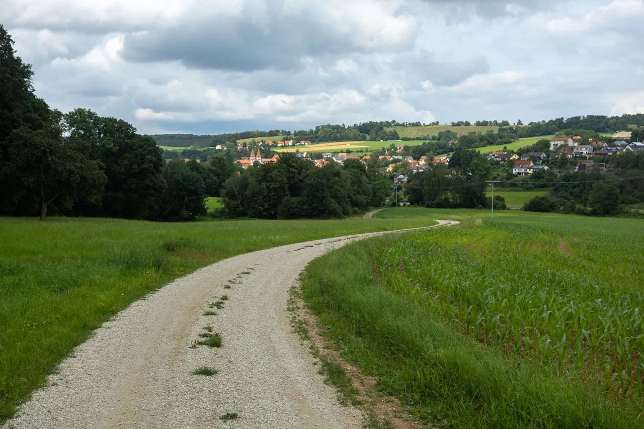
This whole day was marked by alternating fields, meadows and forests. Sometimes some village. The last one waiting for me that day was called Steinhart. Where I thought about spending the night at the castle ruins above the village, but I was no longer able to climb the steep incline of more than 50 meters elevation. So I just topped up the water at the local spring and headed to the next village of Hainsfarth where I found a place to spend the night on the edge of a field and a soccer field.
Celý tento den byl ve znamení střídání se polí, luk a lesů. Občas nějaké té vesnice. Poslední, která mě tento den čekala, nesla název Steinhart. Kde jsem uvažoval o přenocování na zřícenině hradu nad vesnicí, ale nebyl jsem již schopen vystoupat prudké převýšení více jak 50 metrů. Tak jsem jen doplnil vodu v místním prameni a zamířil k další vesnici Hainsfarth kde jsem našel místo na přenocování na okraji pole a fotbalového hřiště.
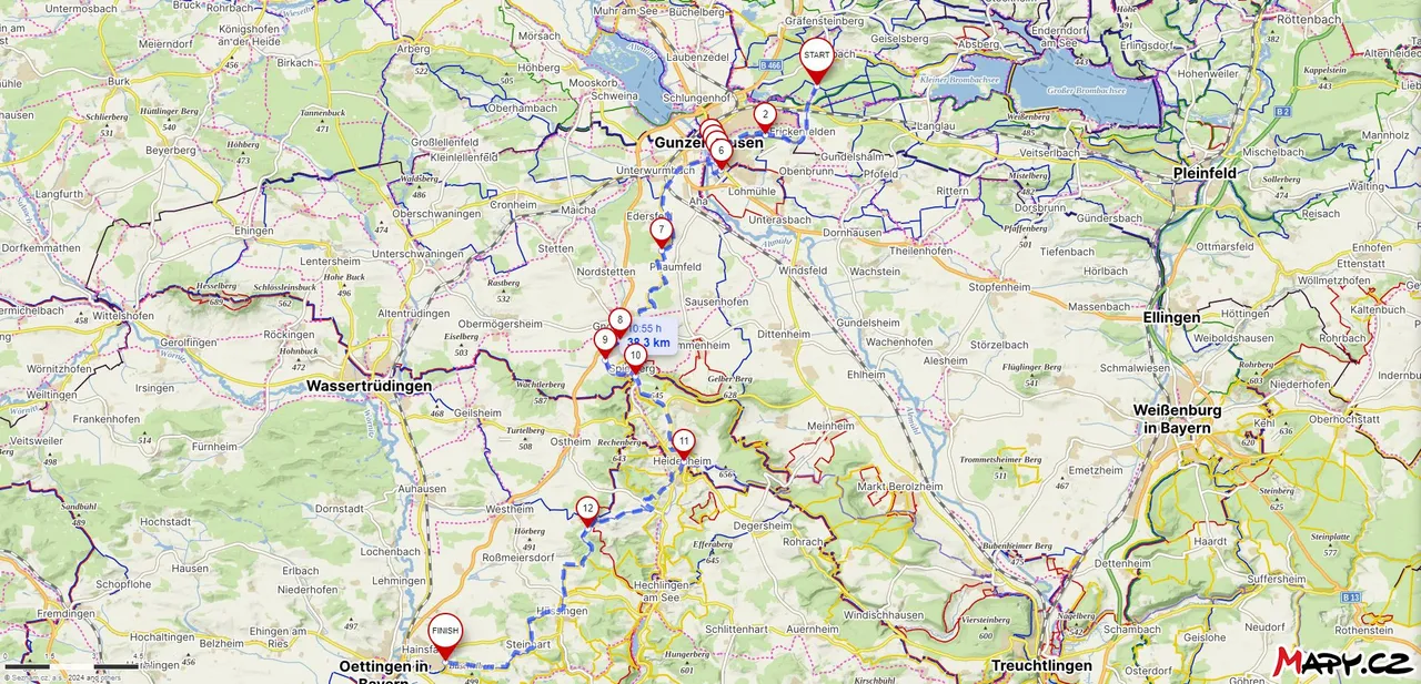
Route from Brombach to Hainsfarth
| Kilometers walked | Meters Up | Meters Down |
|---|---|---|
| 526.3 Km | 8592 meters | 8321 meters |
Jan Hus Trail - Prague (CZ) / Day 1 - part 1
Jan Hus Trail - Prague (CZ) / Day 1 - part 2
Jan Hus Trail - Prague to Beroun (CZ) / Day 2
Jan Hus Trail - Beroun to Skryjská jezírka (CZ) / Day 3
Jan Hus Trail - Skryjská jezírka to Kralovice (CZ) / Day 4
Jan Hus Trail - Kralovice to Rabštejn nad Střelou (CZ) / Day 5
Jan Hus Trail - Rabštejn nad Střelou to Konstantinovy Lázně (CZ) / Day 6
Jan Hus Trail - Konstantinovy Lázně to Tachov (CZ) / Day 7
Jan Hus Trail - Tachov (CZ) - Plößberg (GER) / Day 8
Jan Hus Trail - Plößberg - Kohlberg (GER) / Day 9
Jan Hus Trail - Kohlberg - Högen (GER) / Day 10
Jan Hus Trail - Högen - Eichelberg (339m) (GER) / Day 11
Jan Hus Trail - Eichelberg (339m) - Nurnberg Hbf (GER) / Day 12
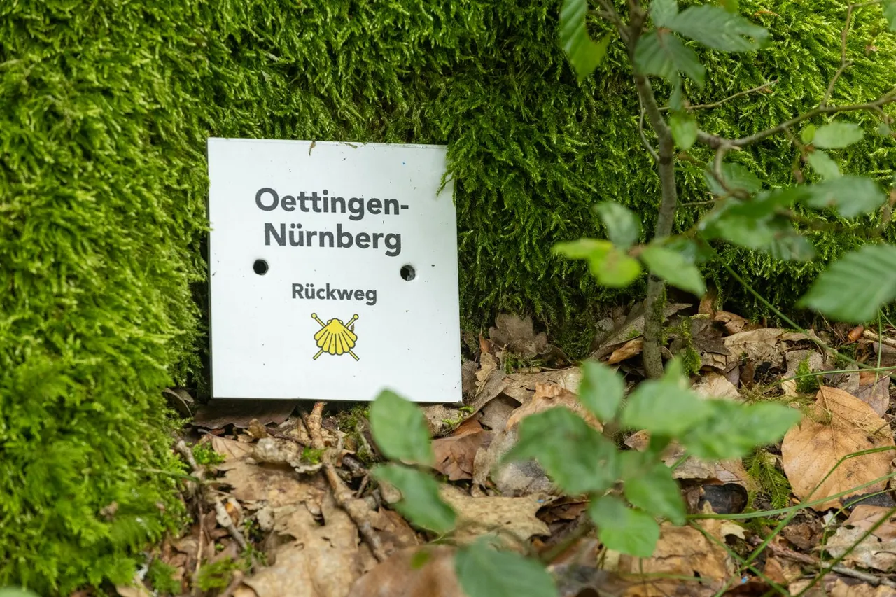
Jan Hus Trail / Jakobsweg - Nurnberg Hbf - Schwabach (GER) / Day 12 and half
Jan Hus Trail / Jakobsweg - Schwabach - Brombach (GER) / Day 13