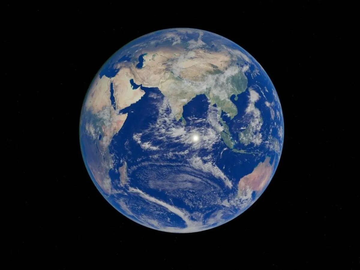
As a geologist, I’ve spent years unraveling the Earth’s complex history through its rocks, minerals, and landscapes. I can tell how tedious the work can be, especially when you've not got a lot of tools to work with. Reading the news of the launch of TerraMind by IBM and the European Space Agency (ESA) on April 22, 2025, has ignited my excitement for the future of Earth observation. This multimodal AI model, designed to analyze nine distinct data types - from satellite imagery to climate records - promises to revolutionize how we study and monitor our planet’s dynamic systems.
TerraMind offers geoscientists, environmental researchers, and policymakers an unprecedented tool to tackle pressing challenges like climate change, natural disasters, and resource management. It heralds a new era of precision and insight in understanding Earth’s intricate processes. This is made possible by the integration of vast geospatial datasets with cutting-edge AI technology.
We are into a new era in Earth Observation!
TerraMind represents a significant advancement in the field of Earth observation, combining IBM’s expertise in artificial intelligence with ESA’s extensive archive of satellite data and proficiency in geospatial analytics. Unlike traditional AI models that rely on a single data type, TerraMind is a multimodal generative AI model capable of processing nine distinct data modalities, including satellite imagery, radar data, topography, land use, land cover, elevation, geolocation, climate records, and vegetation maps. This is a holistic approach that enables TerraMind to build a deeper, more intuitive understanding of Earth’s interconnected systems, moving beyond mere image analysis to contextual geospatial reasoning.
The model was trained on TerraMesh, the largest freely available geospatial dataset, comprising over nine million samples and 500 billion tokens of data from every region and biome on Earth. This comprehensive training ensures minimal bias and global applicability, making TerraMind a versatile tool for diverse environmental applications worldwide. TerraMind has a lightweight design that requires up to ten times less computational power than traditional models, also enhancing its scalability and energy efficiency, aligning with sustainability goals.
TerraMind will Outperform the Competition
TerraMind’s capabilities have been rigorously tested by ESA using the PANGAEA benchmark, a community-standard evaluation for Earth observation models. Compared against 12 other leading models, TerraMind outperformed its competitors by at least 8% across tasks such as land cover classification, change detection, environmental monitoring, and multi-temporal analysis. This superior performance underscores TerraMind’s potential to set a new standard in AI-driven geospatial analytics.
A key innovation in TerraMind is its “Thinking-in-Modalities” (TiM) tuning, a technique analogous to chain-of-thought reasoning in language models. TiM allows TerraMind to self-generate synthetic training data relevant to specific tasks, such as considering land cover when mapping water bodies. This data-efficient approach enhances the model’s accuracy and adaptability, enabling it to tackle complex environmental challenges with greater precision. This means that TerraMind can understand satellite images in a smart, powerful way, useful for tracking large-scale events on Earth.