This is the 16th post of the Manali Leh Highway series, in the previous posts of this series you have covered Himalayan Shepherds, Life of Changpa Tribe, Himalayan Rickshaw Run, Lahaul Valley, Maurey Plains Tanglang La, Naki La, Leh, Rohtang Pass, Lahaul Valley, Maurey Plains See the storm scenes and the landscapes of this highway and learn about this colorful earth. Today in this series we are going to see some beautiful landscapes on Manali Leh Highway, so let's start the journey.
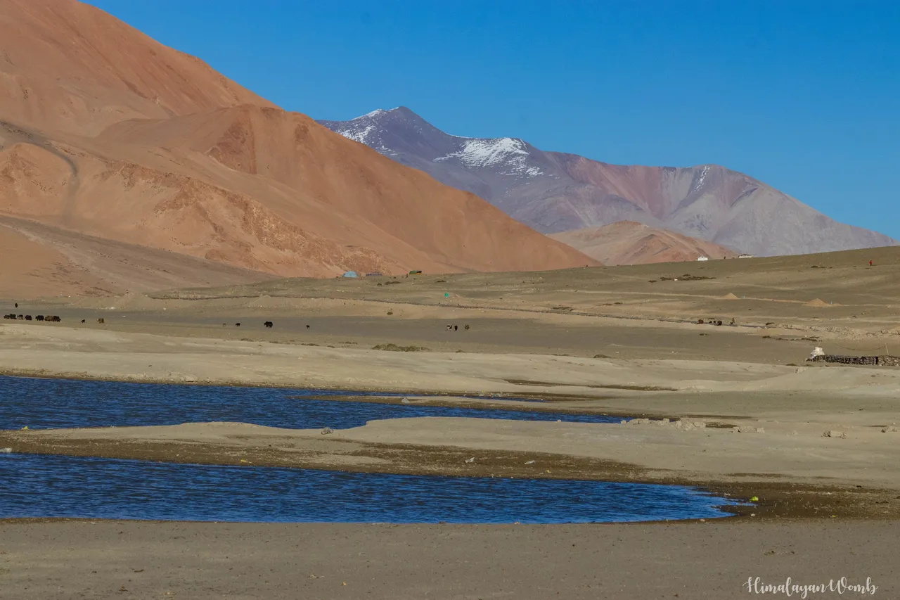
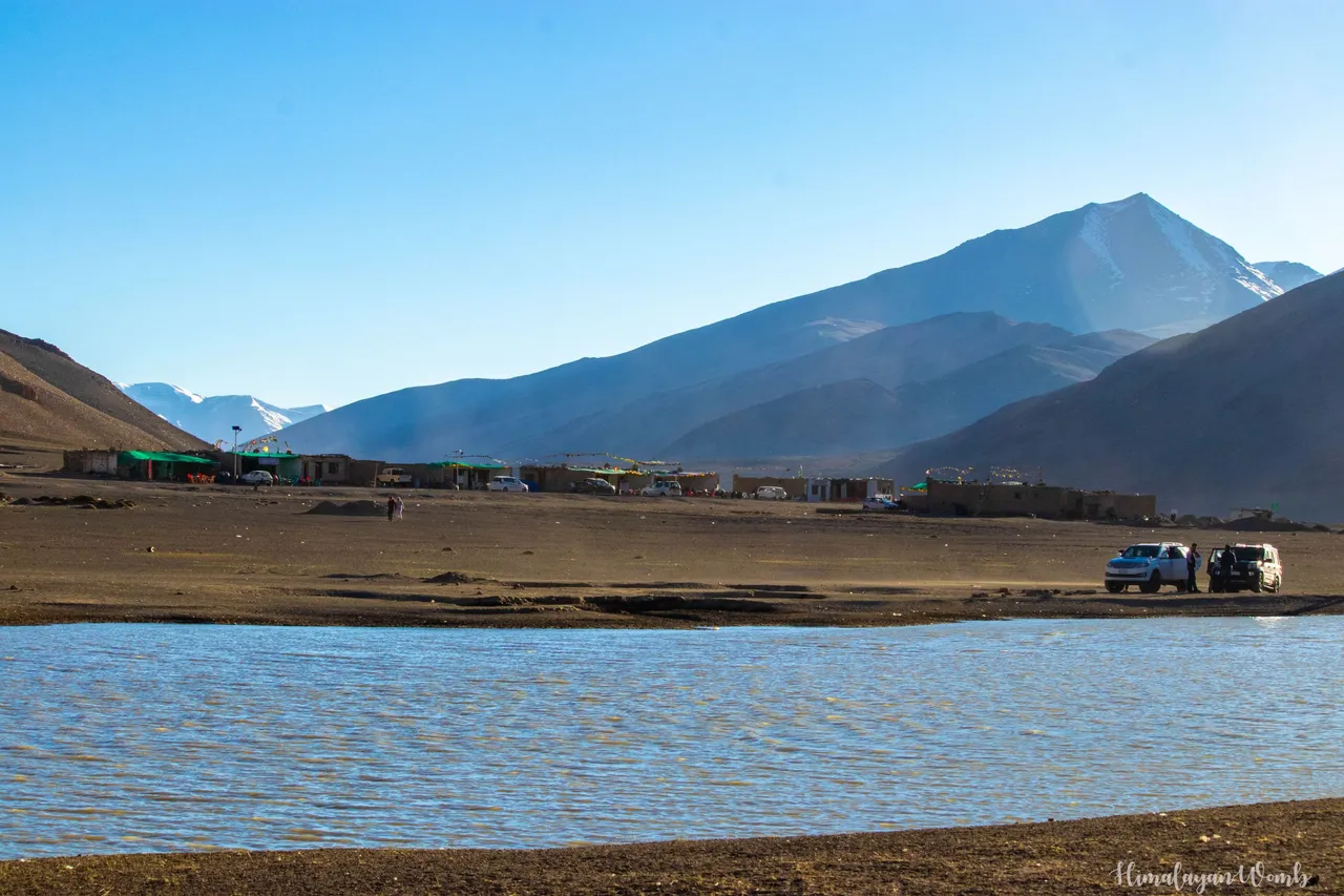
An artificial lake has been made in Maure Plains, the purpose of this lake is only that animals can get drinking water. Because the altitude is so high that drinking water is not available for animals everywhere, so animals have to travel long distances, because of this they have to go far away from their children and homes, sometimes animals go on such long journeys. Himalayan bears and snow leopards also become prey. So to solve all these problems, a lake was constructed in Maure Plains where all the animals drink water for the last few years, and now flocks of migratory birds have also started coming here.
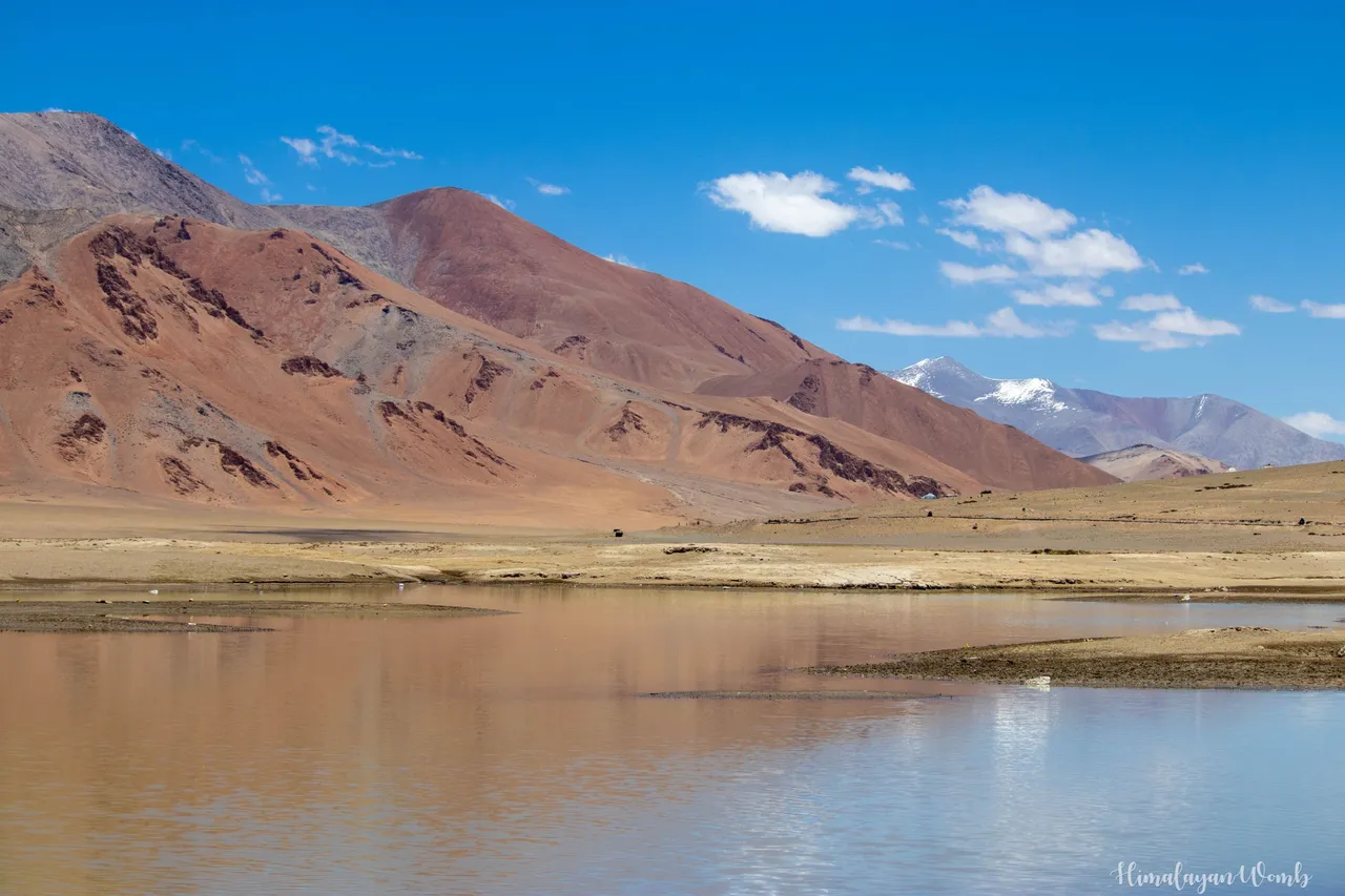
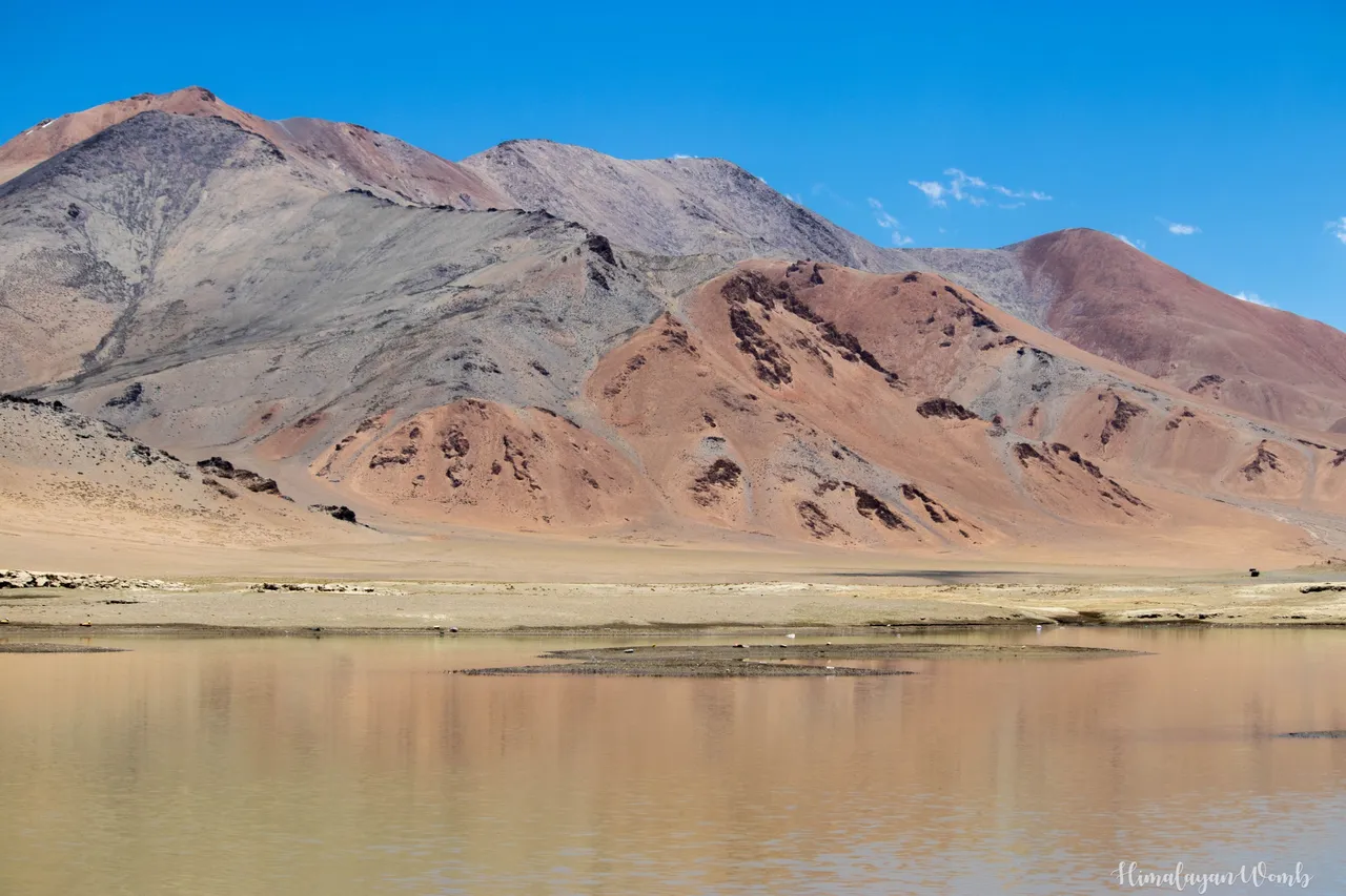
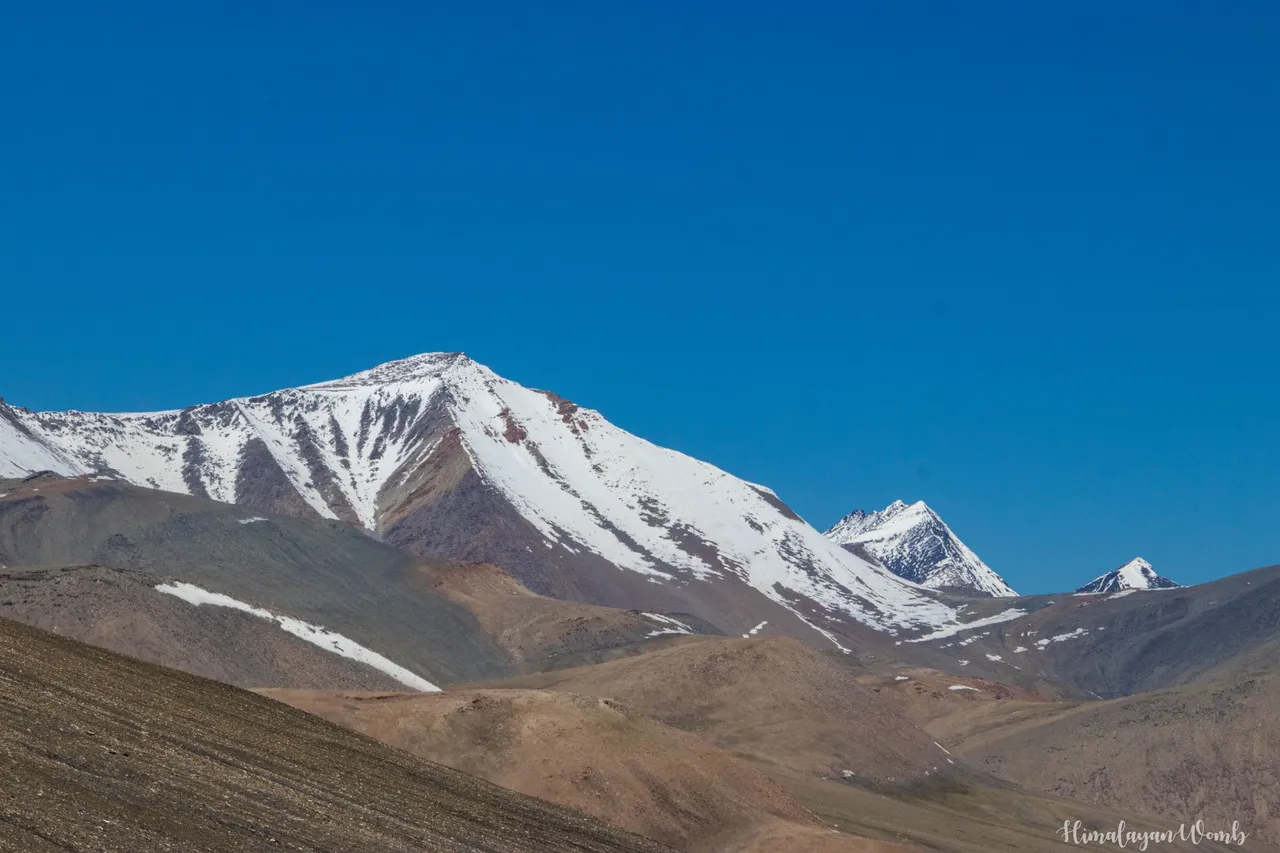
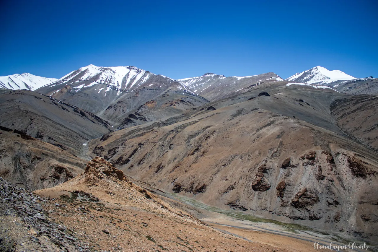
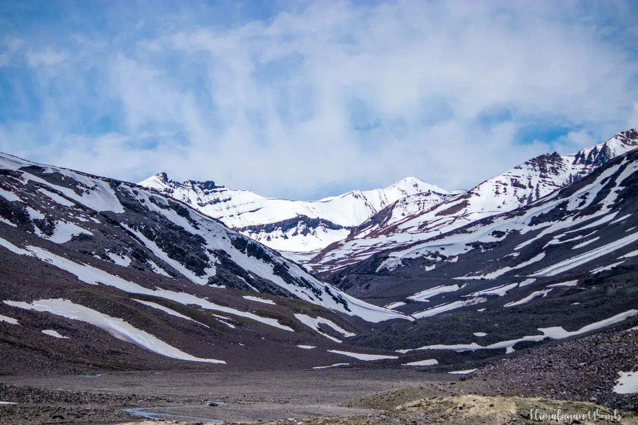
The amount of minerals is very high in the mountains of Ladakh, so many colors are seen in the mountains here, such as orange color, red color, every color, gray color, yellow color, light blue, magenta color and pink color. You can also enjoy these colors in the photos. The height here is much higher than the sea level, more means 5319 meters and snow falls from 40 to 60 feet at this height. Every year during winter this highway is closed for all. The highway is opened again every year in the summer, it also takes 2 months to open it.
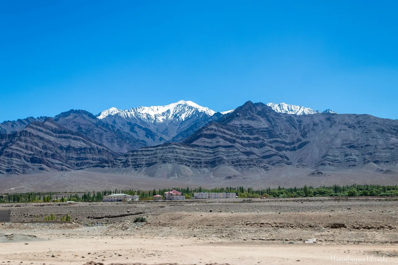
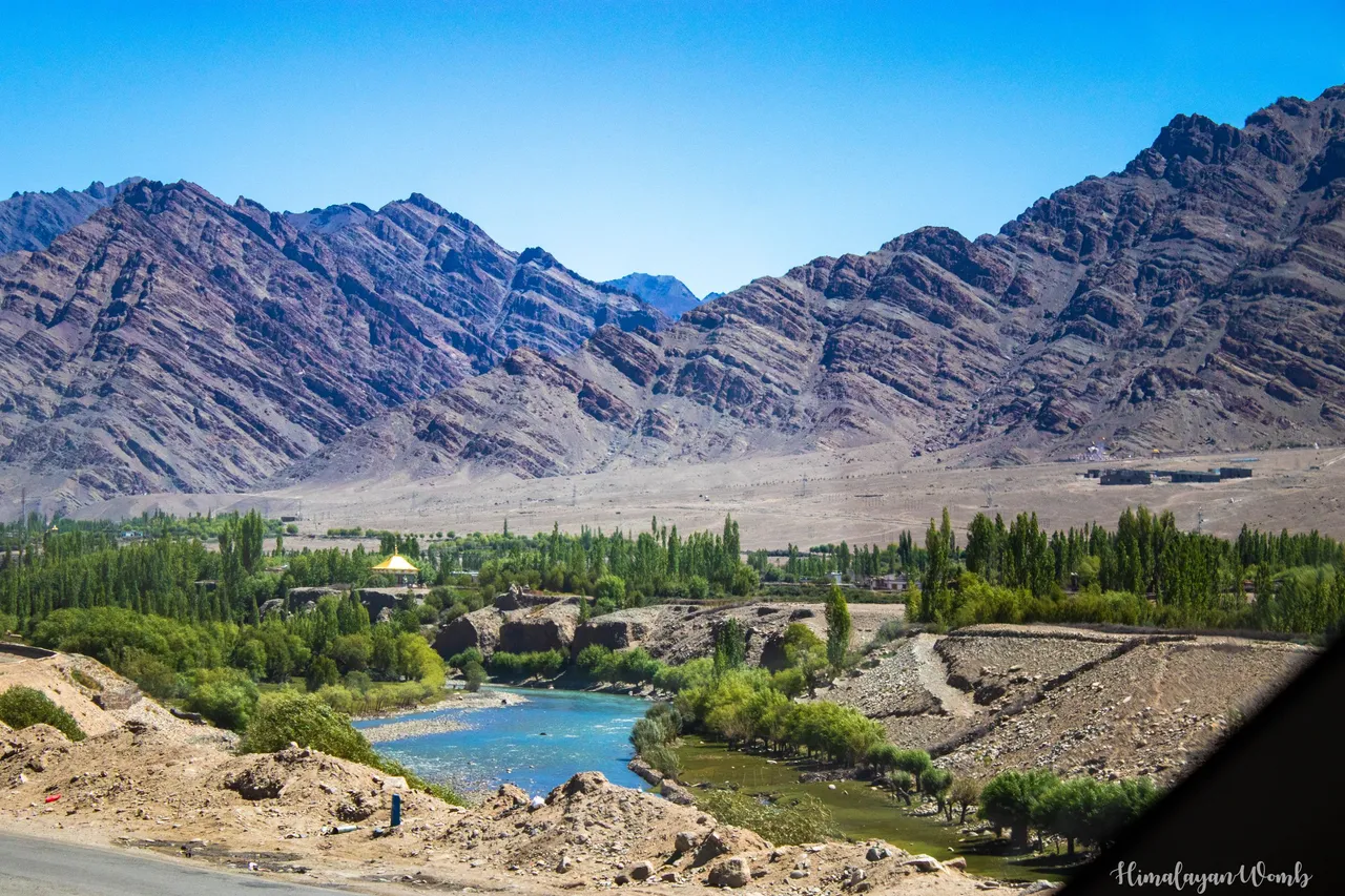
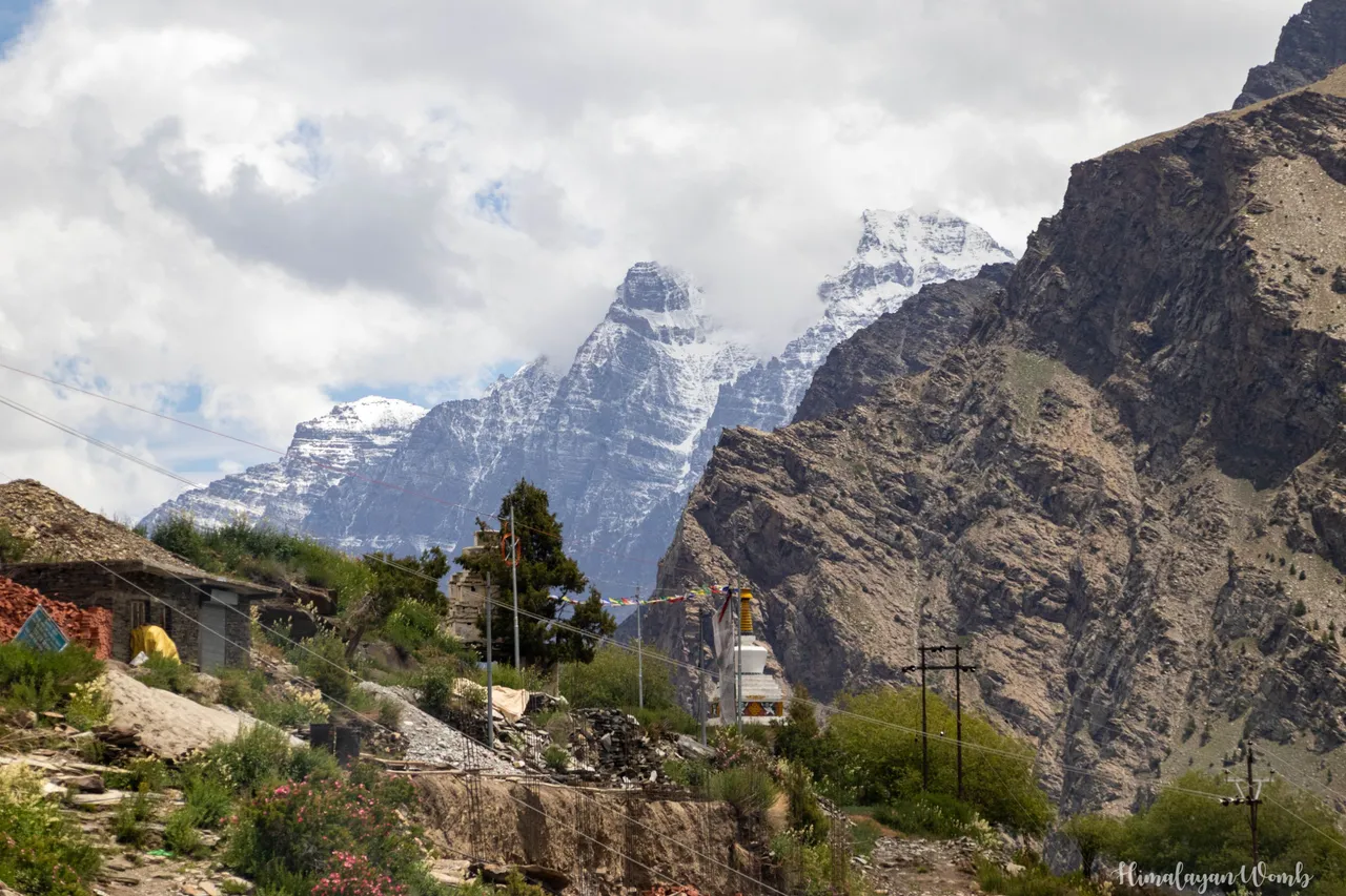
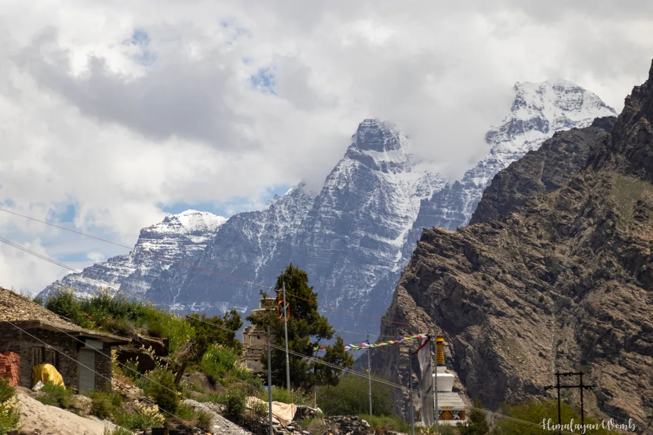
In some photos you can see the greenery, behind this greenery is the contribution of the local people. Because there are no employment opportunities here, everything depends on tourism here. Because the height here is very high and there is no greenery at all, that's why tourists used to come less here. So that more tourists come and the possibility of employment increases, so the local people planted trees here, at least there is so much greenery in Leh that tourists do not have much breathing problem.
Lahaul Valley is a charisma in itself. This is a suitable place for farming, so now along with the cultivation of vegetables, apple crop has also started here. In the photos you can see the scenery of Lahaul valley. There are two lakes touching this highway, first Deepak Tal and second Suraj Tal. In the photos you can see the beautiful view of Suraj Taal where Suraj Lake is sleeping like a small child in the lap of snowy mountains.
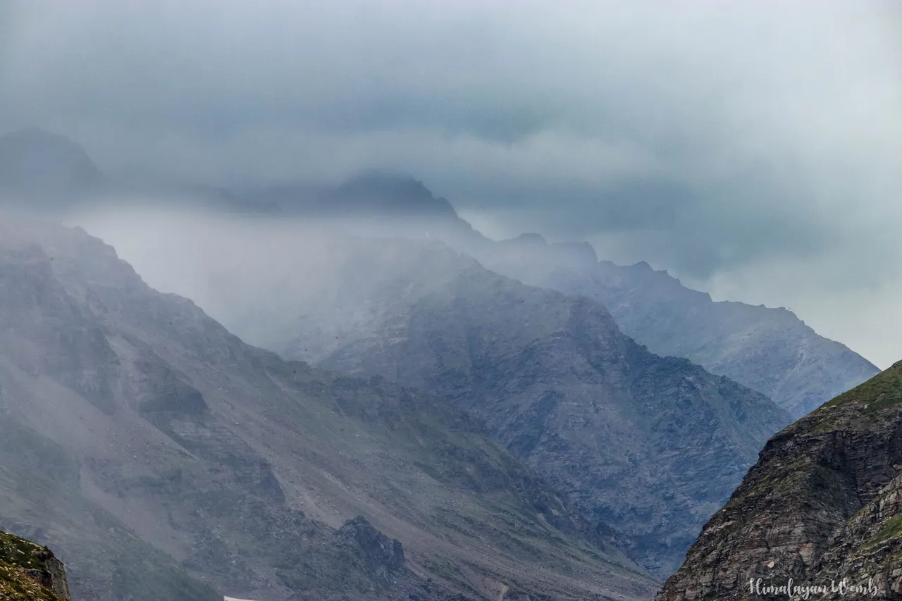
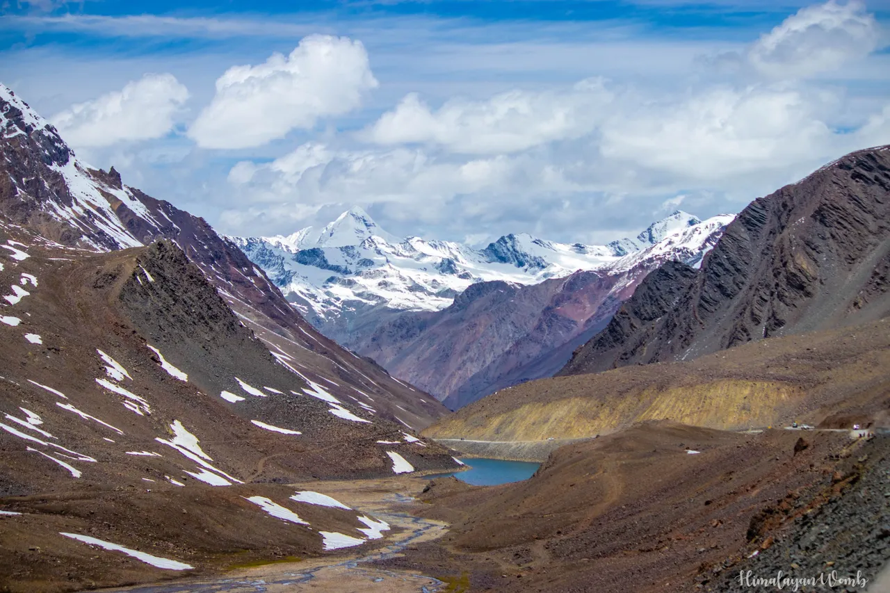
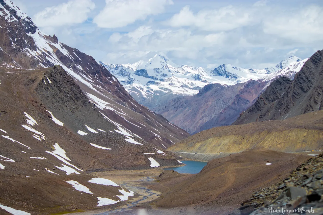
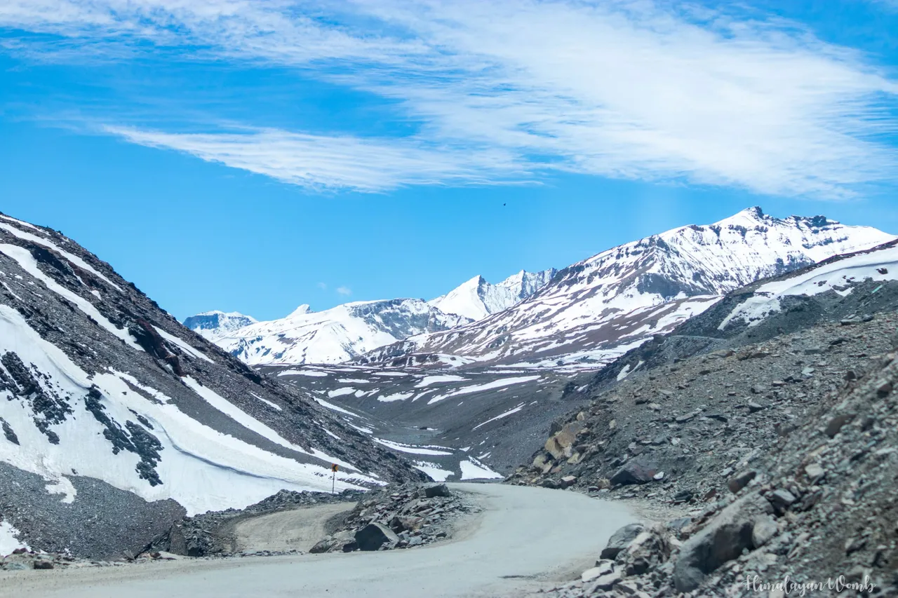
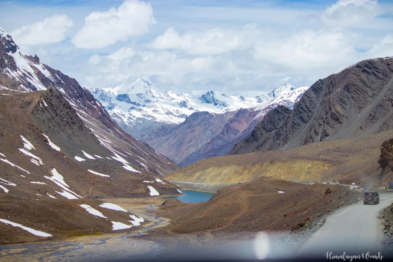
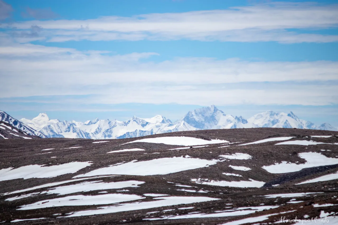
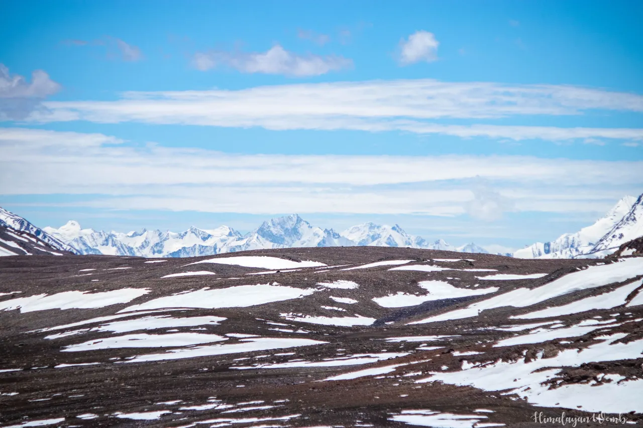
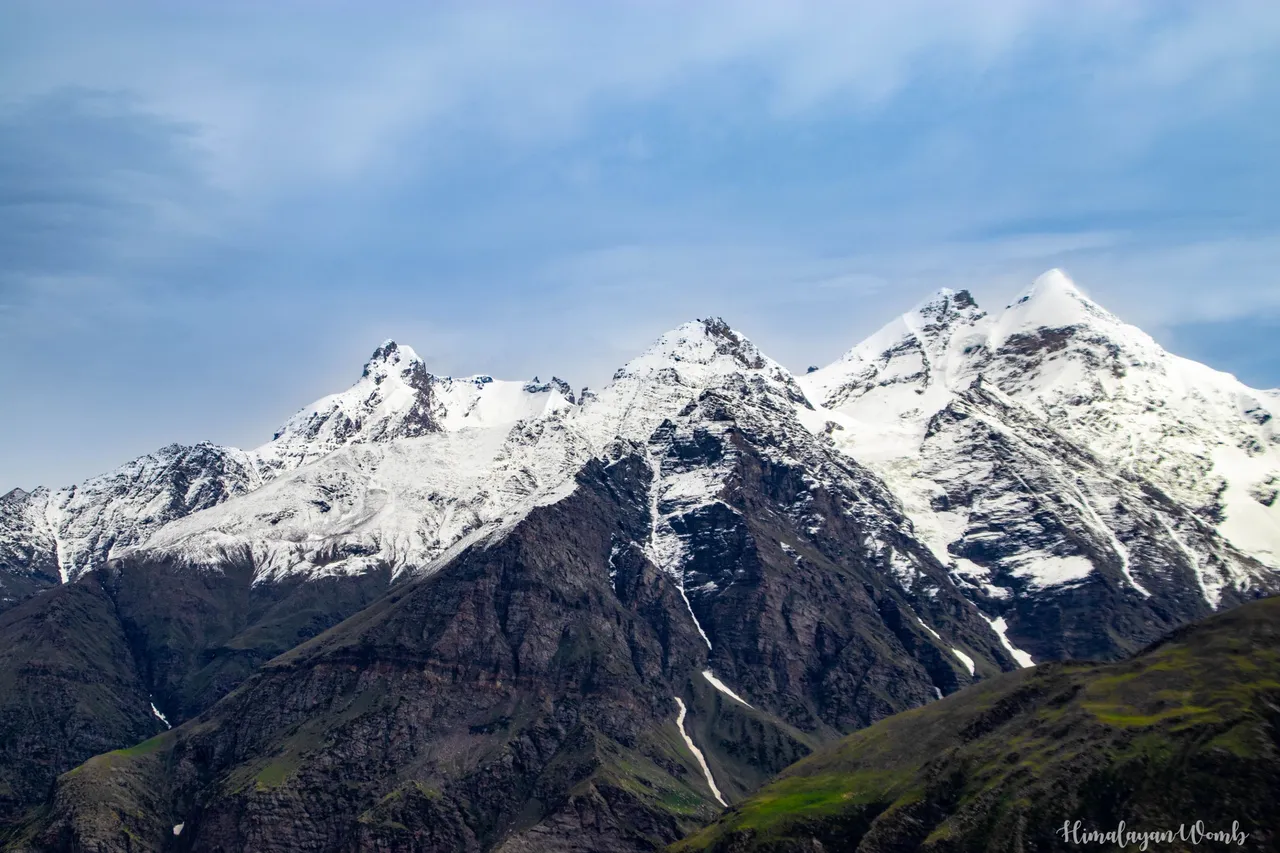
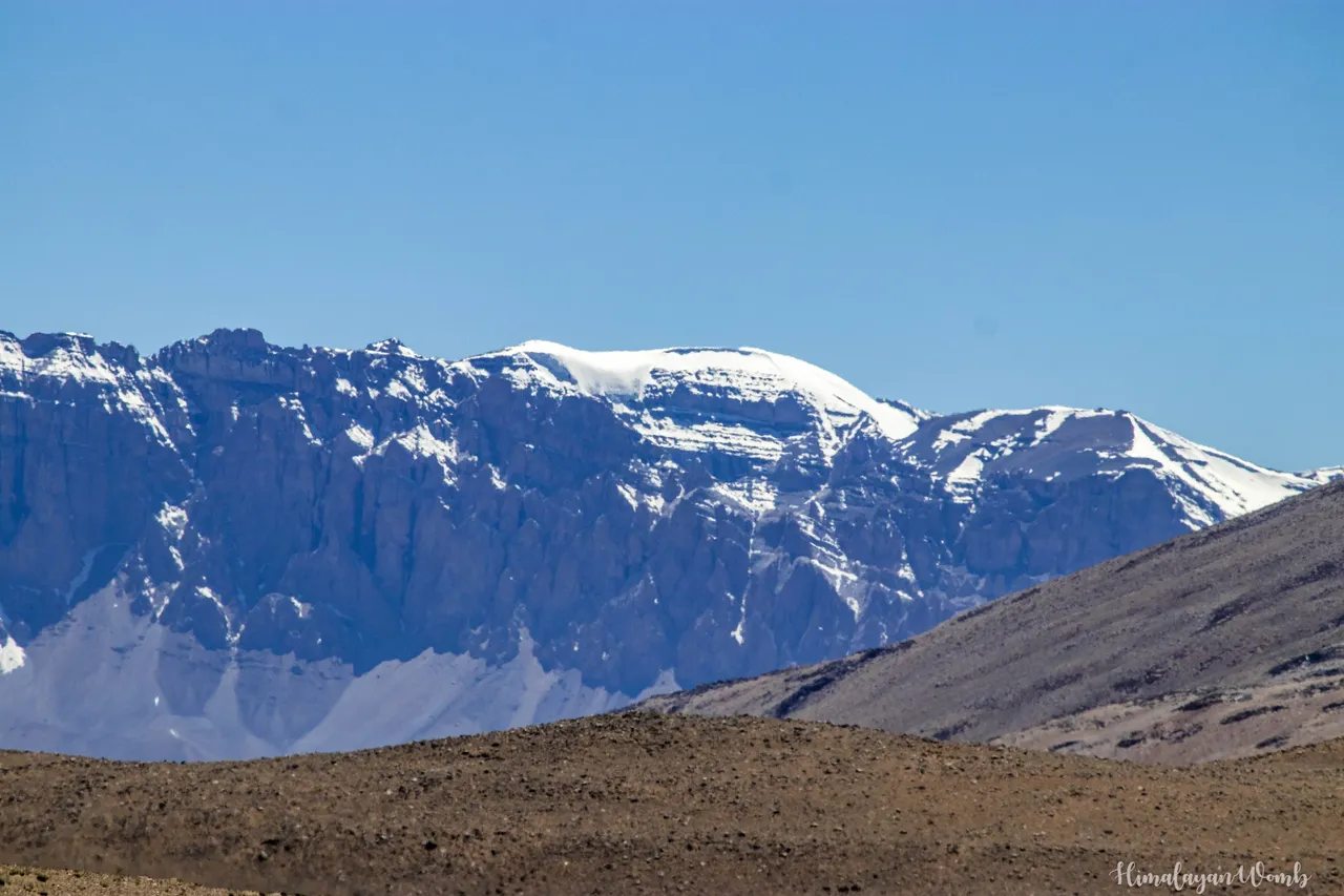
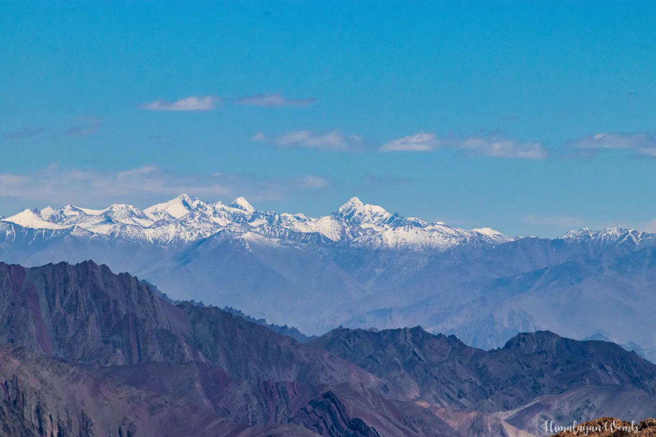
In some photos you can see the mountain peaks visible in the distance, believe me these peaks are more than 7000 meters high. The highest peak of Ladakh named Saser Kangri has a height of 7742 meters and this peak is situated on the world's coldest and most dangerous glacier named Siachen.
That's all for this post, I hope you liked all the landscapes located on Manali Leh Highway. Have you ever seen colorful mountains? If yes then comment and tell which was that place. Thank you, have a nice day.
Disclaimer: All photos are clicked by me (himalayanwomb), All photos are clicked with Canon 77d, Photos are edited in Lightroom. This blog has been written in Hindi and translated into English for which the help of Google Translate has been taken. And yes I proudly say this post is AI free.
If you like this series then other posts of this series are as follows;
Post 01: Shepards the Ice Keeper of Indian Mountains
Post 02: Guardians of the Cold Desert - A Glimpse into Nomadic Life
Post 03: People at 4600 Meters
Post 04: The Epic Saga of 2-Stroke Auto Rickshaws
Post 05: Temples, Monasteries, and Breathtaking Landscapes of Lahaul Valley
Post 06: A Magical Place in the Mountains
Post 07: Cycled to Second Highest Motorable Mountain Pass which is 17446 ft high
Post 08: The Haunted History of Naki La's Truck Driver
Post 09: Leh A Land of Monasteries, Peaks, and Lakes
Post 10: Truck Accident Occurred Between 40-Foot High Ice Walls on Rohtang Pass which means 'Pile of Corpses'
Post 11: A nomadic tribe that lives amidst storms
[//]:# (!pinmapple 32.79144 lat 77.31970 long Manali-Leh Highway : A Journey Through Picturesque Landscapes of Trans Himalayas (22 Photos) d3scr)