I've tried to make sense of this weather satellite image, out of curiosity, not of necessity, because who needs that with all the smartphone apps and weather reports, if they don't work in the meteorology field?
Click on the image if you have the same curiosity.
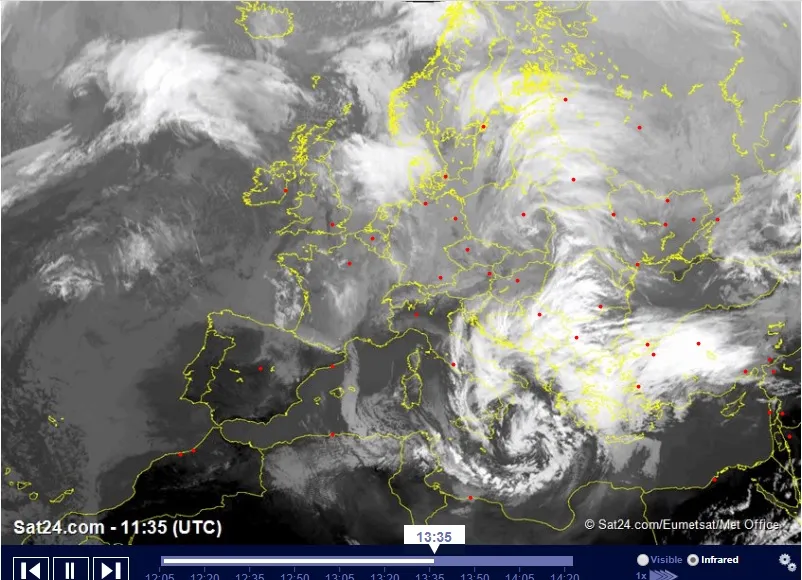
Personally, I haven't figured out where it's merely cloudy, where it's snowing and where raining, just by looking at that image. And nor should I, because it contains only a fraction of the information forecasts are made with. Of course, if we corroborate with the temperature, we know if it's snow or rain or a chance of both.
But I still don't know if a spot means clouds or there are precipitations in the area. I don't know what has gotten into me, but I wanted to dig more about it, and here's what I found out. Apparently there's a radar that 'sees' the rain/snow wave coming.
Now that I'm more or less clear about that and satisfied my curiosity, I should get back to doing something productive.
Oh, and how I got to talk about this topic today? Well, it's all over the news and on people's minds here, I thought I shouldn't miss out on the window of opportunity to do what everybody else is doing.
Joke aside, every few years we get a nasty winter in Romania. This year seems to be one of the lucky ones.
I live in an area somewhat protected, with hills on all sides. So we rarely have a harsh winter inside the town. Even so, we had plenty of precipitations, and the landscape turned from gray to white and back at least four times already, if I counted right. Now it's covered in white again. And keeps snowing.