TRIBUN-BALI.COM- Mount Agung erupted again at 21:04 Wita, Monday (2/7/2018).
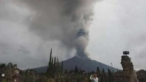
According to PVMBG data, the eruption caused the height of the observed ash column to reach 2,000 meters above the peak (± 5.142 m above sea level).
The gray columns were observed in gray with a thick intensity leaning towards the west.
This eruption is recorded in the seismogram with a maximum amplitude of 24 mm and a duration of ± 7 minutes 21 seconds.
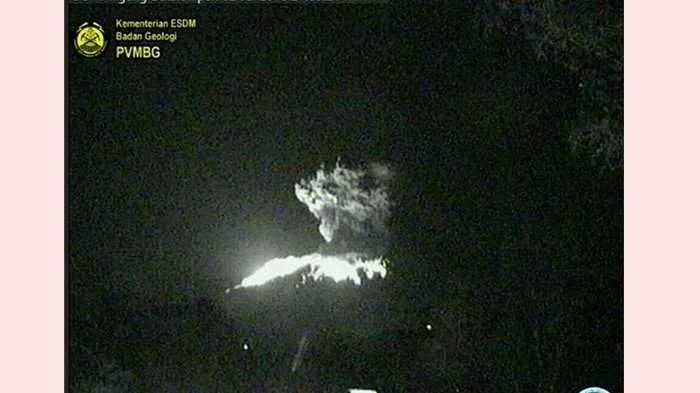
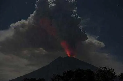
The eruption occurs strombolian with a banging sound.
Flares of incandescent lava observed out the crater reaches a distance of 2 km.
Currently Mount Agung is in Status Level III (Standby) with the recommendation:
- Communities around Gunung Agung and climbers / visitors / tourists not to be on the road, do not climb and do not do any activity in the Danger Estimate Zone, that is in all areas within a 4 km radius of Gunung Agung Peak Crater.
Estimated Zone The dangers are dynamic and continuously evaluated and can be changed at any time following the most recent / latest Gunung Agung observation data. - Communities living in and around the river flows that are located at Gunung Agung in order to be aware of potential secondary hazards such as rain lava flows that can occur especially during the rainy season and if eruption material is still exposed in the peak areas.
The area of the rain lava flow plot follows the streams of the upper stream at Mount Agung.