Hello everyone. Today I want to share my experience on the legendary Lycian way. The Lycian way stretches along the southern coast of Turkey. It starts around Fethiye and extends almost all the way to Antalya, with a total length of about 520 kilometers. Of course, such a long trail offers countless route options. Some aim to walk the entire path, while others choose to hike for a few days. Most people however, come for just a day or a few hours to see this famous trail. Today I will suggest two half-day routes that I think are perfect for getting to know the Lycian way. These routes require no special physical preparation, in fact almost no preparation at all.
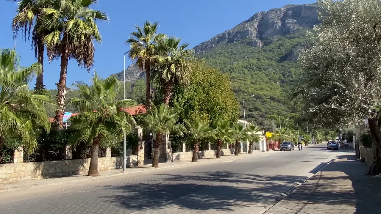
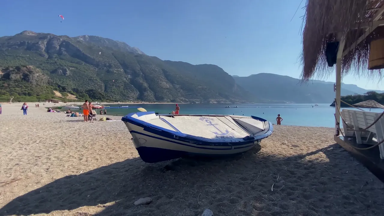
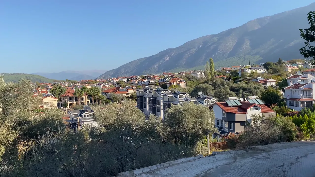
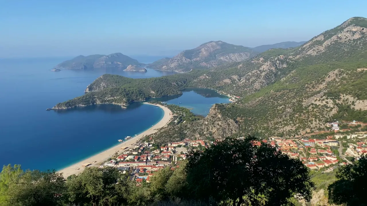
Our first route is a bit more mountainous. Our starting point is Ölüdeniz. I’ve mentioned this town in my previous posts. The lower part of the town is filled with hotels, bars, restaurants and a long beach with crystal clear water. This place is known as one of the most beautiful beaches in Turkey. The upper part of the town is located 350 meters above sea level. There are hotels here as well, but many residential homes too. We started our hike from this upper part. I have a separate post about accommodation and travel in Ölüdeniz, so I won't dwell on it here.
To follow the Lycian way without getting lost, I recommend downloading one of the trekking apps. I used maps.me for this purpose. This app shows almost all hiking trails, even some that barely exist. It’s useful to download the offline map beforehand because Google Maps isn’t very helpful here.
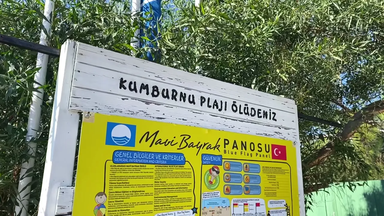
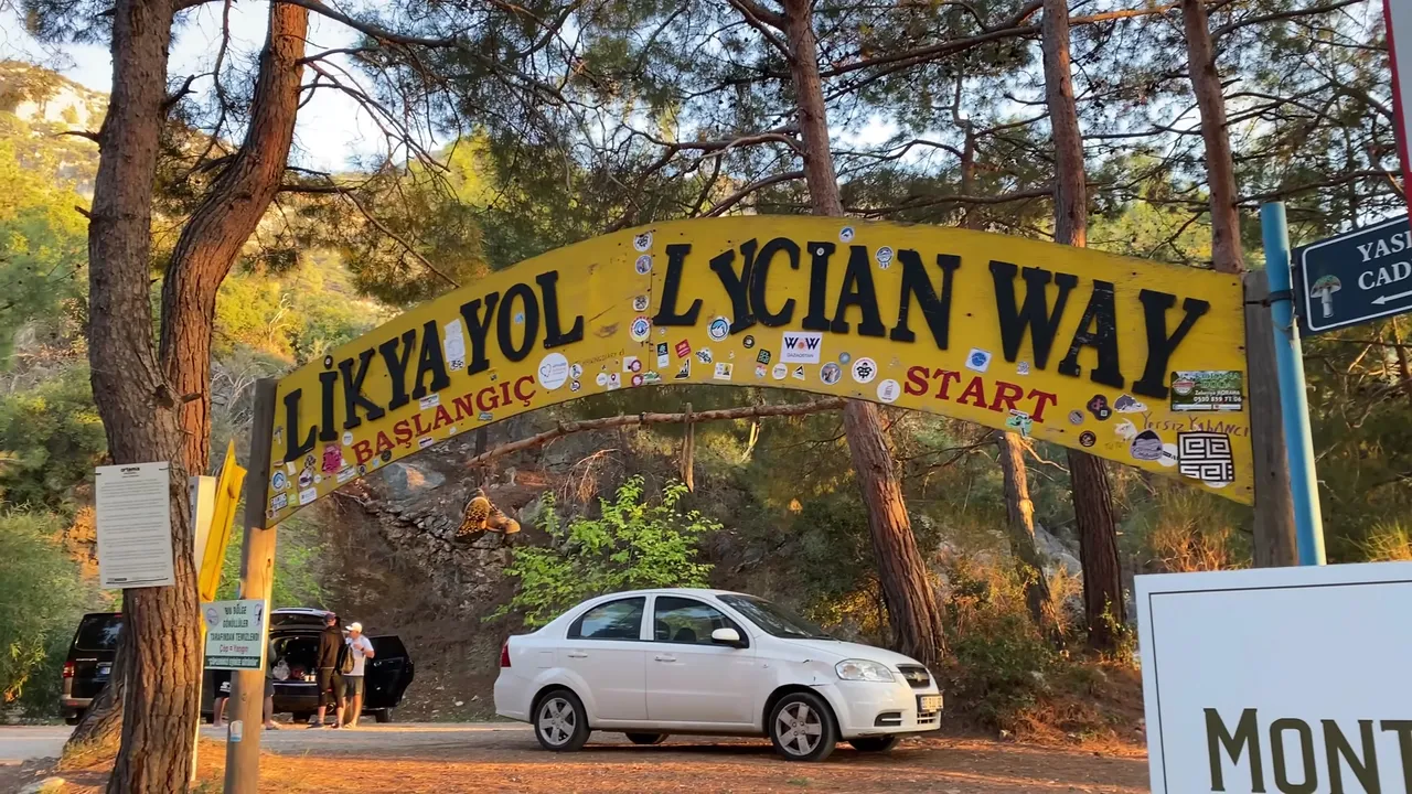
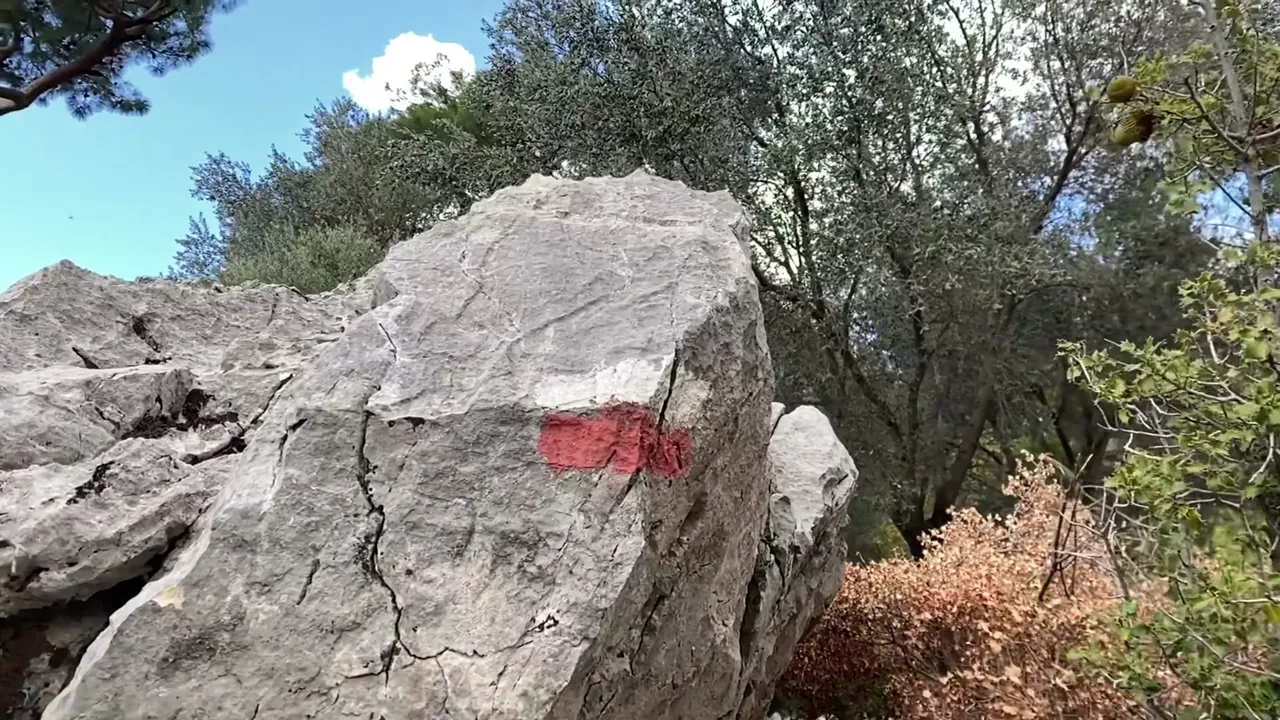
At the start of the trail, there’s a sign welcoming visitors. It’s a popular photo spot. Our hike began just to the right of this sign. The beginning is a bit odd because instead of a winding mountain path, we found ourselves walking on an ordinary sidewalk. There was hardly a trace of the legendary Lycian way we had expected. But we moved on.
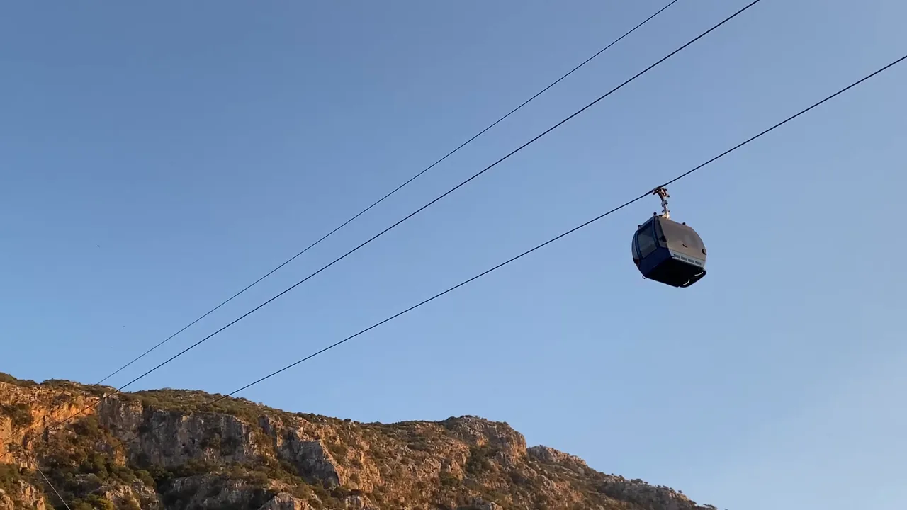
After walking about 300 meters, we passed under a cable car and came to a fork in the road. There’s a small directional sign here. We had to turn left. Honestly the mess at the beginning was a bit discouraging. There was some construction and household waste around. But we checked the map and yes, we were on the right path. We were now on the Lycian way.
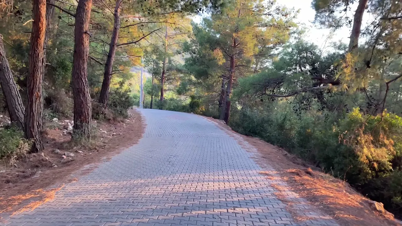
Here’s an important tip. The first part of the trail goes through shaded forest at the mountain’s base. Even if the weather is sunny, you might feel cold here. So take a light jacket or sweater with you. Especially if you start early in the morning, the sun remains behind the mountain and the air gets quite chilly. Later on, though, the sun will make you sweat.
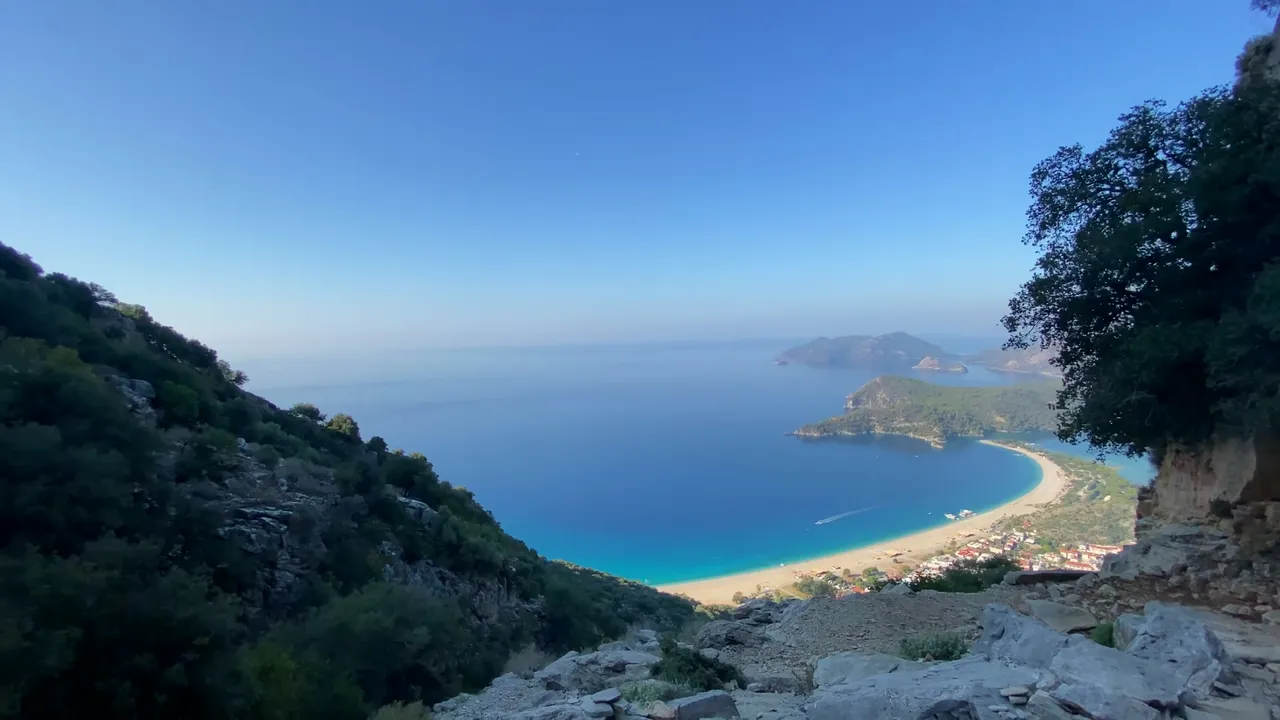
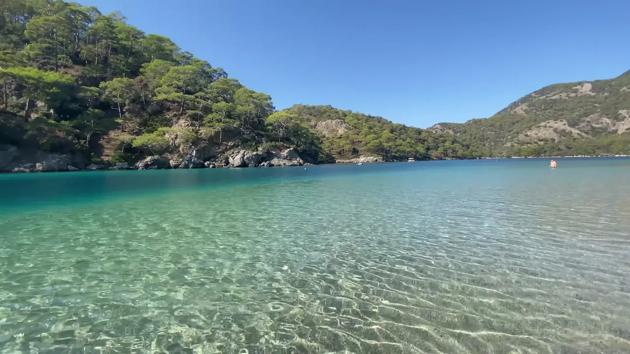
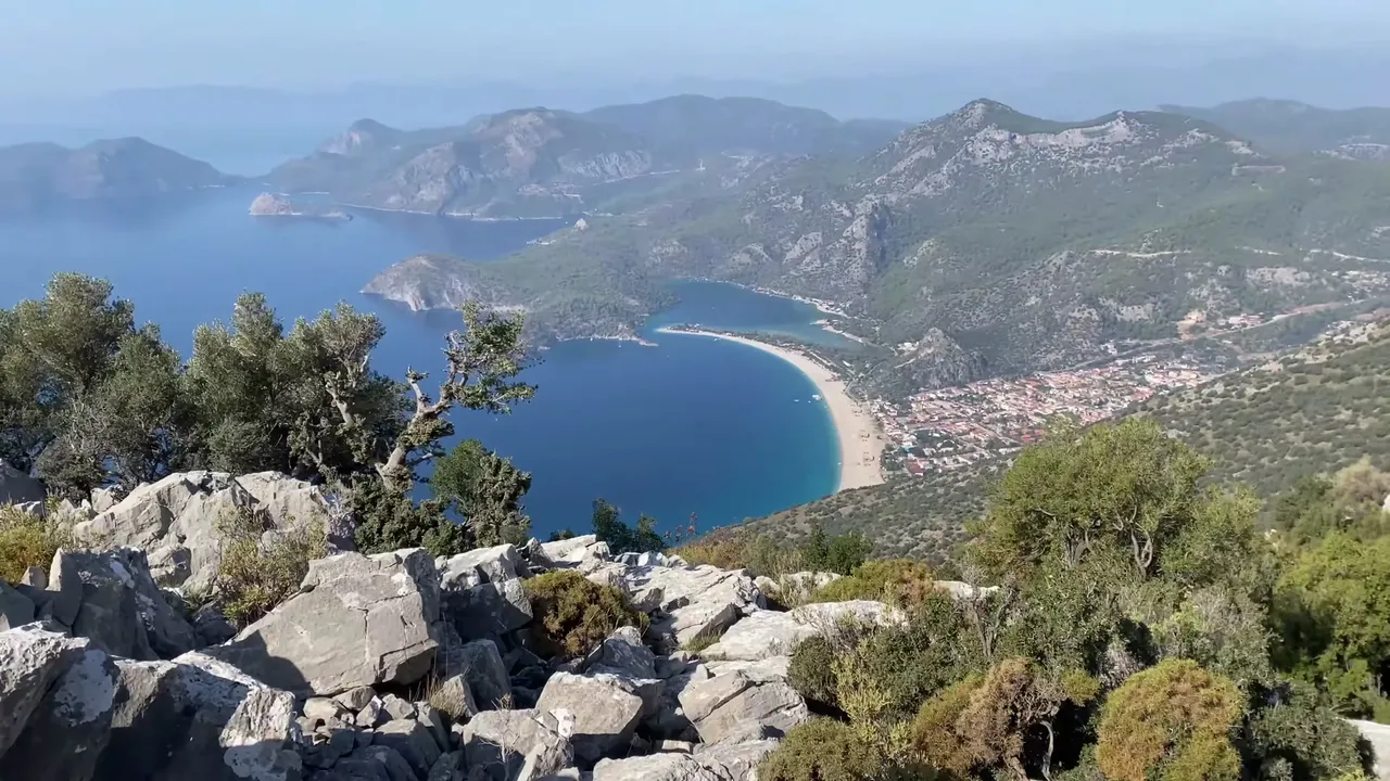
As we went on, the scenery lifted our spirits. Down below, we could see the beach and lagoon of Ölüdeniz. Many people come here in the evening to watch the sunset. If you’re short on time, this could also be a great option.
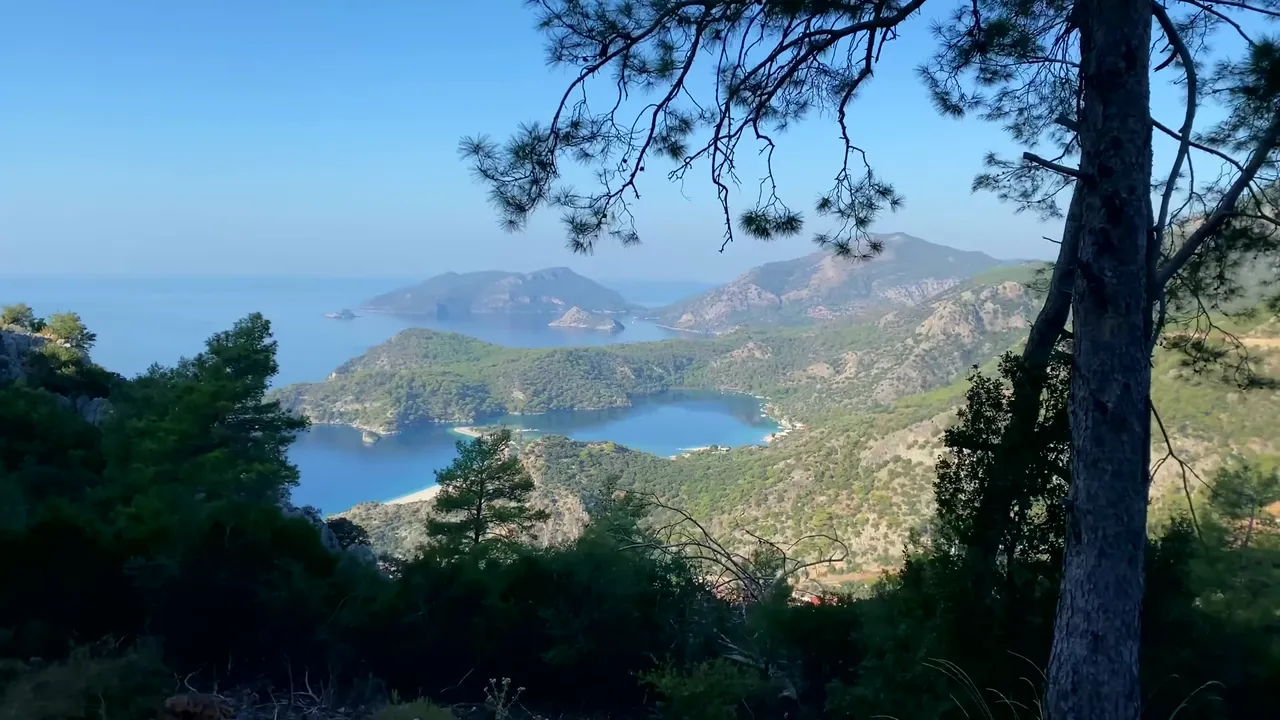
After about a kilometer, we reached the last viewpoint. From here on, the trail turns into a real trekking path. Having proper hiking shoes is a good idea because the climb gets steeper.
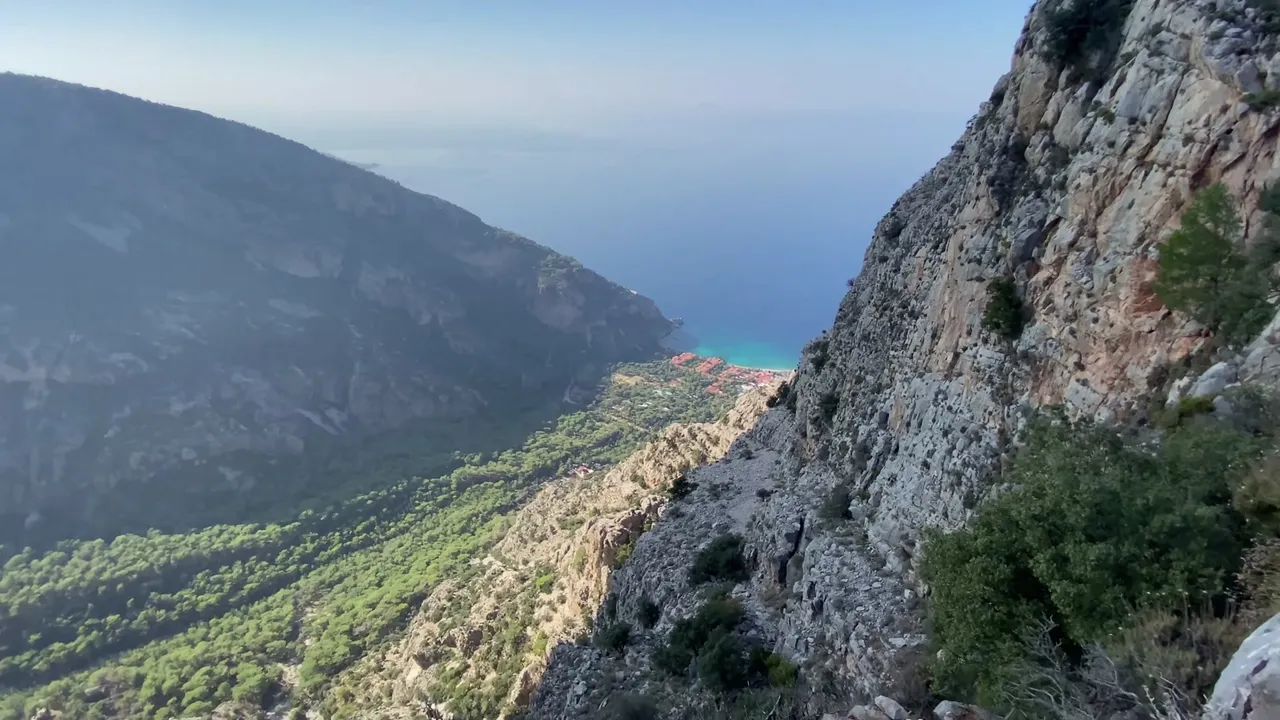
Up to this point, anyone can walk comfortably. The path is flat, safe and pleasant. But we continued our hike. The trail became narrower and walking side by side was difficult. Sometimes we had to walk in single file. To the right, there was a cliff and the view was breathtaking.
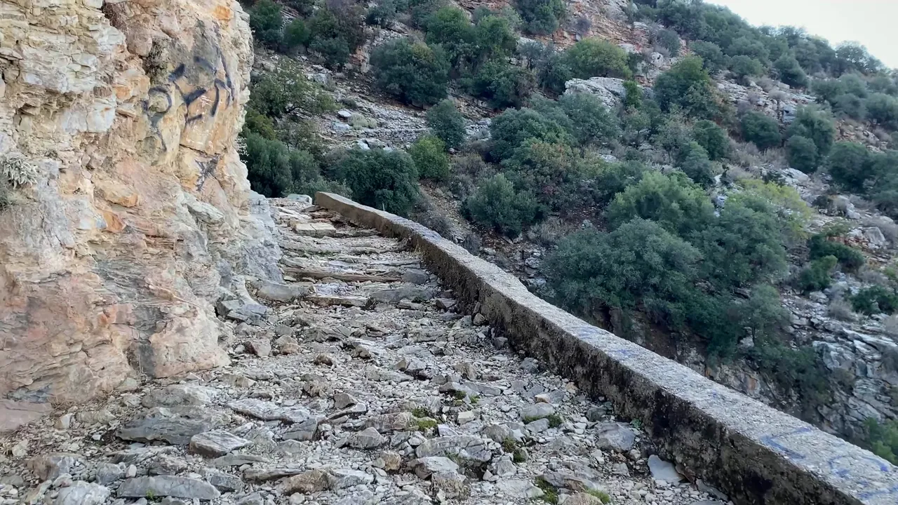
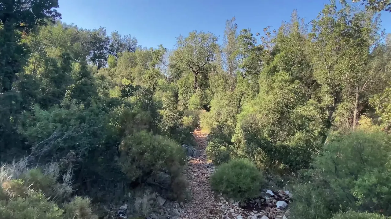
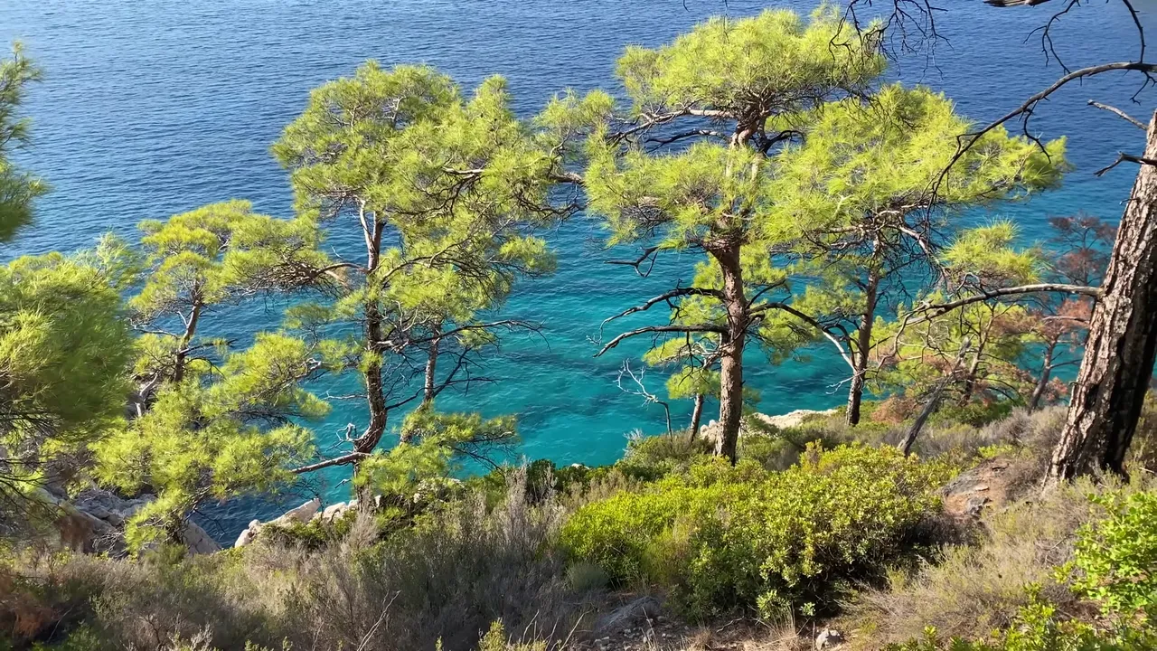
The trail continued through greenery for about 30 minutes. If you walk briskly, it provides a good workout. Even though the trees blocked the sea view, the smell of pines and olive trees made the walk enjoyable.
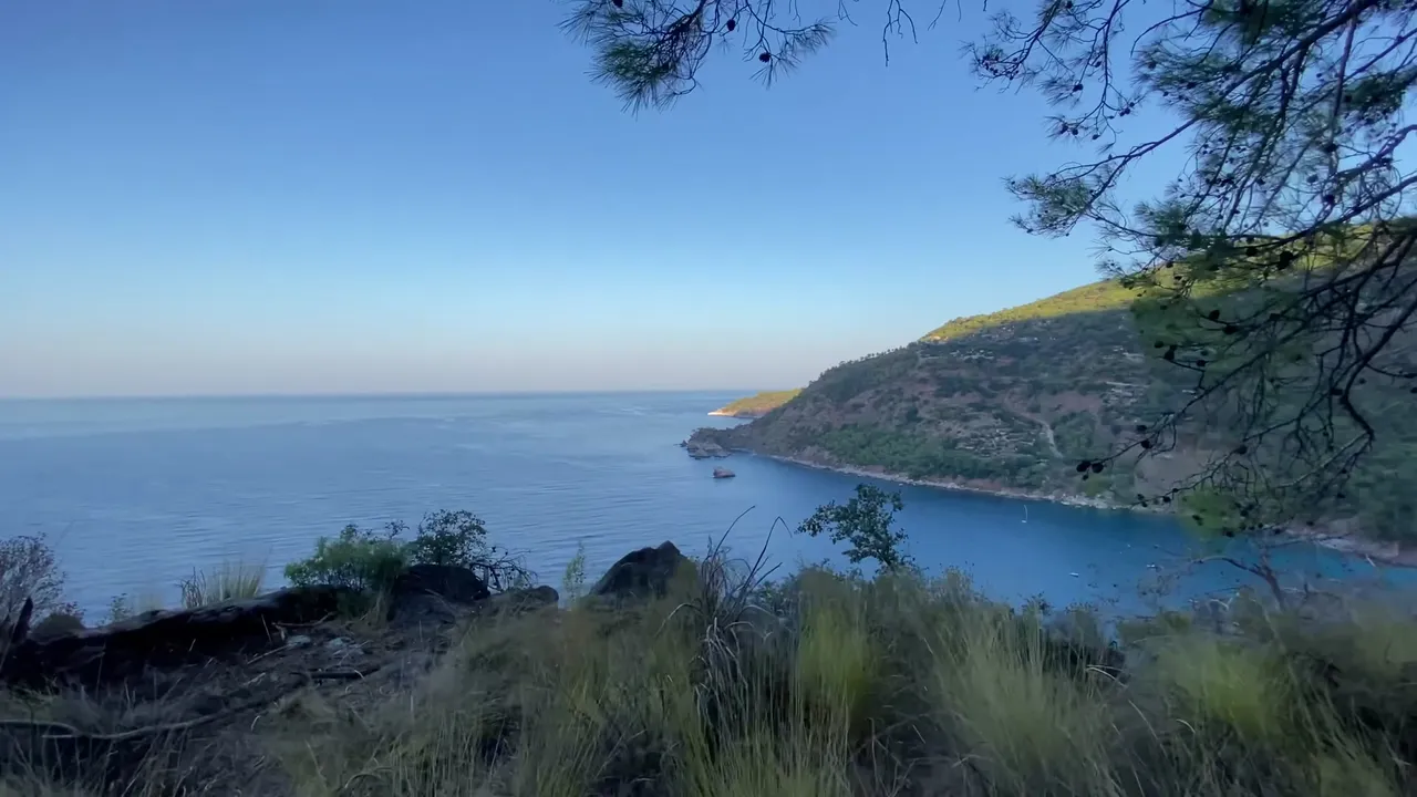
After 2.5 kilometers from the start, we turned off the main path and followed a narrow trail to a new viewpoint. It’s an ideal spot for photos. Some people camp here overnight.
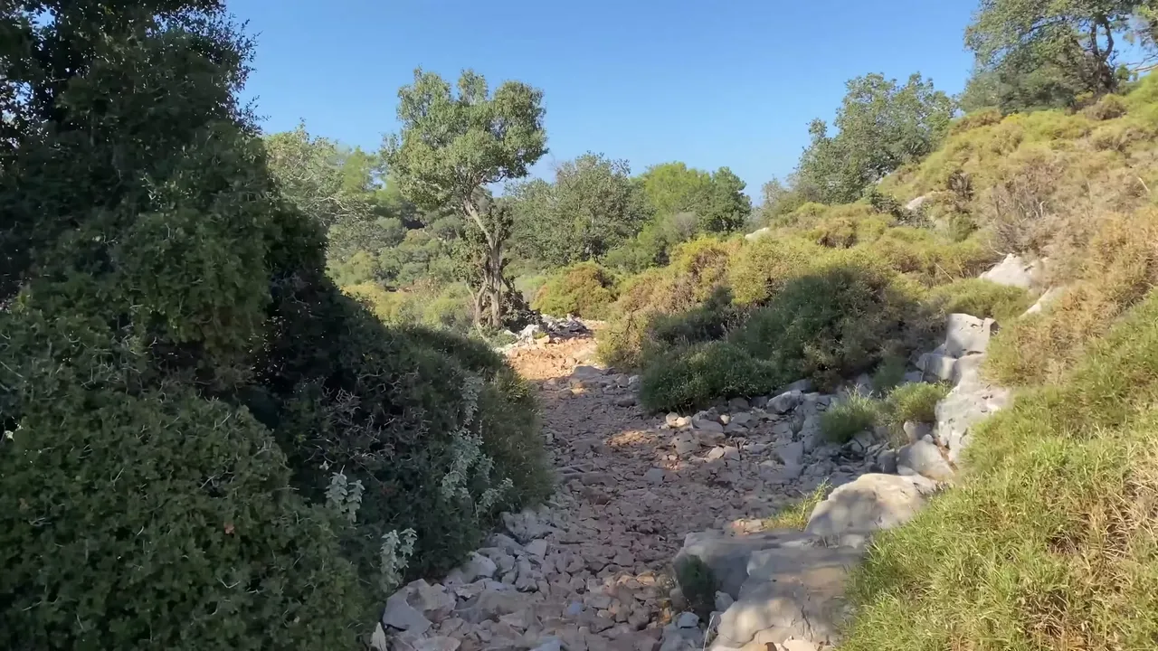
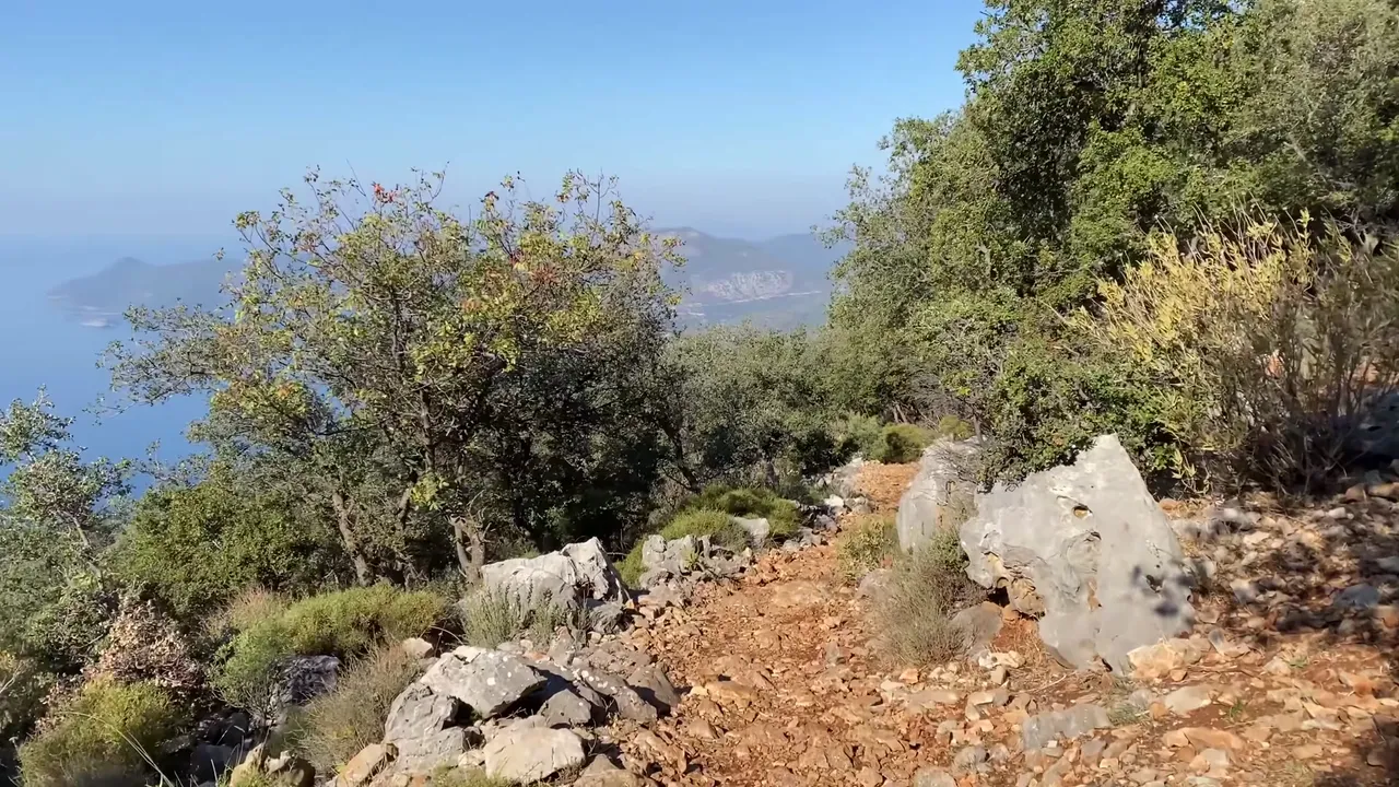
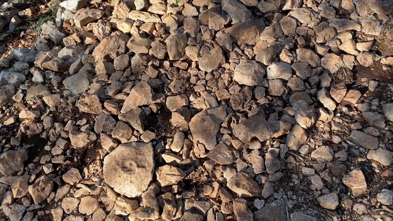
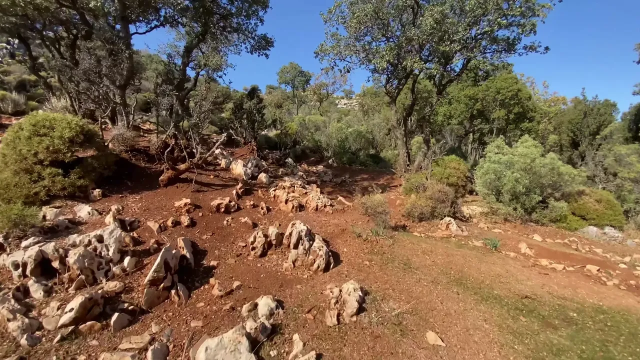
As we continued, the trail became flatter but the ground was rocky and dusty. You can walk with any kind of shoes, but hiking shoes or old sneakers are better. Otherwise, you might ruin your favorite pair. I learned this the hard way.
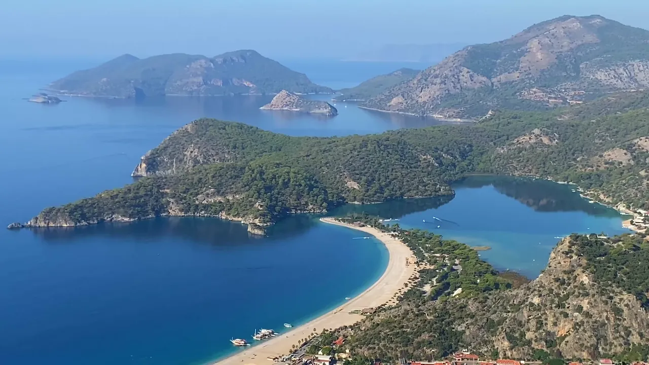
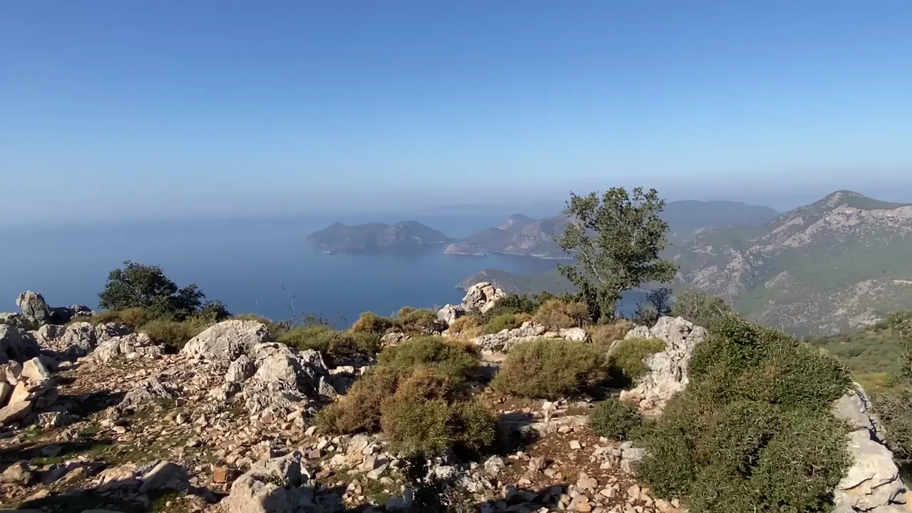
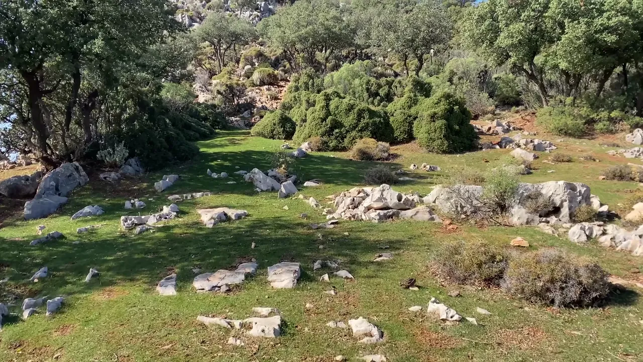
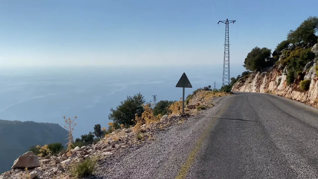
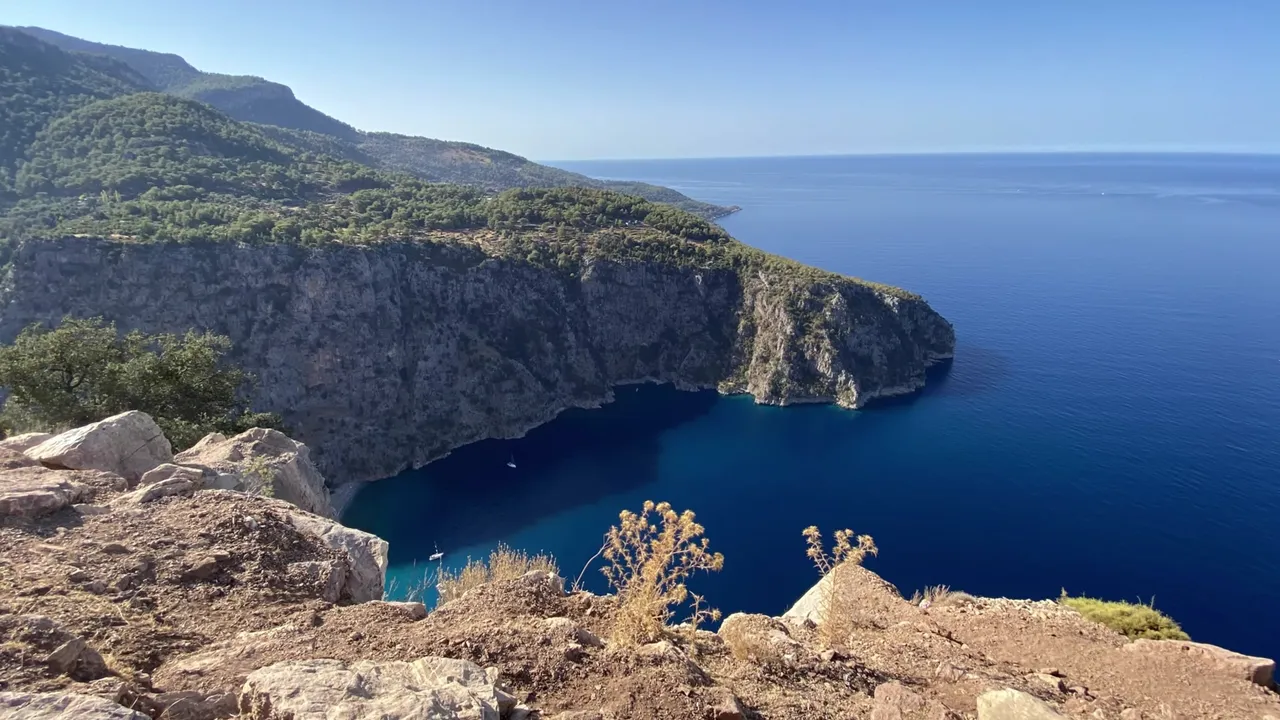
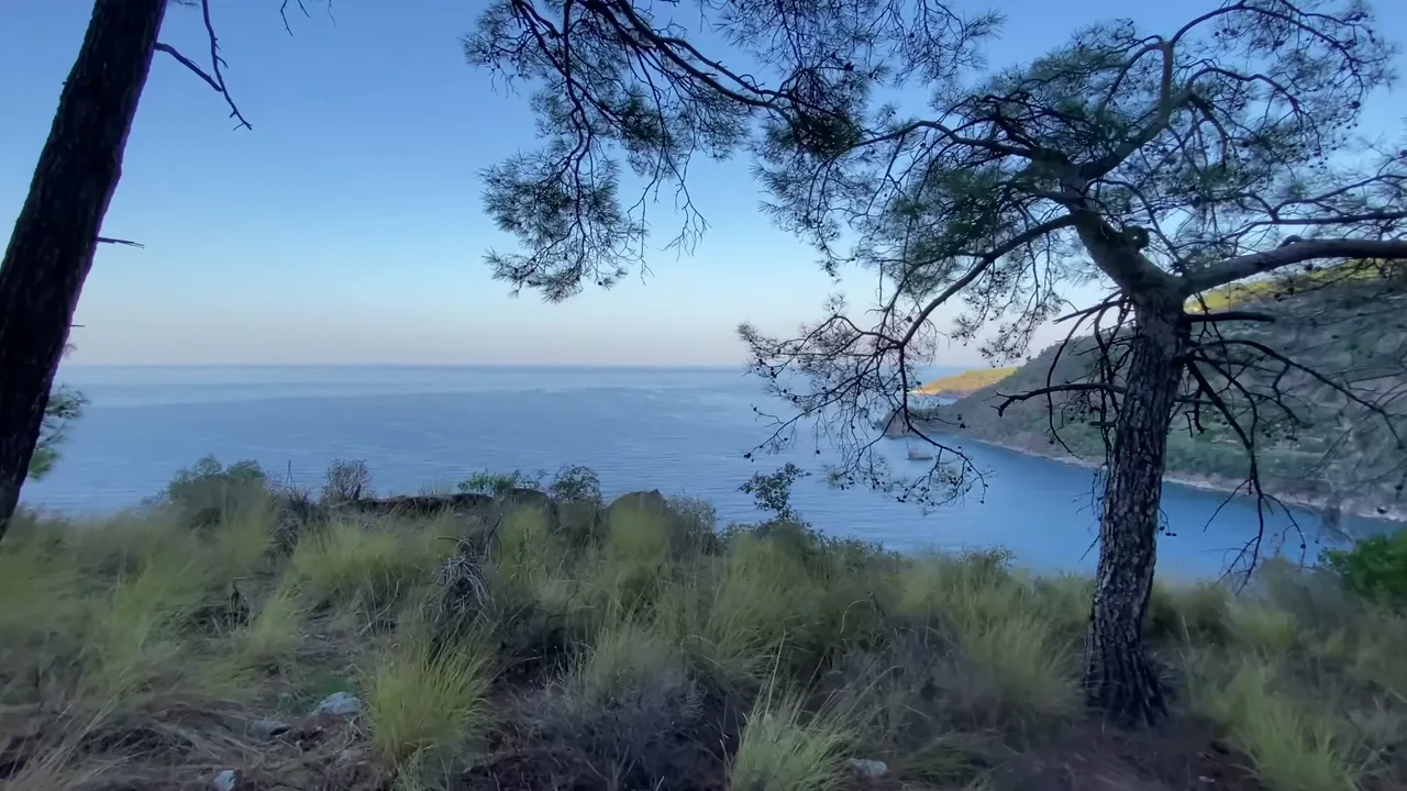
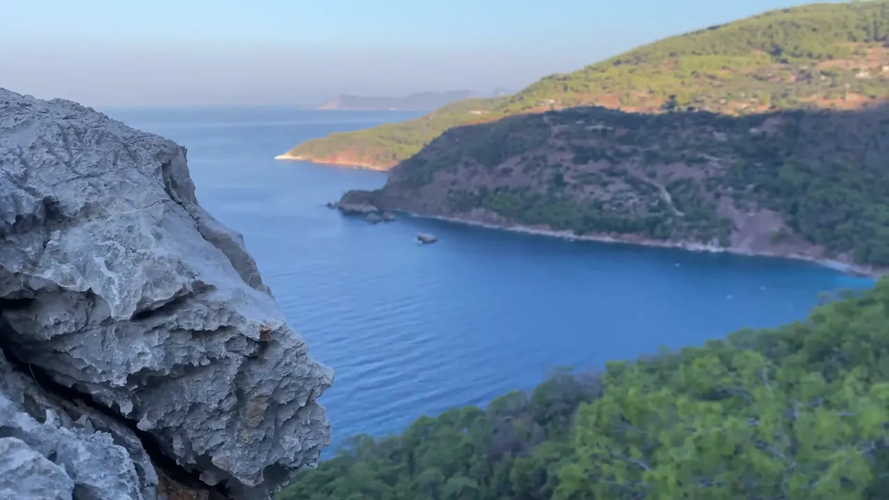
After a while, the ground became completely flat, even covered with grass in some parts. Again, we veered off the trail and headed toward the cliff. It takes about two hours to reach this point. The view was stunning. Down below, we could see the Liberty Hotel with its magnificent beach.
You can leave from here by car, since there’s a road about 300 meters uphill. But it’s also possible to continue walking. This is one of the most scenic points of the entire journey.
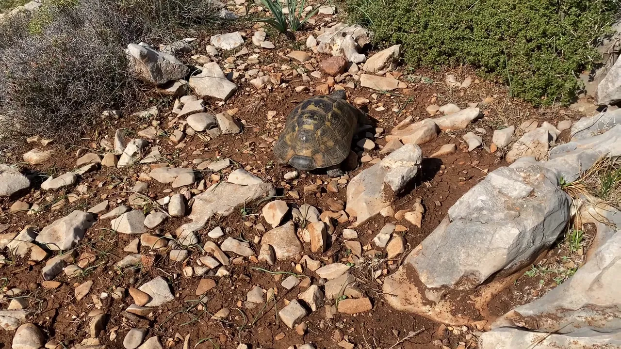
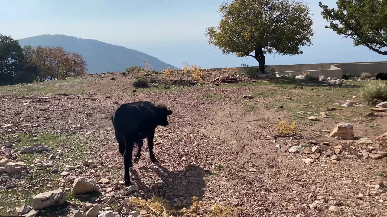
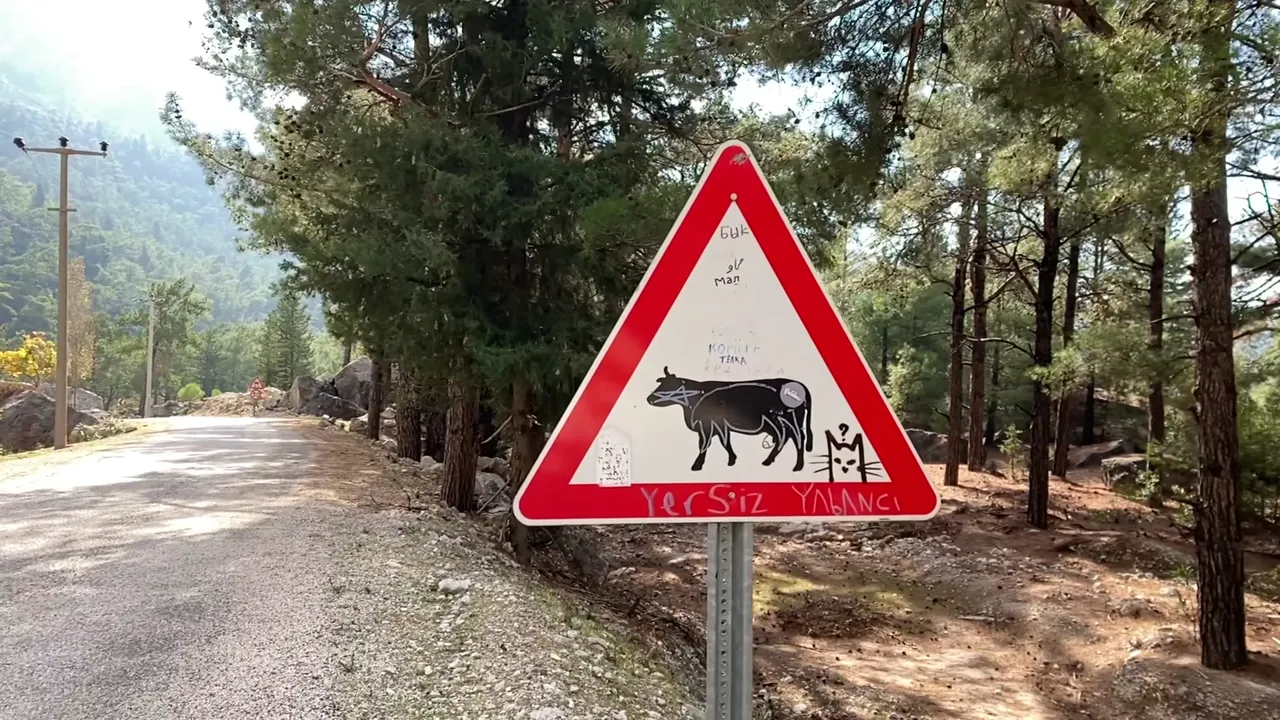
After this point, there’s another hill you can climb. We looked down at Ölüdeniz one last time. On the way back, we saw our first local creature: a small turtle. Then we came across some stray cows and bulls. There were a few unfinished buildings and construction waste, but before long, familiar signs and views appeared again.

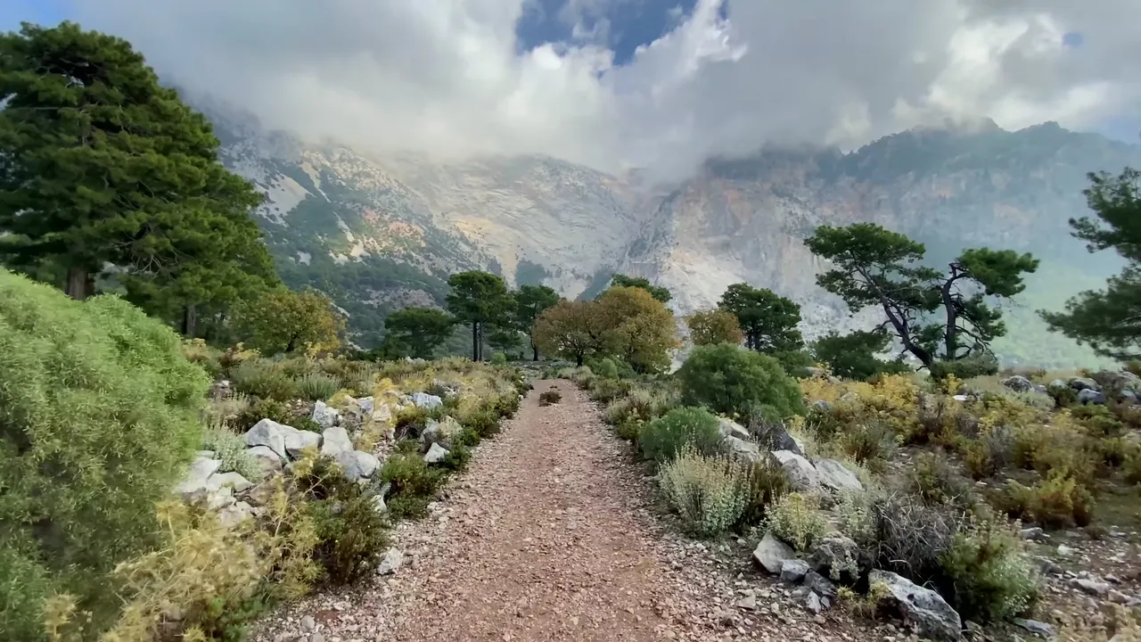
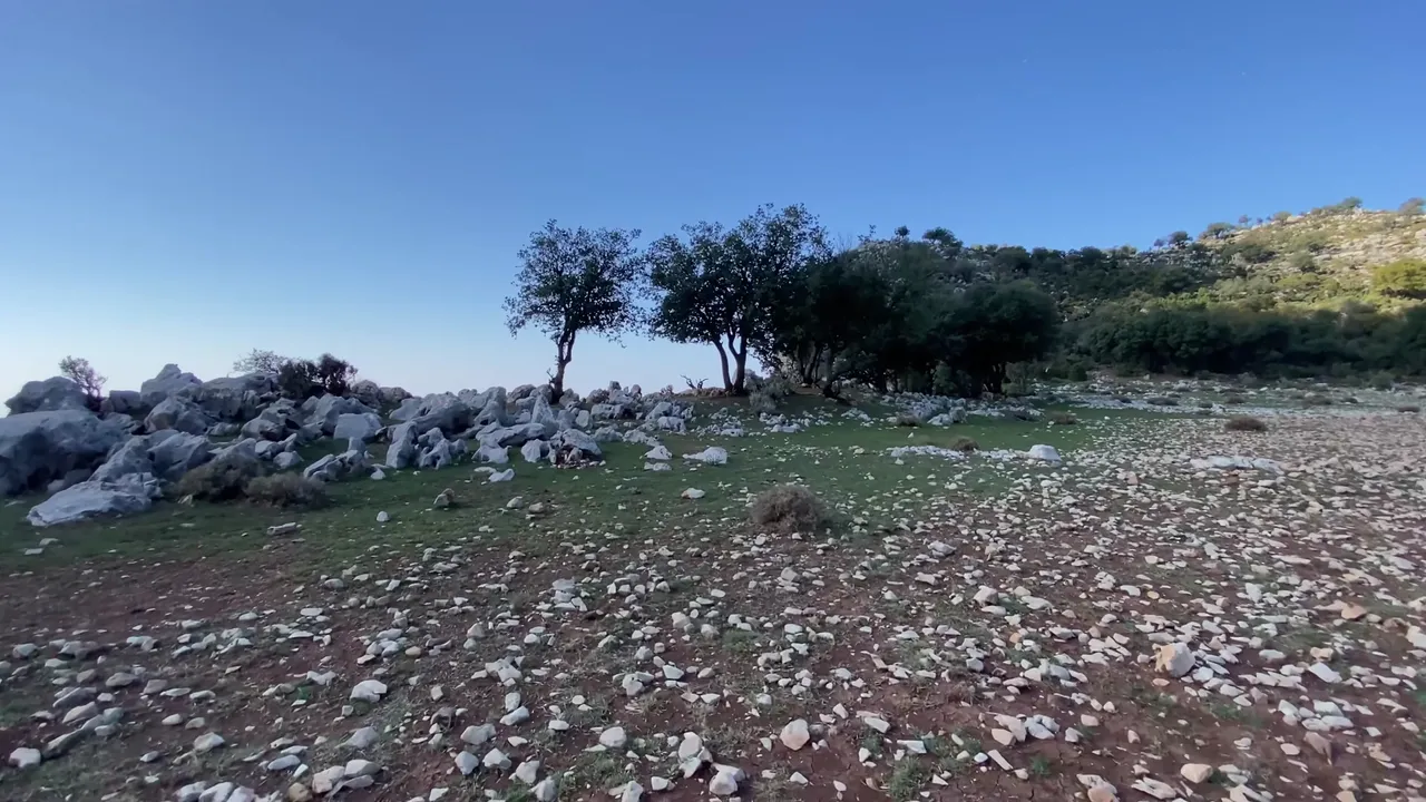
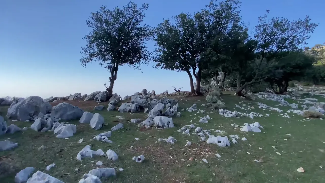
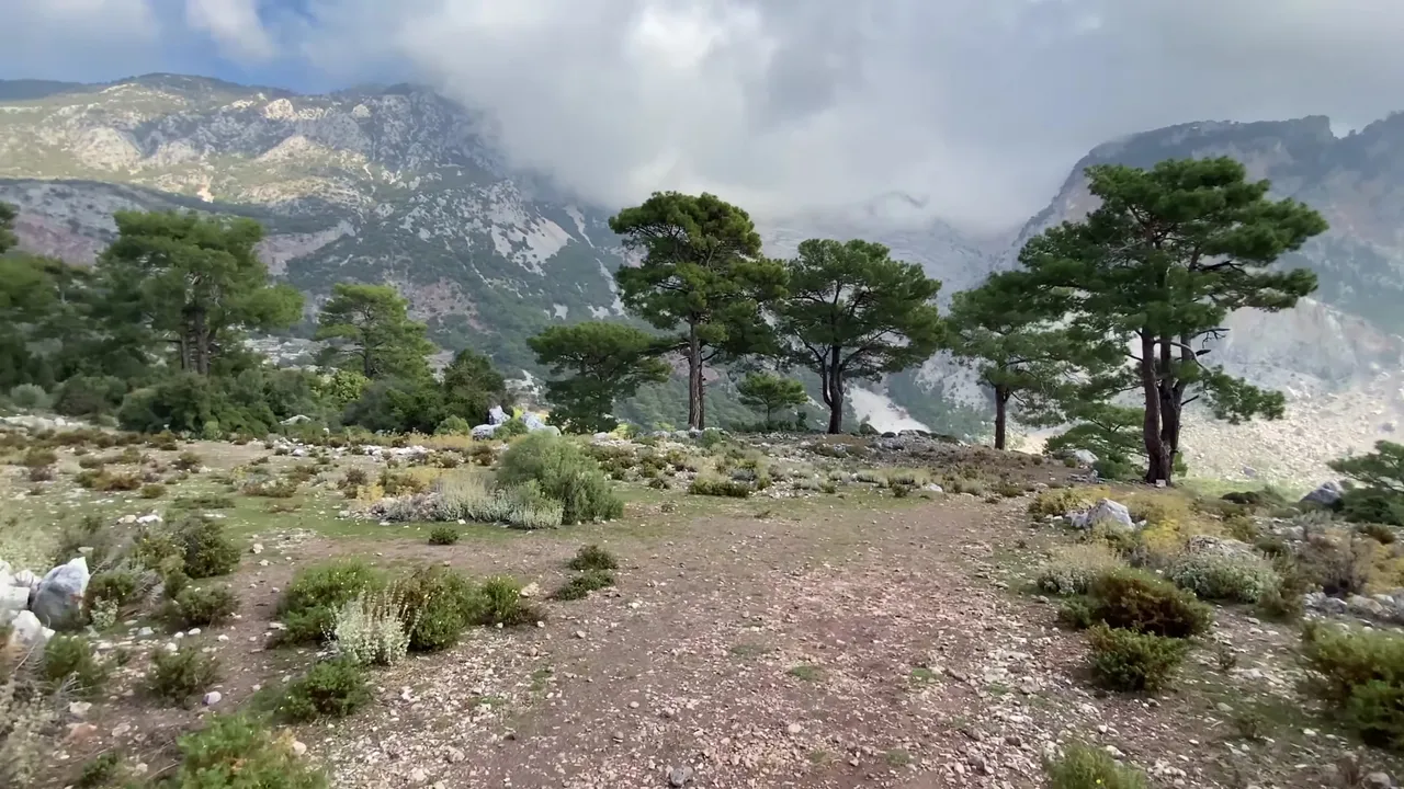
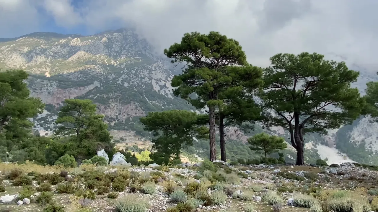
The surroundings were so beautiful that it felt like the landscape had been carefully designed rather than natural. Everything looked so harmonious and impressive.
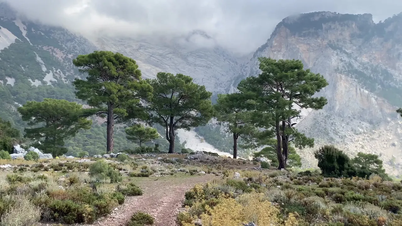
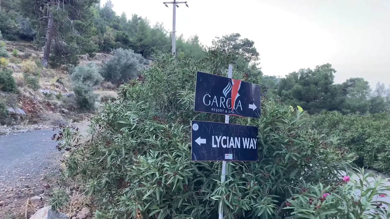
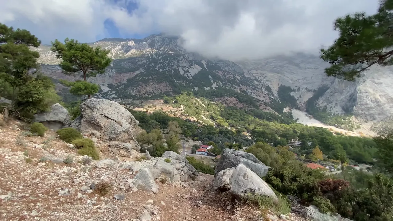
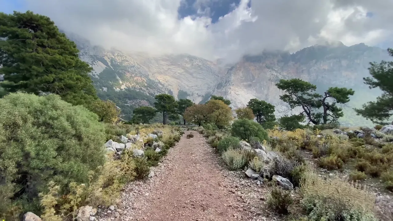
On the day of our hike, the clouds had descended to the mountain peaks, creating incredible views. Soon we reached new signs. We were now on asphalt, but don’t worry, there are hardly any cars and the scenery remains wonderful.
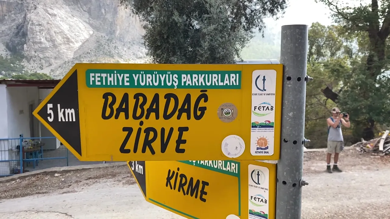
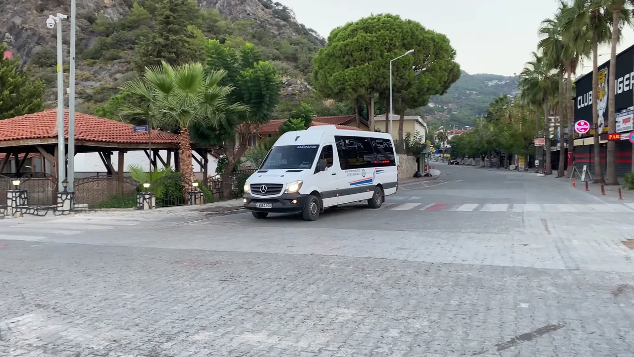
In total we walked about 7 kilometers from Ölüdeniz to this point. I think it’s an ideal end point for a day hike. From here, you can return by minibus, taxi or hitchhiking. In my experience, hitchhiking here is fairly easy. People usually help out.
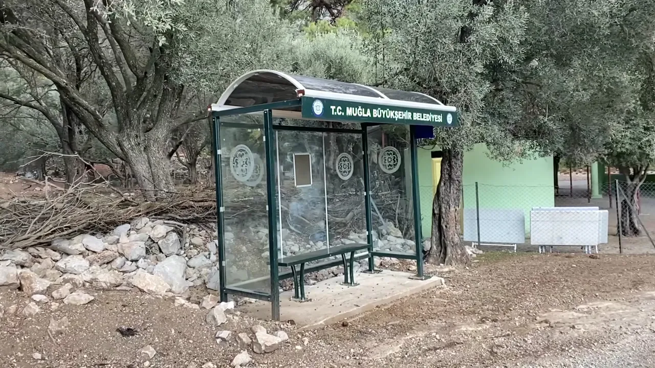
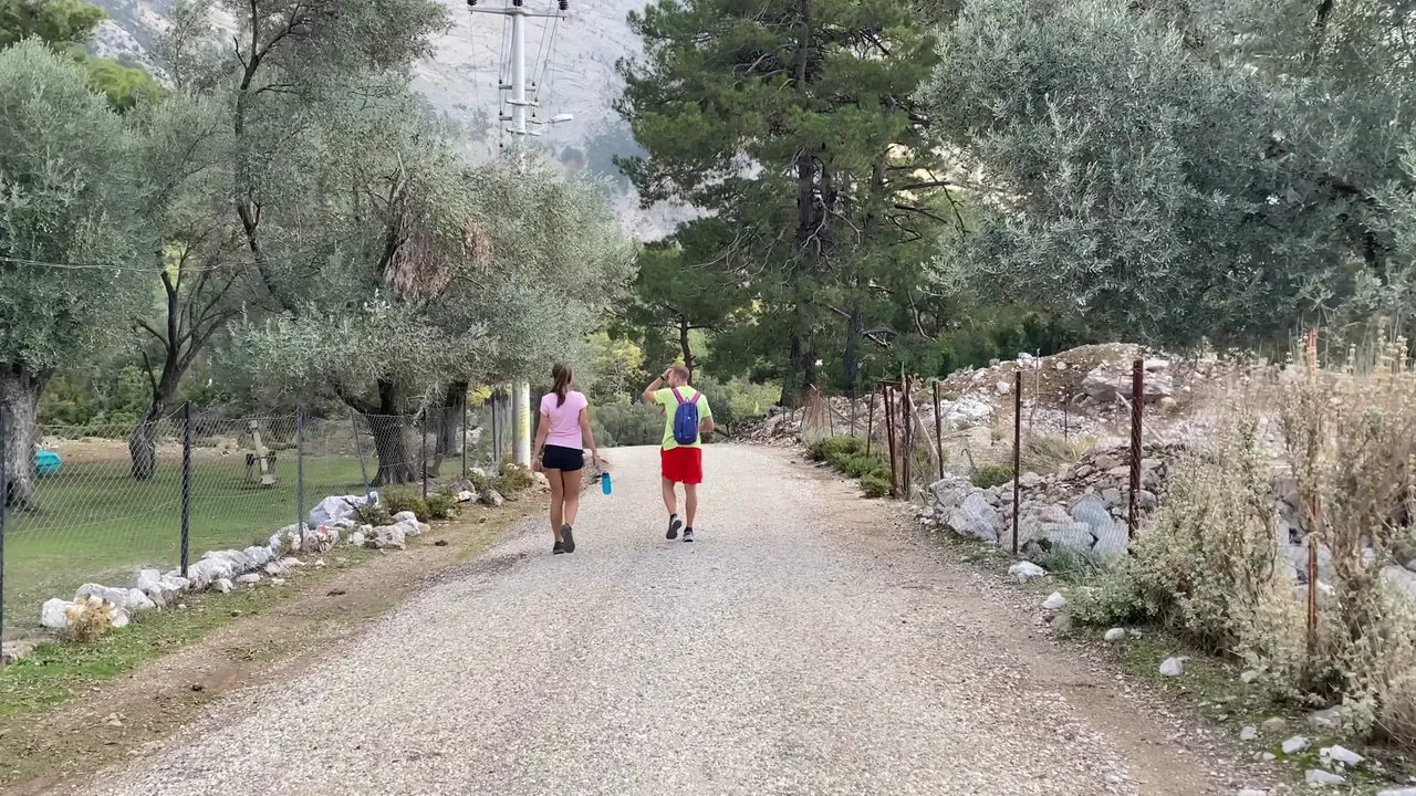
When we arrived, it was quite empty with few cars. So we continued on foot to a beautiful spot called Butterfly valley. On the road that passes here, you’re almost guaranteed to find a vehicle. That’s what we did and returned to our starting point in upper Ölüdeniz.
Now let’s talk about the second day route. This is another great option for discovering the Lycian way. We went down to lower Ölüdeniz, took a minibus and headed toward Kabak beach. The ride takes about 40 minutes and costs around one dollar.
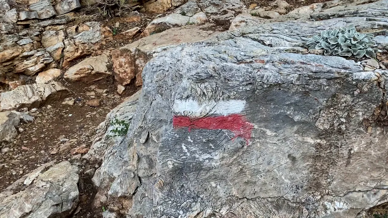
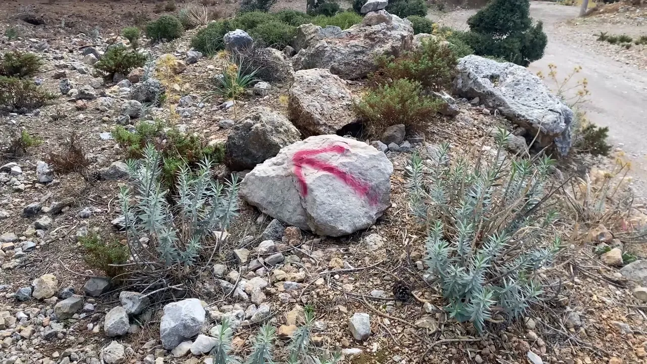
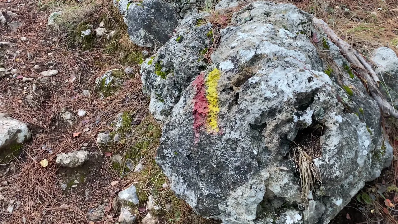
After getting off the minibus, we saw lots of fruits and vegetables around, along with small guesthouses. These mostly cater to guests with a hippie lifestyle. We went down to the beach and began our new route. Here too, we saw the first trail marker. However, these signs were different from the earlier ones. The path first goes down to the beach, then climbs back up the hill. But our route followed the coastline and we reached some very beautiful beaches.
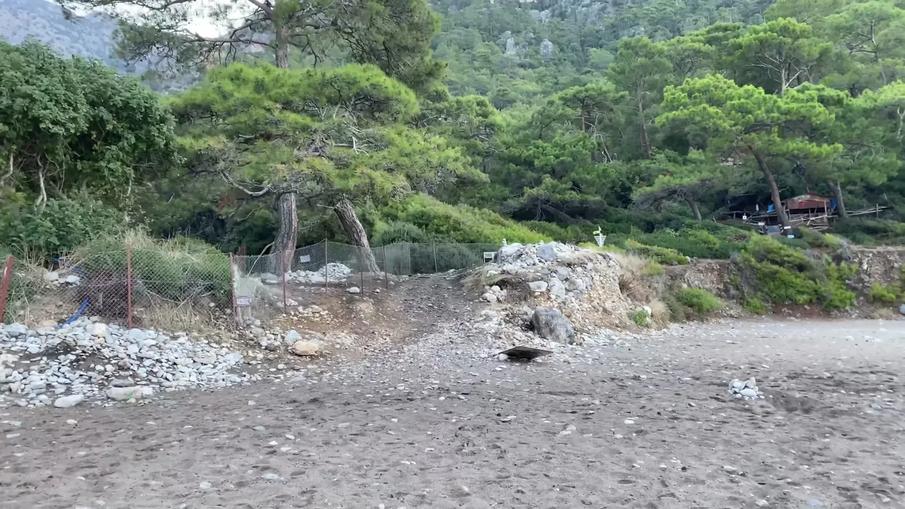
Technically we weren’t walking on the official Lycian way, but I don’t think that really matters. The scenery and the joy of walking were just as good. This is still part of ancient Lycia, so in my opinion, every path here is part of the Lycian way.
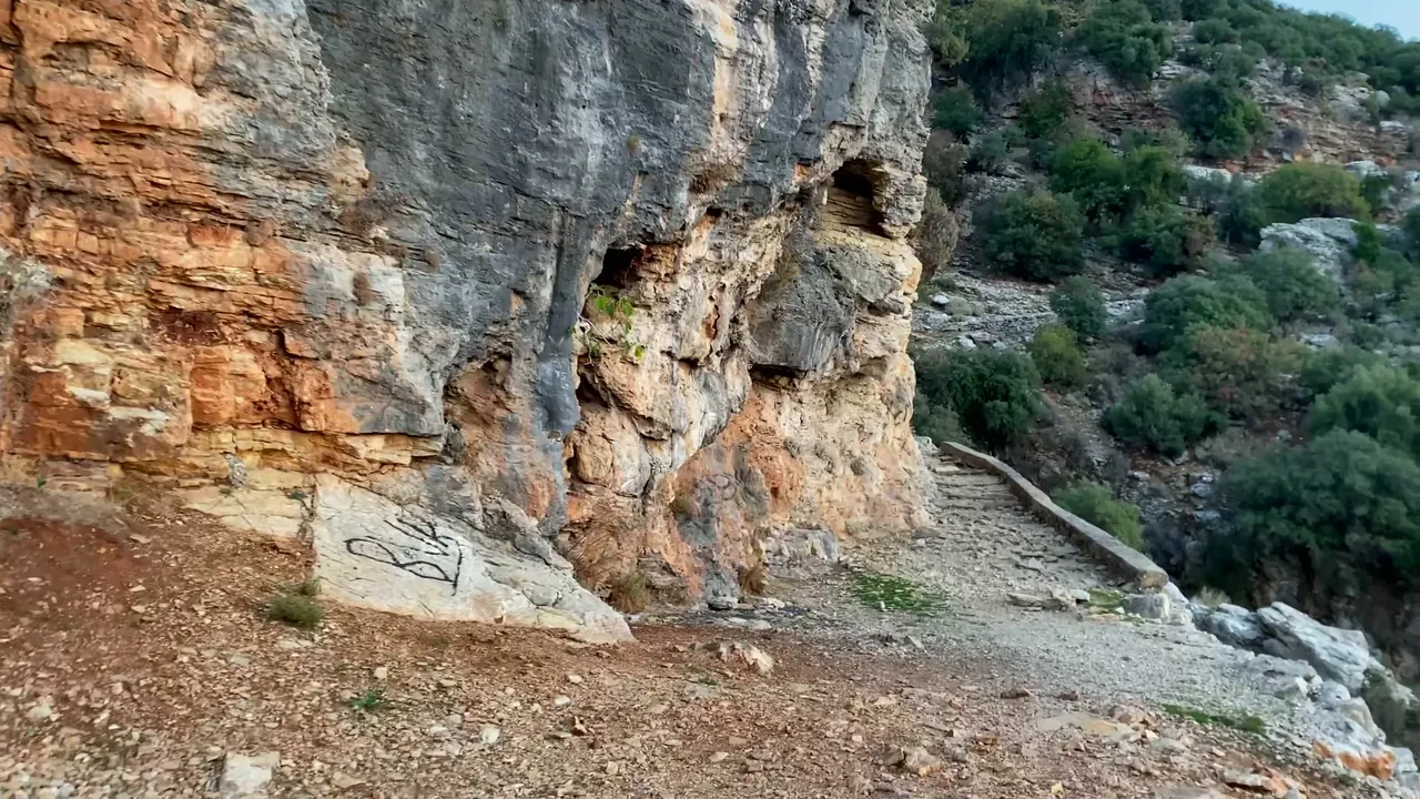
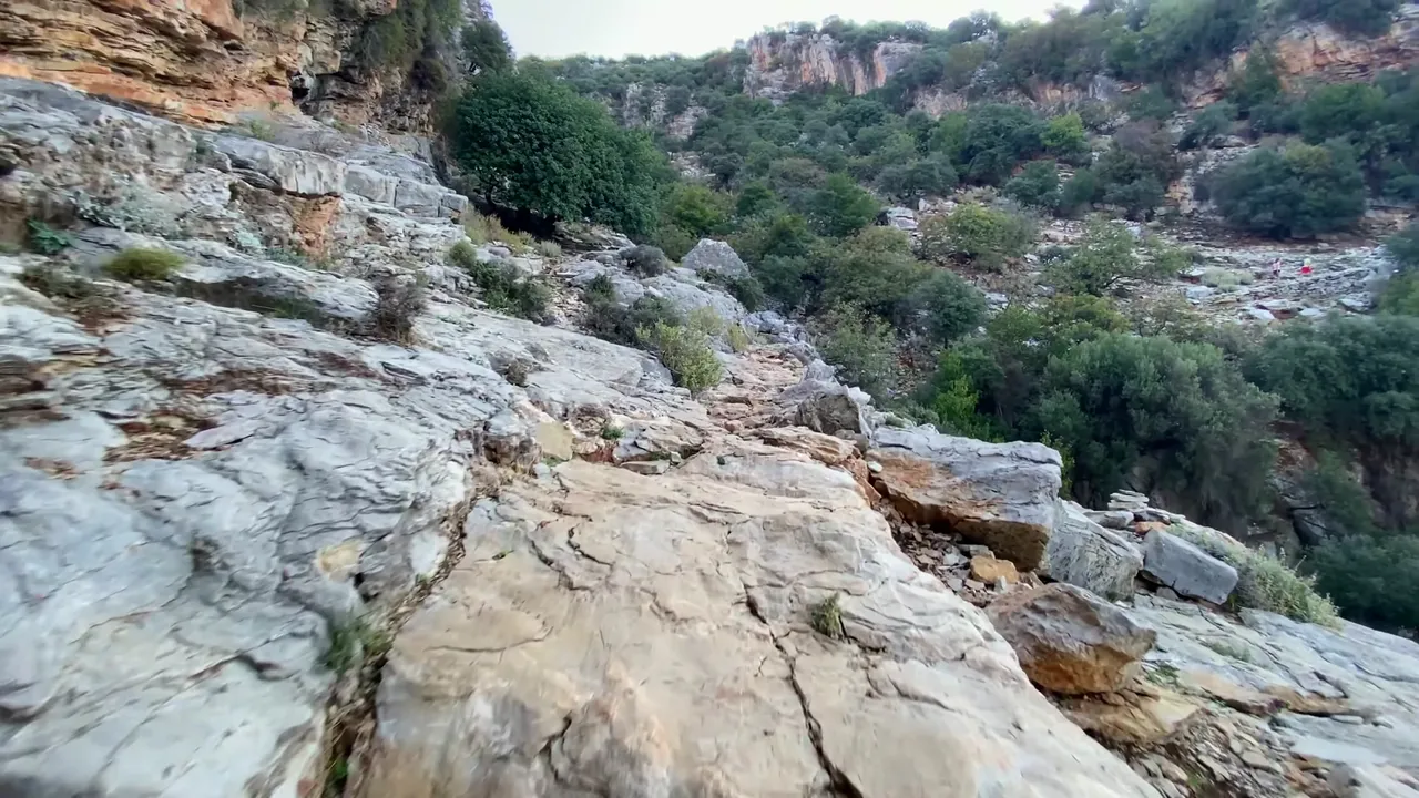
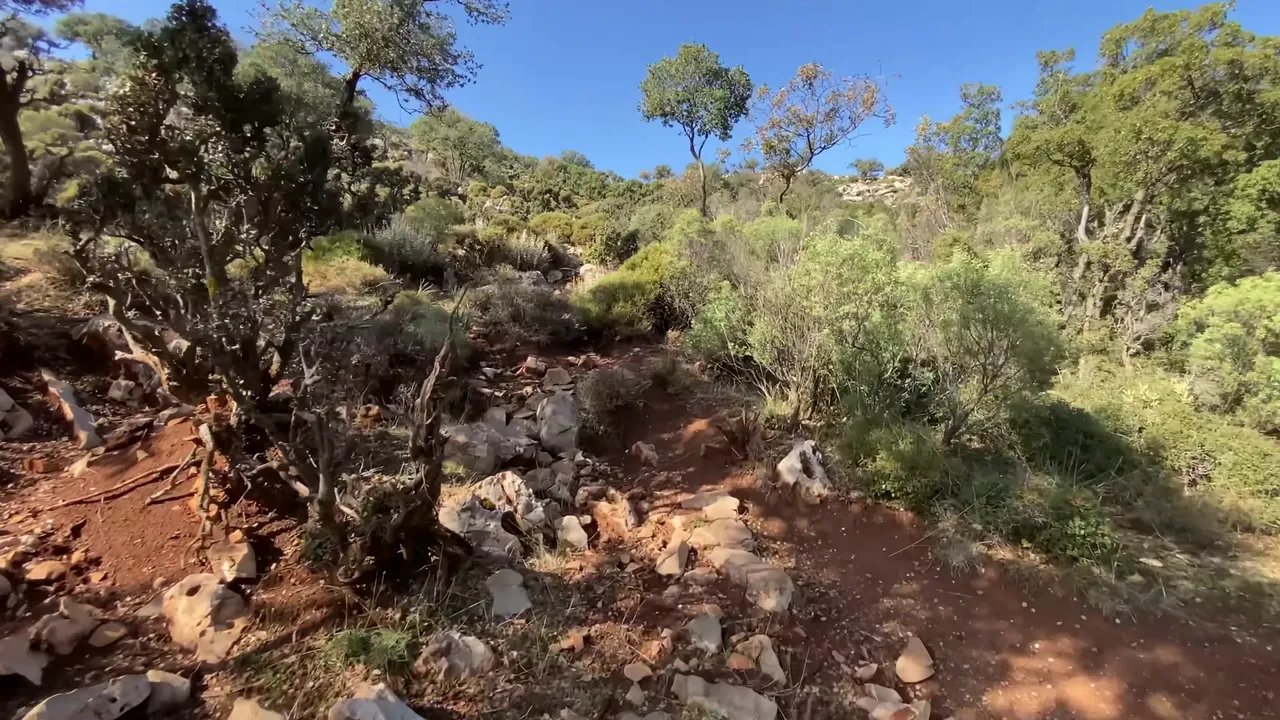
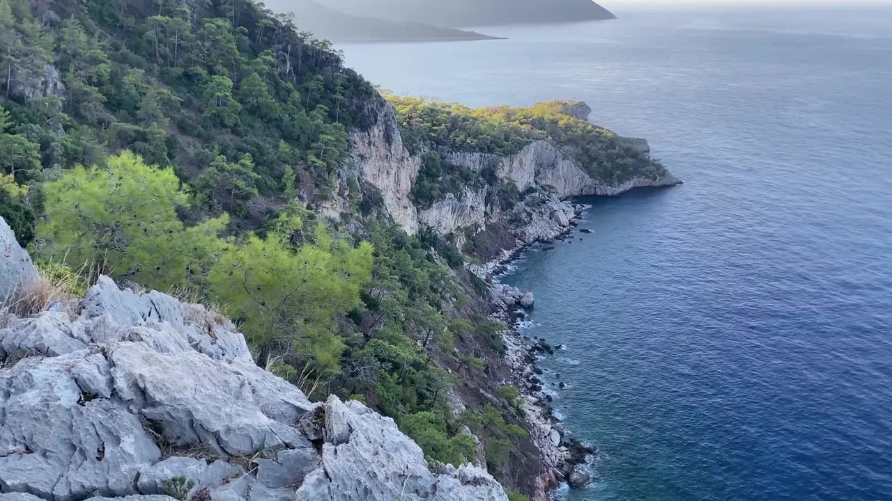
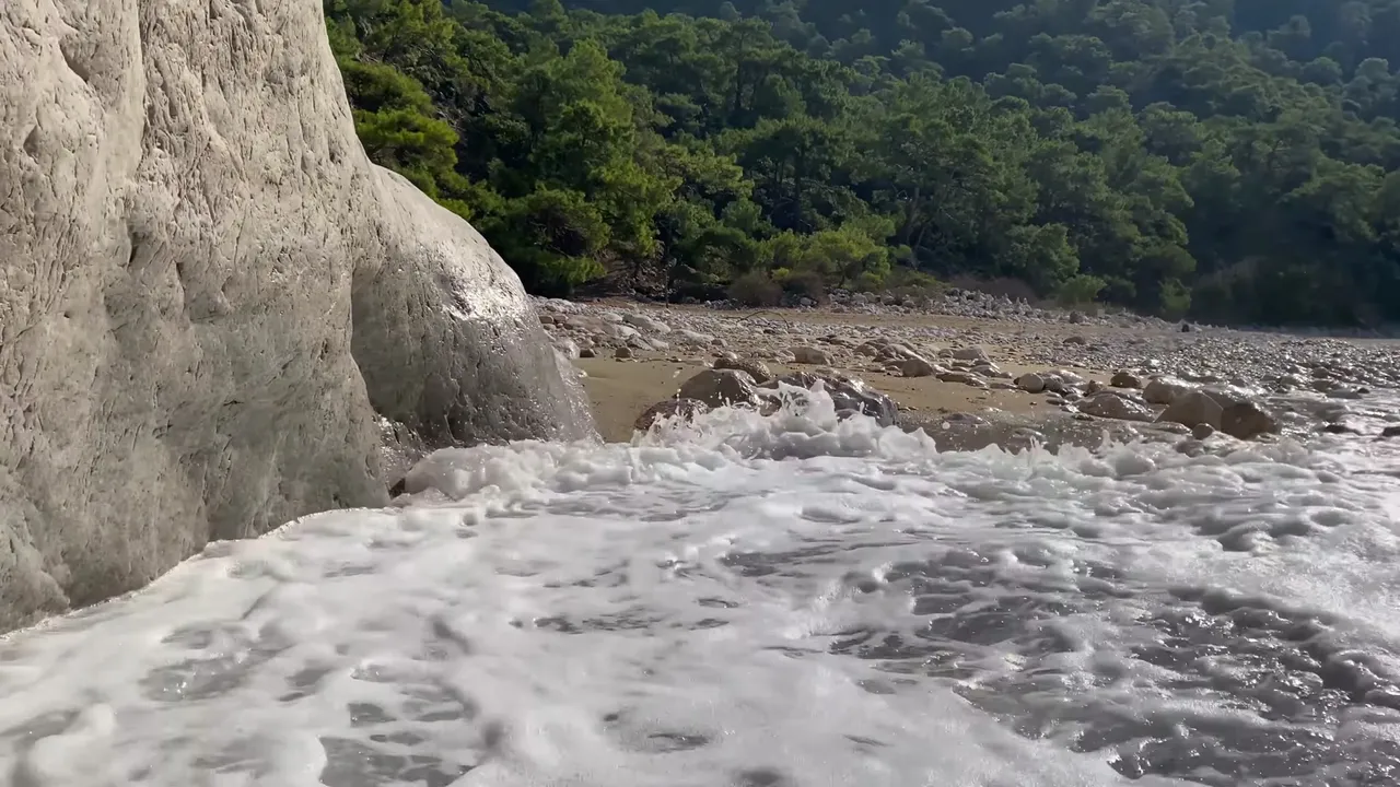
Compared to the first route, this one is a bit more challenging. There are constant ups and downs, large rocks and forks in the trail. The signs are frequent, but you can still get lost. We also took a wrong turn at one point and had some difficulty getting back, but the nature was amazing.
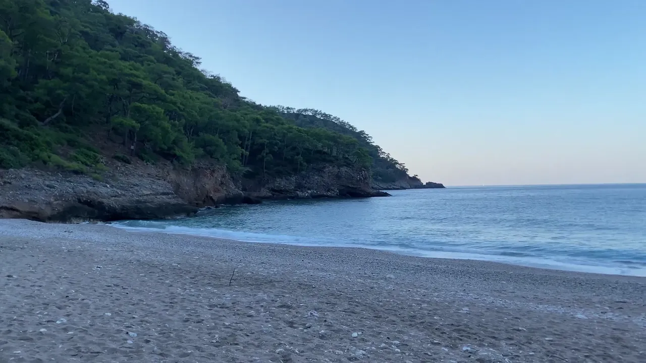
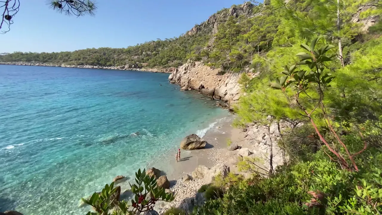
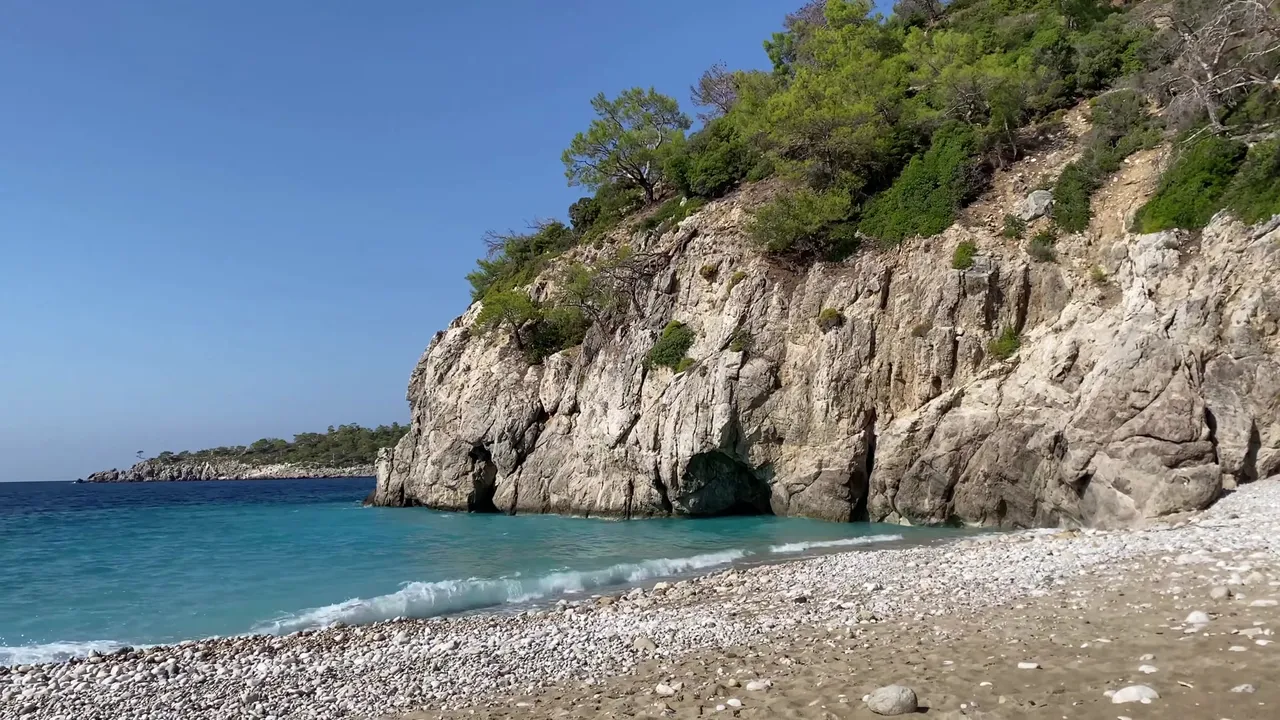
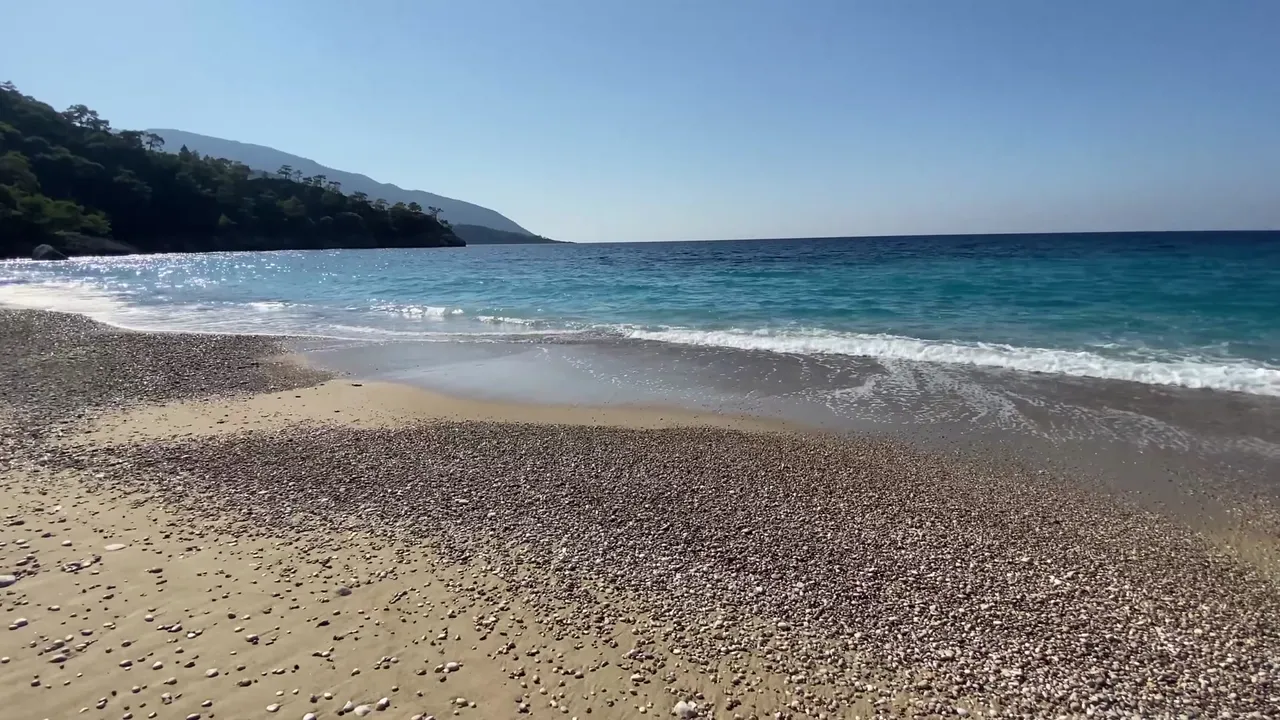
After walking about 3 kilometers, we reached the first beach. It was very small, quiet and had golden sand. The colors were enchanting.
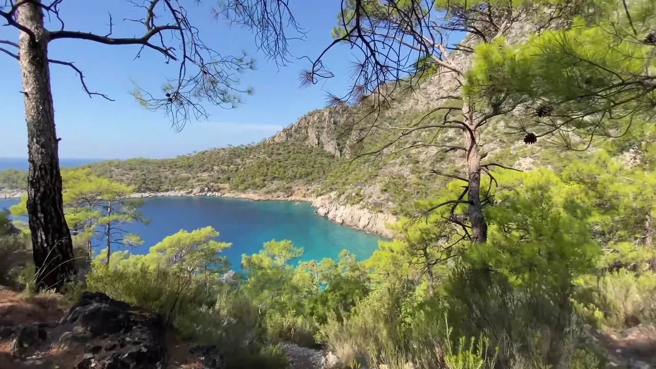
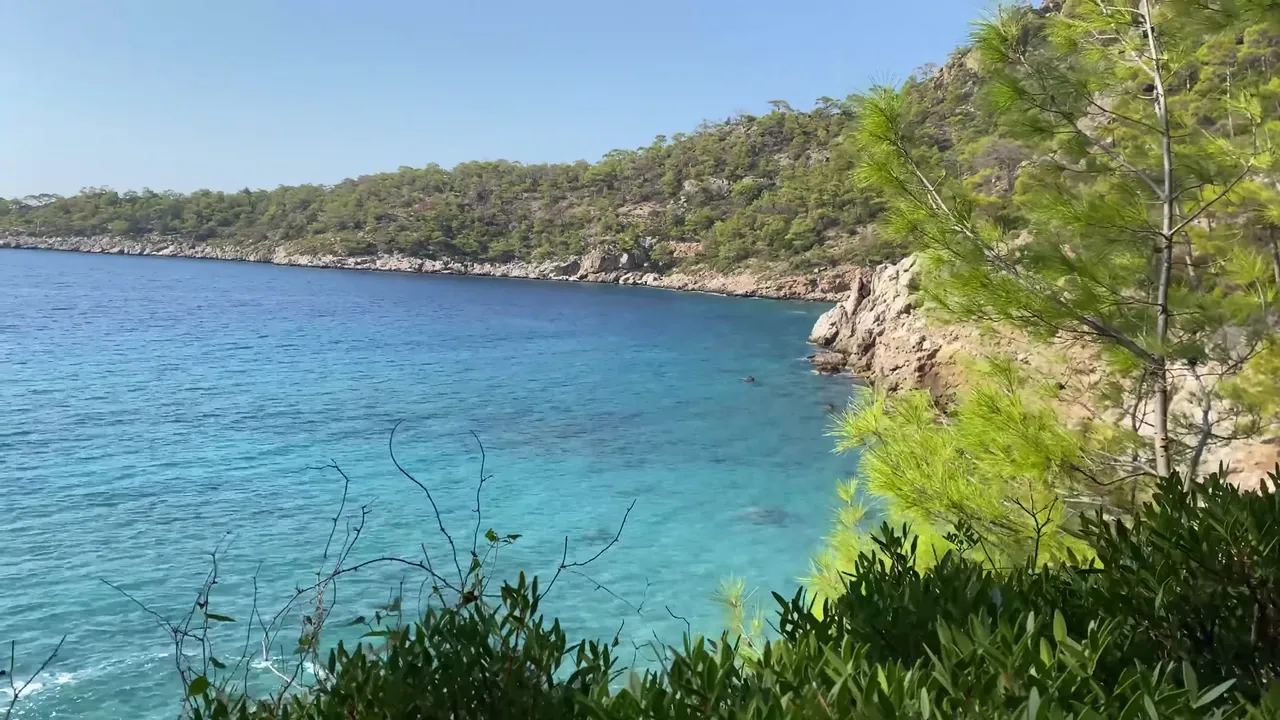
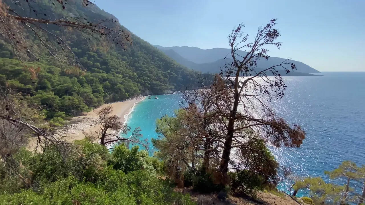
Eventually we arrived at the big beach. With all our breaks and detours, it took about two hours to get there. The beach is 300 meters long and quite isolated. You can only reach it by foot or from the sea.
We’ve now seen two ideal routes for getting to know the Lycian way. You can choose whichever one suits you best. The mountain route is easier, but the coastal route gives you a chance to swim. Of course, there are many more options. You don’t have to follow my route, but if you do that makes me happy.
That’s all for now. See you again soon.