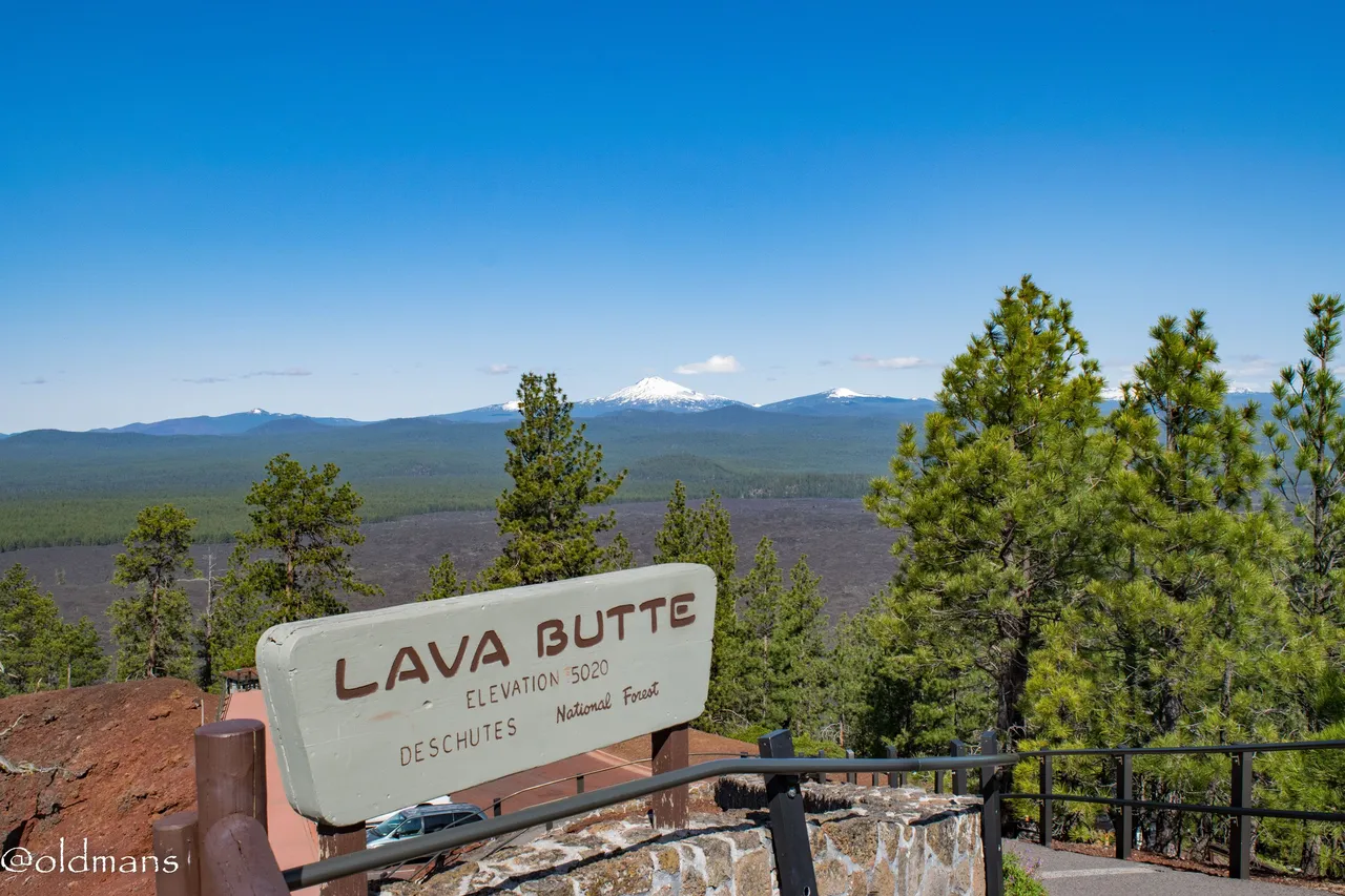
Last week on a drive to Sunriver, Oregon we decided to stop by and explore a small part of the 54,000 acre Newberry National Volcanic Monument. A 500 foot tall cinder cone named Lava Butte is right along HWY 97 as you travel north/south through Central Oregon. From the top are spectacular views of the surrounding area and the Central Oregon Cascade Mountain Range. Follow along as I share some of the shots I captured that day.
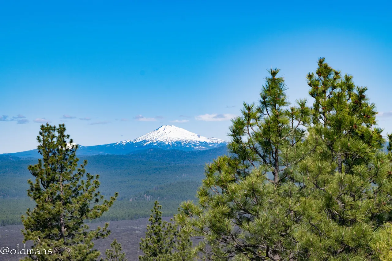
 The view of Mt Bachelor from the top.
Click images for larger view

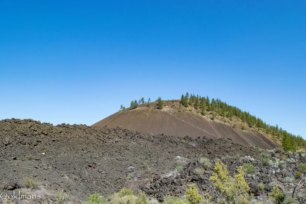
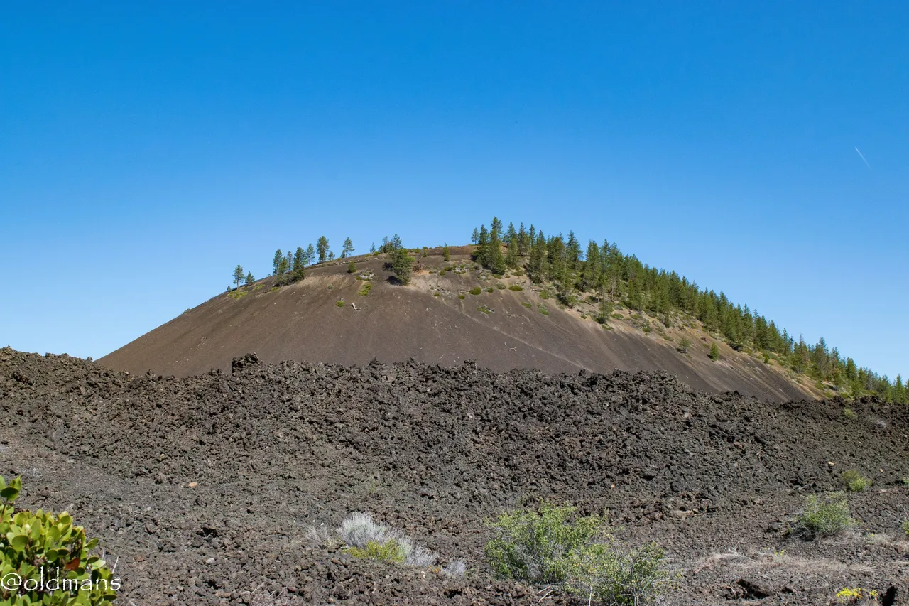
A look toward the top as we begin our ascent. It is a short drive to the top as you circle around the cone to reach the summit. A little video near the end of this post will show some of the descent.
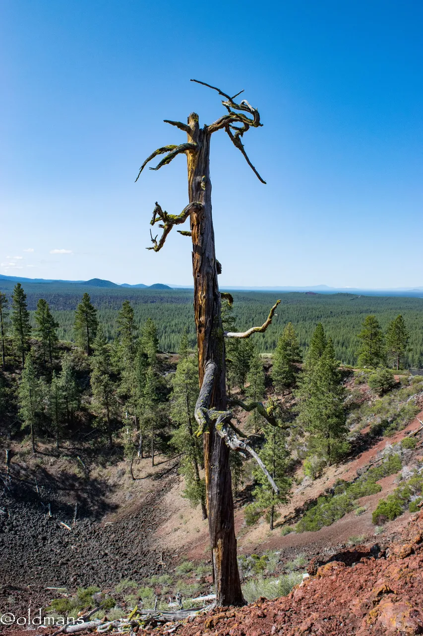 A lone sentinel stands guard over the ancient crater at the top.
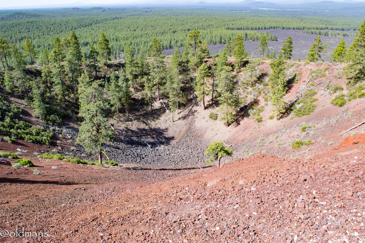
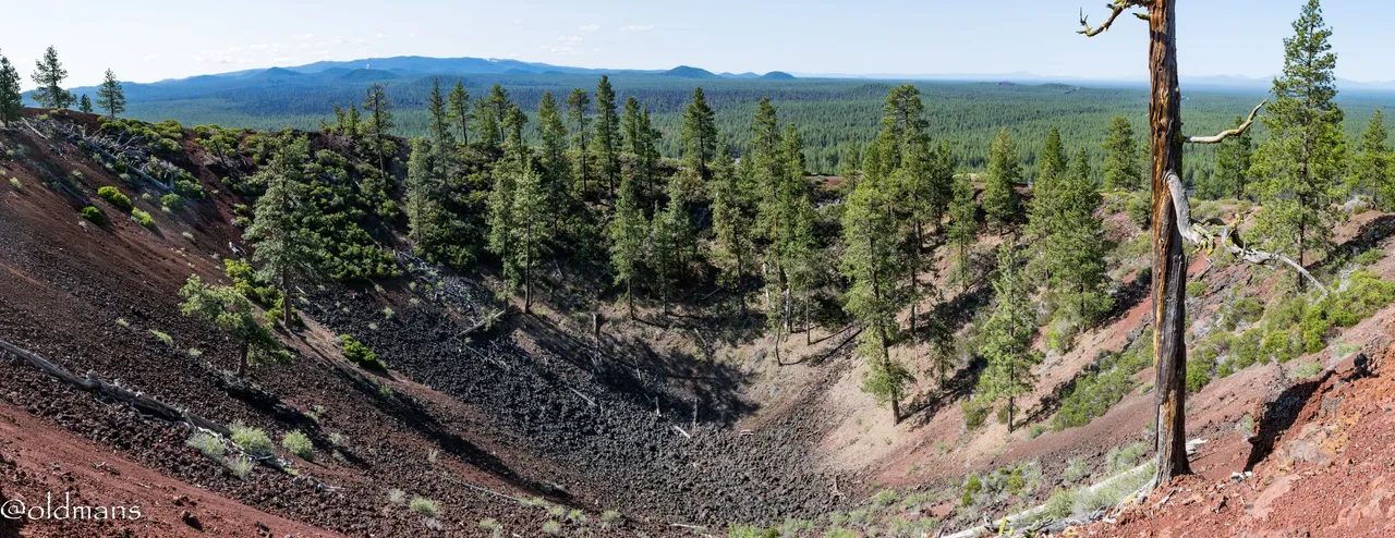 A view of the approximately 60 foot deep crater.
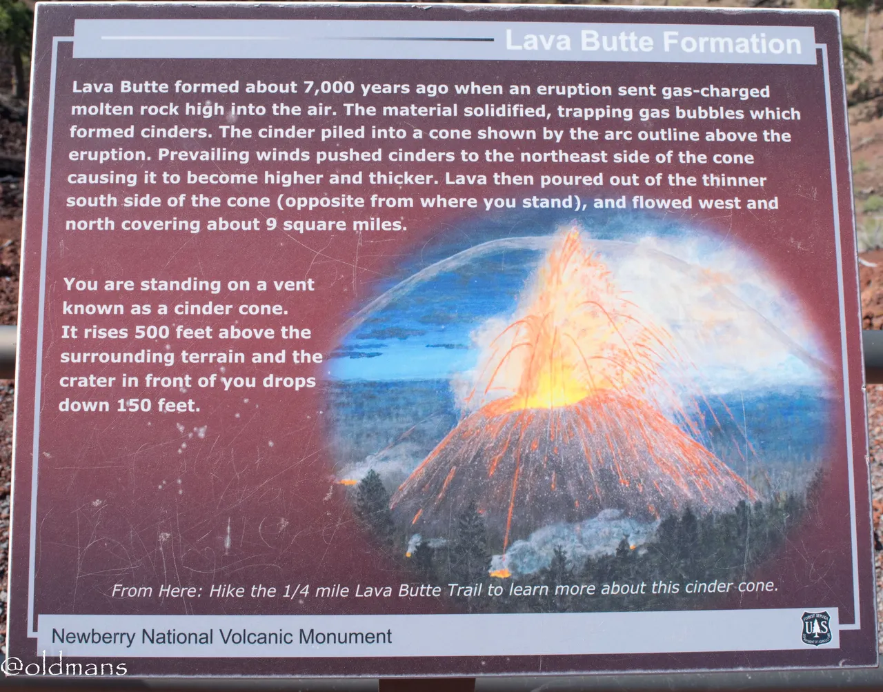 A sign board explaining the formation of the cinder cone some 7000 years ago. I'll share a couple shots later that show some of the lava flow.
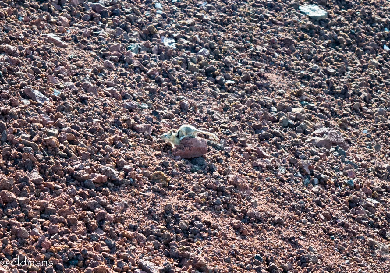
A little ground squirrel digging in the cinders. Life will find a way even in the harshest environments.
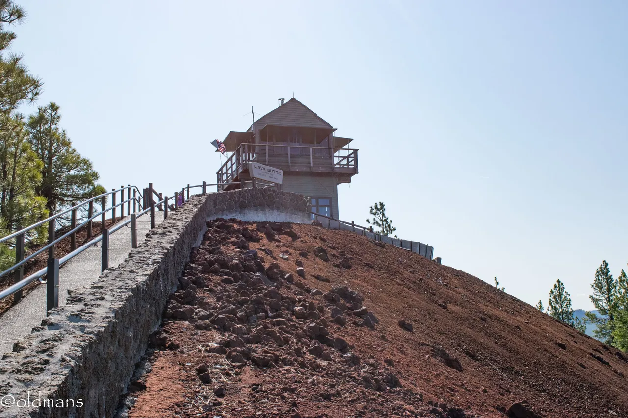
A short, but extremely steep walk, brings you to the top and the fire lookout that resides there.
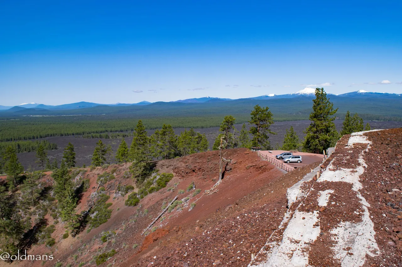
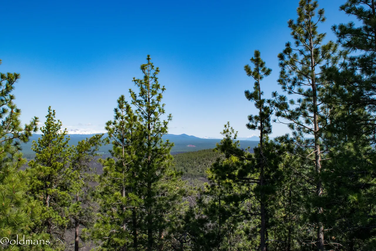
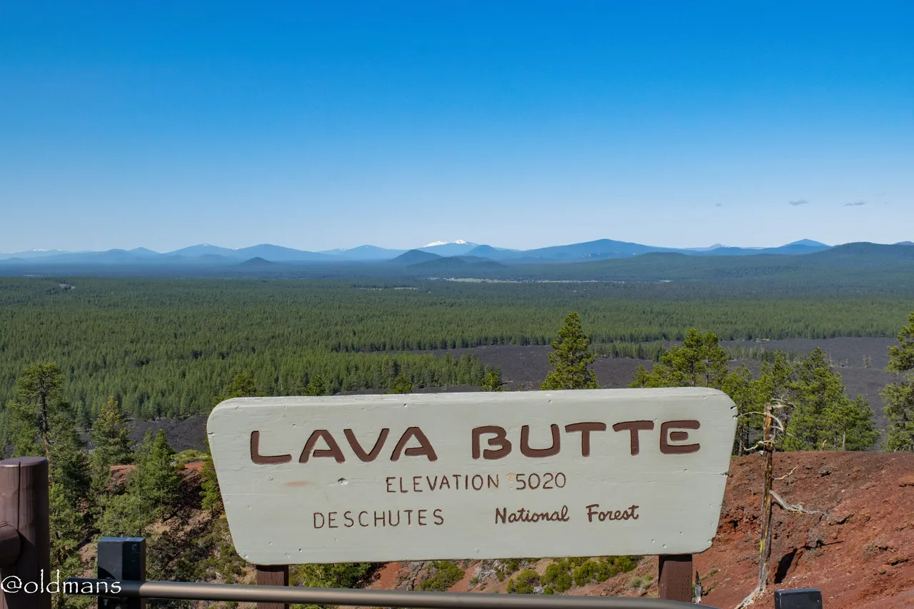 From the top, looking southwest you get a small glimpse of the long ago lava flow. Soon it gives way to the pine forest that carpets the area leading up to the foothills of the Cascades.
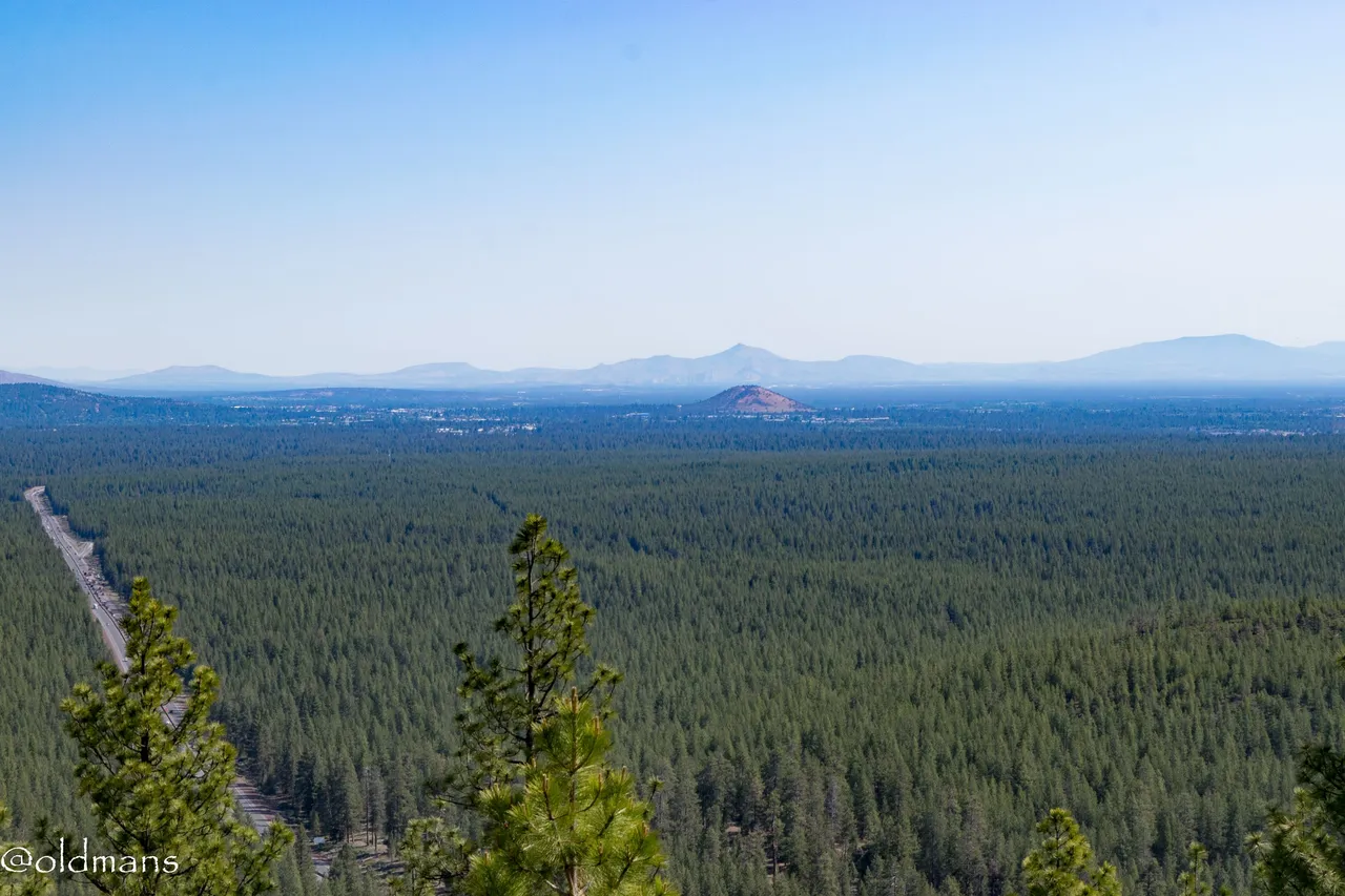
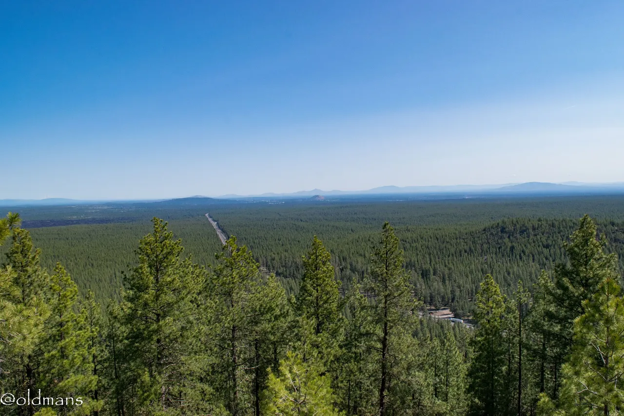
Looking north you can see HWY 97 below that leads into Bend. In the near distance you can see Pilot Butte that is somewhat in the middle of the city. Also a place for spectacular views. In the far distance is Smith Rock State Park.
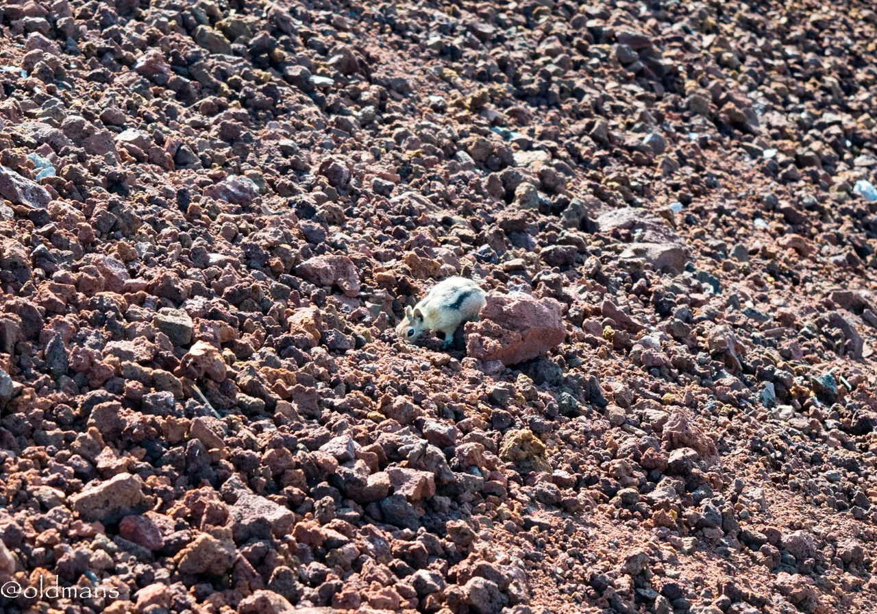
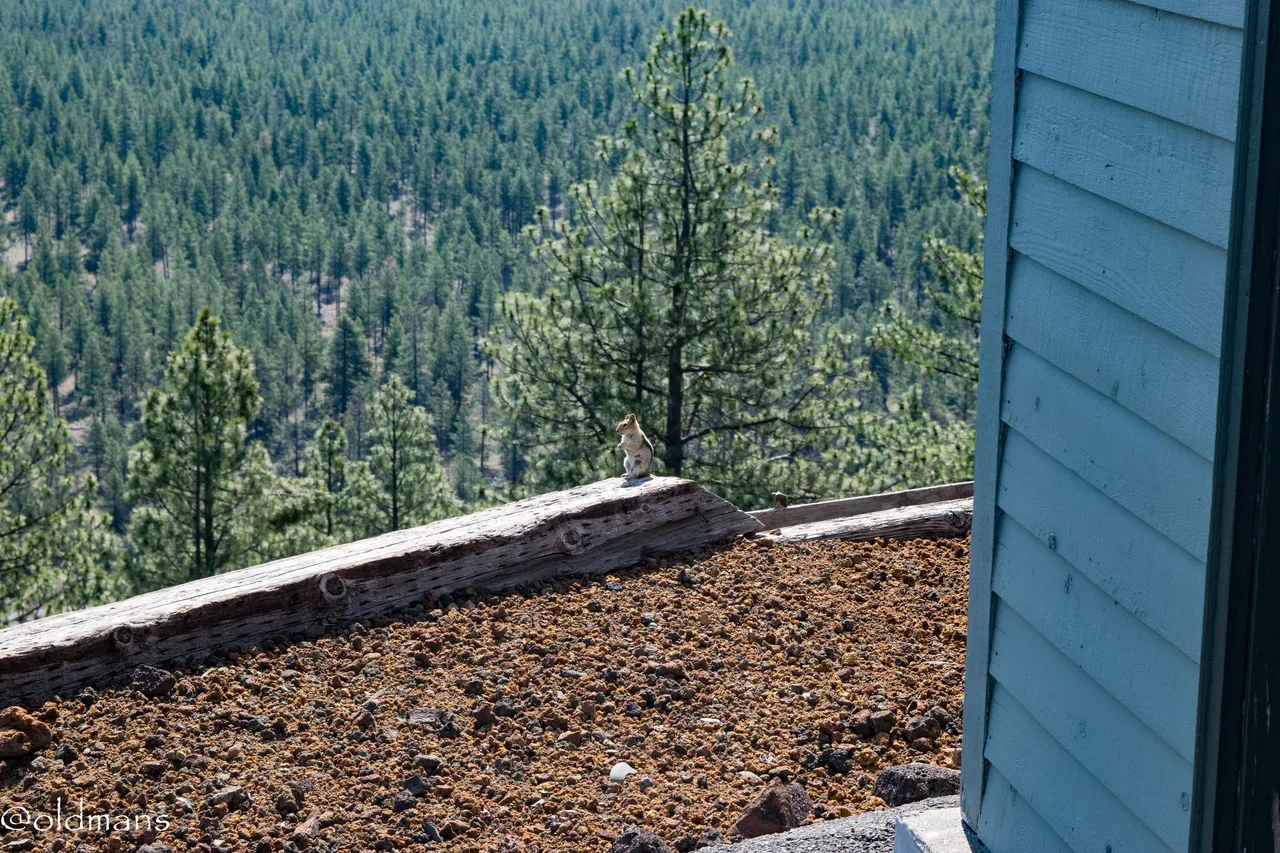 Another little ground squirrel enjoying the view. 😃
 Another look down into the crater from near the fire lookout.
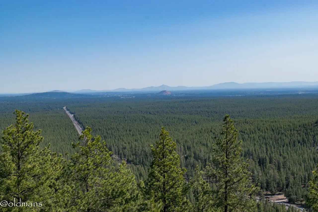
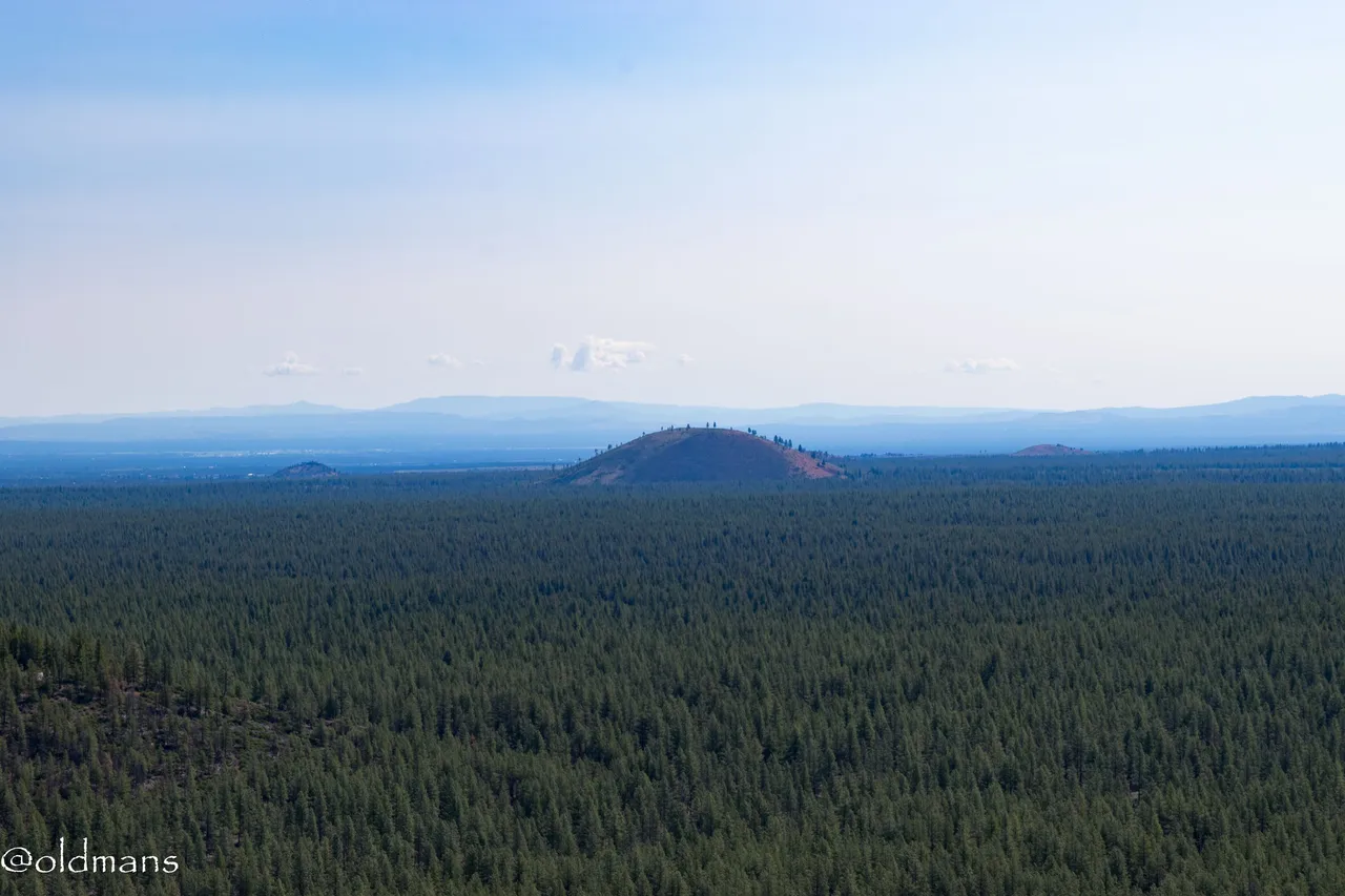 A look to the northeast were a few more cinder cones dot the landscape. As you can see it was a somewhat hazy day due to all the prescribed burns recently. They do the controlled burns now to try and mitigate wildfires later in the season.
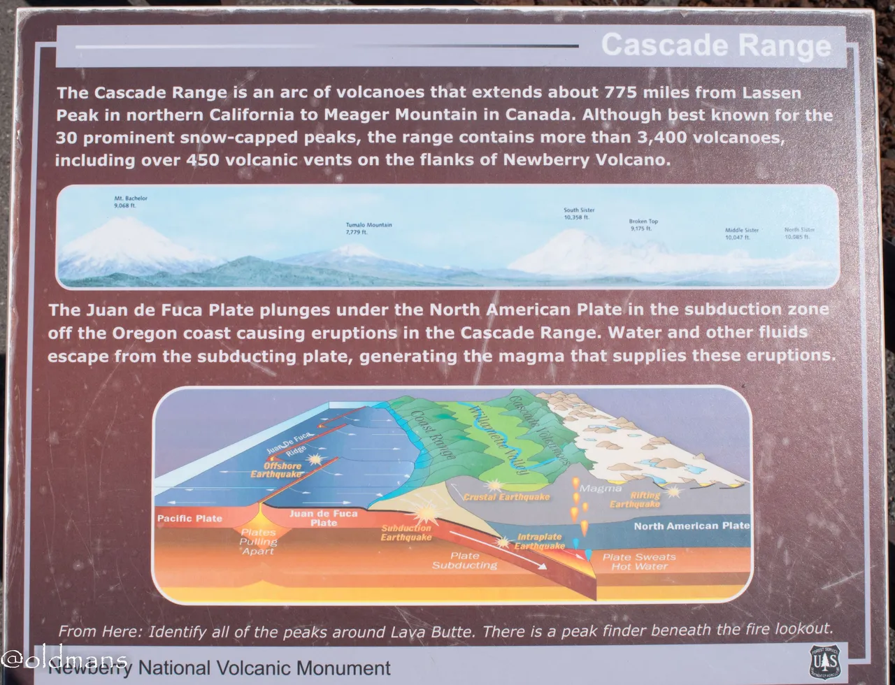 Before we take a look at some of the snow packed peaks to the west, here is a sign board explaining some facts about the Cascade Range and its formation.
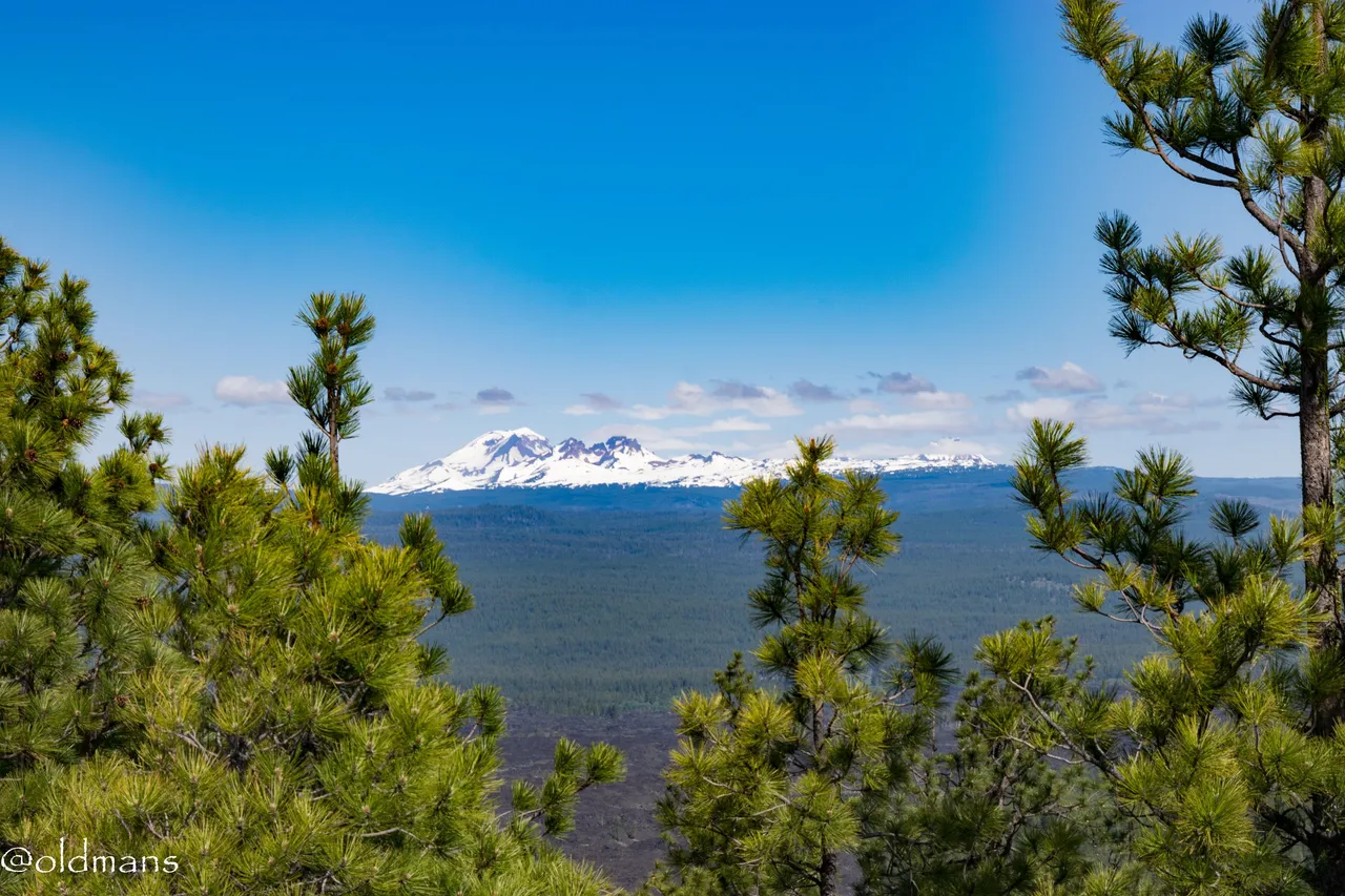 The South Sister and Broken Top.
 Some more of the lava field below. When the lava field initially covered the land it also blocked the flow of the Deschutes river and created Lake Benham. Eventually the river found a new course and the lake was drained leaving Benham Falls.
 Mt Bachelor
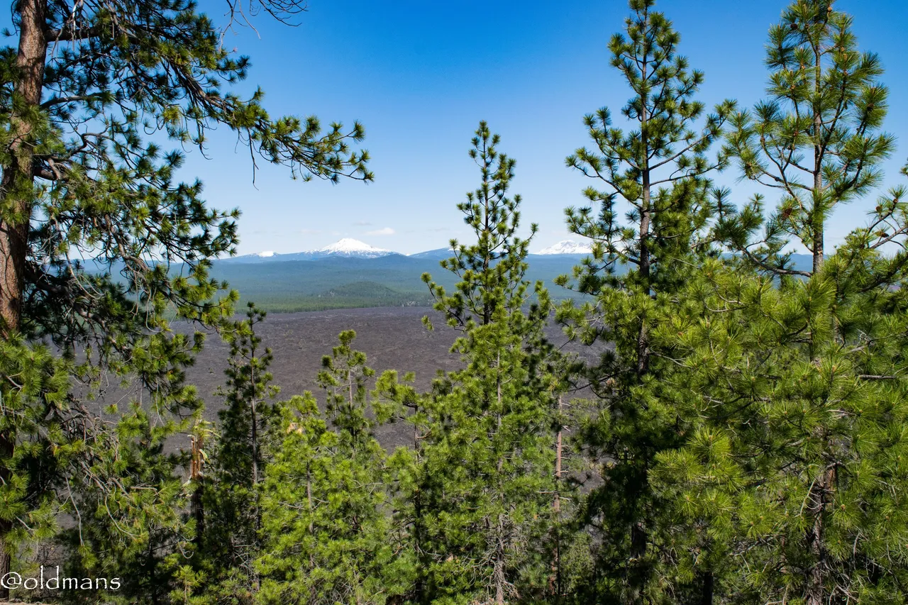 Another look at the lava field with snow capped peaks in the distance.
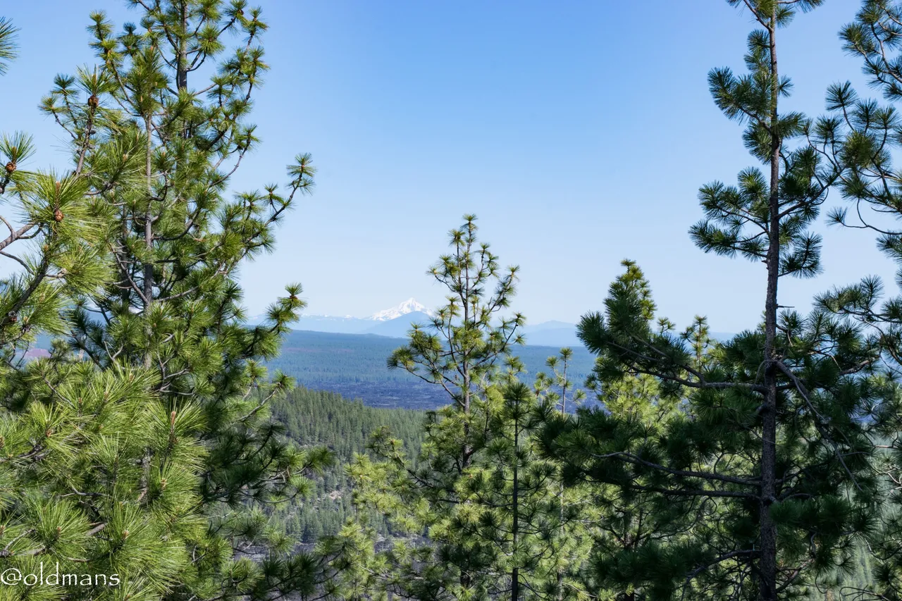 Mt Jefferson in the hazy distance.
 Some wildflowers on the drive down.
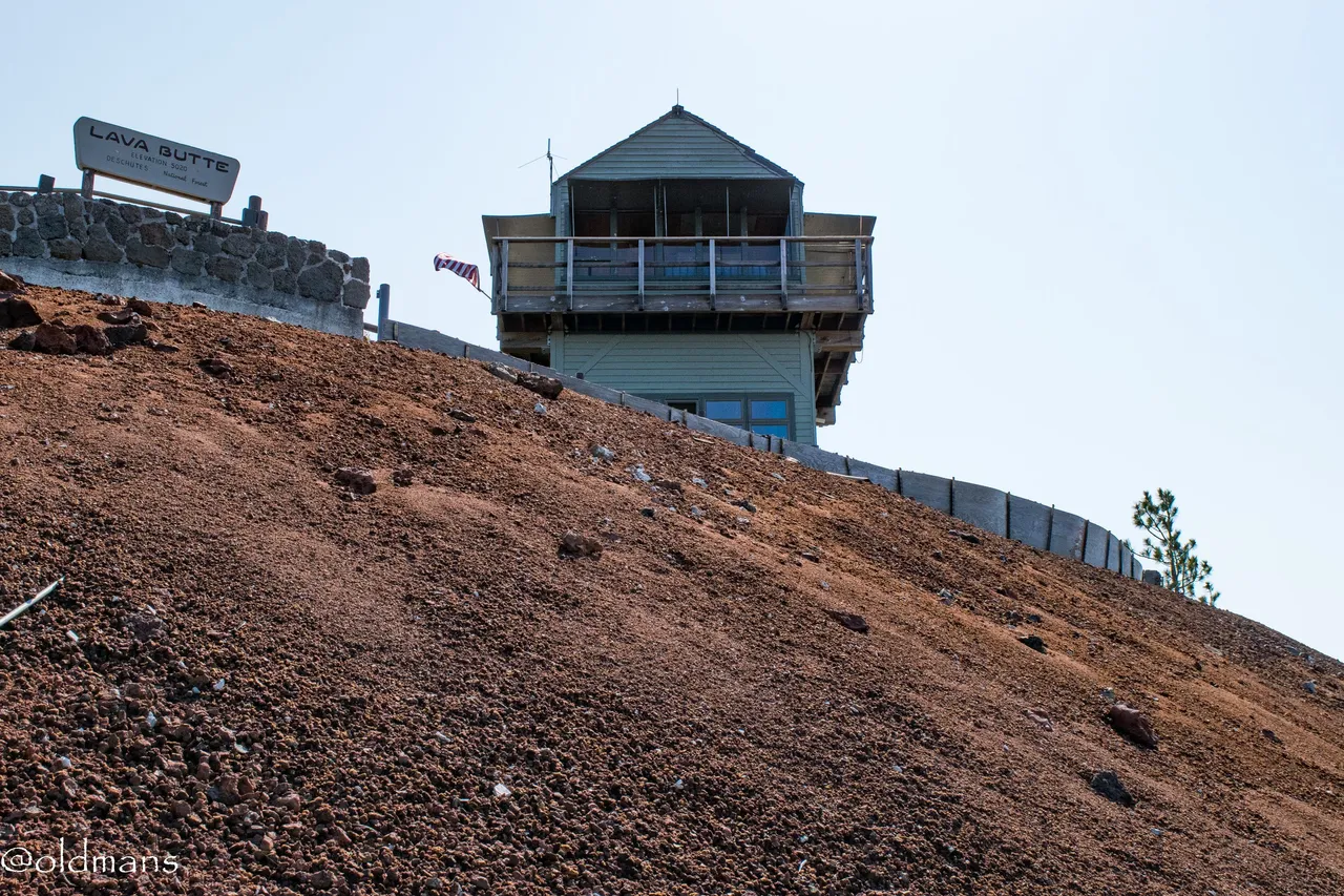
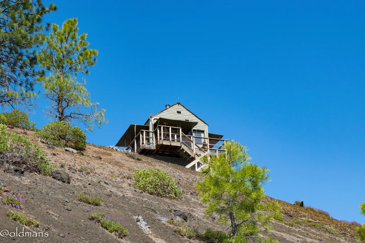 A last look at the fire lookout as we head down the road.
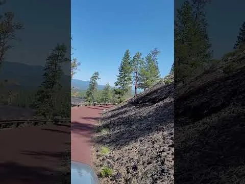
As promised a quick video of the descent from Lava Butte.
Please feel free to make comments or ask me any questions about this post.
Photos taken by me, @oldmans, with a Nikon D3300 and some Lightroom post processing.
Please visit WorldMapPin to see the locations of some of my other posts.
Thanks for looking and enjoy your day!