LIDAR drone
LIDAR MEREVOLUTION MAPPING AND GEOSPATAL DATA
Screenshots
 View Image |
|---|
Hunter's comment
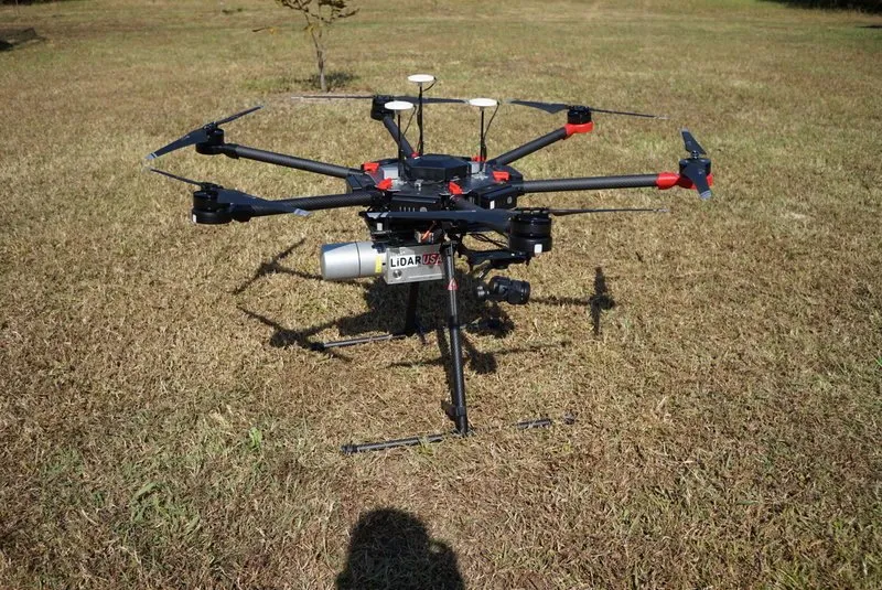
LiDAR (Light Detection and Ranging) is a remote sensing technology that uses fast laser pulses to map the Earth's surface. LiDAR is useful when used to create high resolution digital surfaces, terrain and elevation models used for a variety of business applications. In the past, companies needed to use separate personal systems for each application. Currently, companies can use LiDAR systems that are installed into UAVs as all-in-one 3D mapping devices. The ScanLook A Series LiDAR system fitted to the DJI Matrice 600 airframe is an affordable, versatile, and accurate UAV-based 3D survey solution.
Link
Contributors
Hunter: @samsulzamar

This is posted on Steemhunt - A place where you can dig products and earn STEEM.
View on Steemhunt.com