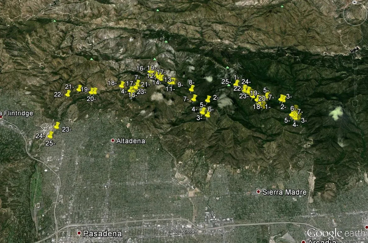
As every December comes to an end and January 1st approaches I reach out to my friends and see how they are ringing in the new year. @derekrichardson is one of those people that hates to be near the city during major holidays, and this particular year was out hiking around the Angeles National Forest. I decided to join him half way through his trip and we would hike from an area known as Chantry Flat back to his car parked near NASA's Jet Propulsion Laboratory, a roughly 28 mile hike. I had no prior engagements and felt it would really be good for me to backpack around in nature, plus the 28 miles was broken up into a week.
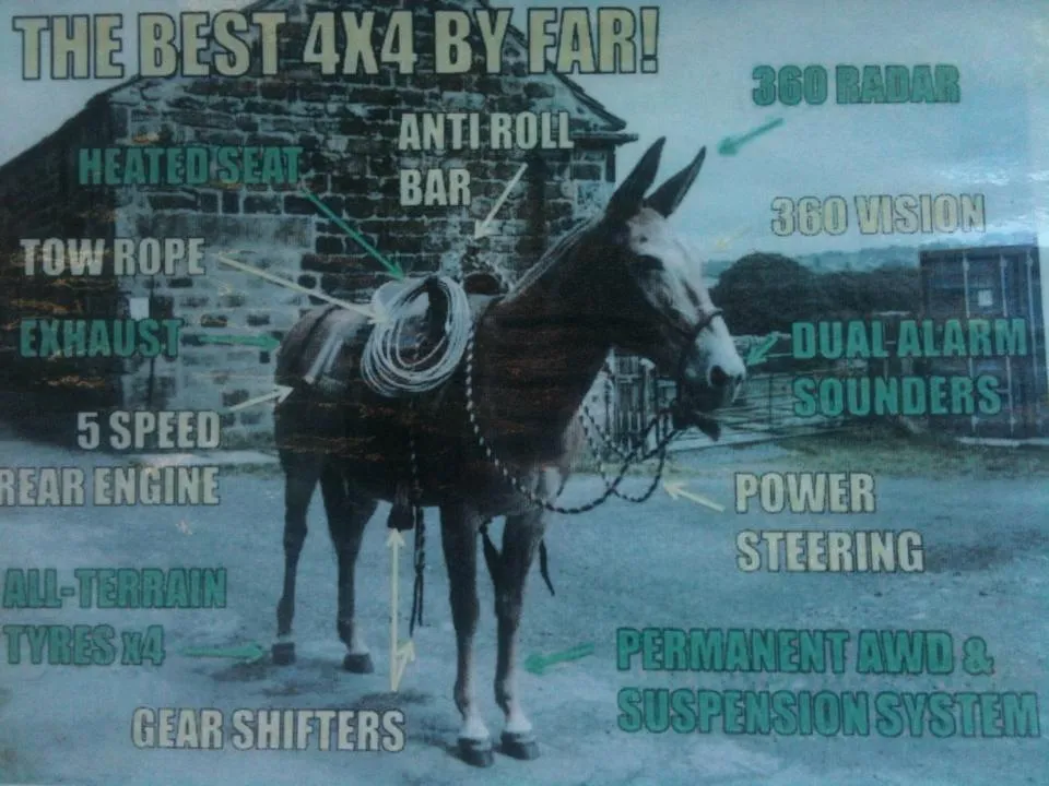
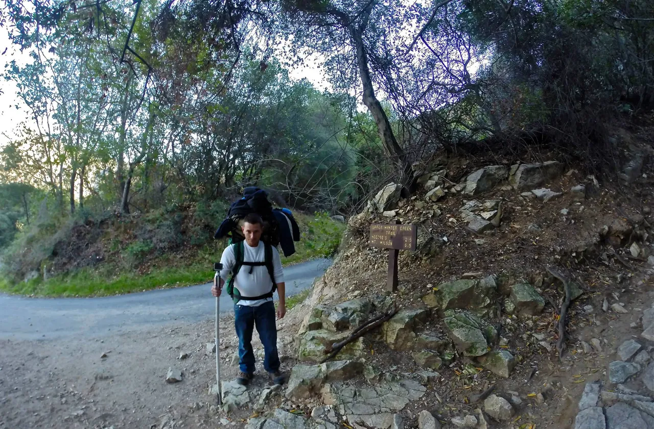
This was the first time I had been to the area known as Chantry Flat and man was it busy. While being dropped off, the car I was with was double parked due to lack of parking spaces and it was only 7 AM! There was no cell phone signal so I had to wait until I saw Derek to be left behind by my ride. It wasn't long before he showed up and he pointed to a table where his pack was located. Derek had already cracked open a nice frosty beer sold by Adams Pack Station so I figured why not partake. What was one beer became several and while hanging around enjoying our time, we decided to eat. I enjoyed some nice warm chili. While waiting to be served I noticed a funny picture hung by the communal area depicting a mule as the original 4x4 vehicle. It was absolutely hilarious.
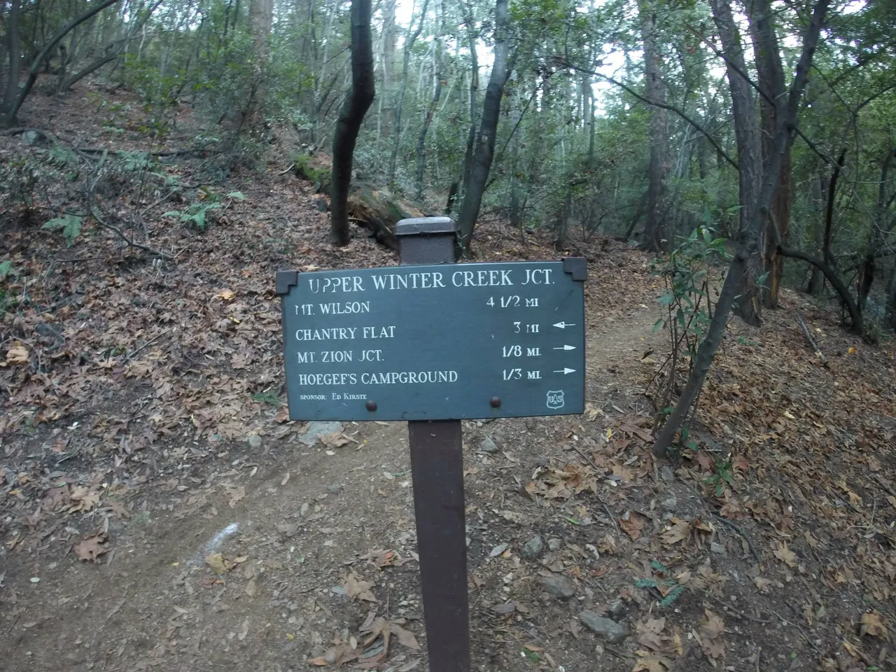
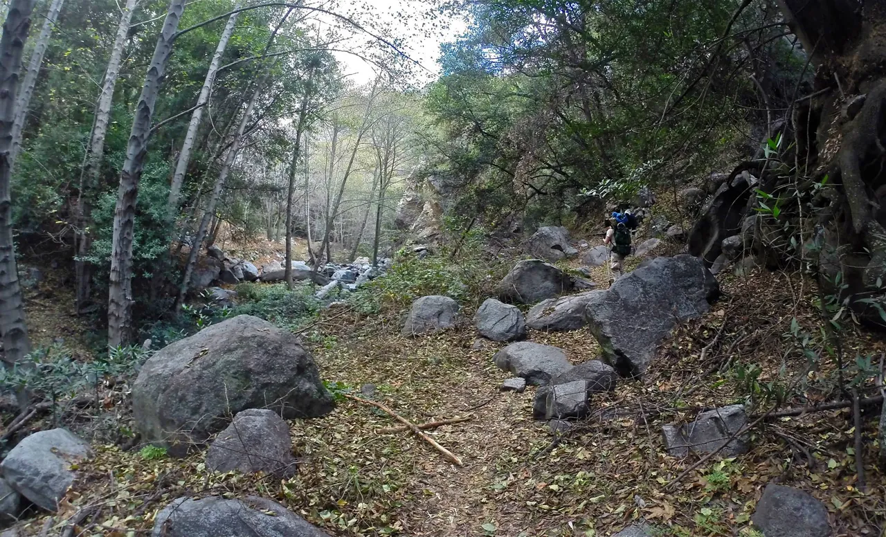
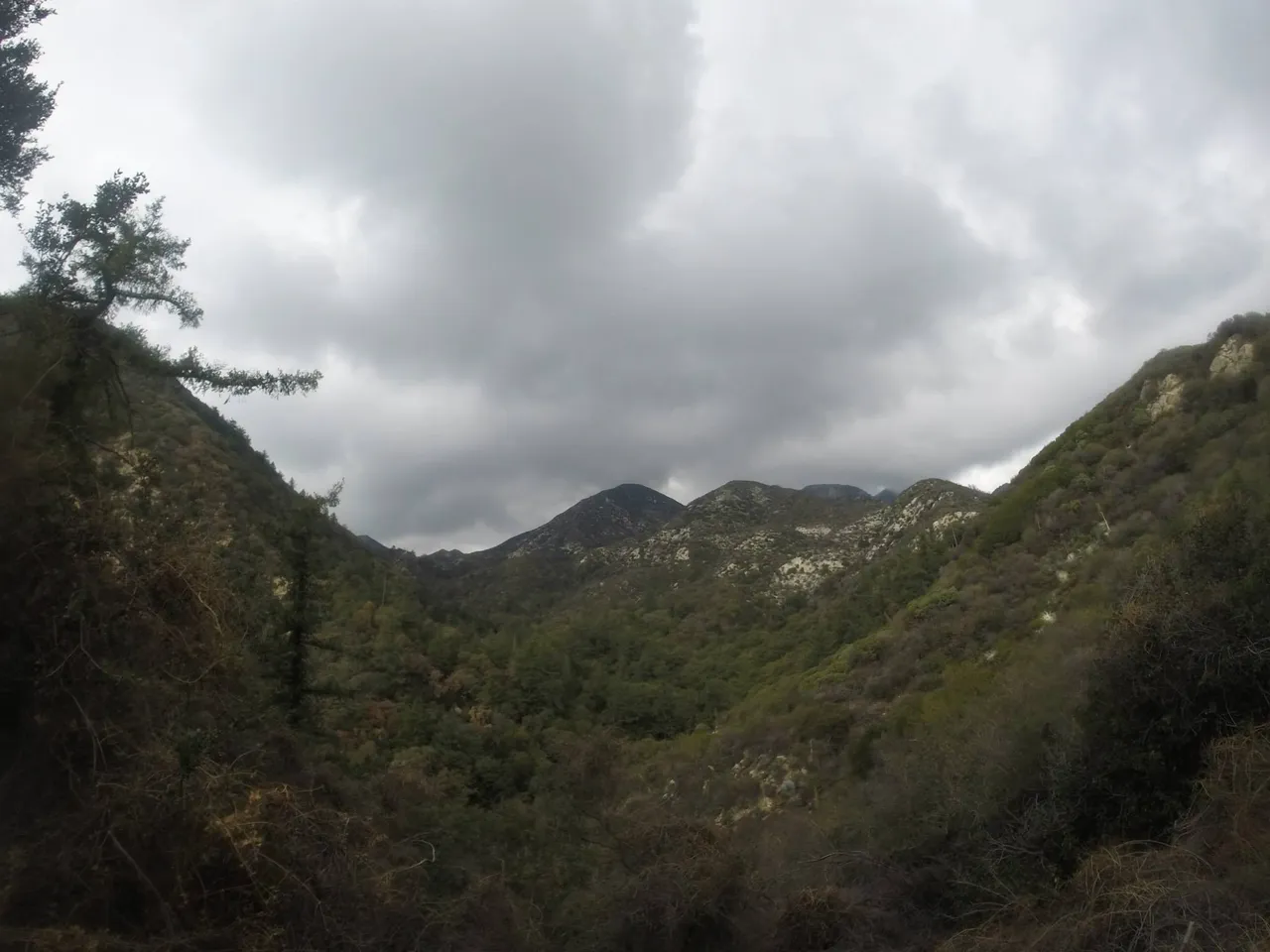
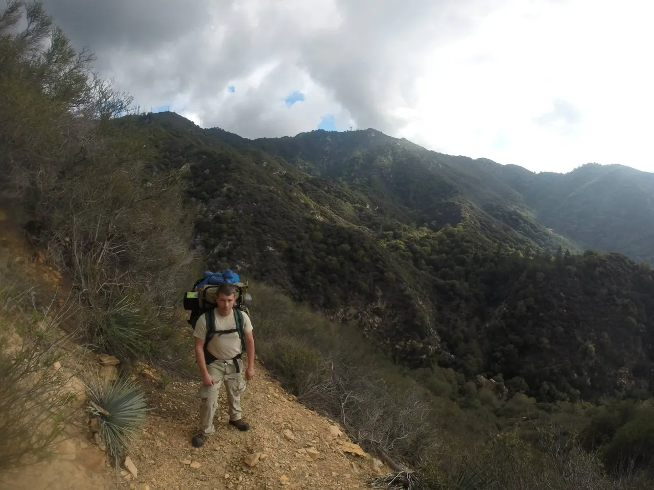
After time slipped by we realized we needed to get started on our trek, even though our camping spot was only a few miles up the creek. We would be camping at Hoegee campground and Derek took me along the upper winter creek trail. I was loaded down, utilizing my exterior framed back pack.
As we hiked up the trail with warm bellies full of tasty beer, we said goodbye to Chantry Flat and Adams Pack Station.
All along the way there were signs letting us know just how close it was until we could set up camp. I was excited because it was an easy hike but was informed by Derek this would be the easiest day of the week so I should soak it up.
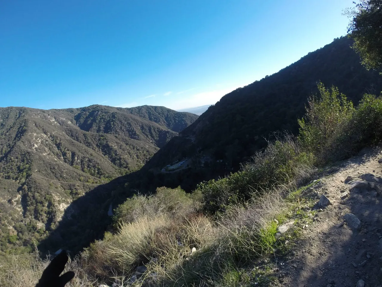
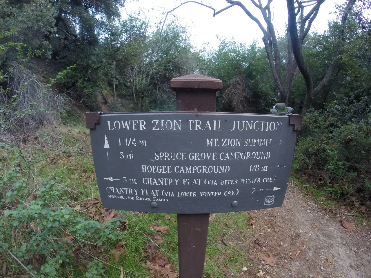
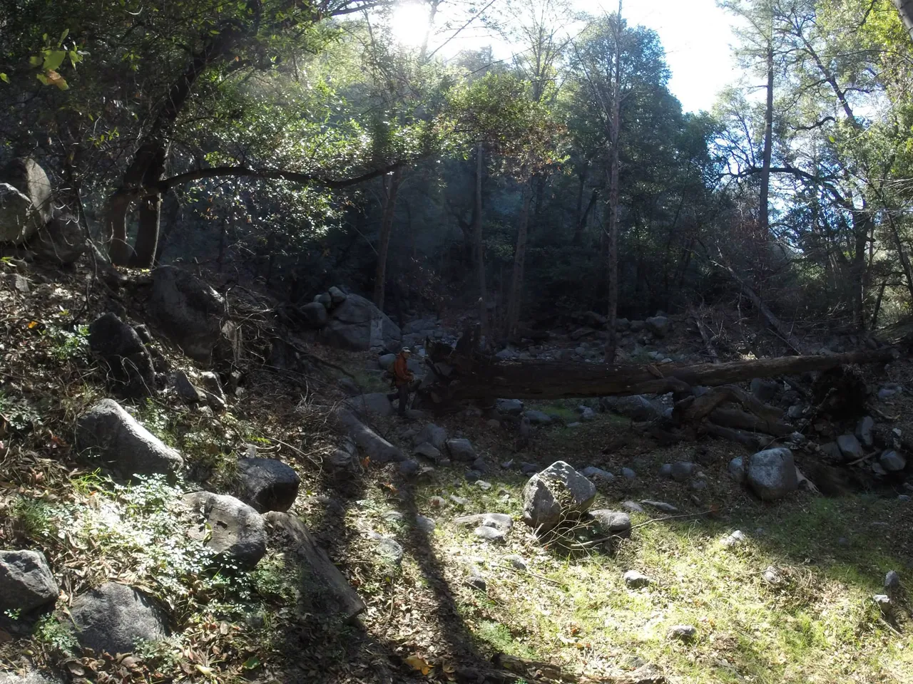
As we reached the Mt. Zion junction we had to hike back down the creek to Hoegee campground. The lower Winter Creek trail went from the campground back to Chantry Flat.
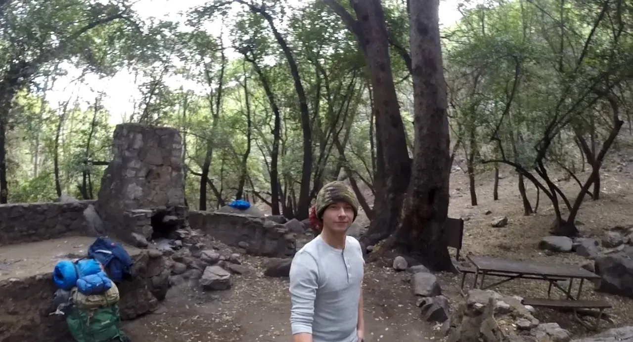
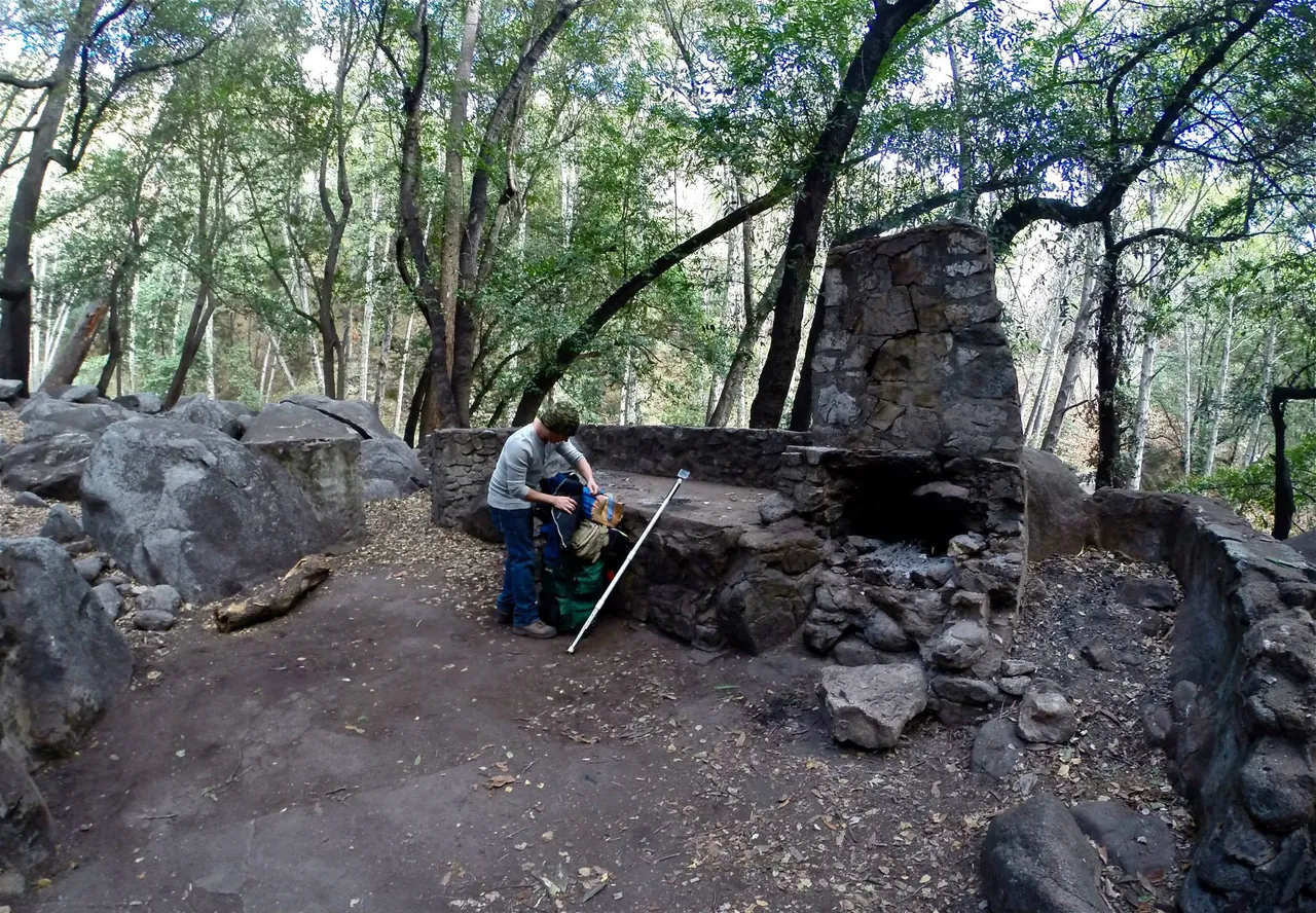
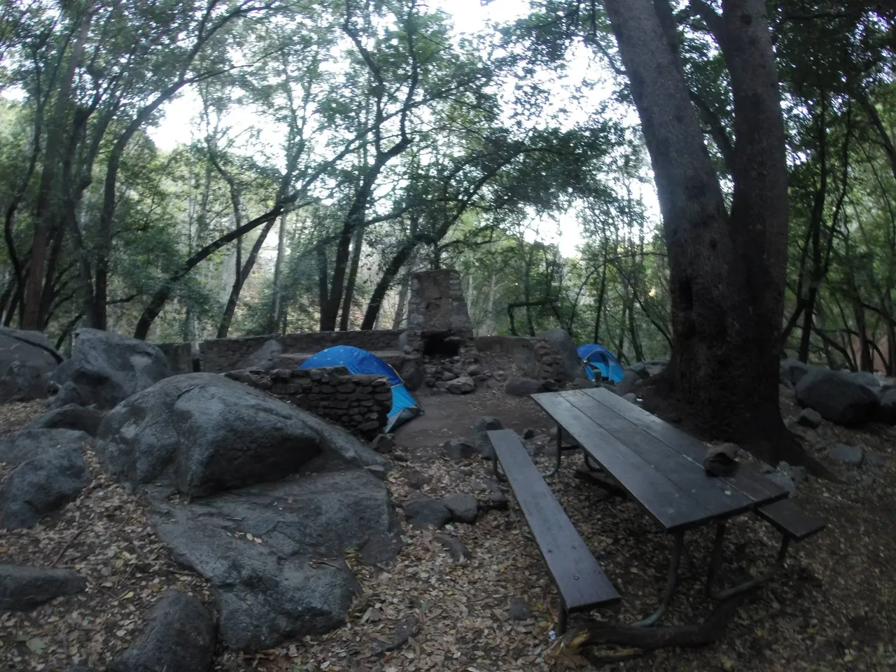
Hoegee campground was located in the creek bed and had large boulders all around. I was so happy to get the pack off.
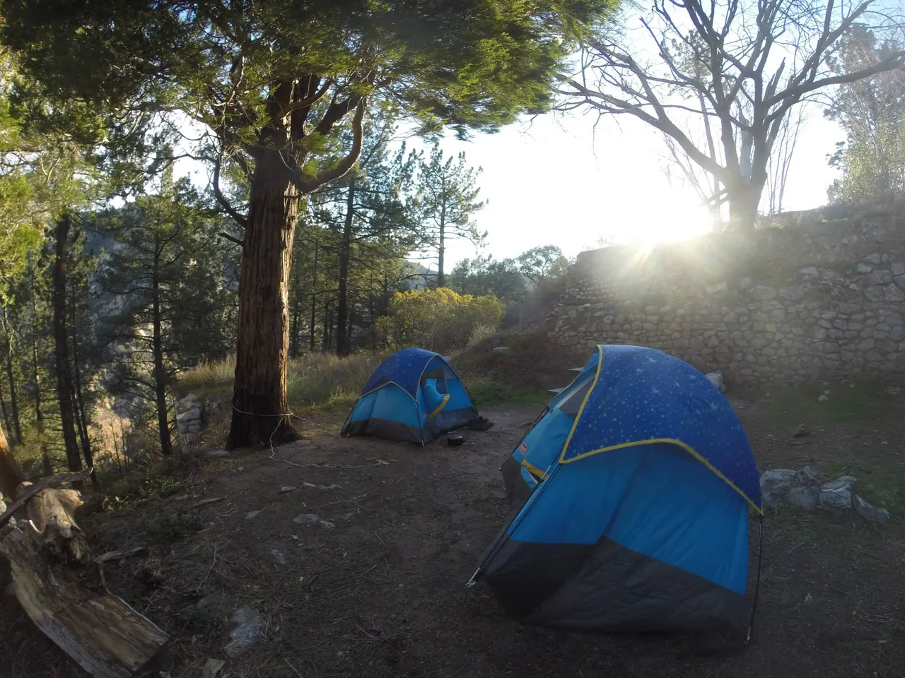
We found old ruins to camp near, as the solid concrete slab was a flat surface to put our tents up. It had a nice fire pit ready to use.
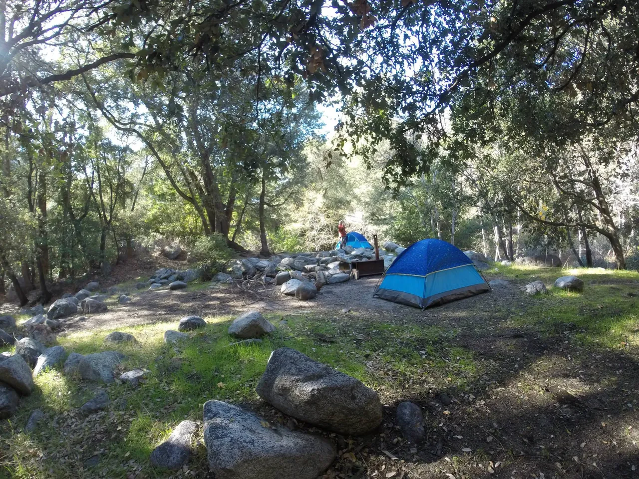
We set up our tents right away to get it done. By shear coincidence Derek and I had purchased the same blue childs tent to bring along on this trip. These types of tents may be small but they are super cheap and lightweight.
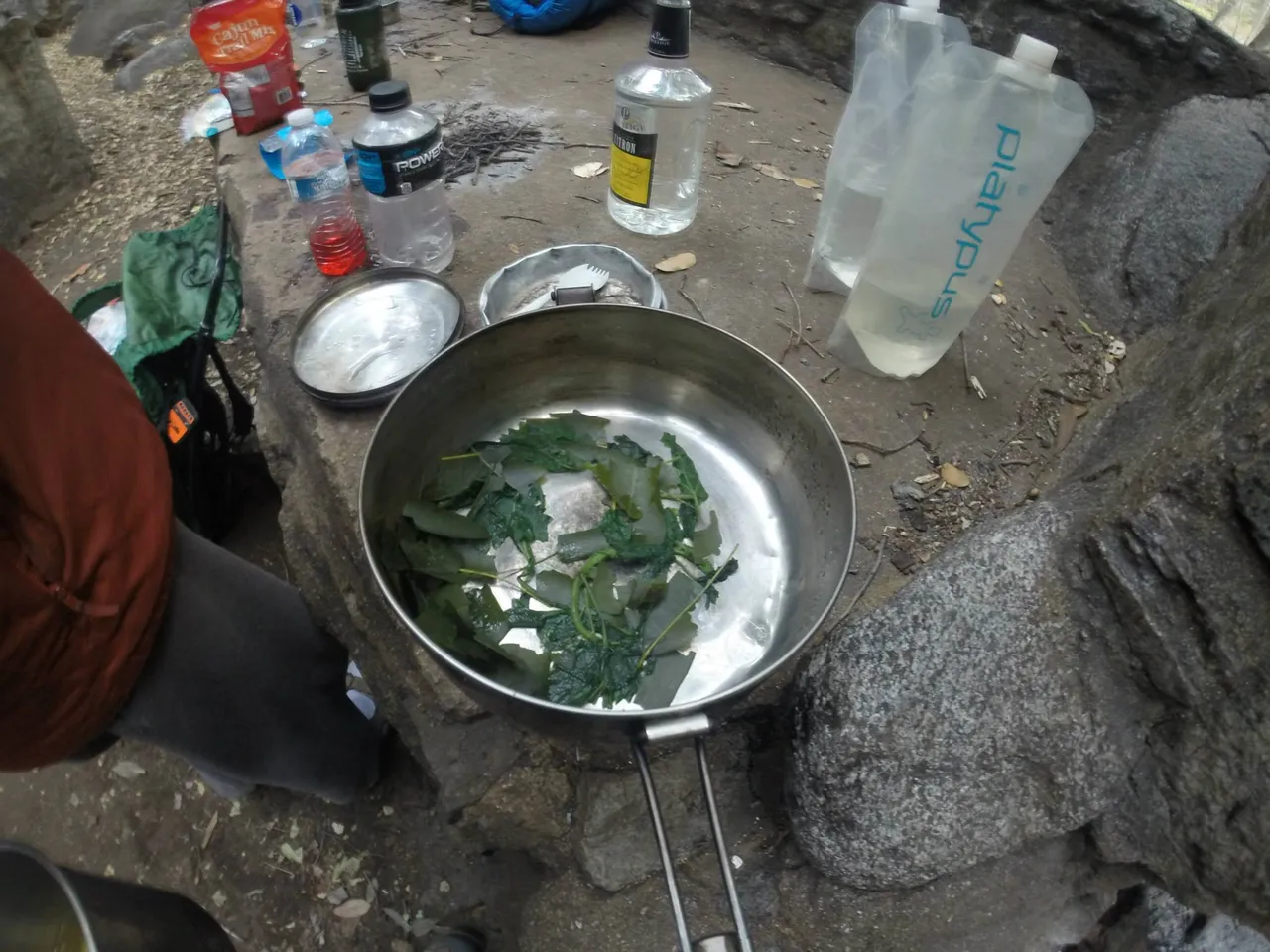
We hung out and cooked dinner, enjoying the rest of this easy day. The next morning Derek cooked up some awesome bay leaf and stinging nettle tea to get us going. Talk about a pick me up, way better than coffee. It was on this trip Derek would also get me hooked on sage tea as well.
After packing up we set off on what would be the most strenuous day, hiking over the ridge and on to Eaton Canyon. Derek had a nice little camping spot in Eaton and we would spend the next 2 nights camping and exploring.
Once we reached Eaton Canyon, we set up camp as usual. It was around this time that I realized I didn't bring my foam sleeping pad. Derek informed me I would freeze my butt off during the night as a sleeping bag strait on the ground (the tarp floor of the tent was essentially sleeping on the ground) does little with keeping you warm. We also discussed the huge metal fire pit that must have been air lifted to the location.
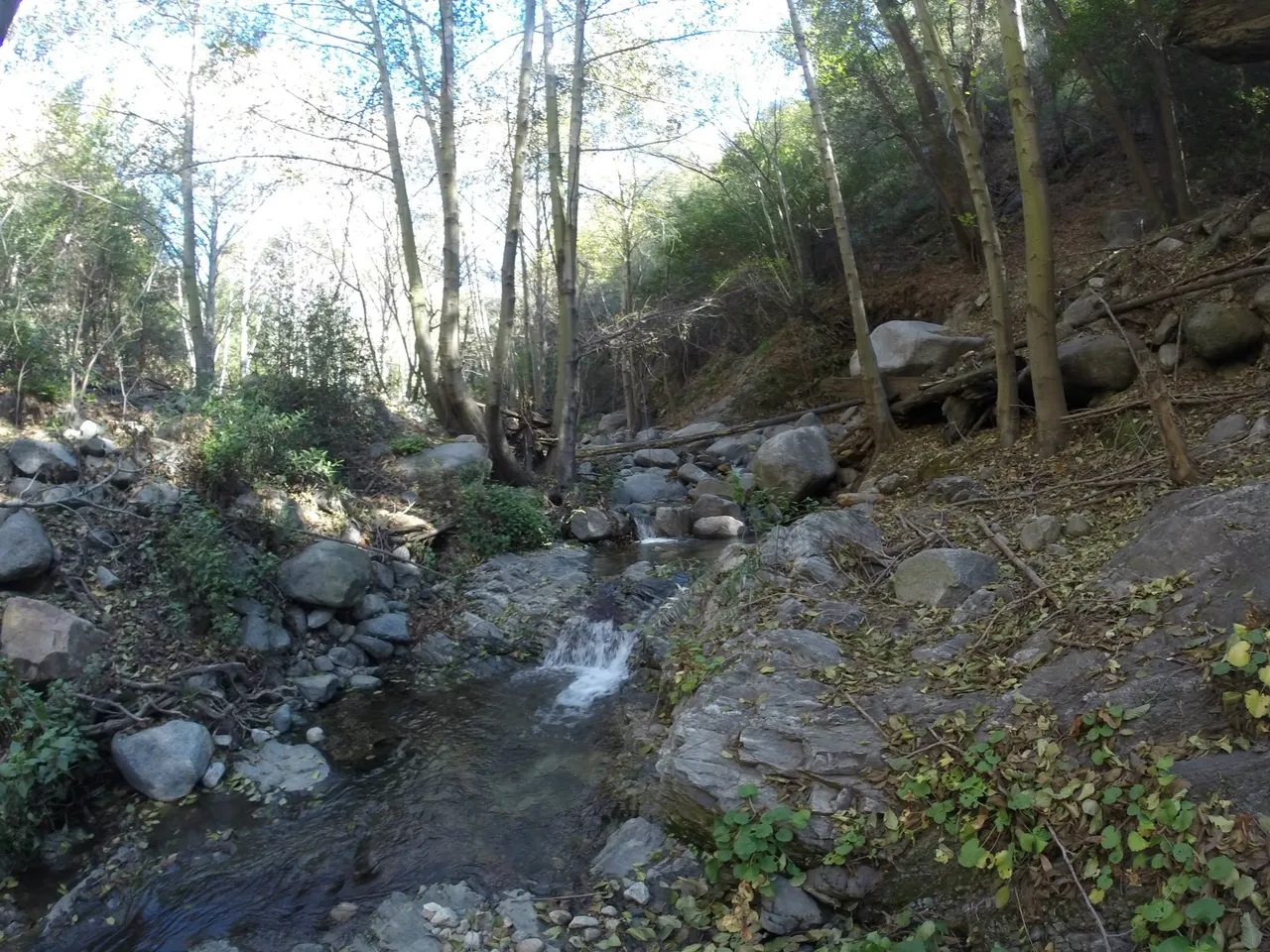
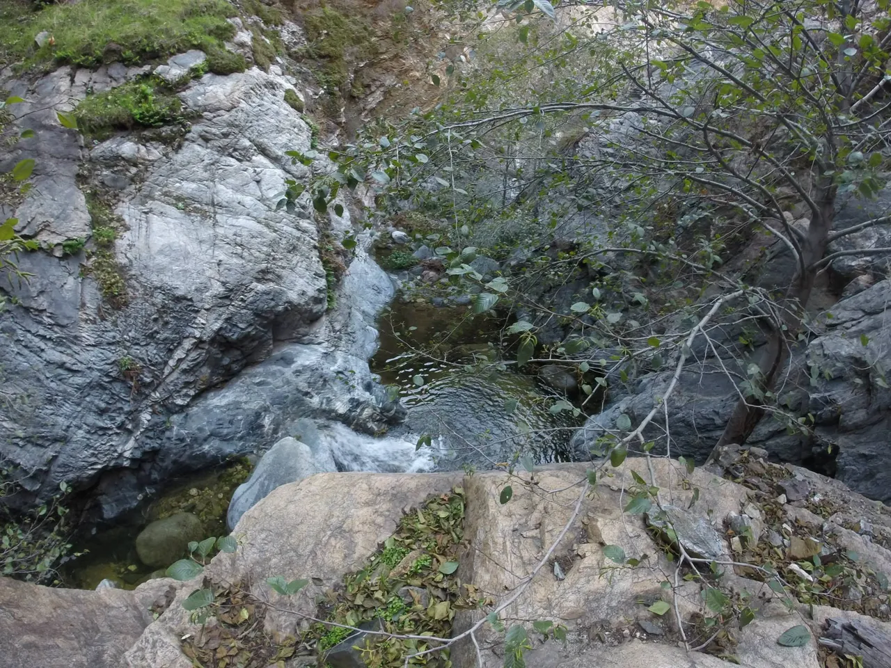
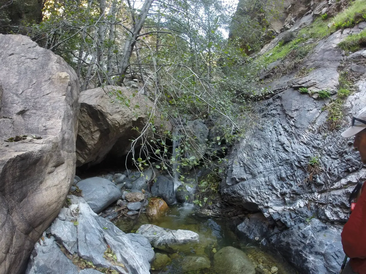
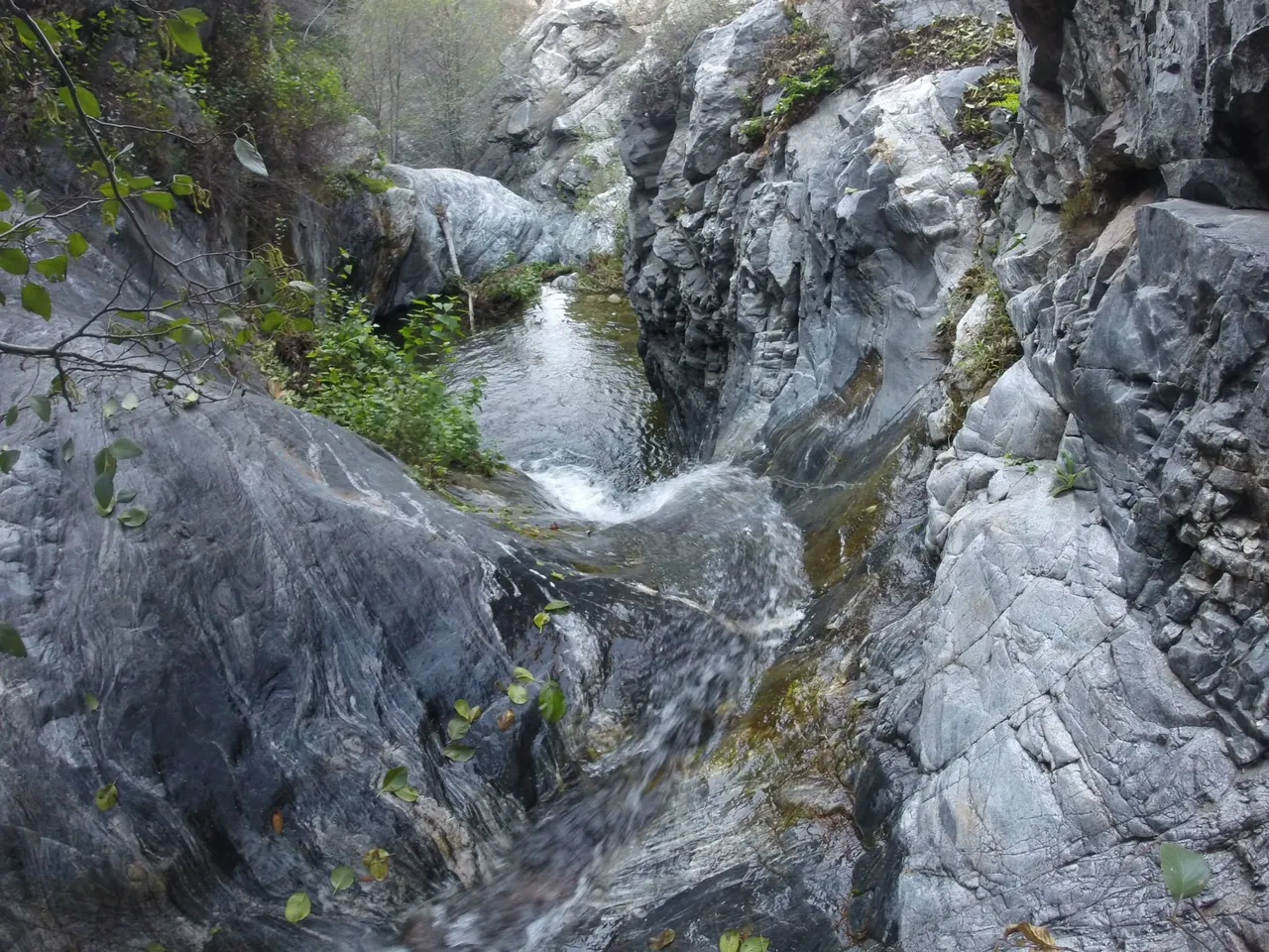
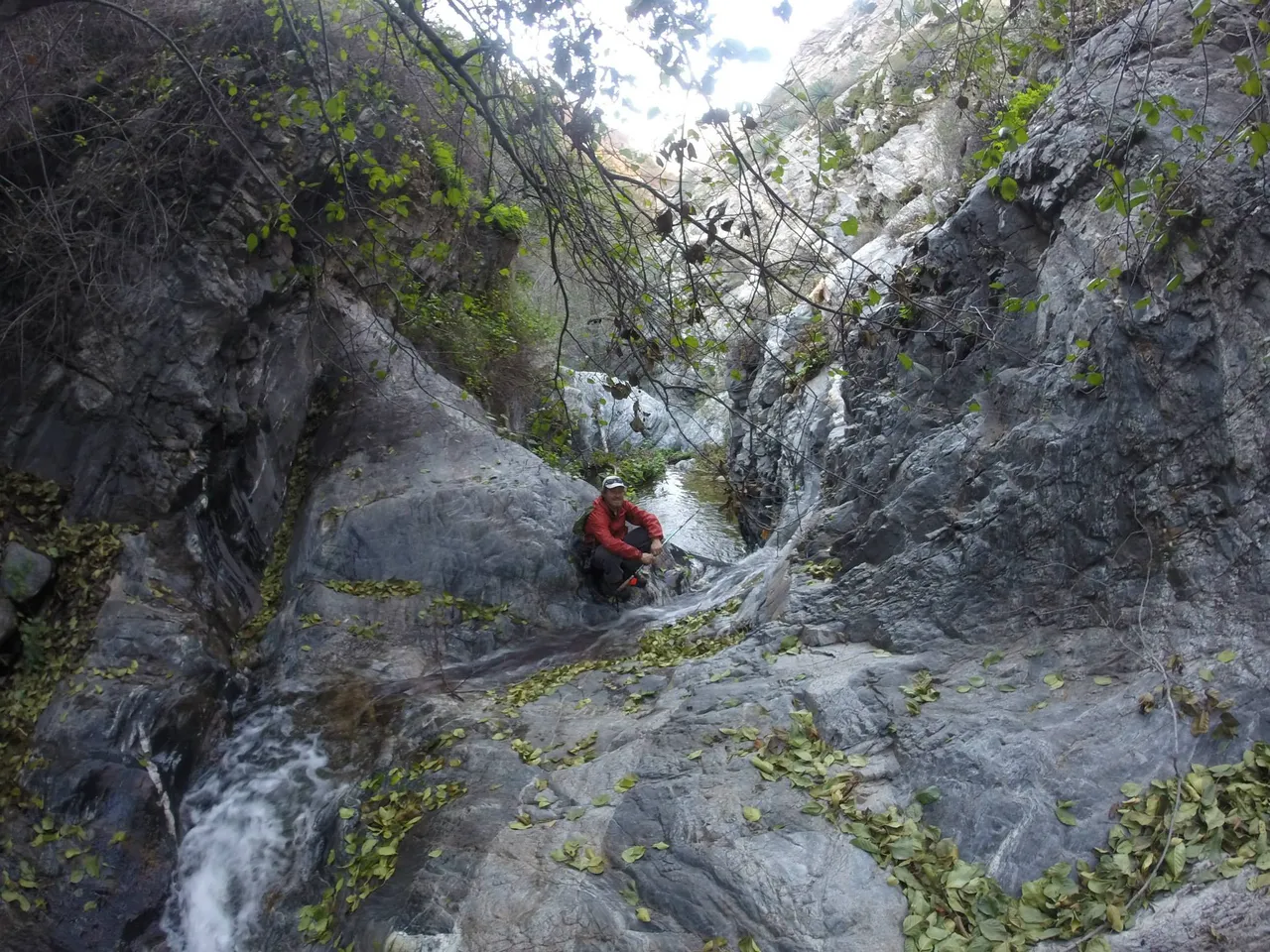
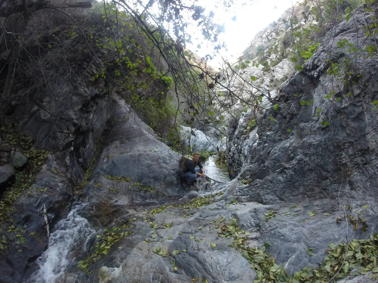
Over the next day, Derek and I explored down Eaton canyon and enjoyed all the little water falls along the way
We ended up finding a nice little nook to enjoy a bite to eat and fill up our bottles with flowing water.
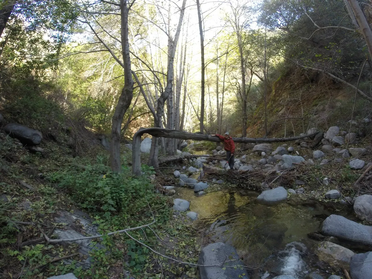
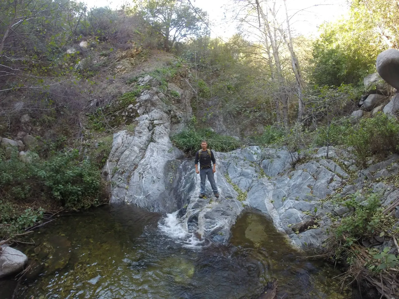
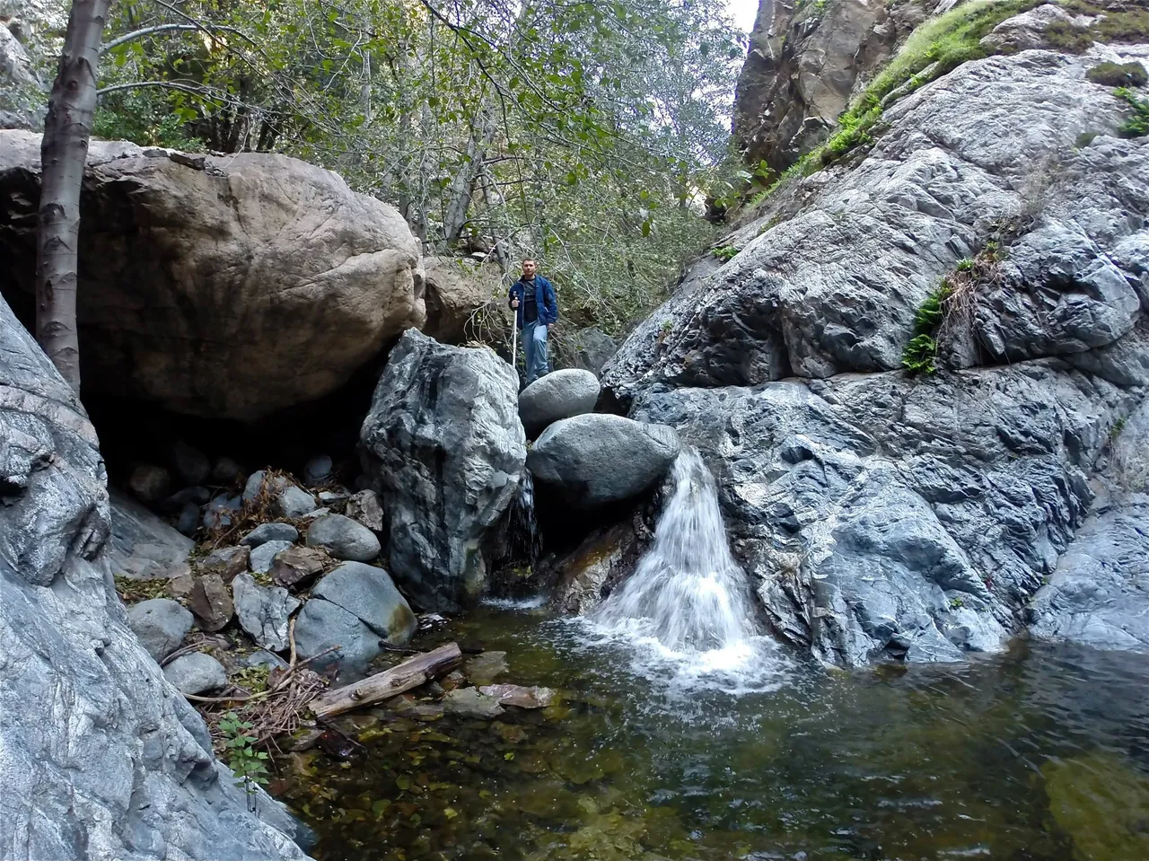
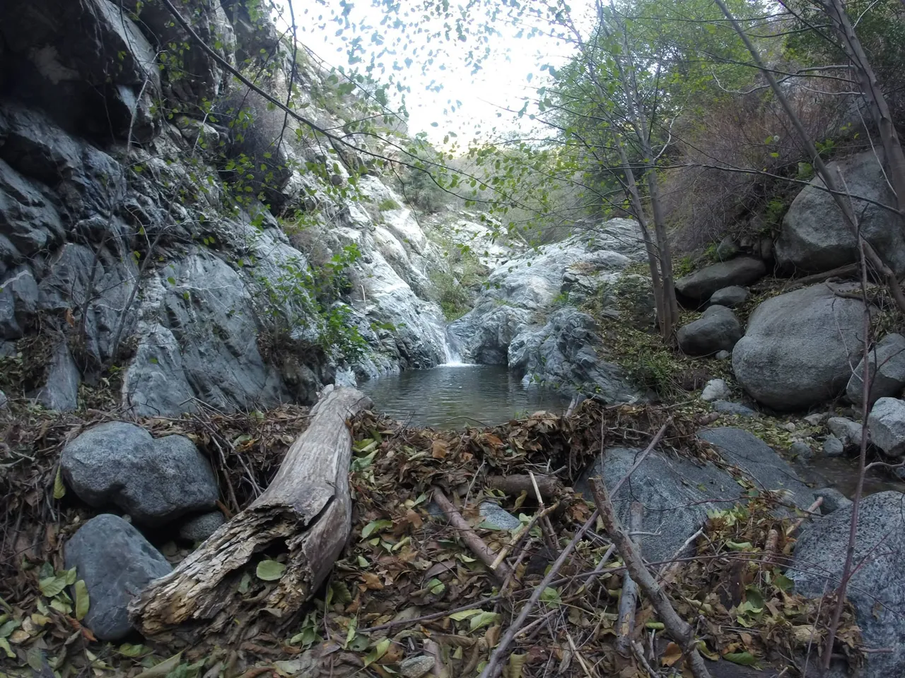
After a quick refuel, we continued down the winding canyon. The waterfalls got more complicated to navigate and after a few miles of travel we reached the end of the road for us.
We hung out for a bit then headed back up to camp, on the way back up Derek was crazy enough to hop into this pool of water. I was not even going to dip my toes in that cold water.
Back at camp we talked over what we had seen that day. The next morning we packed up and headed out of Eaton Canyon, and on to Echo Mt. where we would be meeting a group of Dereks friends for a get together before New Years. It was New Years eve eve, because everyone came to the conclusion they would be busy New Years eve so why not party the night before the party?
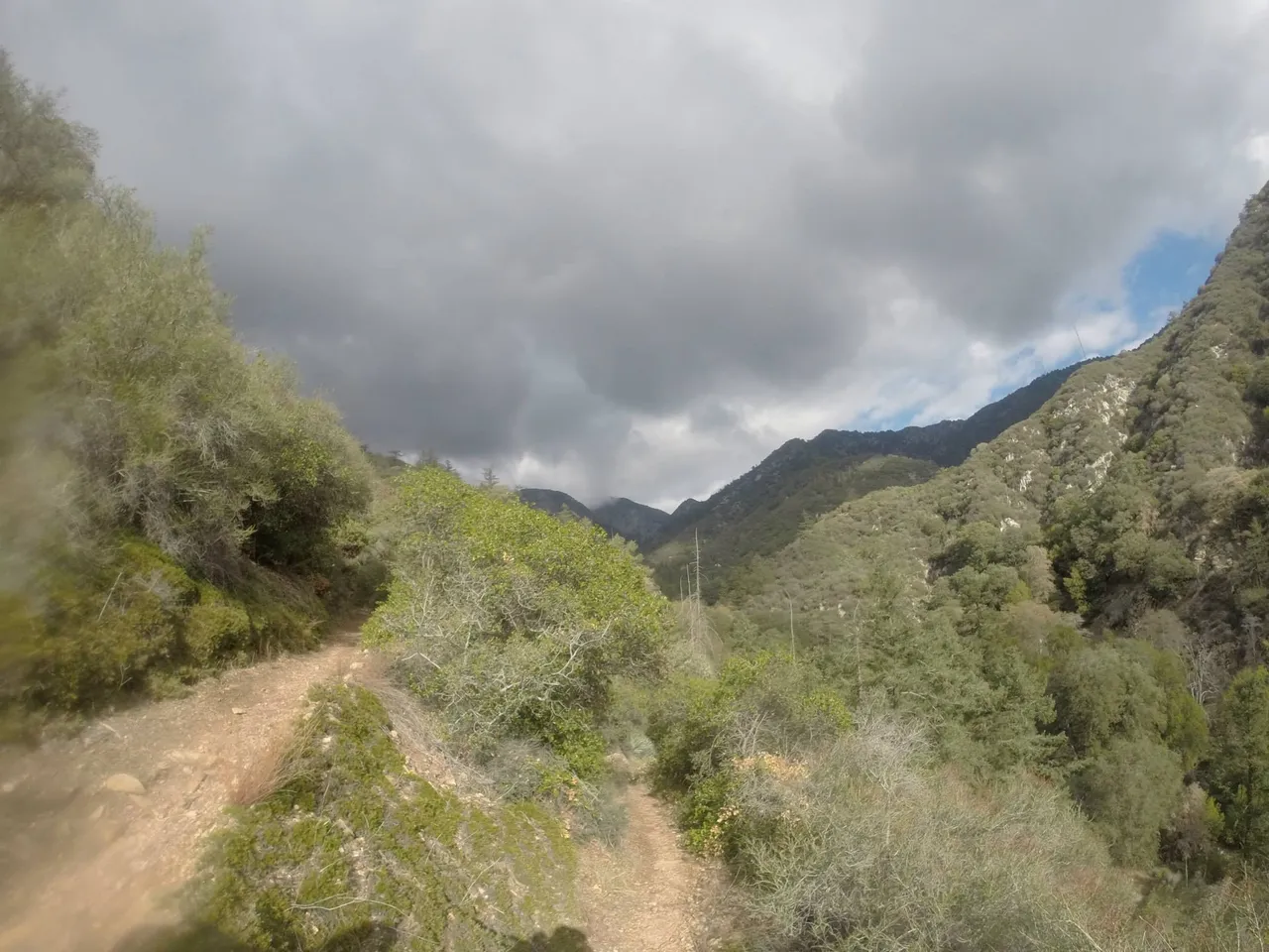
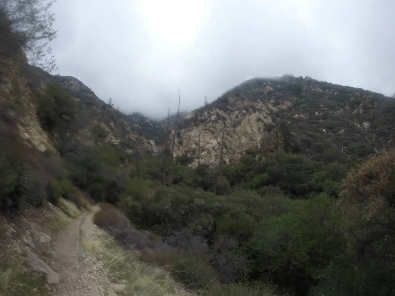
Hiking out of the canyon it was noticeable the weather was starting to get gloomy and the area was set to get a winter storm
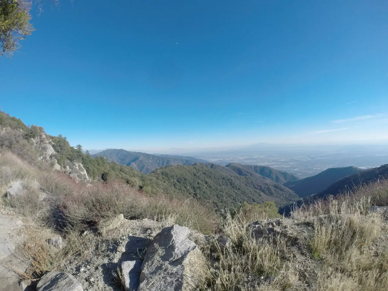
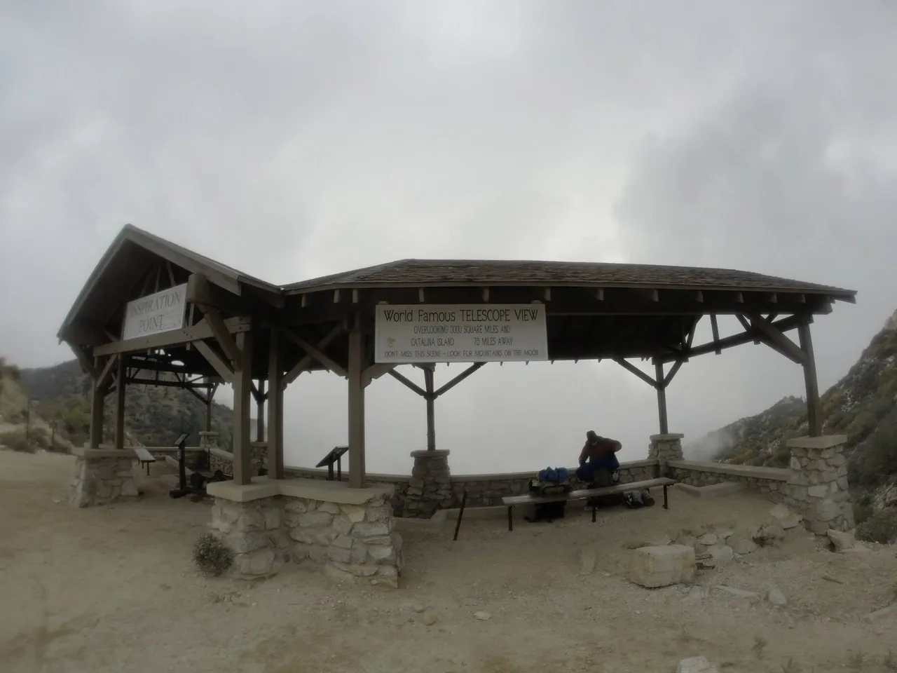
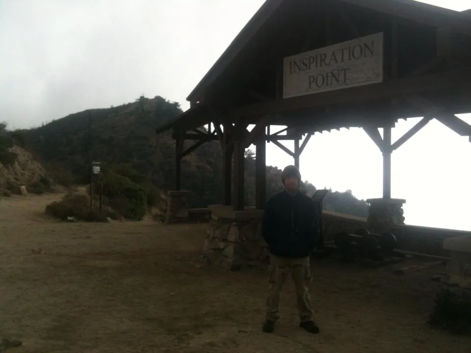
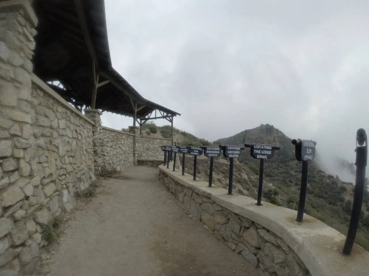
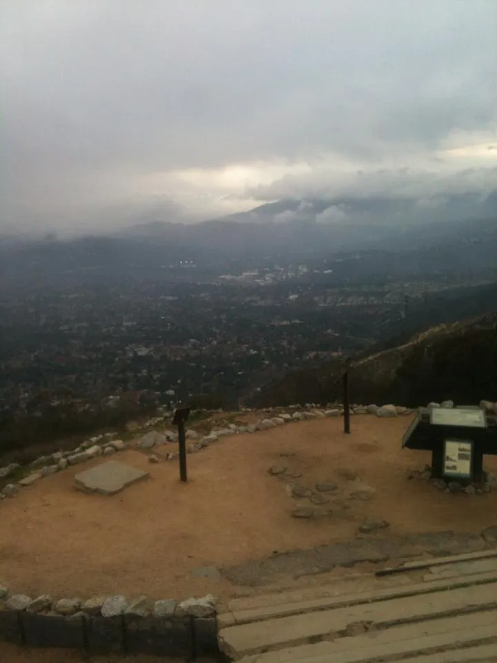
On our way to Echo Mt. we stopped at Inspiration Point. When we first arrived the entire viewing area was foggy but it cleared up and left us in the clouds. The entire city below was not view able.
It was a shame it was so gloomy because Inspiration Point had a viewing area with a bunch of spy glasses to view all the locations printed on the side of each individual one.
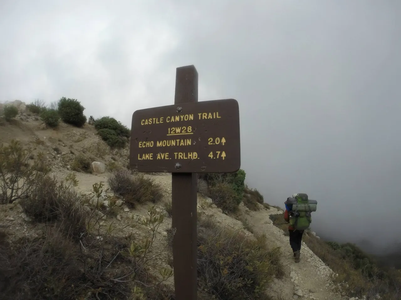
After hanging out a bit we headed down the trail towards Echo Mt. It was easy as it was only a few mile trek downhill.
We left Inspiration Point high in the clouds
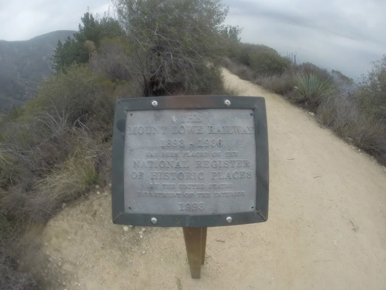
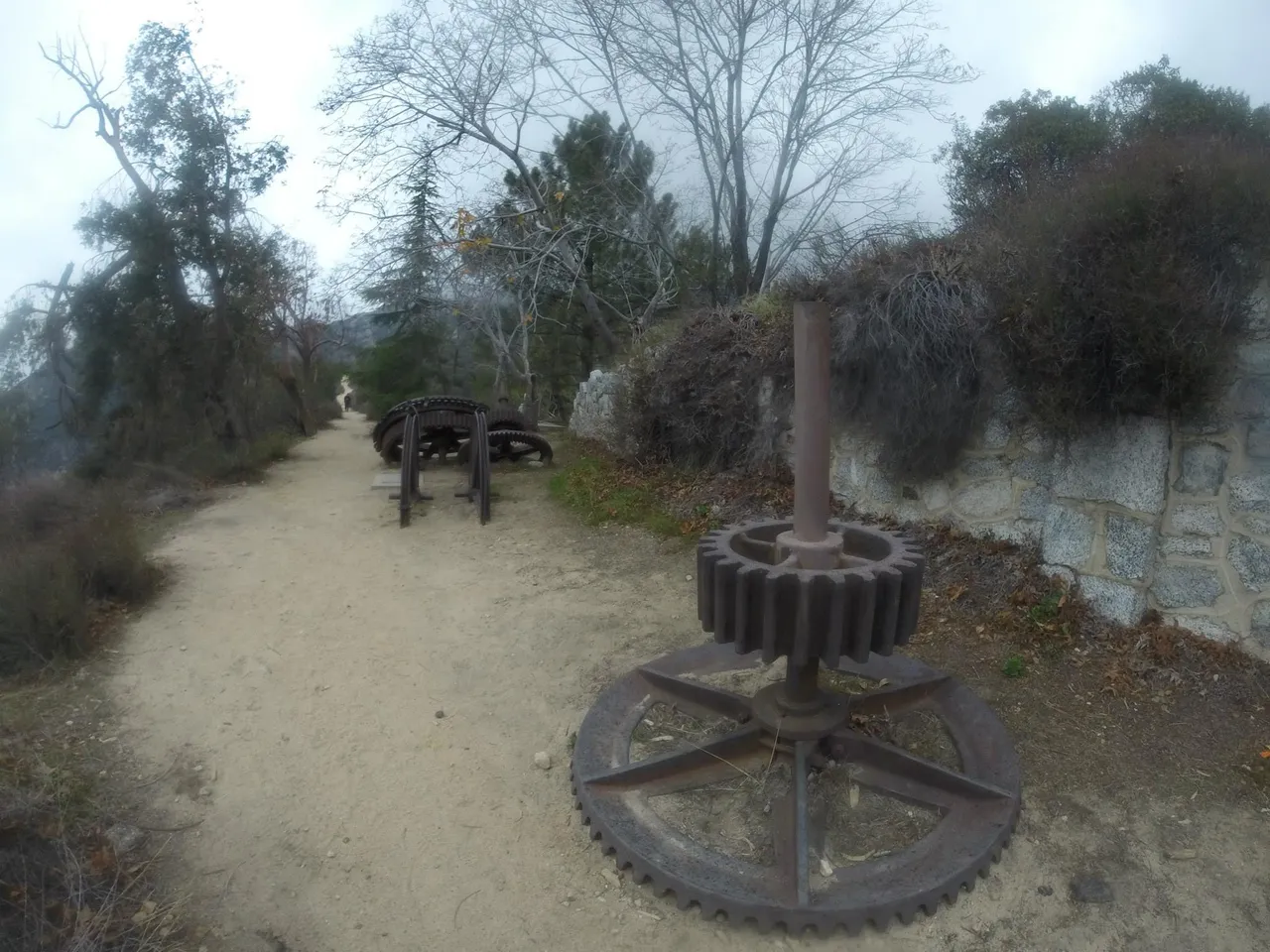
Upon reaching Echo Mt. we were greeted by remnants of the old Mount Lowe Railway.
Giant gears were laid about, residue of what used to be.
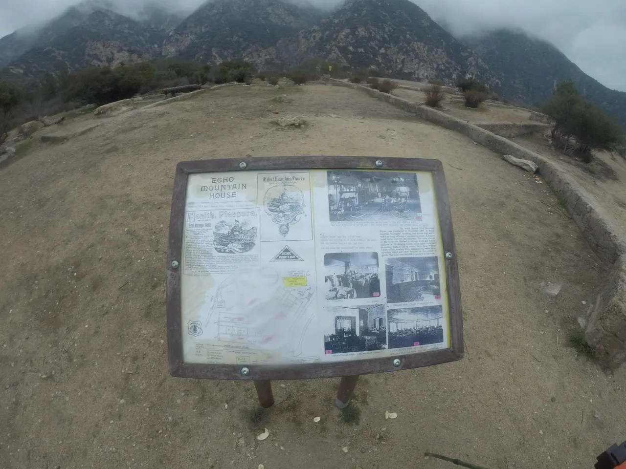
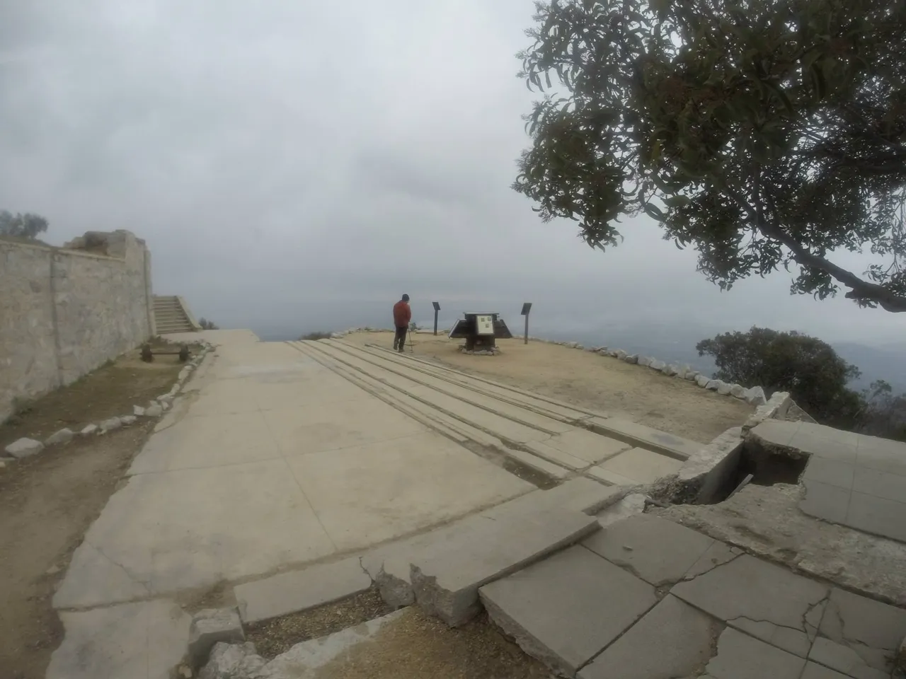
We set up camp and waited for the others to show up. Placards located all around told of the history of the mountain.
Echo Mt. overlooks the city of Altadena and Pasadena and gives spectacular views.
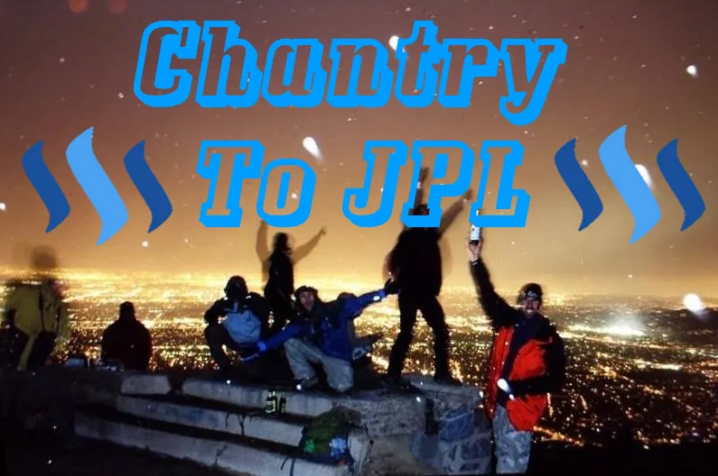
After some time passed the others showed up. They had hiked up from a lower trailhead and planned on hiking back out before the end of the night. As the night progressed we all had a great time hanging out. The weather turned from hard rain to snow and the temperatures dropped significantly. It was at this point we all got a group shot. The photo below was created a few days later by one of the guys in the group.
Image created by Alonso Vasquez
The wind really started to pick up and the others, after hours of partying and good vibes, decided it was time to head back down the hill in the bad weather. Derek and I retreated to the shelter of our tents and called it a night. The next morning was chaos and the wind really was blistering. The snow that had fallen the night before had melted and we were left with frigid wind. Our tents were really put to the test that night and it was difficult to pack up.
After the hassle of getting everything packed up we headed out. Derek and I were set to hike up to Brown Mountain and ring in the New Year watching fireworks from that vantage point. As the wind was frigid and we were really put to the test hiking around in it, we both decided to cut the trip short one day and head down the hill towards his car. It was a long 8 mile hike down to where his car was parked, near JPL, but as we got lower in elevation the hills around us helped to block the wind somewhat. I was relieved to finally have my pack off and not have to worry about hiking with it the next day. When I got home, I checked and the GPS I had strapped to my back the entire trip had done a great job of tracking our progress throughout the week.
I hope you enjoyed my tale of hiking 28 miles through the Angeles National Forest and thank you for taking the time to read it.
All photos, unless otherwise stated or sourced, were taken by @csusbgeochem1. Animation and cover photo created by @csusbgeochem1 using GIMP.
If you found this story interesting you can find more like it by following @socalsteemit and help us expand the Steemit community together